Bridge to Nowhere via East Fork Trail
View Photos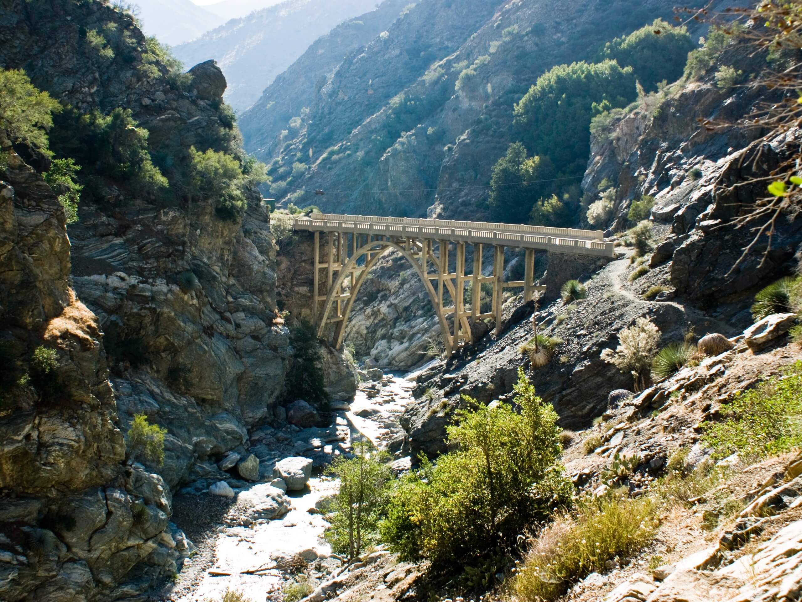
Bridge to Nowhere via East Fork Trail
Difficulty Rating:
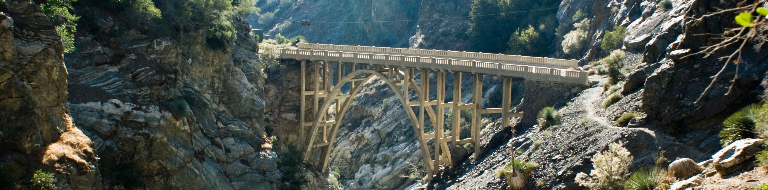
The hike to the Bridge to Nowhere via East Fork Trail is a fun little adventure in the Angeles National Forest that will lead you along the serene banks of the San Gabriel River. While out hiking the trail, you will follow closely along the water’s edge as the river cuts through the canyon, eventually arriving at an arched bridge that was constructed in 1936. Make sure that you have a valid adventure pass displayed in your car when setting out on this hike or else you might receive a fine.
Getting there
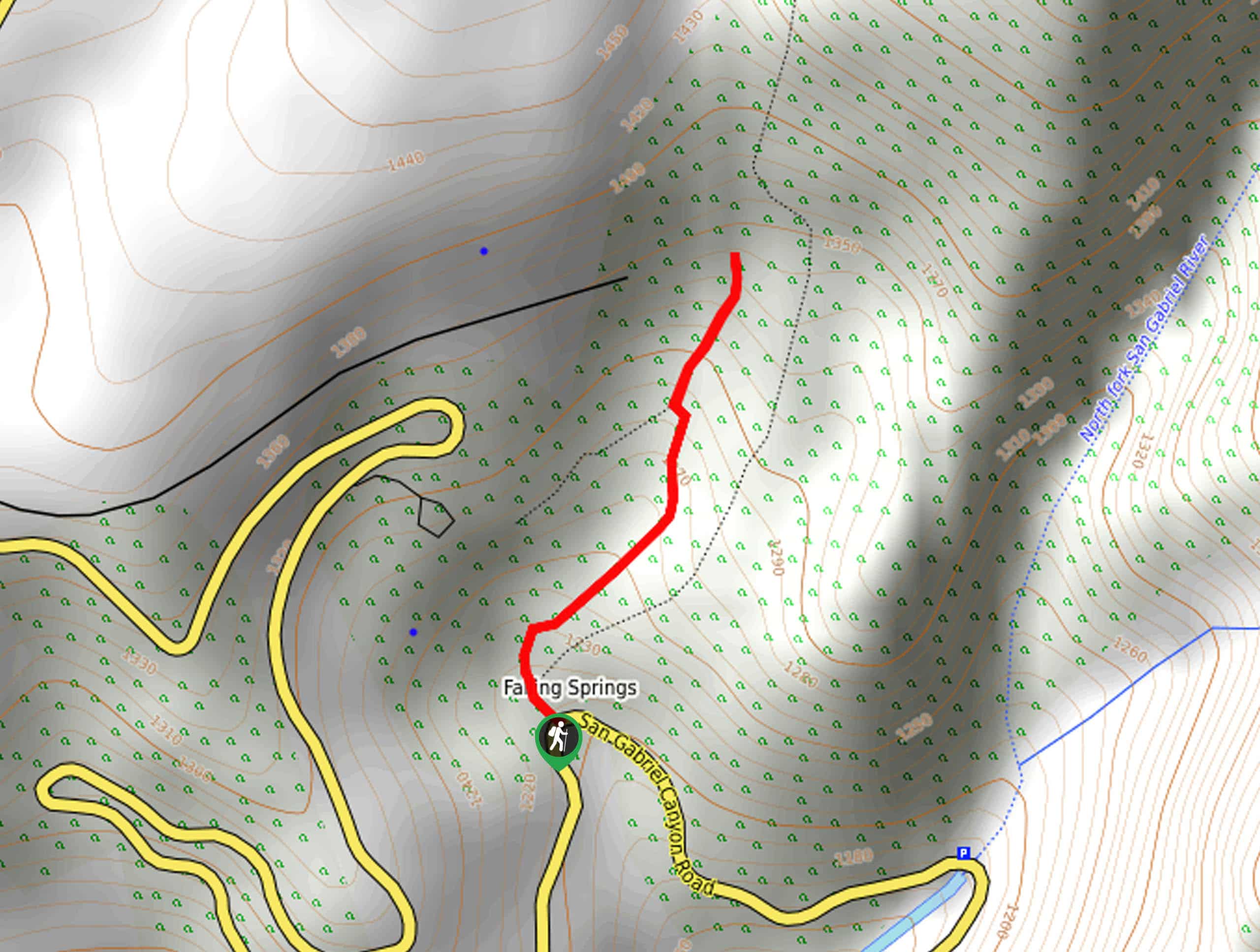
The trailhead for this hike can be found at Coyote Flats at the end of East Fork Road.

About
| Backcountry Campground | No |
| When to do | Year-Round |
| Pets allowed | Yes - On Leash |
| Family friendly | Older Children only |
| Route Signage | Average |
| Crowd Levels | High |
| Route Type | Out and back |
Bridge to Nowhere via East Fork Trail
Elevation Graph
Weather
Bridge to Nowhere via East Fork Trail Description
The Bridge to Nowhere via East Fork Trail isn’t an overly difficult hike, but it is relatively long and features some rugged terrain. Be sure to wear supportive hiking footwear and pack plenty of water and snacks. Additionally, this is a popular area, so try to arrive early to easily secure a parking space.
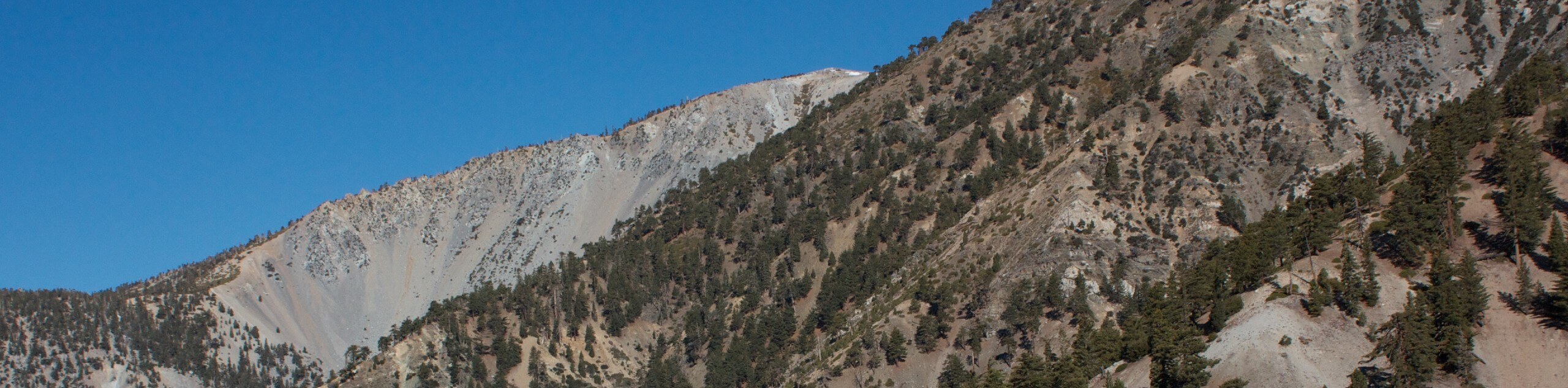
While the Bridge to Nowhere itself may have been abandoned shortly after its construction, that is no reason to abandon this trial, as it offers a great way to explore the beautiful terrain of the San Gabriel Mountains. Hike along the winding banks of the San Gabriel River, appreciate the beauty of nature, and take in the views of the surrounding peaks while on this exceptional outdoor adventure.
Setting out from the trailhead at Coyote Flats, you will follow the trail as it leads to the northeast through the undulating landscape of the canyon. Here, you will follow closely alongside the banks of the San Gabriel River and feel a sense of relaxation wash over you with the sounds of the rushing water.
Keeping on the east bank of the river for roughly 2.2mi, you will eventually turn left at a junction and cross over Allison Gulch, continuing on to the north for another 1.85mi to arrive at the site of the Bridge to Nowhere.
Take some time to rest here, enjoy a scenic lunch, and take in the wonderful construction of the arch bridge, before turning back along the trail to retrace your steps on the return to the trailhead where you began your adventure.
Trail Highlights
Bridge to Nowhere
Situated in the rugged terrain of the San Gabriel Mountains, the Bridge to Nowhere is a beautiful arched bridge that was constructed in 1936 and spans the San Gabriel River. The bridge received its name from the fact that it was quickly abandoned after its construction due to a severe flood in the area. It is now a popular place for bungee jumping.
Frequently Asked Questions
Why is it called the Bridge to Nowhere?
The Bridge to Nowhere received its name from the fact that it was abandoned shortly after its construction, largely due to extreme flooding in the area.
Is there water at the Bridge to Nowhere?
The Bridge to Nowhere spans the San Gabriel River, which can see fast and deep waters during the spring season. Exercise caution in areas close to the water.
Insider Hints
Display an adventure pass in your vehicle when hiking
Wear proper hiking footwear
Arrive early to secure parking
Similar hikes to the Bridge to Nowhere via East Fork Trail hike
Mount San Antonio and Mount Baldy Notch Trail
The Mount San Antonio and Mount Baldy Notch Trail is a beautifully scenic, albeit physically demanding, adventure in the Angeles…
Echo Mountain via Sam Merrill Trail
The Echo Mountain via Sam Merrill Trail is a beautifully scenic adventure in the Angeles National Forest of Southern California…
Lewis Falls Trail
Hiking the Lewis Falls Trail is a spectacular, if fairly short, adventure in the Angeles National Forest that will take…
Comments