

Bernal Heights Park Trail
View PhotosBernal Heights Park Trail
Difficulty Rating:
The Bernal Heights Park Trail is an easy-going adventure in San Francisco that the whole family can enjoy. Wander along the lush mountainside of Bernal Heights and revel in the diversity of the area’s flora and fauna within an urban setting.
Getting there
The Bernal Heights Park Trail departs from the trailhead off Moultrie Street.
About
| Backcountry Campground | No |
| When to do | Year-round |
| Pets allowed | Yes - On Leash |
| Family friendly | Yes |
| Route Signage | Average |
| Crowd Levels | Moderate |
| Route Type | Circuit |
Bernal Heights Park Trail
Elevation Graph
Weather
Bernal Heights Park Trail Description
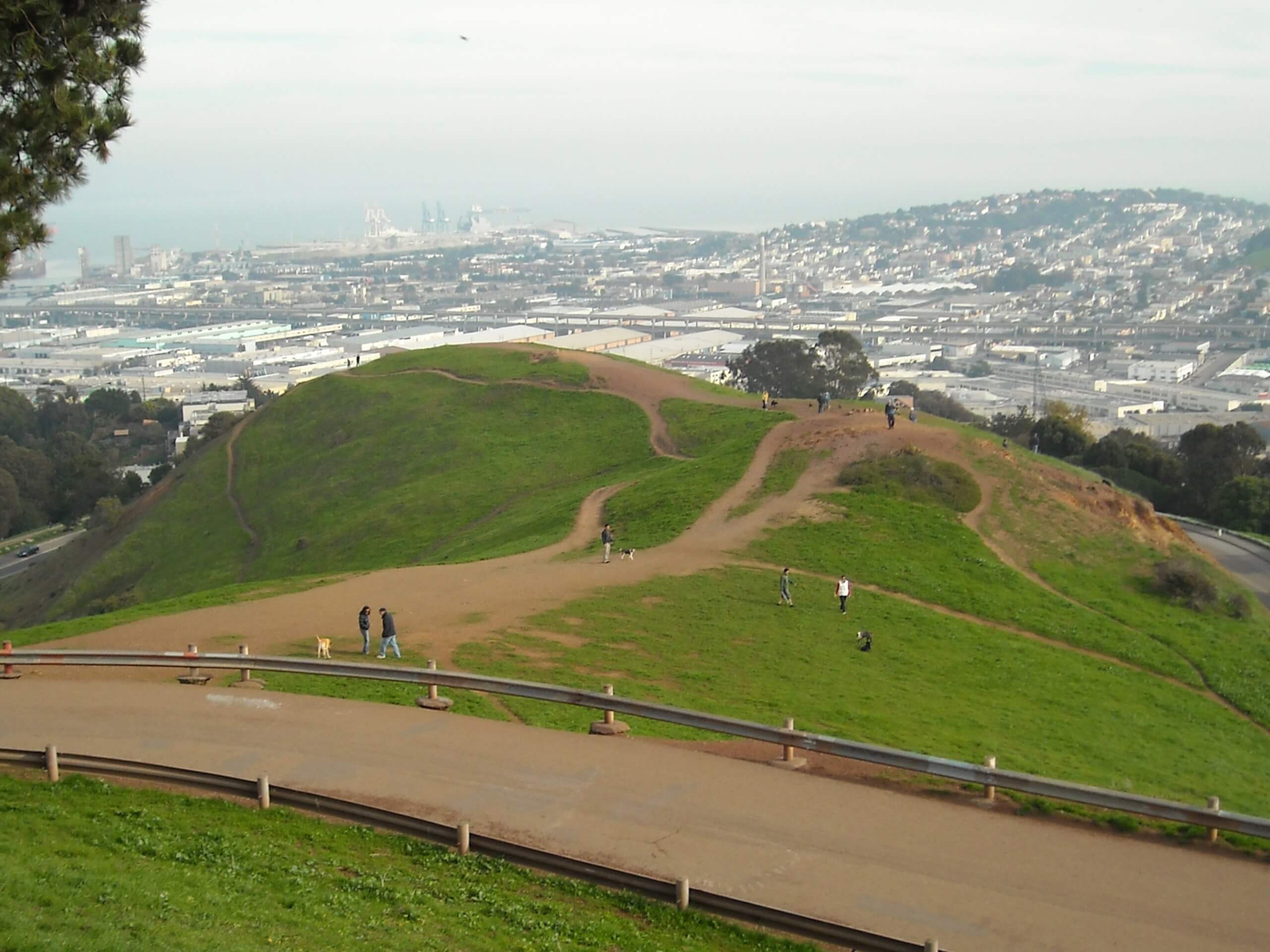
Get outside and experience nature along the Bernal Heights Park Trail. This lovely nature trail is accessible to hikers of all ages and ability levels, offering wonderful scenery of the city and the charming green space. Perfect for a lunchtime escape, a picnic destination, or a spot to watch the sunset—this route sees plenty of traffic. Those seeking a more secluded adventure are encouraged to head out on weekday mornings.
Embark on your journey along the Bernal Heights Park Trail from Moultrie Street. Here you will be granted access to the trail—though you can trek in either direction, we chose to travel clockwise, turning left onto Bernal Heights Boulevard. This route travels around the perimeter of the park, offering wonderful views of the grassy hillside often adorned with wildflowers such as poppies and buttercups, as well as the impressive cityscape.
Notice the painted rocks that line the path and you will eventually reach the trail’s end at Folsom Street. Here, wander along the sidewalk, merging back onto Bernal Heights Boulevard which will bring you back to the trailhead.
Similar hikes to the Bernal Heights Park Trail hike

Lobos Creek Valley Path Hike
The Lobos Valley Creek Path Hike is a lovely adventure in Presidio Park that hikers of all skill levels and…

Hippie Hill and Stow Lake Loop Hike
The Hippie Hill and Stow Lake Loop Hike boasts a magical experience in the Golden Gate Park. Explore the city’s…

Fairy Gates Trail
The Rose Valley Falls Hike boasts an enchanting experience in San Francisco. Explore the Mount Sutro Open Space Reserve’s nook…


Comments