

Bay Area Ridge Trail: The Golden Gate Bridge
View PhotosBay Area Ridge Trail: The Golden Gate Bridge
Difficulty Rating:
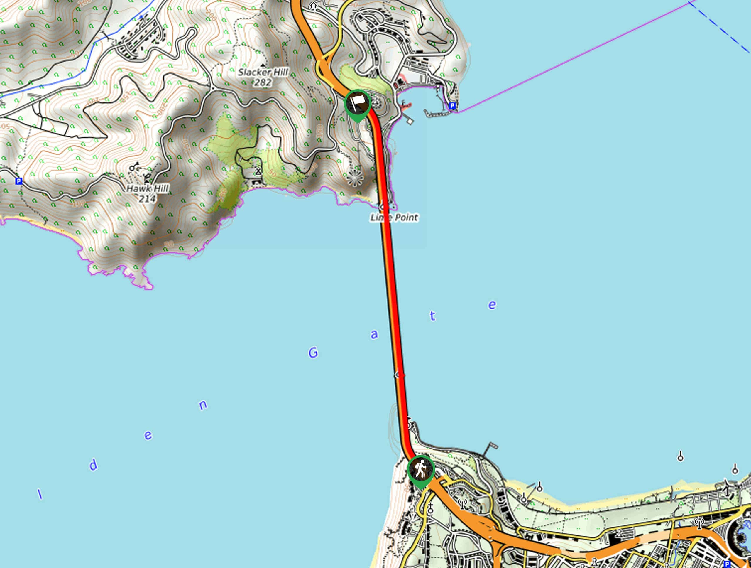
The Bay Area Ridge Trail: The Golden Gate Bridge is a must-add to your Bay Area itinerary. This one-way route spans the length of the world’s most famous bridge, boasting amazing scenes of the cityscape, the bay, Alcatraz, and more.
Getting there
Access this hike via the South Parking Lot off Vista Access Road.
About
| Backcountry Campground | No |
| When to do | Year-round |
| Pets allowed | Yes |
| Family friendly | Yes |
| Route Signage | Average |
| Crowd Levels | High |
| Route Type | One Way |
Bay Area Ridge Trail: The Golden Gate Bridge
Elevation Graph
Weather
Bay Area Ridge Trail: The Golden Gate Bridge Description
There is nothing more tourist-like than crossing the Golden Gate Bridge when visiting San Francisco, but we aren’t complaining! Wander across the famous ‘International Orange’ bridge, often shrouded in fog, and admire the grandeur of this architectural marvel. Note this area sees extreme conditions, notably fog and wind, so dress in layers as insurance against changing conditions! Additionally, your camera must be charged before heading out—the photo opportunities are limitless. Note this is a one-way trail, so make sure you leave a car or arrange for pickup at the trail’s end.
Embark on your adventure along the Bay Area Ridge Trail: The Golden Gate Bridge from the Welcome Center and parking lot off Vista Access Road. From here, you will be granted awe-inspiring views of the bridge before connecting onto the Golden Gate Bridge East Sidewalk. This route will guide you northward along the sidewalk above the bay. Marvel at the views of the bay and the Marin Headlands—as well as Alcatraz and Angel Island. Be sure to take plenty of pictures as you wander, and make sure to stay on the proper side signposted for walkers.
Eventually, you will cross the bridge into the Marin Headlands. Continue hiking, and you will reach the trail’s end at Marin Vista Point. If you wish to cross back over the bridge, head back along the Golden Gate Bridge West Sidewalk.
Similar hikes to the Bay Area Ridge Trail: The Golden Gate Bridge hike
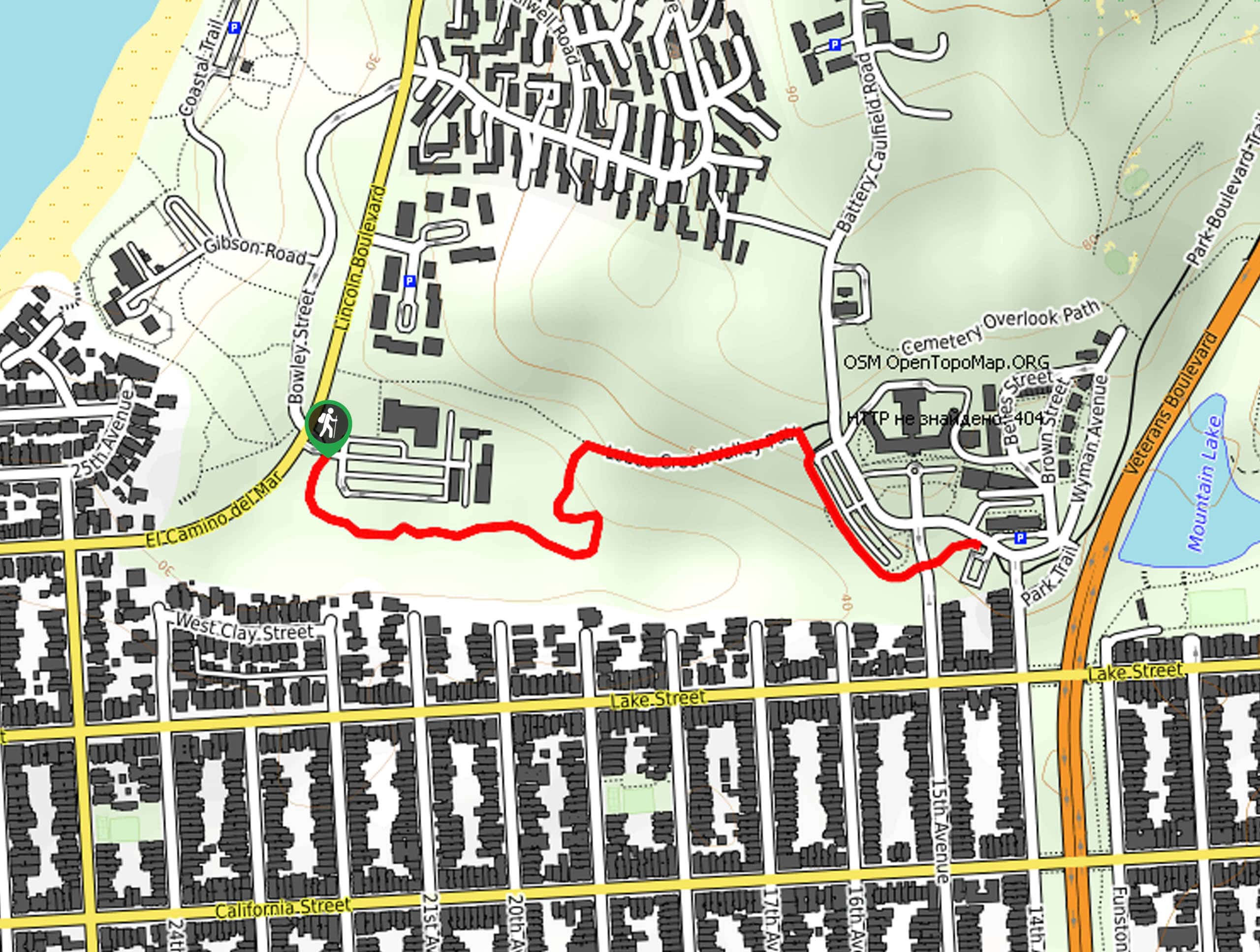
Lobos Creek Valley Path Hike
The Lobos Valley Creek Path Hike is a lovely adventure in Presidio Park that hikers of all skill levels and…
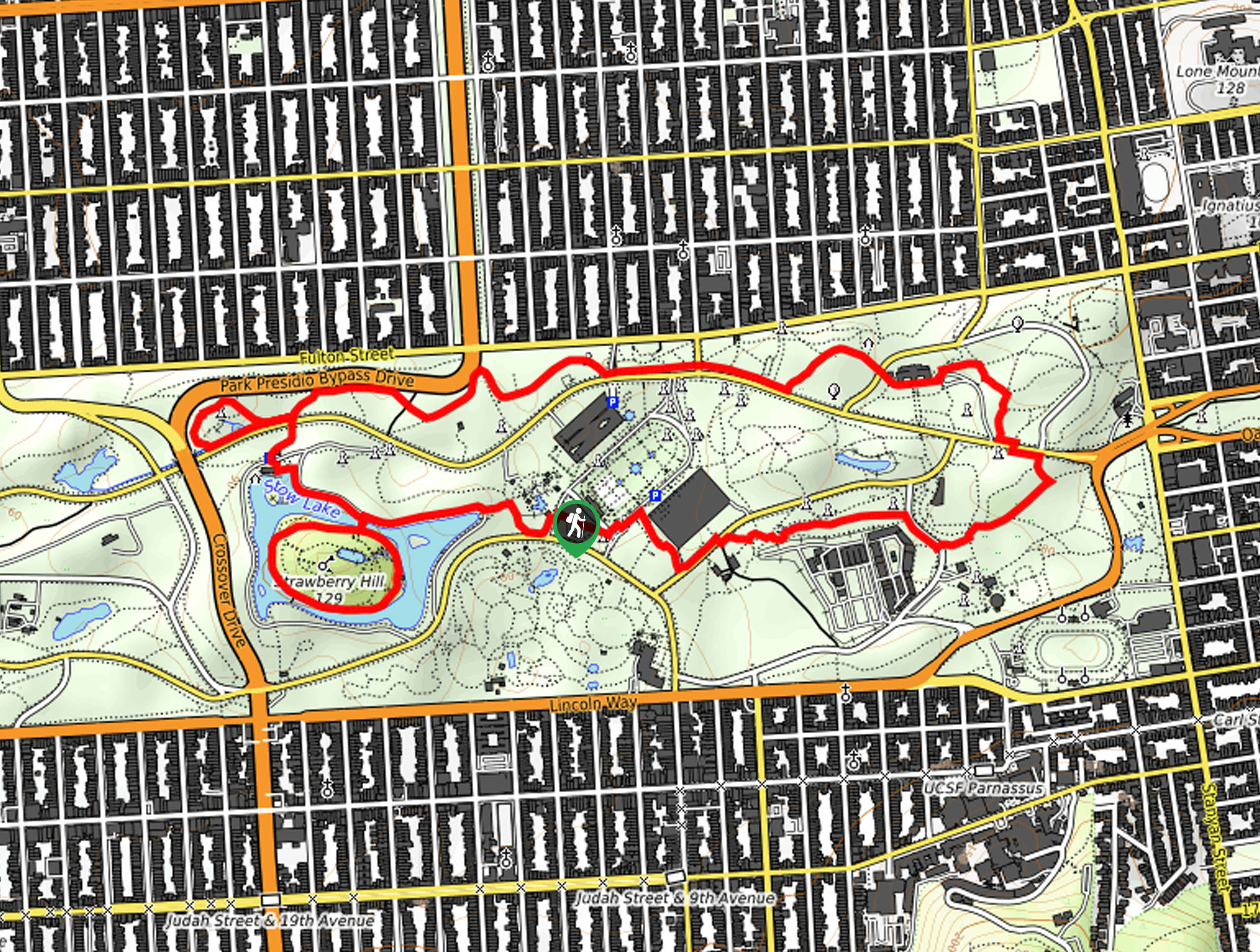
Hippie Hill and Stow Lake Loop Hike
The Hippie Hill and Stow Lake Loop Hike boasts a magical experience in the Golden Gate Park. Explore the city’s…
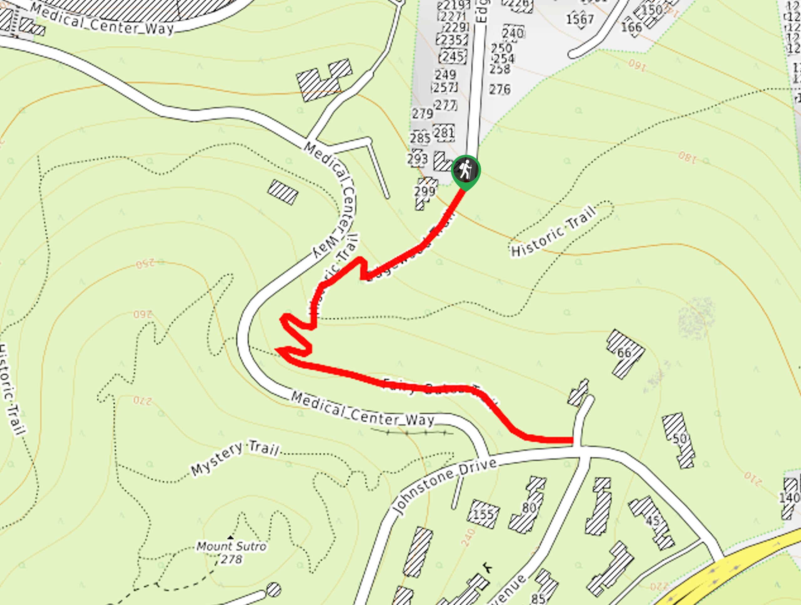
Fairy Gates Trail
The Rose Valley Falls Hike boasts an enchanting experience in San Francisco. Explore the Mount Sutro Open Space Reserve’s nook…


Comments