Alum Rock South Rim Trail
View Photos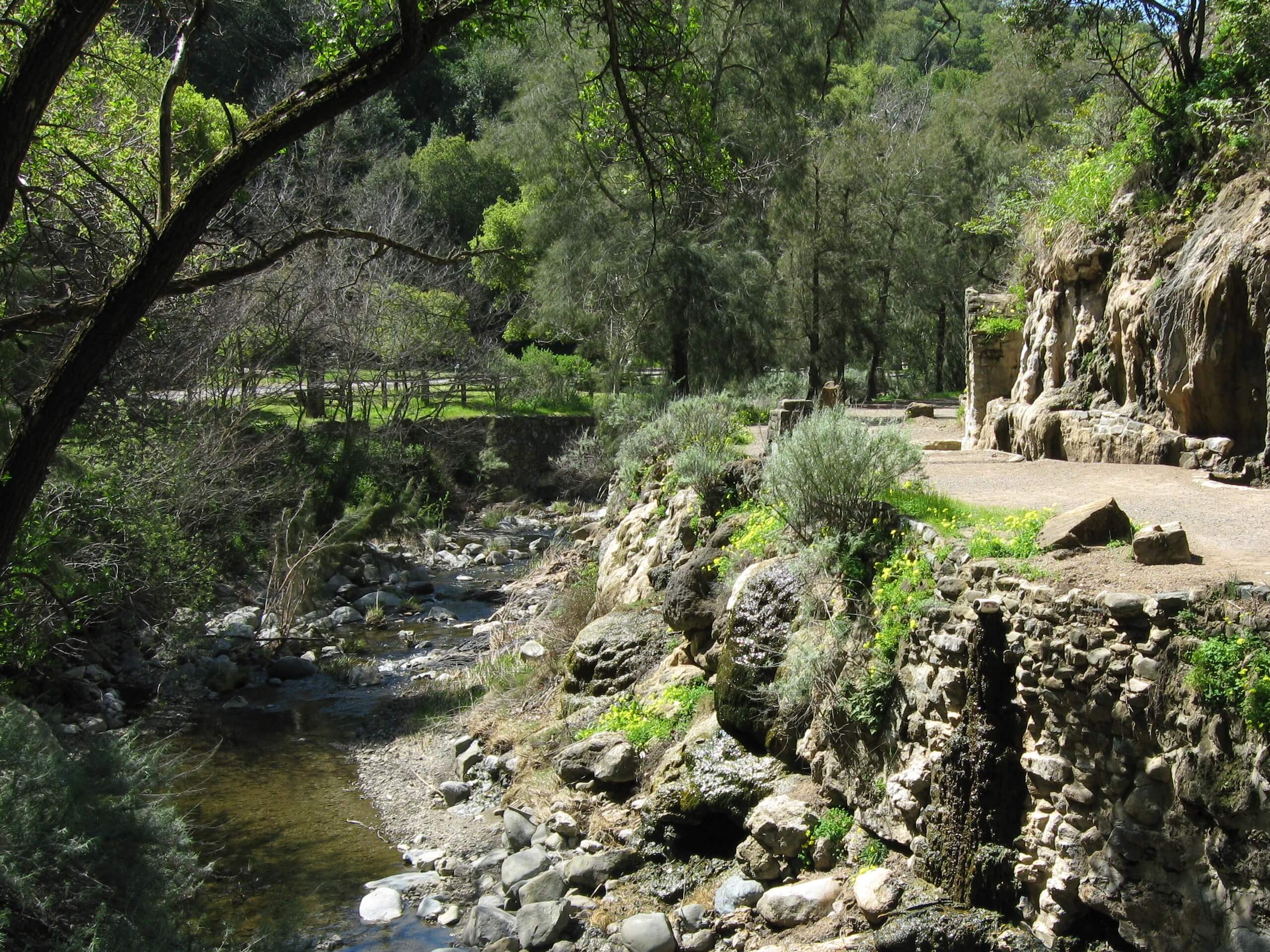
Alum Rock South Rim Trail
Difficulty Rating:
The Alum Rock South Rim Trail is an unassumingly beautiful adventure in the foothills of San José that boasts wonderful scenery. Explore the area’s diversity of flora and fauna while indulging in the unique geological features—such as natural hot springs, rock walls of layered strata, and sandstone outcrops.
Getting there
The Alum Rock South Rim Trail departs from the parking lot off Penitencia Creek Road.

About
| Backcountry Campground | No |
| When to do | Year-round |
| Pets allowed | No |
| Family friendly | Yes |
| Route Signage | Good |
| Crowd Levels | High |
| Route Type | Circuit |
Alum Rock South Rim Trail
Elevation Graph
Weather
Alum Rock South Rim Trail Description
The Alum Rock South Rim Trail is an amazing adventure well worth the detour into the foothills from San José. Explore the lush environment abundant with a variety of vegetation and plenty of wildlife. Adults and children alike can enjoy this wonderful trail—just be sure to pack plenty of water, as you’ll surely get your heart rate up! Due to the plethora of wildlife, dogs are not permitted along this trail. Additionally, it is important to be mindful of wildlife, such as mountain lions and rattlesnakes, and wear long pants to avoid exposure to poison oak and ticks! Note that there is a $6USD parking fee required.
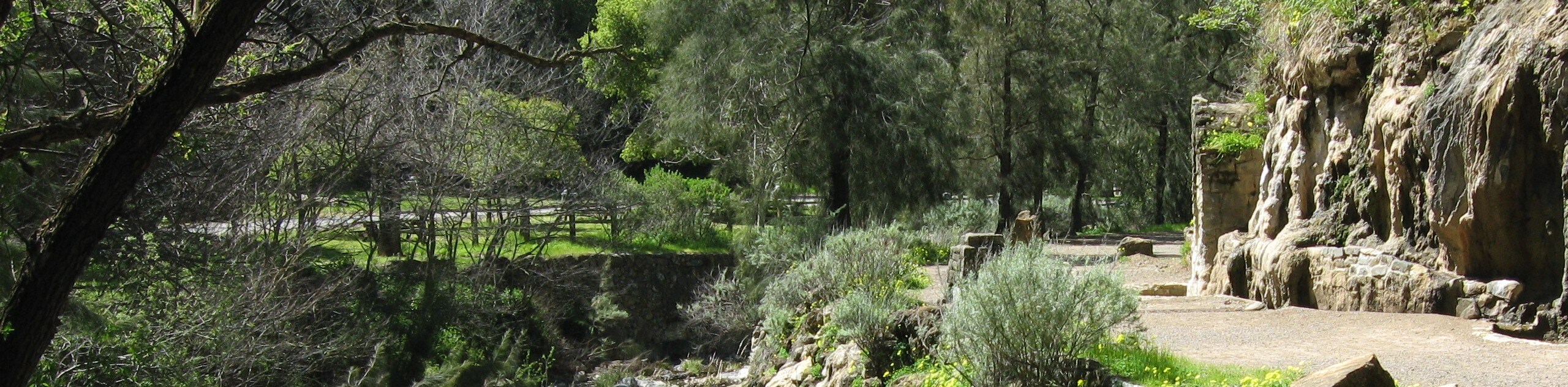
Explore California’s oldest municipal park along the Alum Rock South Rim Trail. Offering plenty of scenery, this stimulating hike will not disappoint. Enjoy the soothing sounds of the gurgling creeks, dip your hands in the hot springs and revel in the beauty of the prolific vegetation. On a clear day, explorers will be rewarded with mesmerizing vistas of the San José cityscape below. Though this route can be enjoyed year-round, springtime adventures are the best as the creek’s surges and the flora is lush! Those seeking a more tranquil experience are encouraged to head out in the morning to beat the crowds and the heat! If you are craving a longer trek, there are plenty of other routes within the park worth exploring.
Your journey along the Alum Rock South Rim Trail begins from the parking lot off Penitencia Creek Road. Setting out from here, wander east along the Penitencia Creek Road to the Mineral Spring Trailhead. Follow the Mineral Springs Loop along the Upper Penitencia Creek, turning right over the creek via the footbridge. After intersecting with the creek, veer left and you will be diverted onto the Penitencia Creek Trail, tracking north. Wander this route through the woodlands, past the sulfur-smelling hot springs, and along the beautiful creek that cascades over the smooth sandstone boulders. Enjoy the scene of the ferns and layered canyon walls that bound the water before merging onto the South Rim Trail.
The South Rim Trail will guide you up the steep mountainside via several tightly wound switchbacks. After maneuvering the winding terrain, you will reach an overlook that boasts incredible views of the neighboring Diablo Mountains and the city of San José. Now traveling southwestward, this path affords expansive panoramas of the lush valley from the exposed terrain. Be sure to keep your eyes peeled for wildlife as you wander. Ultimately the route will descend the mountainside via another set of switchbacks. At the junction, veer left onto the Woodland Trail. This section of the hike is shaded, guiding you through the verdant forestland abundant with lush undergrowth and wildflowers.
At the next intersection, turn right onto the Inspiration Point Trail. Follow the Inspiration Point Trail up to a scenic lookout over the rolling landscape. Revel in the beauty of the scene, then descend the trail, winding along the mountainside. Now traveling east, you will confront another juncture, turn left onto a connector trail, then right back onto the Penitencia Creek Trail. Hike this route through the meadowlands and past picnic areas and the Alum Rock Science and Nature Center, and over the creek back to the parking lot.
Frequently Asked Questions
When is the Alum Rock Park open?
The Alum Park Rock is open from Tuesday-Sunday from 8AM until sunset.
How long is the Alum Rock South Rim Trail?
The Alum Rock South Rim Trail is a 4.3mi hike near San José.
How much does it cost to hike the Alum Rock South Rim Trail?
The Alum Rock Park charges a parking fee of $6USD.
Are dogs permitted on the Alum Rock South Rim Trail?
No, dogs are not welcome on the Alum Rock South Rim Trail.
Insider Hints
Maintain on the worn path to avoid poison oak exposure
Be mindful of rattlesnakes and ticks as you explore
Pack plenty of water and stay hydrated along this hike
Wear SPF and sun protection on warm days
Similar hikes to the Alum Rock South Rim Trail hike
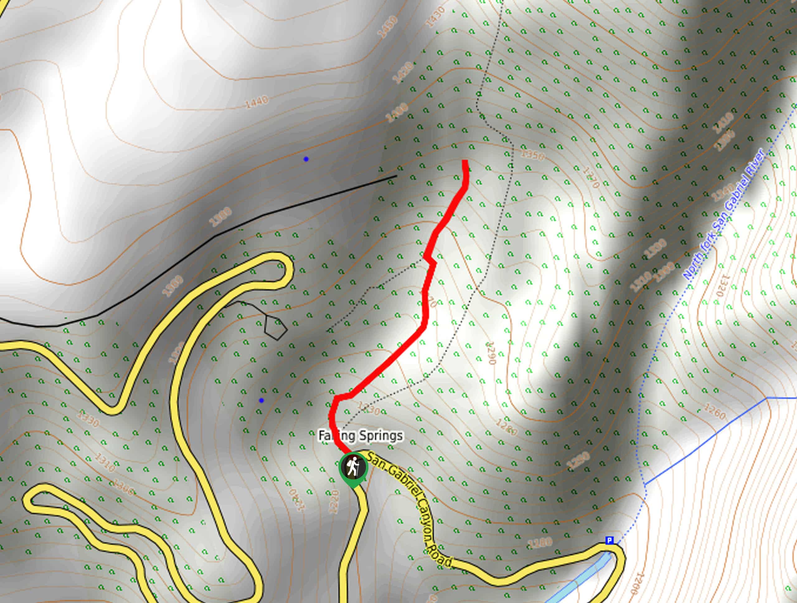
Bridge to Nowhere via East Fork Trail
The hike to the Bridge to Nowhere via East Fork Trail is a fun little adventure in the Angeles National…
Echo Mountain via Sam Merrill Trail
The Echo Mountain via Sam Merrill Trail is a beautifully scenic adventure in the Angeles National Forest of Southern California…
Lewis Falls Trail
Hiking the Lewis Falls Trail is a spectacular, if fairly short, adventure in the Angeles National Forest that will take…
Comments