

Mount Polejan hike
View PhotosMount Polejan hike
Difficulty Rating:
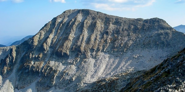
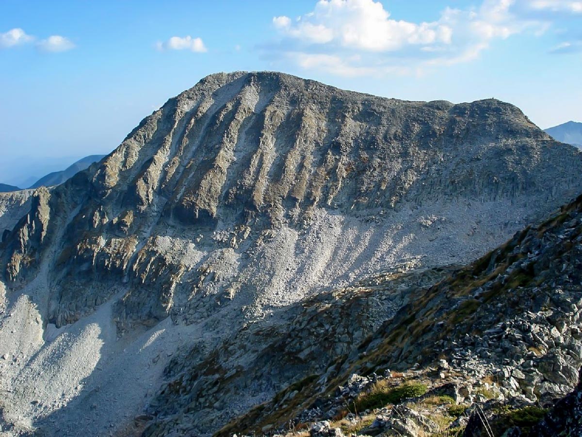
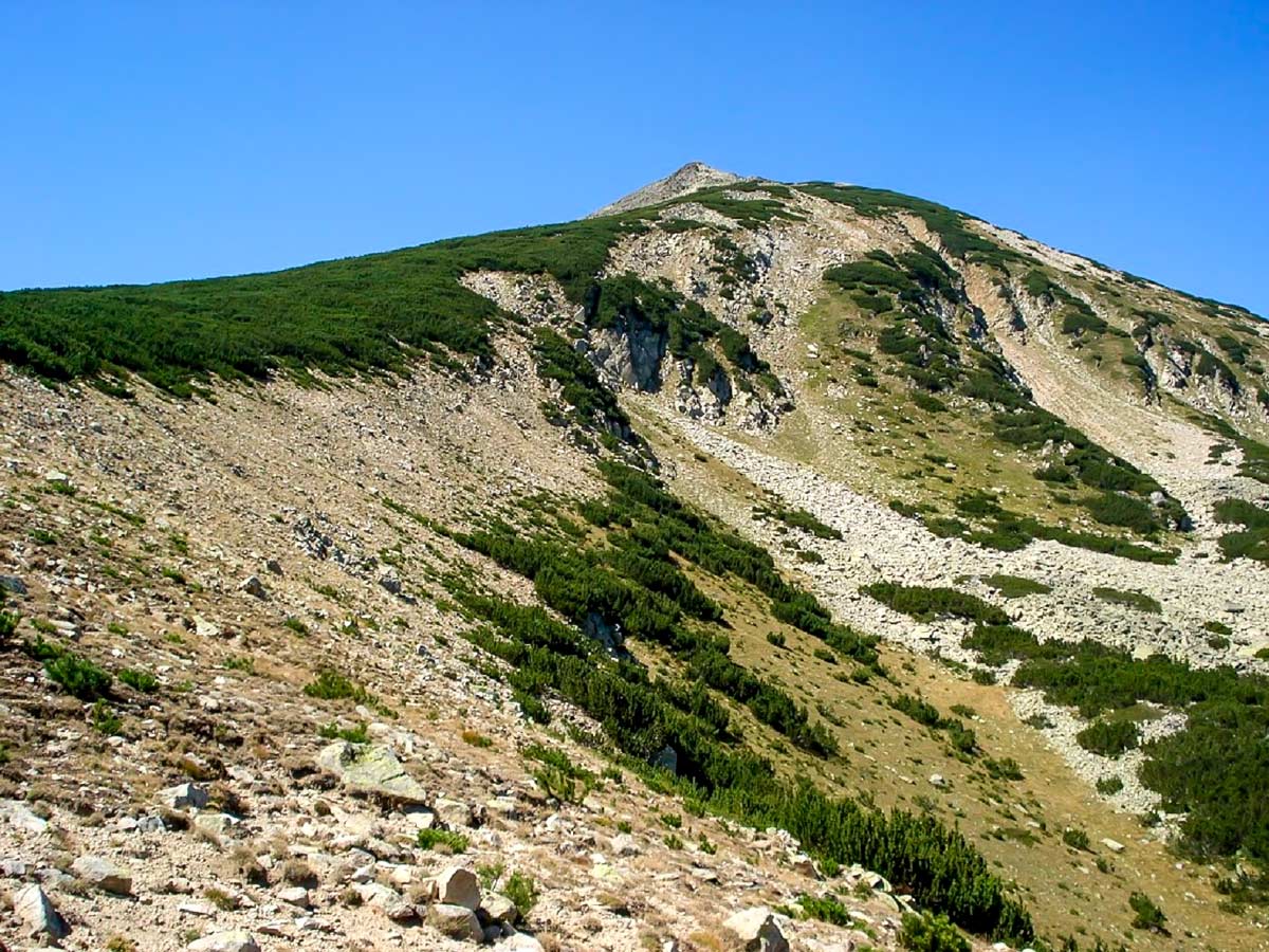
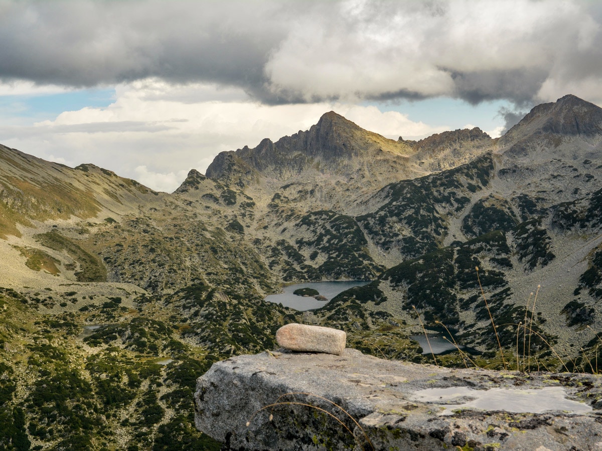
Polejan peak (also called Polezhan) might not be the highest in the Pirin Mountain Range, but it impresses with its almost perfect cone shape, rising above the surroundings. It is located in the northeast of the mountain, and with its 9354ft above the sea level, it is the highest summit of the granite part of Pirin. The ascent to the top is a fantastic hike, not only because of the unbelievable views and alpine terrain but also because it is quite easy and straightforward, making it suitable for beginners.
Getting there
Mount Polejan is located high above Dobrinishte, which is 100.0mi from Sofia, and just 3.1mi from Bansko ski resort. The town is reachable by a bus from Sofia, which goes 6-7 times per day. From Dobrinishte, travel 8.7mi by road to the Gotse Delchev hut. Note that you need to hire a car or take a taxi to get here. From the hut, take a chair lift going straight up to Bezbog hut. The hike begins here.
About
| When to do | June to September |
| Backcountry Campsites | No |
| Family friendly | Older Children only |
| Route Signage | Average |
| Crowd Levels | Low |
| Route Type | Out and back |
Mount Polejan
Elevation Graph
Weather
Route Description for Mount Polejan
The Mount Polejan hike is an excellent hike for beginners or those craving staggering vistas, but lack the desire to work hard for breathtaking views. This route may not be the most challenging, but it still has some steep parts.
The first stage of the hike begins at the Gotse Delchev hut, which sits at 4757ft above the sea level. The start of the start leads to the right of the lakeshore, twisting below the slopes of Mount Bezbog. Continue walking until you reach the saddle on the left ridge. After passing the lake, the hill starts getting steeper and steeper until you reach the saddle. The terrain is easy to navigate and grassy, and it takes less than 30 minutes to get from the hut to here. From the saddle (7776ft above the sea), one can enjoy the first views of some of the most impressive peaks of the northeastern side of Pirin.
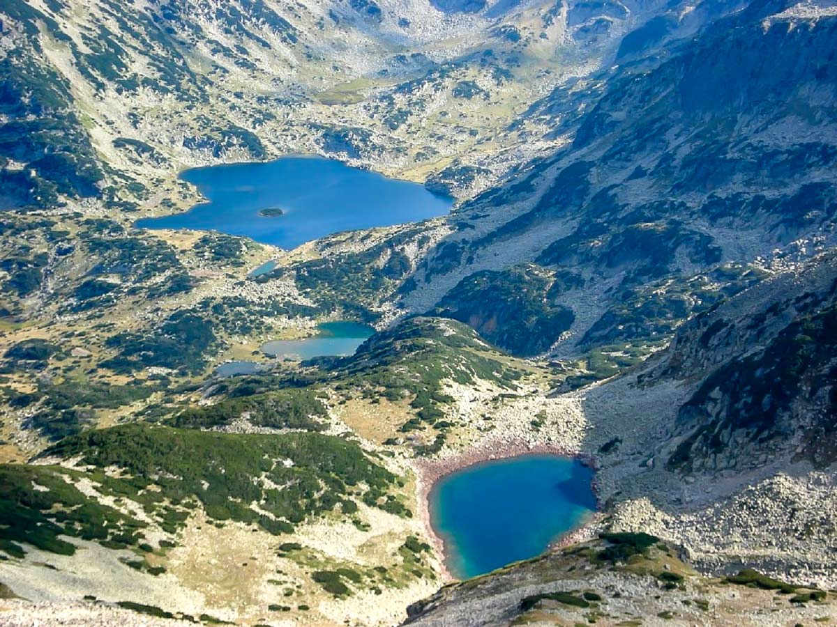
The second stage begins with a short section of the path that winds to the right (south) from the saddle and cuts through the slope above a deep valley to the left until it reaches an exposed area, where a steeper, 35-degree ascent begins. Even though this climb is relatively steep, the terrain here is very easy and not rocky. Several serpentines will guide you to a completely flat and very spacious area. This plateau is the col between Bezbog peak (8678ft above the sea) and Mount Polejan to the south. The altitude at the plateau rests at 8481ft above sea level. It takes another 45-55 minutes to get here. The most impressive view from here is of the summits and lakes of northwest Pirin.
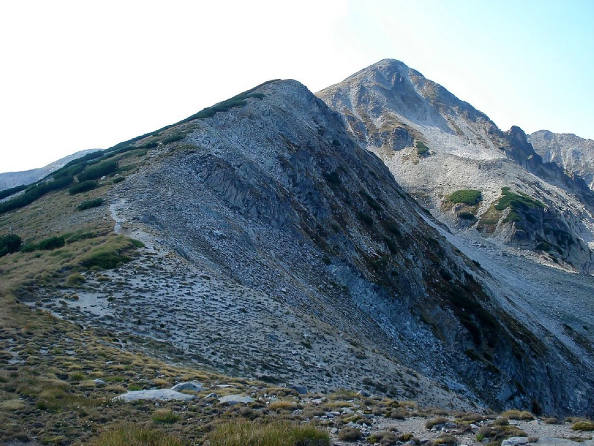
The third stage is the final climb of this hike. The ascent is very aesthetic, as it follows a beautifully shaped ridge straight up to the summit. The first half of the uphill to the Shoulder of Polejan is not steep and mainly grassy.
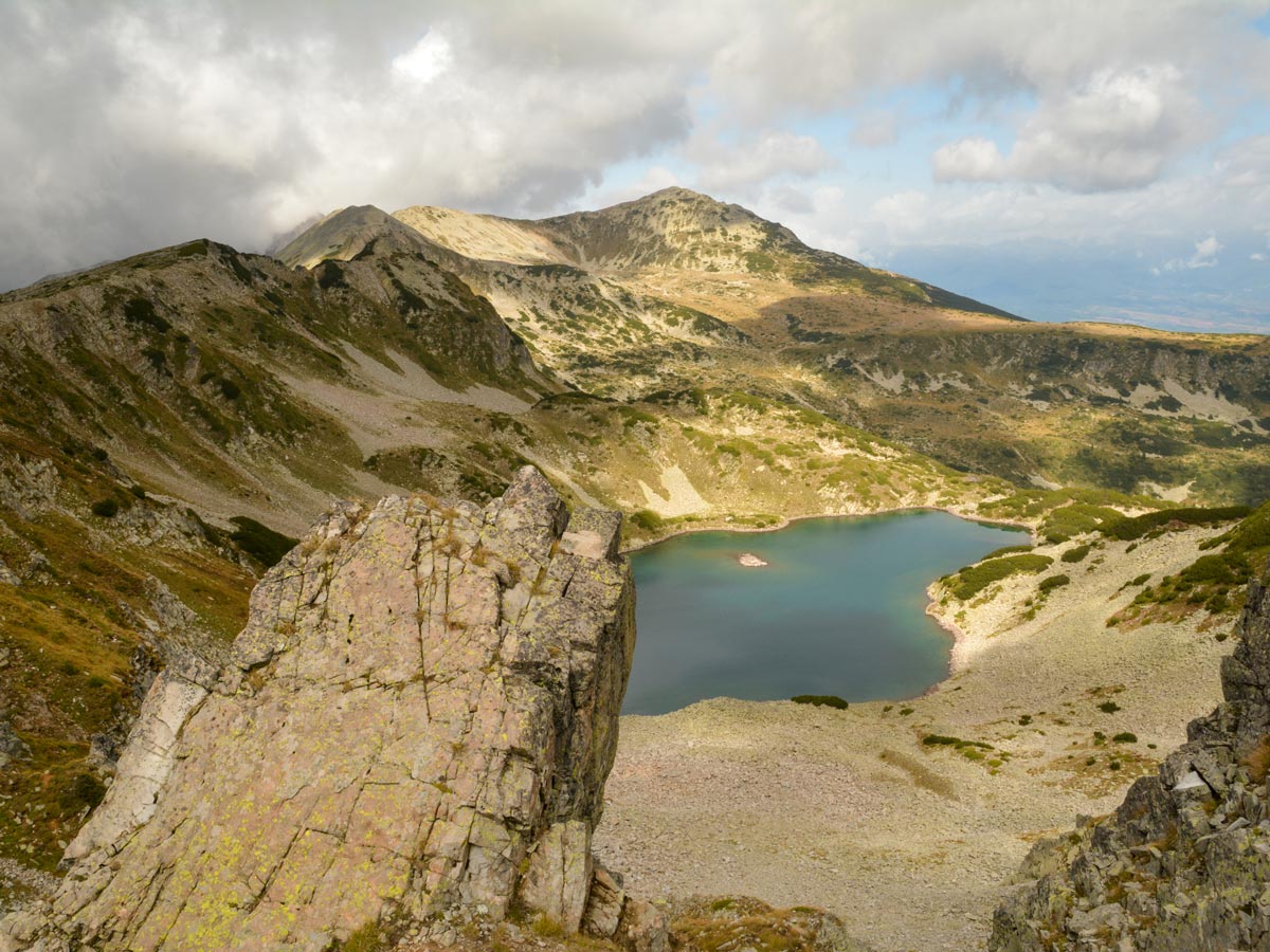
But the path eventually gets slightly steeper—up to 35-40 degrees—and the terrain becomes a bit stonier, but it never gets too challenging. The slopes to the left are very steep, so one has to be careful not to slip. You’ll notice the Bulgarian National Flag waving from the summit, after trekking for another hour. Many hikers consider this view to be the best in Bulgaria! Catch a glimpse of glacial lakes, the sprawling Dobrinishte valley, while the Rila, Pirin, and Rhodopes mountain ranges circle the backdrop.
It takes around 2.25-2.5 hours to get to the top. You’ll follow the same route you came on the way back, making the hike around 4.5-5 hours. If you want, you can always walk an extra 30 minutes to the Mount Bezbog summit.
Insider Hints
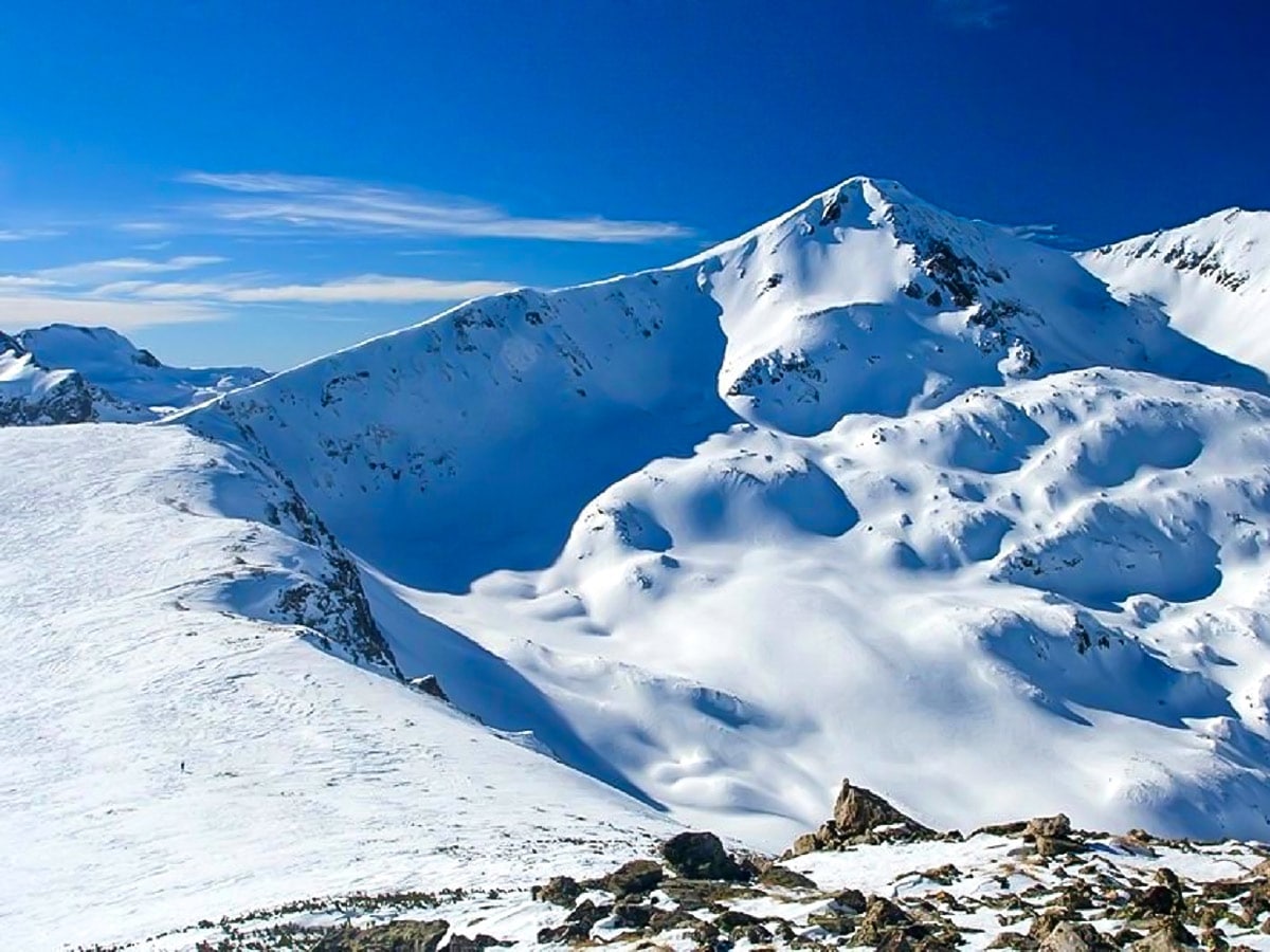
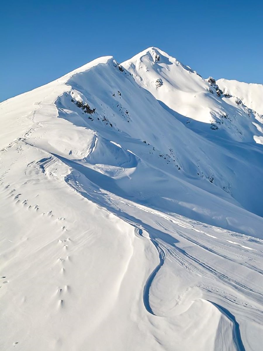
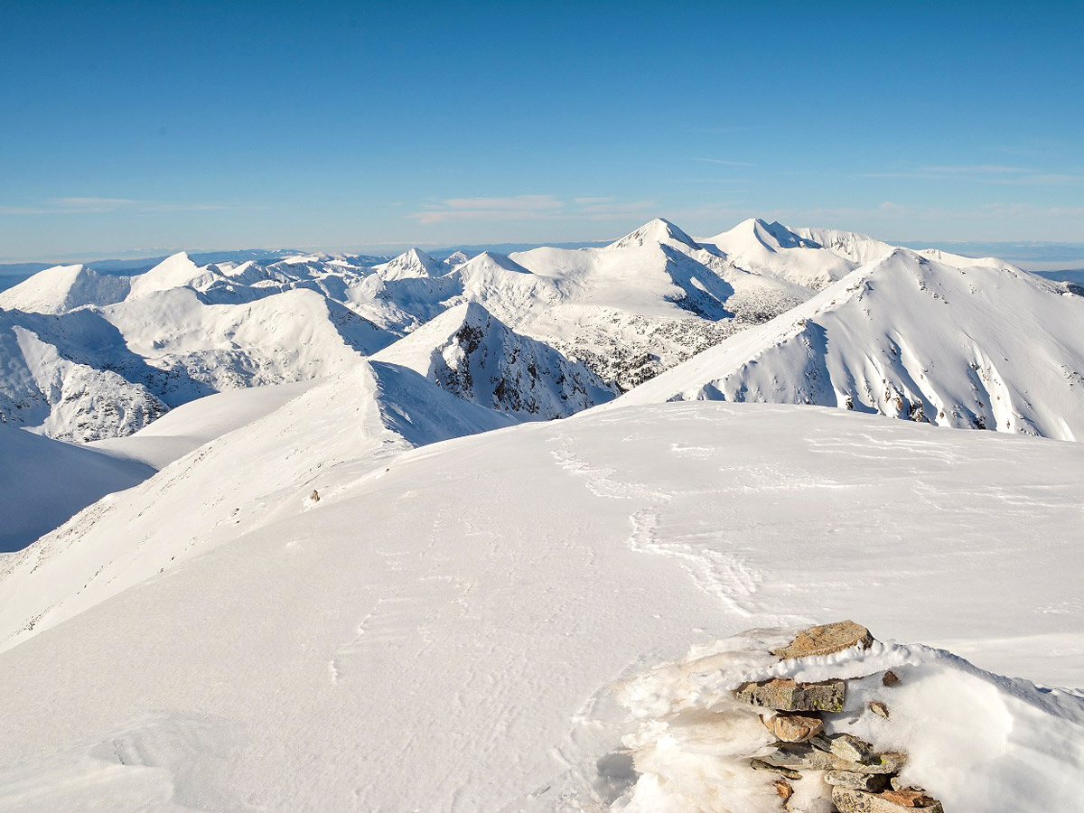
This hike is a very avalanche-safe route for a winter ascent. Still, Mount Polejan is not to be underestimated, in summer because of weather conditions, and in winter because of ice.
Bring and wear snowshoes, an avalanche transceiver, avalanche shovel & probe, crampons if you plan on doing this hike in winter.
The refuge—Gotse Delchev hut—at the start of the trek serves food and beverages.
When you reach the saddle at the beginning of the hike on the left ridge, be sure to go much farther to the left during winter to avoid the slopes of Mount Bezbog better.
Similar hikes to the Mount Polejan hike
Frog Lake
The Banderitsa and Demyanitsa valleys grant hikers the chance to meander amid one of the most popular and picturesque areas…
Kralev Dvor Peak
The most beautiful and alpine part of the Pirin range is its northern section, where hundreds of imposing peaks, lush…
Mount Vihren
This challenging 6.8mi hike eventually reaches Mount Vihren, which stands tall at 9561ft above sea level.…


Elijah Barnett 5 years ago
It was relatively easy with gradual inclinations as you get closer to the saddle.
Kathy R. 5 years ago
Marvelous views from the top. We had so much fun! Best to go early to catch the magic of new beginnings.
Julien L. 6 years ago
Nice terrain. Easy to navigate. Will definitely recommend it to anyone.
Annie Schmindt 6 years ago
This is definitely not your ordinary hike. The surroundings here are remarkable, almost unreal.
Malik Samosa 6 years ago
You can see the lakes in many spots. The natural setting alone was breathtaking in many ways. Depending on the wind it can be chilly.
Cocoah Medeza 6 years ago
Good hike. The terrain was nice and easy to navigate. I highly recommend it.
Elaine S. 6 years ago
In terms of difficulty, it doesn't require that much energy. However, I still do not recommend this hike for small kids and old people.
ramblerilly 6 years ago
Deceiving trail. Easy to begin with but eventually got more challenging towards the end. Best to wear microspikes and trekking poles for the sudden incline.
Bobbie K. 6 years ago
Exceptional trails. The trail was not that strenuous and it's great for beginners.
Melly Moon 6 years ago
Beautiful hike. Unbelievable scenery awaits at the top. It's moderately easy and not that confusing.