

Frog Lake hike
View PhotosFrog Lake hike
Difficulty Rating:
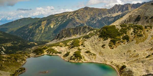
The Banderitsa and Demyanitsa valleys grant hikers the chance to meander amid one of the most popular and picturesque areas spanning the northern Pirin range. This Frog Lake hike between the two valleys unveils dramatic views of the entire Pirin range, from hundreds of pointed peaks, fantastic rock formations, and dozens of crystal-clear, deep blue, and ice-cold glacial lakes. It may be a one-way 16km route, but you’ll undoubtedly encounter a panoply of unforgettable vistas.
Getting there
This hike begins at the Vihren hut. You can reach the hut by car from May until November, but during winter, you have to start the walk from the Tomba ski run, which is about one hour before the hut. It may be too busy in August to take a car, so you may have to travel by shuttle bus to the starting point.
About
| When to do | June to September |
| Family friendly | Older Children only |
| Route Signage | Average |
| Crowd Levels | Low |
| Route Type | One Way |
Frog Lake
Elevation Graph
Weather
Route Description for Frog Lake
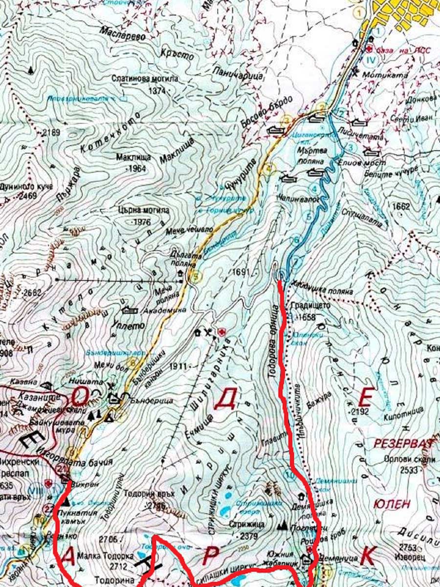
Before you begin this 9.9mi hike, be sure to plan your transport back to the starting point. It’s only a 5.6mi ride back to Bansko. You can also take a taxi!
The first stage of this hike follows the Banderitsa river along the bottom of the valley. Notice the red, white, and green paint on the rocks as you trek (during the summer). The path starts from the southern side of Vihren hut, goes down 25ft, and travels across the river on a solid wooden bridge. From here, the terrain is rocky but not steep at all. The area may be overgrown by pine bushes, but views will still emerge. After 20 minutes, the route blends into a completely flat, spectacular grassy section, surrounded by imposing summits. Look out for Mount Vihren towering over the land with its snow-white cliffs to the right.
Here, there is a path that goes to the left, leaving the main route for a 5-minute detour to the small but surprisingly beautiful lake “The Eye.” After the flat area, the first real ascent of the hike begins. In about an hour, the path climbs with serpentines along a series of “steps,” or hills, each about 100 feet high—the angle does not go higher than 30 degrees here.
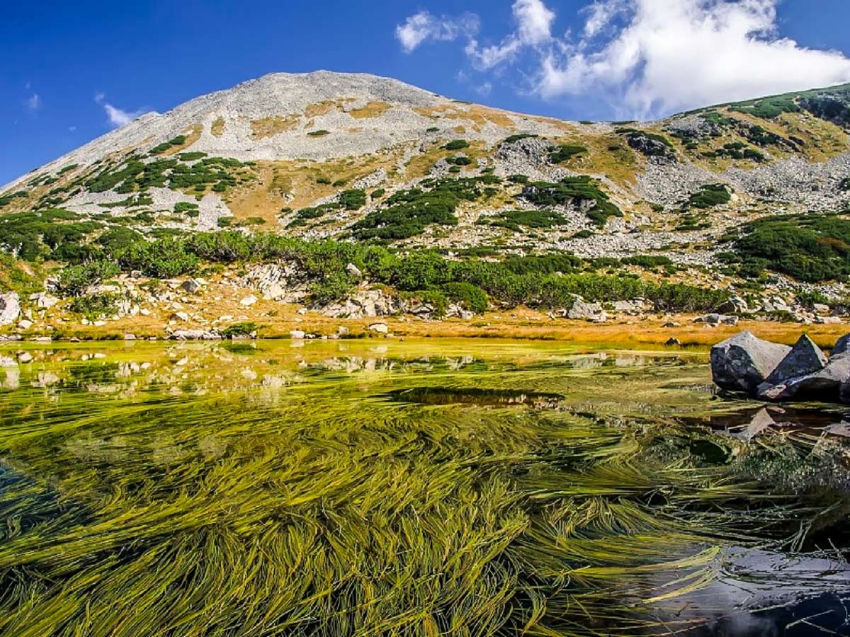
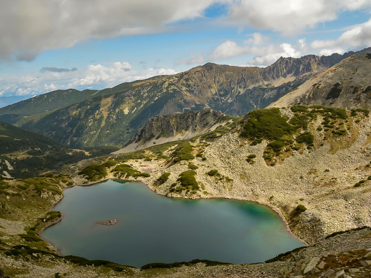
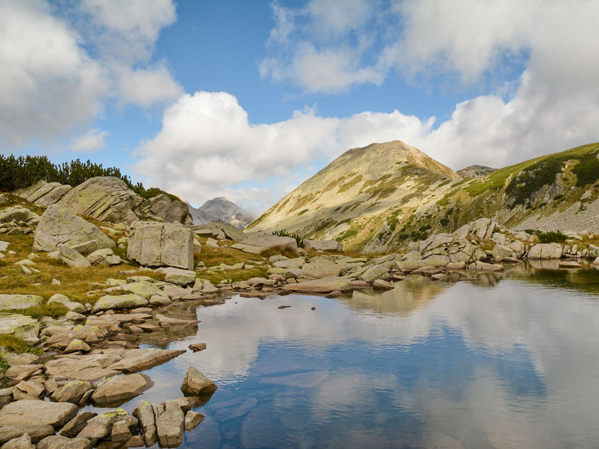
From the top of those hills, admire the fantastic view down to the right (west) of “Fish lake,” which is the largest lake within the Banderitsa group and one of the biggest in the entire Pirin range. At the end of this ascent, you’ll reach another flat area, with a broad yet very shallow lake: “Frog lake.” The altitude here is 7651ft above the sea, and it is at 1.5 hours from the starting point.
The second stage is more exhausting, not only because it is steeper but also more monotonous. This part has you climbing to Todorka pass. At the southern end of the Frog lake, it is evident that the red-marked path separates from the green one and continues south. The trail follows the green mark, which heads to the east and climbs the 850ft slope of the Small Todorka. The terrain here is easy, as you can avoid the steepest sections. The climb might be monotonous, but the views only improve the higher you climb.
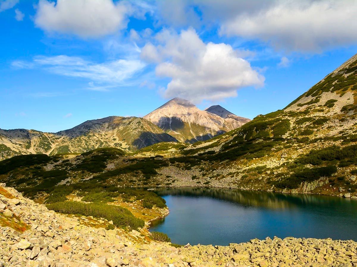
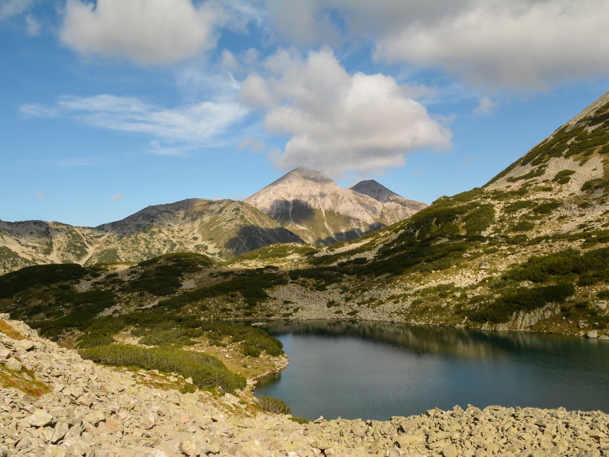
Look out for Spoon Lake, Long Lake, Green Lake, the two Muratovi lakes, and more. The final point of this stage is the Todorka saddle, sitting at 8530ft above sea level; this point on the ridge is the highest of the entire hike and the border between the two valleys. This ascent takes 1 hour.
The third stage begins with the descent down to the Demyanitsa valley. Note that the first part of that descent wanders to the left (north) of the very steep, almost vertical slope of the Todorka pass towards the valley. Even though this part may look scary, the path is quite broad and well protected. After 15 minutes, the area suddenly flattens and is covered in huge moraines. The route then goes through two fantastic lakes, called the “Todorka’s eyes.”
From the lakes, the trail turns right (east) and goes through flat meadows with short, steep descents in between. This is the famous Strijitsa plateau. At the bottom of it lies a beautiful cirque, which hosts several lakes. These lakes—the Vasilashko lakes—are seen during the entire descent so far. From the pass to the big lake, it takes 1.25 hours.
At the lakes, take a moment to admire the opposite side of the valley—the Polejan massive, and in particular, the imposing and raw Strajite (The Guardians) ridge.
The fourth stage of this journey carries you into the forest. The first 20 minutes are very gentle, and the forest here is not too dense. Still, the remaining 45 minutes resemble a bit steeper serpentines through easy terrain and old pine forests, all the way down to the bottom of Demyanitsa valley and the river with the same name. The hut also bears the same name and is located at 6217ft above the sea.
The final stage starts from the hut. Walk along a smooth path down a dirt road. Now, you’ll follow white-blue-white markings. The road follows the valley and the river down (north), and after around 30 minutes, it reaches the beautiful Demyanitsa meadow, where the remains of an old building sit. After the meadow, there is a shortcut that saves about 10 minutes of the road walk.
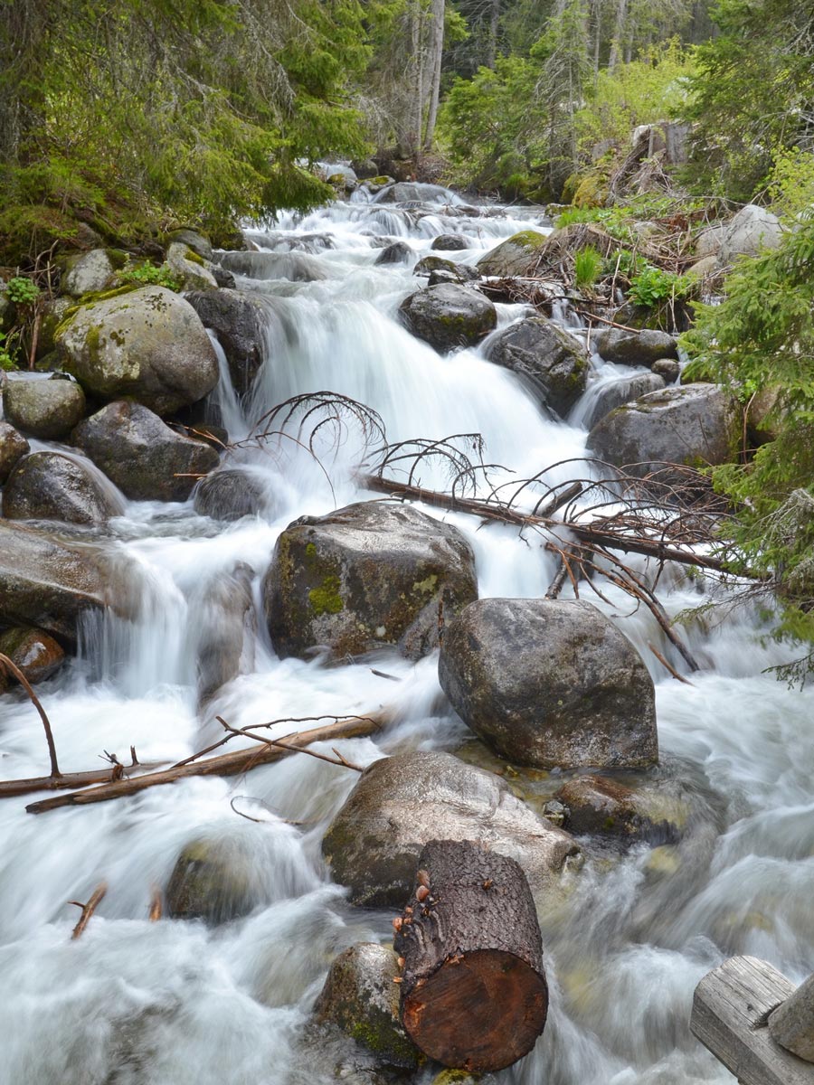
Further down the valley, there are two more places with shortcuts—always on the right side of the road. In total, you can save up to 30-40 minutes of the road walk – one can easily see where they drift away from the trail, thanks to the markings. Even though the trail is on a dirt road, the forest and the several waterfalls on the route make it a fantastic experience. This dirt road is not for cars, and it cannot be used for transportation, according to the Bulgarian Law of Environment Protection. Only members of the Mountain Rescue Squad, park rangers, or those bringing supplies to the huts can enter the area by vehicle.
Eventually, you’ll notice a small area surrounded by fences and barb wire—don’t enter here! Immediately after this fence, a low 40 cm curbstone appears on the left side of the road (to the right is the river). As strange as it sounds, you must walk atop this curbstone, or you’ll risk missing out on the path that drifts to the left. This path appears after around 5 minutes of walking on this curbstone. You might pass this turn if you stay on the road. Embark on a gentle ascent through the pines until you reach the road (with cars), which goes from Bansko to Vihren hut. It takes 1.5 hours to walk from the Demyanitsa hut to here. And it takes around 6.5-7 hours to complete the entire journey.
Insider Hints
You can buy snacks and beverages from the Vihren hut, but if you want a meal, you need to order it in advance. Opt to purchase food and drinks at the Demyanitsa hut, which sits a little over halfway into your trek. You also have to pre-order a hot meal for this hut.
Be prepared to pay for a taxi once you reach the final curve in the road—locals call this turn "Fisherman's turn" or organize another mode of transportation back to Bansko.
Similar hikes to the Frog Lake hike
Mount Polejan
Polejan peak (also called Polezhan) might not be the highest in the Pirin Mountain Range, but it impresses with its…
Kralev Dvor Peak
The most beautiful and alpine part of the Pirin range is its northern section, where hundreds of imposing peaks, lush…
Mount Vihren
This challenging 6.8mi hike eventually reaches Mount Vihren, which stands tall at 9561ft above sea level.…


Kathy R. 5 years ago
It's a magical hike in the Pirin. The last mile up to the lake was a smooth path down a dirt road, but as others have said, the lake and the views from the valley were fantastic!
Julien L. 6 years ago
The lake itself is absolutely gorgeous. We went further off the trail to get away from the water and find protection from the strong wind.
Annie Schmindt 6 years ago
Awe-inspiring scenery. After the final uphill, you'll be astonished beautiful Frog lake. It's too good to be forgotten.
Malik Samosa 6 years ago
It was an exciting hike. There was plenty of dramatic views and pleasant scenery to discover. There isn't much shade, so better apply some spf. Bring water.
Cocoah Medeza 6 years ago
The whole trail was well-marked. It's very easy to explore.
Elaine S. 6 years ago
The views of the stunning vistas, rock formations, and glacial lakes were unforgettable. I would do this hike again in a heartbeat if given the chance.
ramblerilly 6 years ago
Started at 7:30 am and saw not a single soul on the way up and then probably 3 on the way down. It was a fun and thrilling hike. Love the views from the beginning till the end.
Emiko Satoru 6 years ago
The trail was pretty easy in the beginning and then got progressively challenging at some point for me.
Bobbie K. 6 years ago
Started at 7:16 am and finished it before 2pm. The trail was quite long but I hardly even noticed
Melly Moon 6 years ago
In terms of trails, this one is amazing. The views were very interesting. I fell in love with the unique glacial lakes. They look so magical.