

Summit Lake and Buckhorn Summit Trail
View PhotosSummit Lake and Buckhorn Summit Trail
Difficulty Rating:
Immerse yourself in the Salmon River Mountains on the Summit Lake and Buckhorn Summit Trail. Warranting spellbinding alpine scenery, you’ll want to bring your camera for this hike! Don’t forget plenty of water, this high-country hike will get your heart rate up!
Getting there
Access this hike from Boulder Lake Road.
About
| Backcountry Campground | Backcountry Camping |
| When to do | May-September |
| Pets allowed | Yes - On Leash |
| Family friendly | Older Children only |
| Route Signage | Average |
| Crowd Levels | Moderate |
| Route Type | Out and back |
Summit Lake and Buckhorn Summit Trail
Elevation Graph
Weather
Summit Lake and Buckhorn Summit Trail Description
Yielding unrivaled scenery and a diversity of flora and fauna, the Summit Lake and Buckhorn Summit Trail packs a punch! While the terrain is manageable along this beautiful hike, the elevation gain is significant, so this route is ideal for intermediate hikers and families with older children! Make sure to bring along a water filter or plenty of water to stay hydrated and dress in layers. Note: the mosquitos are relentless, so bug spray is a must! Though not necessary, the trail GPS may prove useful when navigating overgrown and unmarked sections of the hike.
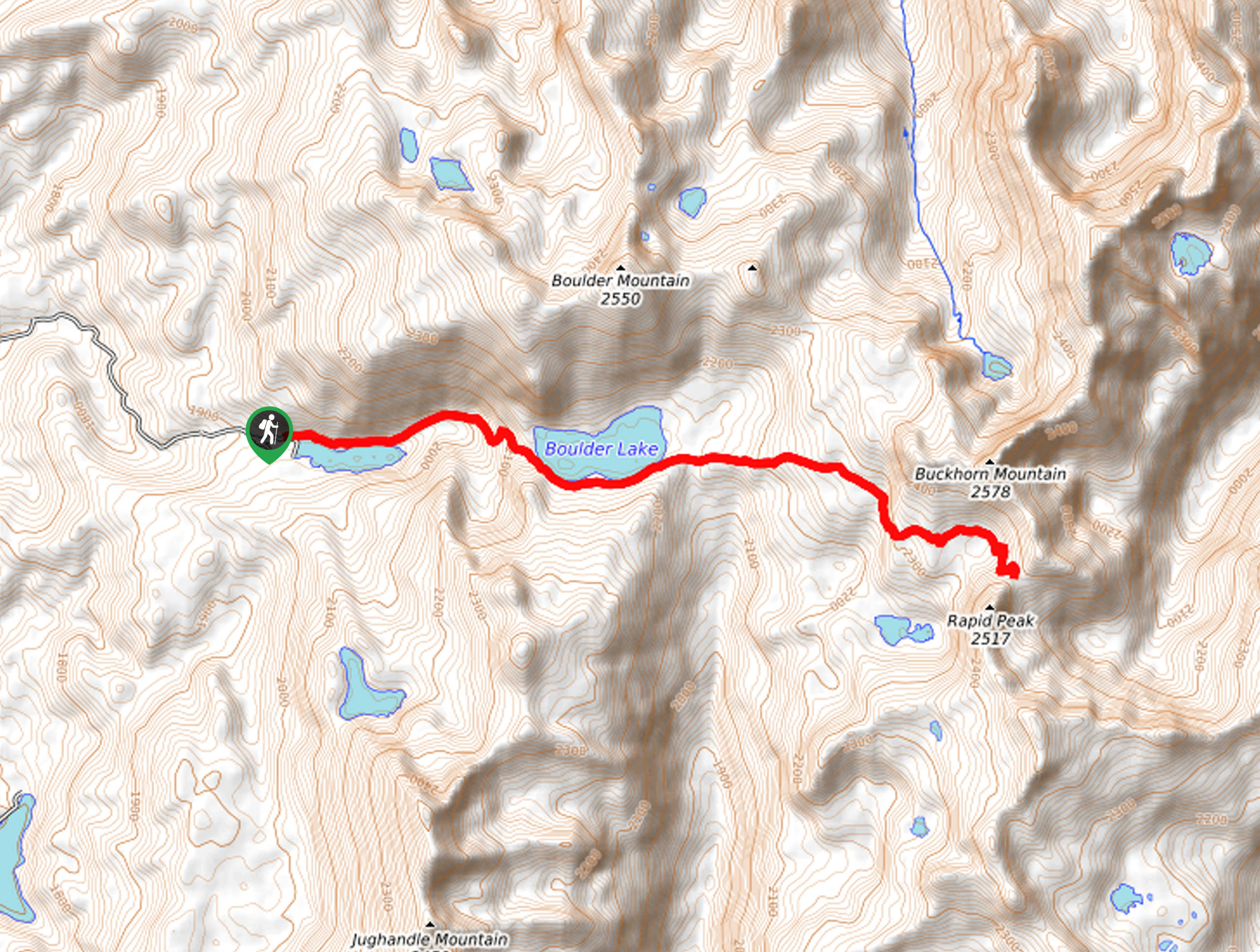
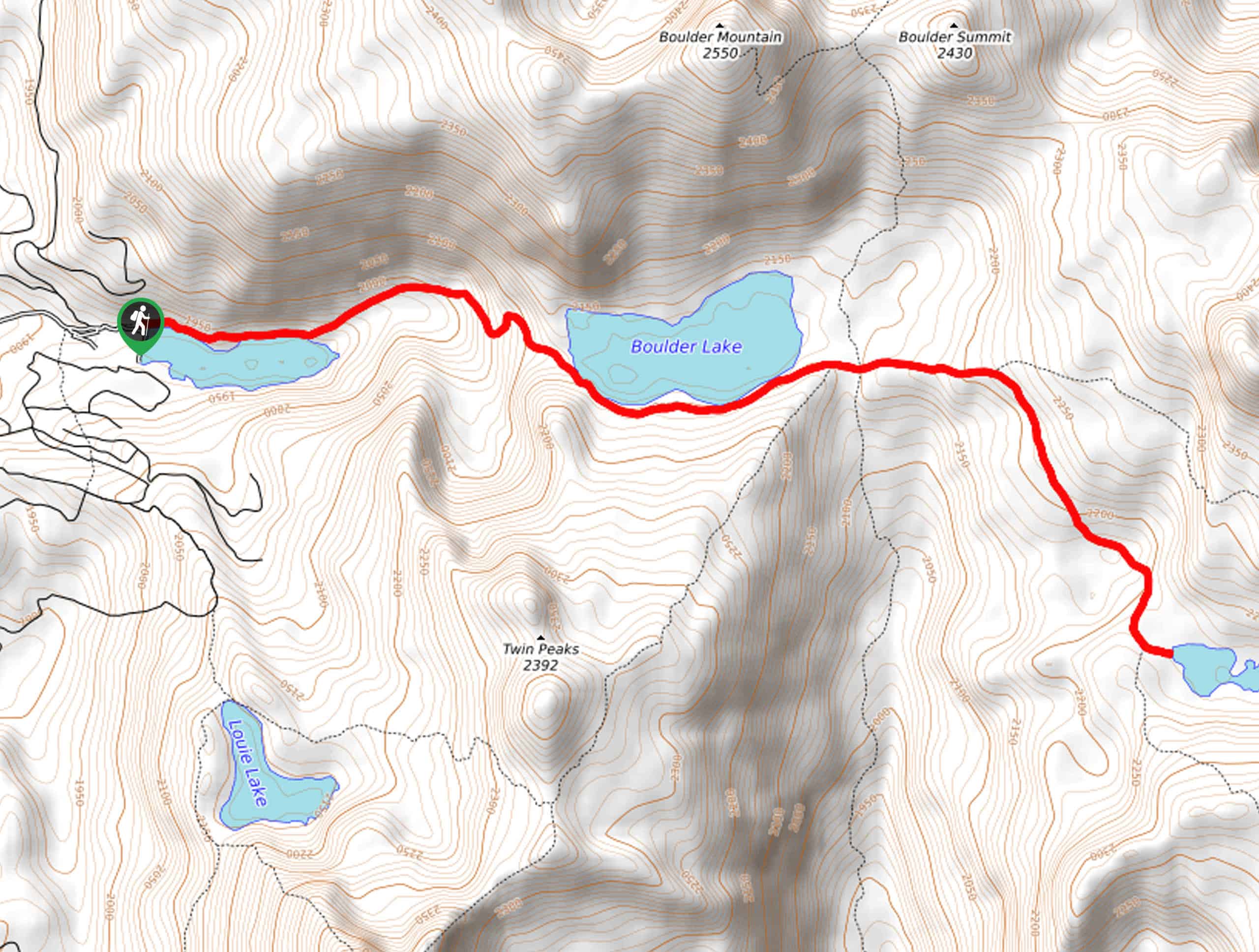
Embark on your adventure from the trailhead off Boulder Lake Road. Take the leftmost trail along the north shore of Boulder Meadows Reservoir. Leaving the wooded shoreline, you will progress up a rocky ridge to Boulder Lake. From here, you will wander along the southern shore of the alpine lake framed by the ridges of Boulder Mountain and the Twin Peaks. Entering a meadowland, you will soon confront an intersection and take the Kennally Creek Pack Trail. Hike west, and at the subsequent intersection, veer left and begin the final push up to Buckhorn Summit.
Mind your footing on the vertiginous terrain and revel in the beauty and grandeur of the mountainous landscape that surrounds you from the shoreline of Summit Lake. Marvel at the scenes of the lakes and lush forestlands below, then head back down the path the way you came to the trailhead.
Similar hikes to the Summit Lake and Buckhorn Summit Trail hike

Hard Creek Falls Hike
The Hard Creek Falls Hike would make a great addition to anyone's Payette National Forest hiking itinerary. This lovely route…

Rapid Lake Trail
Discover the beauty of Idaho’s high country on the Rapid Lake Trail. This beautiful adventure explores a myriad of shimmering…

Bear Basin Grand Traverse Loop Hike
The Bear Basin Grand Traverse Loop Hike is a wonderful adventure found within the network of trails in the Bear…


Comments