

Blackwell Lake via Fall Creek and Crestline Trails
View PhotosBlackwell Lake via Fall Creek and Crestline Trails
Difficulty Rating:
The Blackwell Lake via Fall Creek and Crestline Trails is an amazing high-country adventure near McCall, ID. Warranting breathtaking views of montane meadows, crystalline lakes, dense woodlands, and soaring crests, the scenery along this trek is worth the sweat.
Getting there
The Blackwell Lake via Fall Creek and Crestline Trails departs from the trailhead off Lick Creek Road.
About
| Backcountry Campground | Backcountry Camping |
| When to do | May-October |
| Pets allowed | Yes - On Leash |
| Family friendly | Older Children only |
| Route Signage | Average |
| Crowd Levels | Moderate |
| Route Type | Out and back |
Blackwell Lake via Fall Creek and Crestline Trails
Elevation Graph
Weather
Blackwell Lake via Fall Creek and Crestline Trails Description
Hiking the Blackwell Lake via Fall Creek and Crestline Trails makes for an unforgettable experience. This beautiful adventure into Idaho’s high country is versatile and popular amongst hikers and mountain bikers alike. Explore lush montane meadows and woodlands bisected by meandering creeks and adorned with crystalline lakes. While there are stands of tree shade, most of the route is exposed, so make sure you check the forecast and dress accordingly. Although the trail is open and accessible year-round, winter markings are sparse, and the snow-capped terrain is difficult to navigate, so off-season exploration is not recommended.
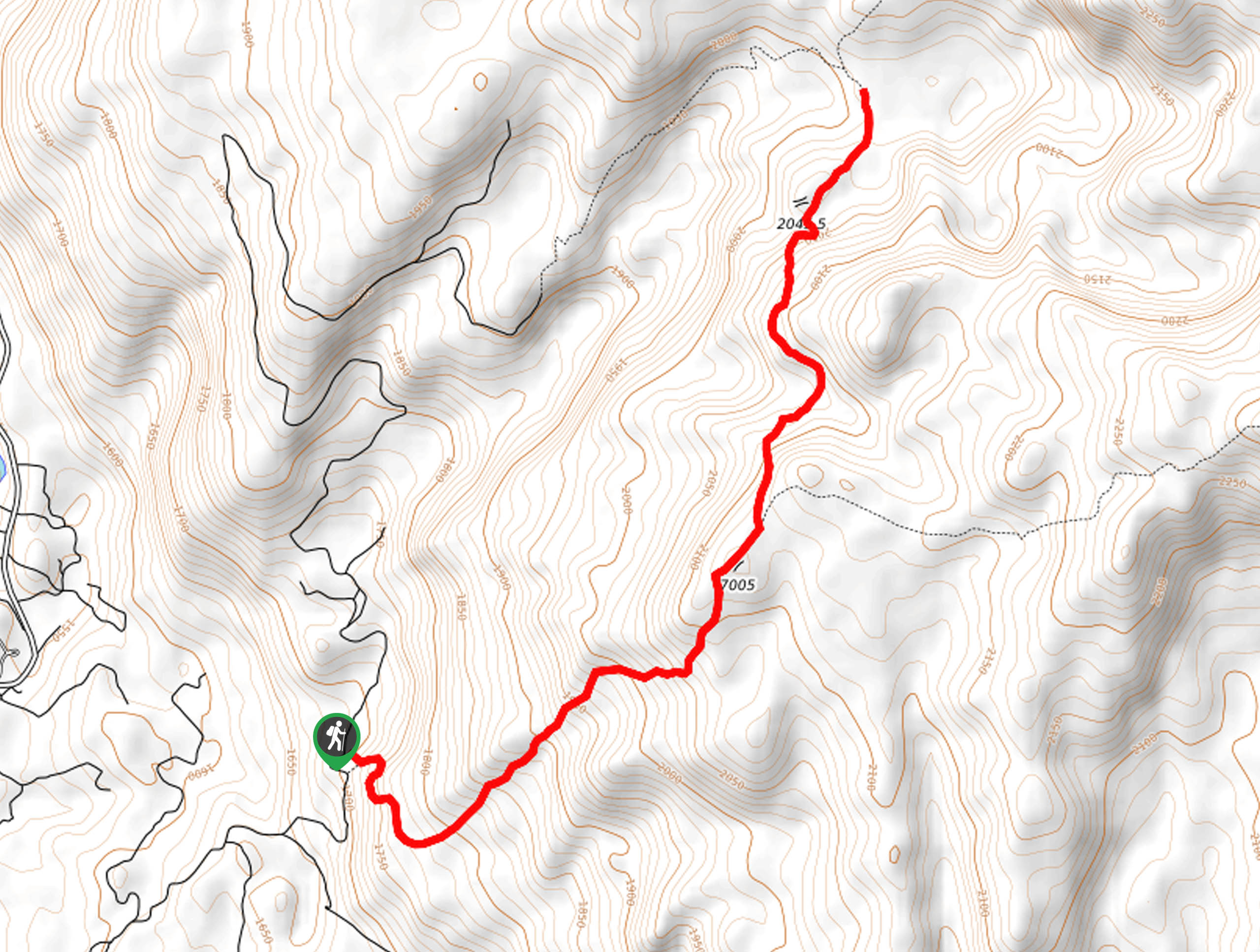
Setting out from the trailhead off Lick Creek Road, the Blackwell Lake via Fall Creek and Crestline Trails follows the Fall Creek Saddle Trail 108 into the wilderness. Navigating what seems like a never-ending set of switchbacks, this route will deliver you to an overlook of Pilgrim Cove and Payette Lake. Here you will confront an intersection, keep left, and you will be diverted onto the Crestline Trail 109. Beyond this point, the terrain is mostly unshaded, offering incredible views of Idaho’s mountainous landscape.
After some hiking along the Crestline Trail, you will reach Blackwell Lake. Enjoy the scene of the vegetation-ringed lake and bounding granite bluffs. When you are through reveling in the postcard-perfect panorama, retrace your steps back down to the trailhead.
Similar hikes to the Blackwell Lake via Fall Creek and Crestline Trails hike

Hard Creek Falls Hike
The Hard Creek Falls Hike would make a great addition to anyone's Payette National Forest hiking itinerary. This lovely route…

Rapid Lake Trail
Discover the beauty of Idaho’s high country on the Rapid Lake Trail. This beautiful adventure explores a myriad of shimmering…

Bear Basin Grand Traverse Loop Hike
The Bear Basin Grand Traverse Loop Hike is a wonderful adventure found within the network of trails in the Bear…


Comments