
West Elwha River Trail
View Photos
West Elwha River Trail
Difficulty Rating:
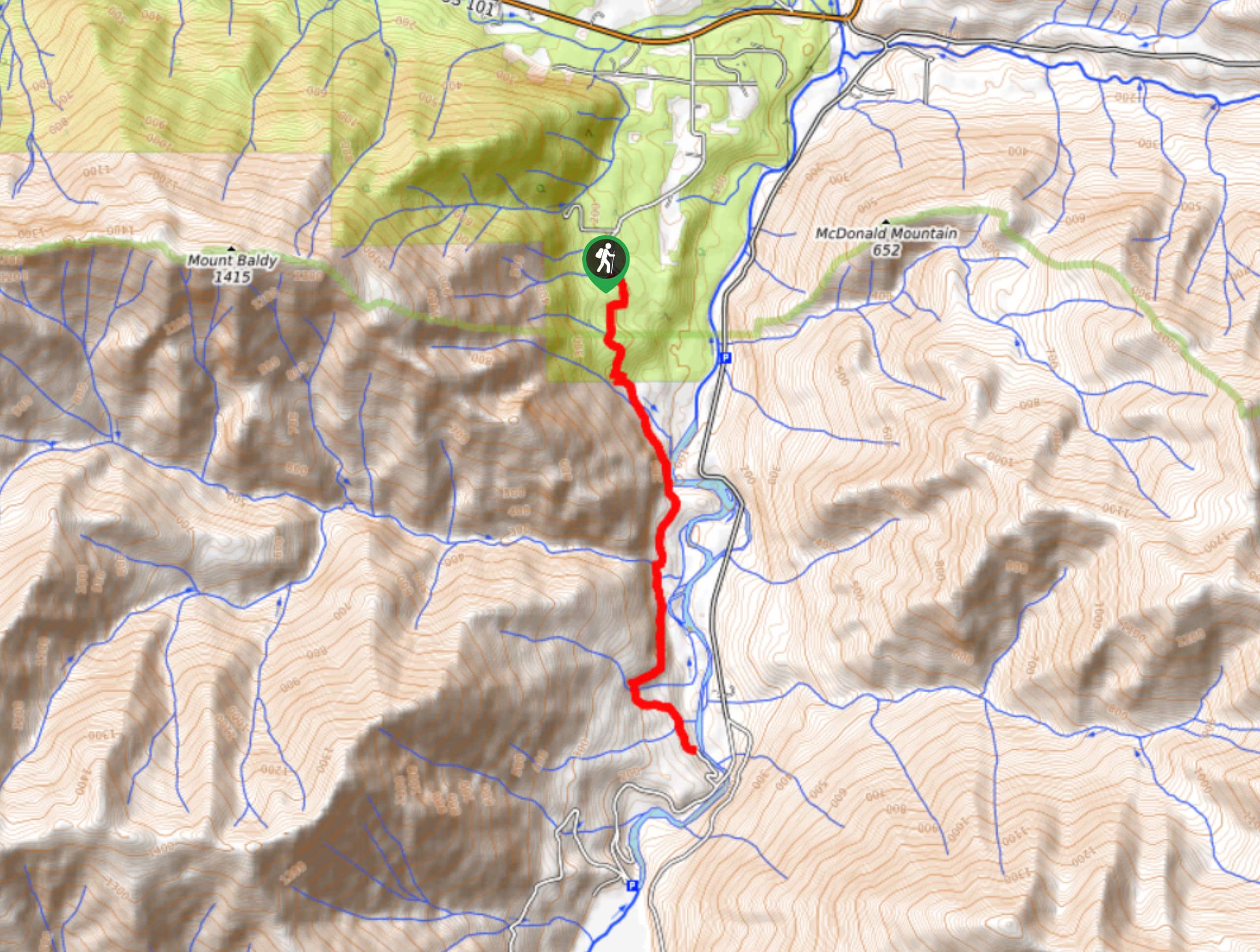
The West Elwha River Trail is a lovely moderate walk alongside the river to the Altair Campground and back. This hike used to begin from the Olympic Hot Springs Road, but a severe washout has closed the road indefinitely. This guide uses the access at Herrick Road as the starting and ending point for the hike, making Altair Campground your turnaround point.
Beginners and active children will be able to enjoy this trail.
Getting there
The trailhead for the West Elwha River Trail is on Herrick Road near the intersection with Wapiti Way.

About
| Backcountry Campground | Altair Campground |
| When to do | June-October |
| Pets allowed | No |
| Family friendly | Yes |
| Route Signage | Average |
| Crowd Levels | High |
| Route Type | Out and back |
West Elwha River Trail
Elevation Graph
Weather
West Elwha River Trail Description
The West Elwha River Trail is a beautiful moderate hike along the river that is suitable for most hikers and ages. Note that the Elwha area is currently closed to vehicle traffic beyond the Madison Falls parking lot at the park boundary due to severe road washout. The Olympic Hot Springs Road is open to bicycle/pedestrian traffic beyond the Madison Falls parking lot, but this trail is now best accessed from the opposite side on Herrick Road. For more information, please check with the National Park Service.
Begin on Herrick Road at the new trailhead. You’ll begin by walking along private property, but you’ll soon dive into thick ferns and dense forest, which is fabulous. Watch for downed trees in the forest that may require a bit of climbing to get around.
Walk alongside the river, taking care on any slippery and muddy sections of trail. While there is no direct river access from the campground site, you can explore further in this area quite easily. If this is your objective, turn around and retrace your steps back to the parking area
Similar hikes to the West Elwha River Trail hike
Humes Ranch Loop Trail
Humes Ranch Loop Trail is a heavily trafficked loop hike in Olympic National Park. This trail is very beautiful and…
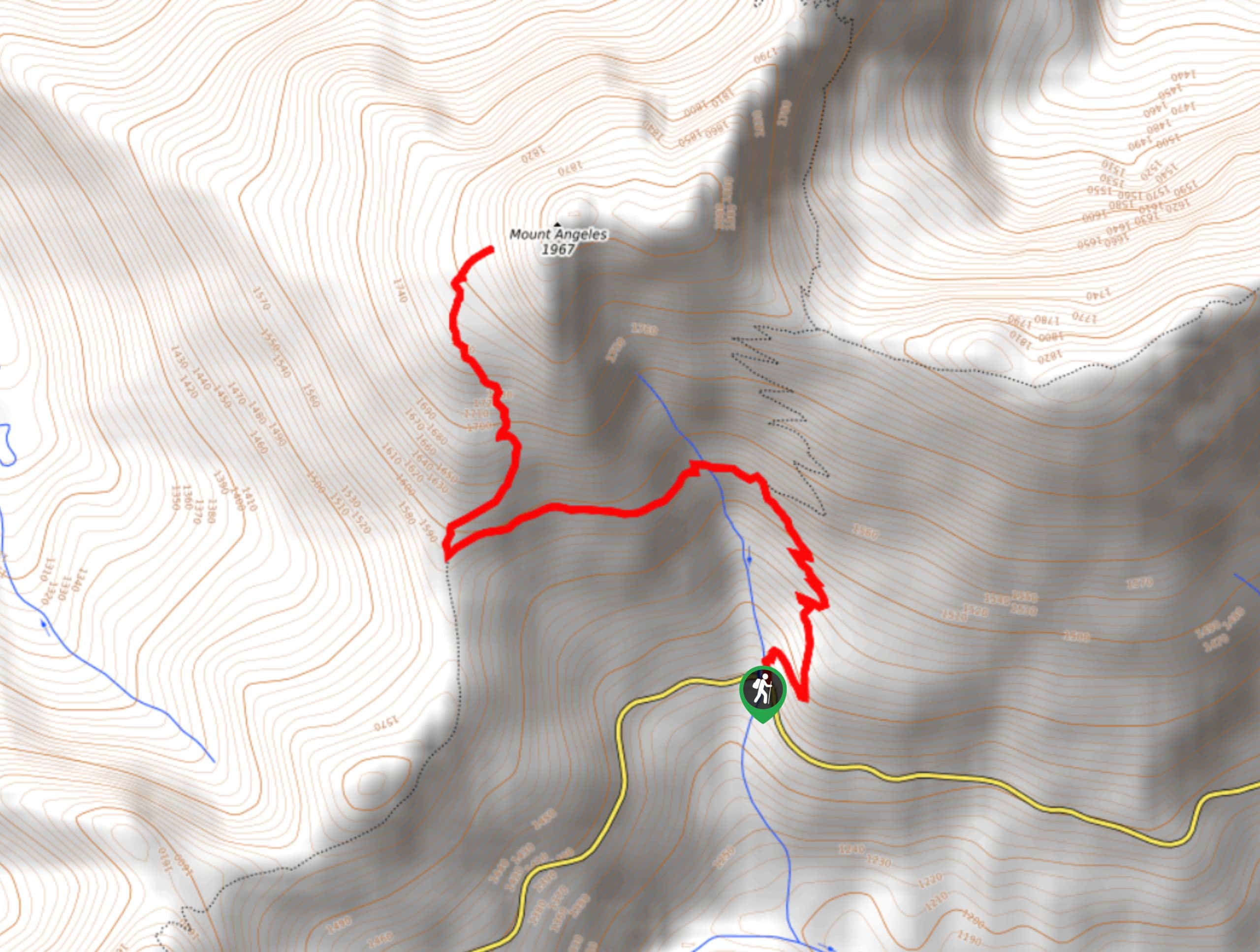
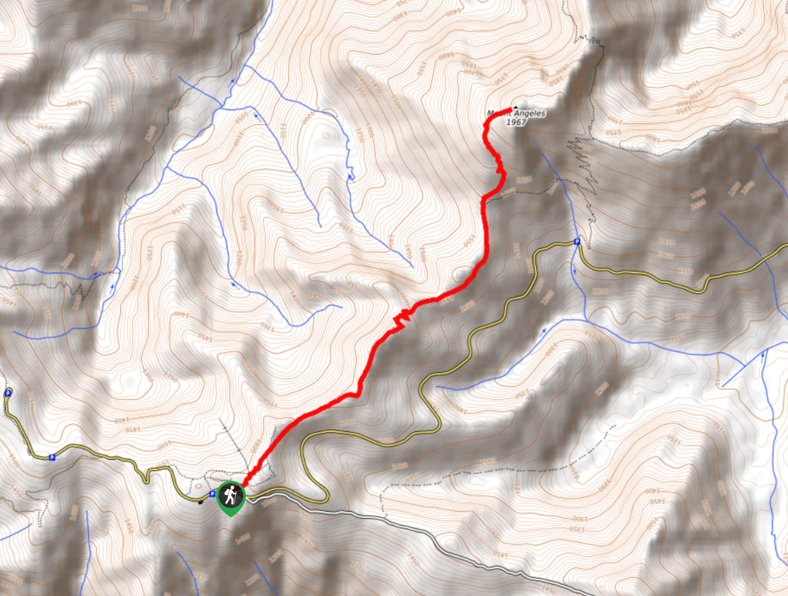
Mount Angeles via Switchback Trail
Mount Angeles via Switchback Trail is an exciting hike that starts out more gradual before ending with a fairly demanding…
Mount Angeles via Sunrise Ridge Trail
Mount Angeles via Sunrise Ridge Trail is a challenging hike that starts out more forgiving before ending with a demanding…
Comments