


Royal Basin hike
View PhotosRoyal Basin hike
Difficulty Rating:
This is an absolutely stunning hike, following Royal Creek up to the heavenly Royal Basin. Since this hike begins in the Olympic National Forest, and not the park, the crowds on this trail are greatly diminished. It is a challenging hike, but it’s well worth the work.
Getting there
The trail begins from the Upper Dungeness Trailhead. From Port Angeles head east on US-101 17.4mi. Right on Palo Alto Rd, 8.0mi. Veer right at a Y junction to NF-2880, go 1.6mi. Pass the Dungeness Forks Campground. At the Y junction hang a left. Turn right on NF-2870. Drive 6.5mi to reach the Trailhead.
About
| When to do | Late June through September |
| Backcountry Campsites | Yes, along the trail. Check Port Angeles visitor centre. |
| Toilets | No |
| Family friendly | No |
| Route Signage | Average |
| Crowd Levels | Low |
| Route Type | Out and back |
Royal Basin
Elevation Graph
Weather
Route Description for Royal Basin
From the parking area head up along the Upper Dungeness Trail. You will start to gain elevation immediately as you follow the Dungeness River for approximately 1.3mi.
You will arrive at the point where the Royal Creek feeds into the Dungeness River. Hang a right, following signs to the Royal Basin. Do NOT cross the river on the log bridge.
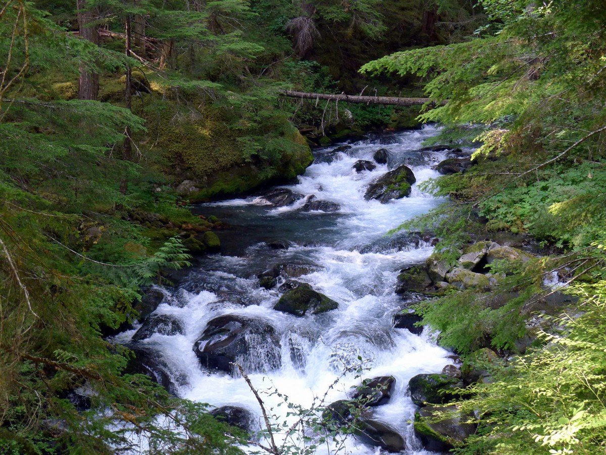
You will switchback up for a period of time, before continuing to follow the Royal Creek heading west. You will come to another trail junction where you will head straight to follow the Royal Creek.
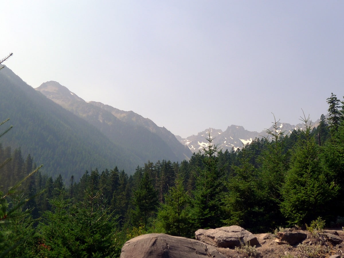
Now comes the brunt of the elevation gain. You will follow the Royal Creek as it steadily climbs up and up and up. There are intermittent views across the valley of the Bluffs Ridge.
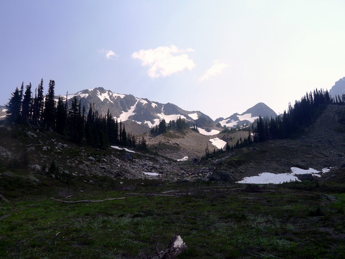
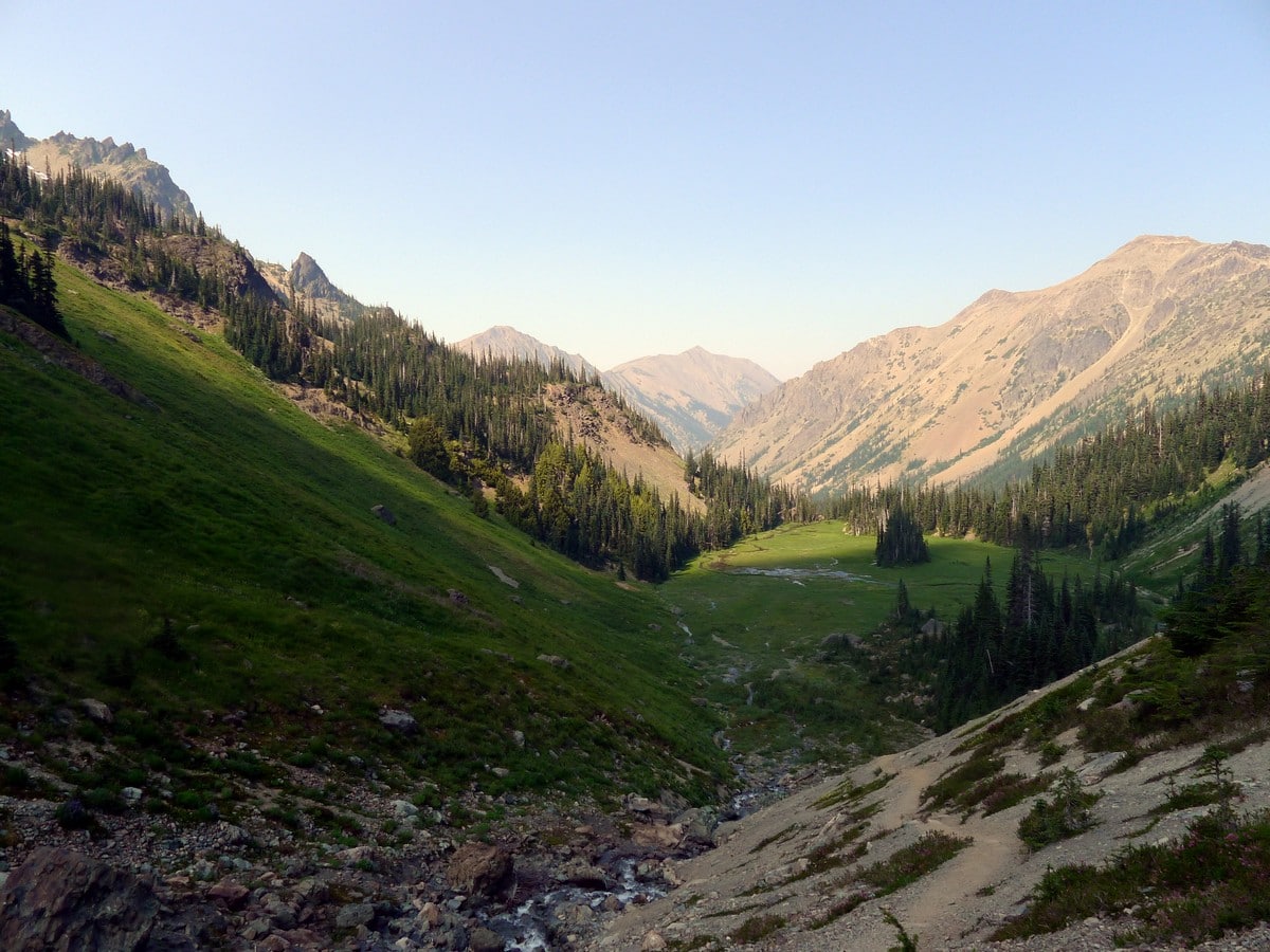
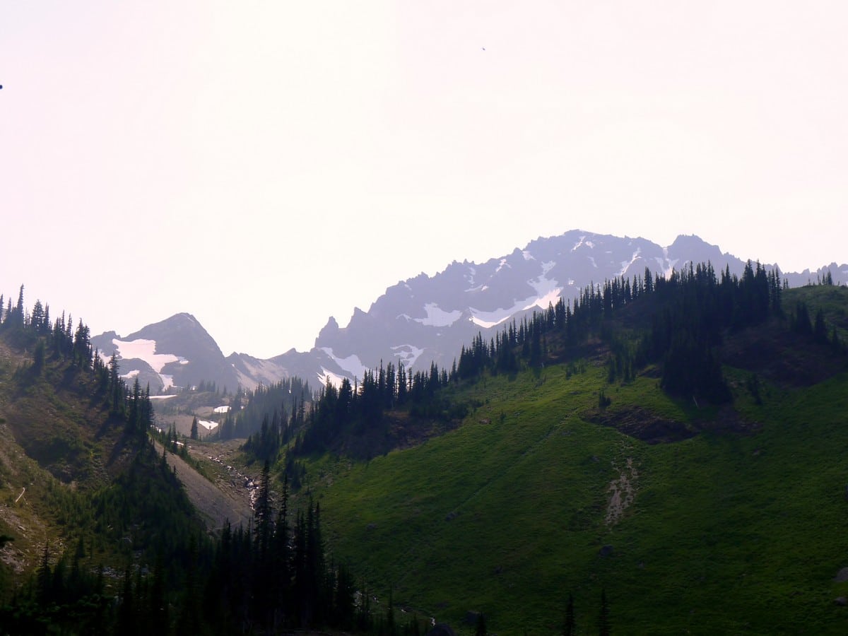
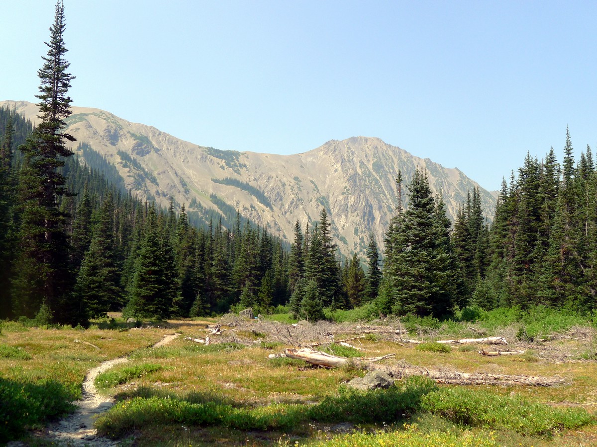
Finally, after just over 6.0mi you will arrive at the lower Royal Meadows, where you will have your first major views. Looking back the way you came, Greywolf Mountain and its impressive, almost Rocky Mountain aesthetic will dominate the horizon.
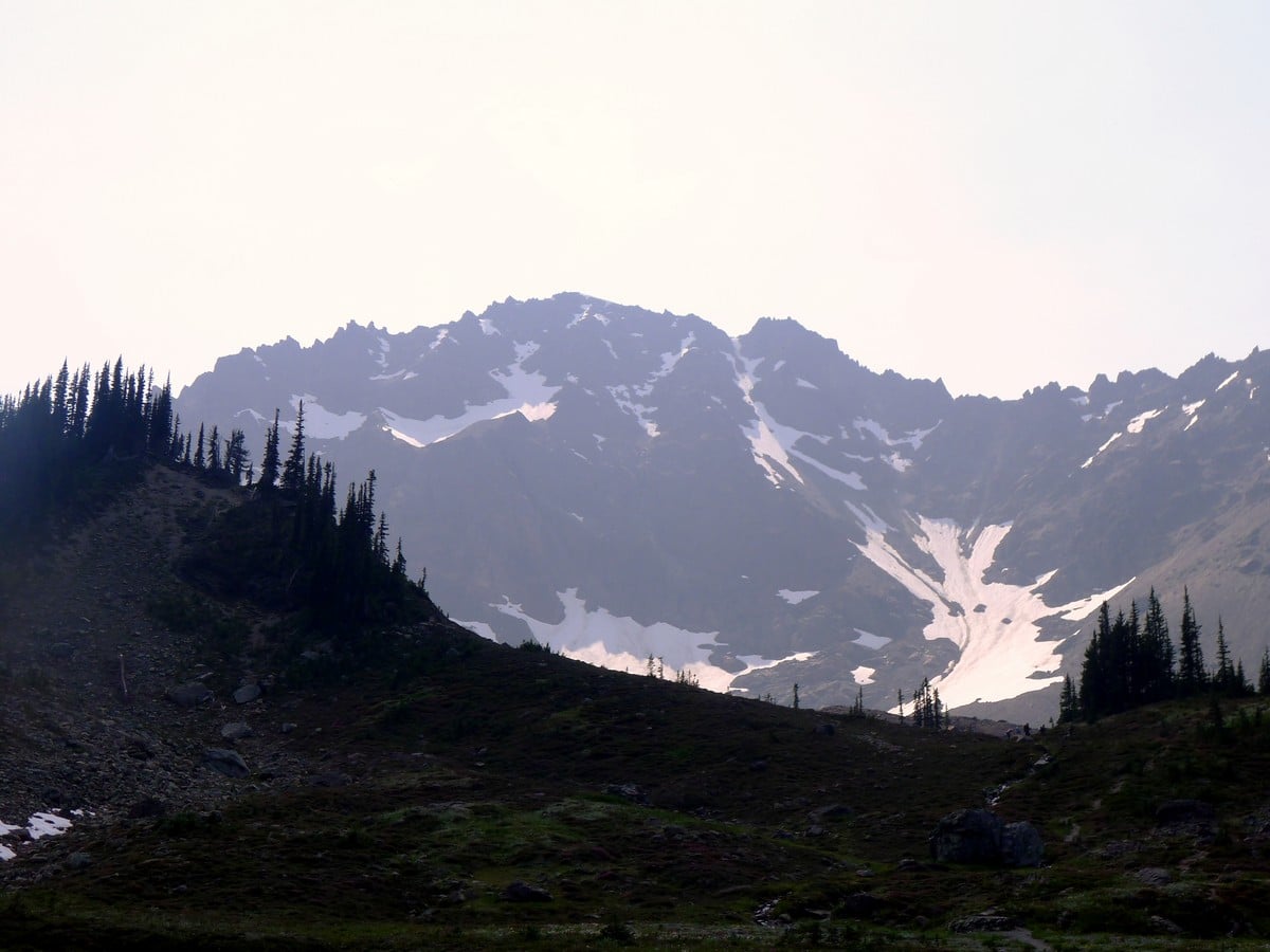
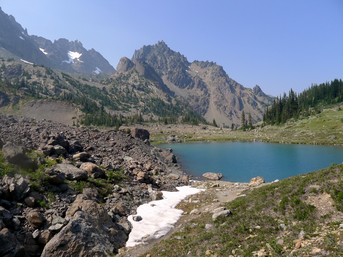
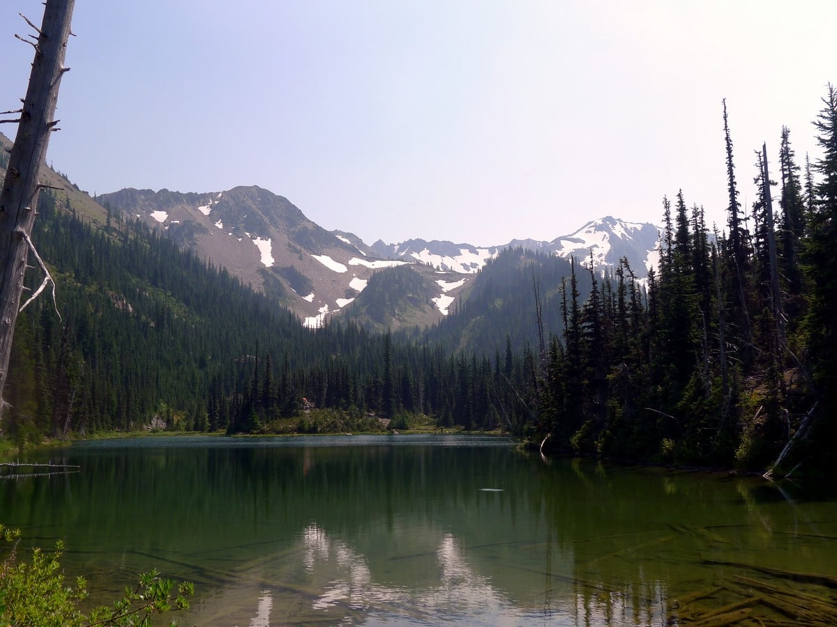
Continue hiking up for another short ways until you get to Royal Lake. This absolutely gorgeous lake is a worthwhile turnaround spot for those not wanting to do the entire trail, and makes for a surprisingly warm swimming spot! Looking across Royal Lake you will see the expansive ridgeline extending from Mount Deception.
Head around Royal Lake and start climbing again. You will pass through a gorgeous meadow where you will have another great view looking back to Greywolf Mountain. Finally, you will reach the end of the trail in the grassy plateau at the foot of Mount Deception. It is now that you will realize just how apt the name of this hike is, as the view you are witnessing seems truly fit for a king.
In addition to Mount Deception, Mount Clark will provide nice ambiance to the northwest, and you may even be able to see Mount Fricaba to the southeast. After enjoying the views, return the way you came.
Check out more amazing hikes in the Olympic National Park, like the Hoh River Trail, Ozette Triangle or the Obstruction Point hike.
Insider Hints
You can break up this long hike by camping at Royal Lake or the Lower Royal Meadows. You can also turn around earlier to make this a more achievable dayhike.
There are a lot of bugs up on the plateau. You have been warned!
Similar hikes to the Royal Basin hike
Grand Pass Trail
Grand Pass Trail is a beast of a day hike, with over 13.7mi to cover across varied, steep…
Mount Angeles via Sunrise Ridge Trail
Mount Angeles via Sunrise Ridge Trail is a challenging hike that starts out more forgiving before ending with a demanding…

Heather Park and Mount Angeles via Lake Angeles Trail
Heather Park and Mount Angeles via Lake Angeles Trail is a 15.8mi


Forward 4 years ago
After hiking in Washington for 20 years, there are few new destinations that take my breath away. Royal Basin did that. This hike will be on a more difficult scale for an average hiker due to it's length and steepness of some of the sections, if you are in a better shape; however, you will find the first 3 miles relatively easy and the rest moderate. The trail is currently snow free and free of obstacles, except for couple muddy sections.
Abra Pepel 5 years ago
Sublime beauty! It requires a certain type of fitness to conquer this hike. If you're not prepared, you'll end up going home crying.
Lambert O 5 years ago
All the way up to the first lake the trail was clear with incredible views and forest scenery. Well worth it.
Tom Pack. 5 years ago
I absolutely loved this hike. Beautiful lake and surrounding peaks
T Rob 5 years ago
tough at times hike but definitely worth it and it took almost twelve hours round trip time
Pana Cotta 6 years ago
It was incredibly challenging but the view of the rocky mountains and snow-capped summits were impressive.
Sidney M. 6 years ago
I sweat a lot while climbing up. Never sweat as much before. Glad I was able to finish it.
Sun Yi 6 years ago
It was a long arduous hike to the summit. There were plenty of switchbacks and the path was confusing.
Eliza Mendez 6 years ago
This is a very challenging hike to begin with. Views were great but it's not for everyone.
Michael Suprano 6 years ago
Climbing up required lots of stamina, energy, and patience. Legs got so sore a few days after finishing this hike. It causes so much stress on my legs and foot.