

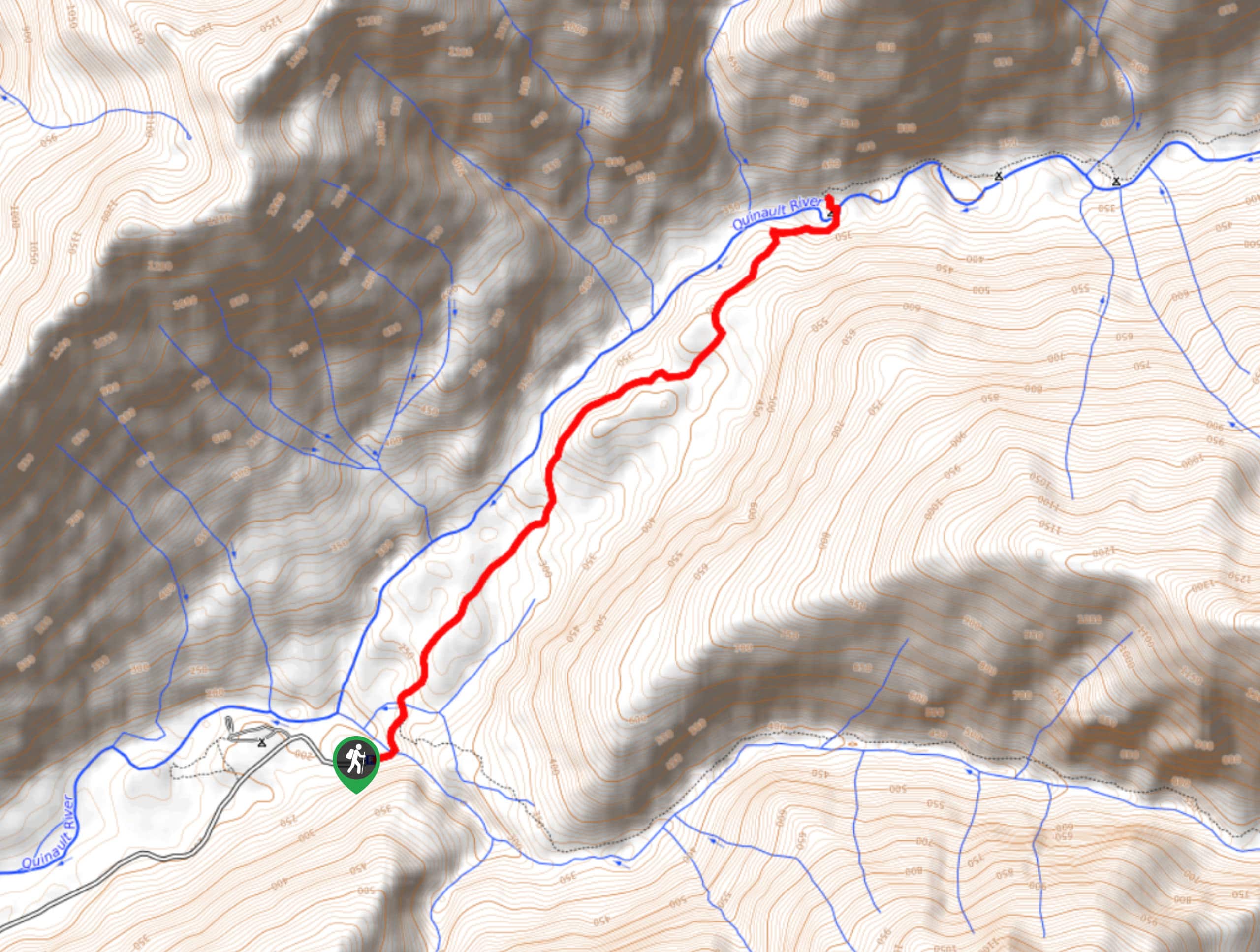
Quinault River Pony Bridge Trail
View PhotosQuinault River Pony Bridge Trail
Difficulty Rating:
For a different experience than the many mountain panoramas out there, try the Quinault River Pony Bridge Trail. This moderate hike leads to an impressive view into the river gorge from atop the bridge. It’s a top-notch picnic lunch spot and there’s nothing too strenuous or difficult required in reaching it.
This trail is heavily trafficked, making a midweek or early morning visit a good idea if possible.
Getting there
The trailhead for the Quinault River Pony Bridge Trail is at the end of Graves Creek road past Graves Creek Campground.
About
| Backcountry Campground | Pony Bridge Campground |
| When to do | Year-round |
| Pets allowed | No |
| Family friendly | Yes |
| Route Signage | Average |
| Crowd Levels | High |
| Route Type | Out and back |
Quinault River Pony Bridge Trail
Elevation Graph
Weather
Quinault River Pony Bridge Trail Description
The azure water of the Quinault River flowing far below Pony Bridge is a gorgeous sight, and this hike offers it up without needing to take on many challenges. Enjoy a well-maintained trail suitable for beginners and the raw beauty of the river on this adventure.
The hike begins from the end of the road. Cross Grave Creek and keep left. You’ll hike first through a flatter section of trail before lightly ascending up the right-hand ridge. Follow the trail as it traverses evenly above the river below.
You’ll drop a modest amount of elevation to the bridge, which is wonderful. Look down over the gorge below at the water, which is very scenic. If you take a left after the bridge and follow the path, you’ll discover a great swimming spot with a beach (there’s a little bit of climbing to get here, so don’t go if you have any mobility restrictions that may make a light scramble difficult).
When you’re done enjoying the river, turn back and take the same path back to the trailhead.
Similar hikes to the Quinault River Pony Bridge Trail hike
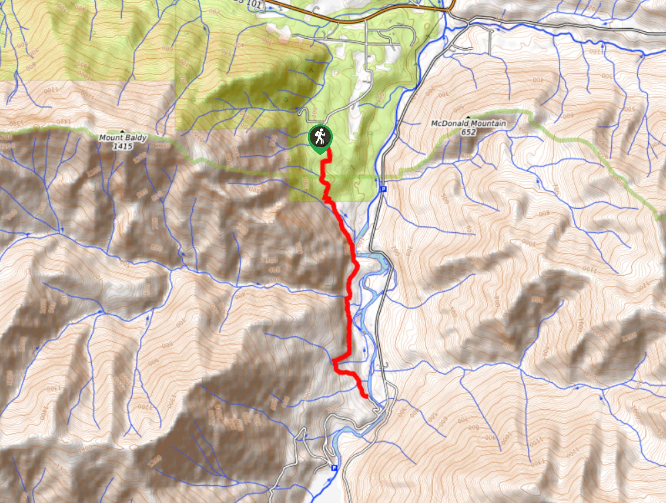
West Elwha River Trail
The West Elwha River Trail is a lovely moderate walk alongside the river to the Altair Campground and back. This…
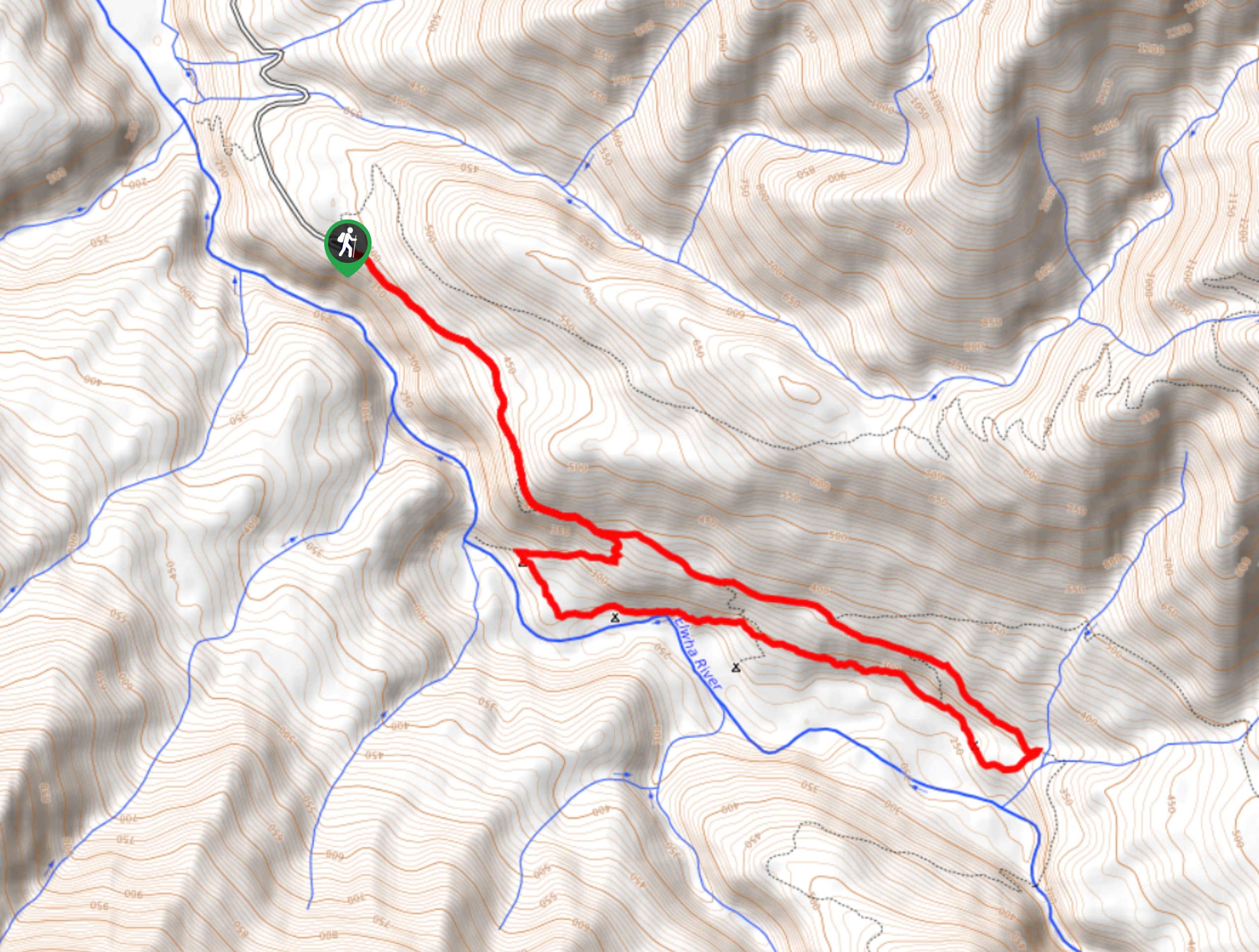
Humes Ranch Loop Trail
Humes Ranch Loop Trail is a heavily trafficked loop hike in Olympic National Park. This trail is very beautiful and…
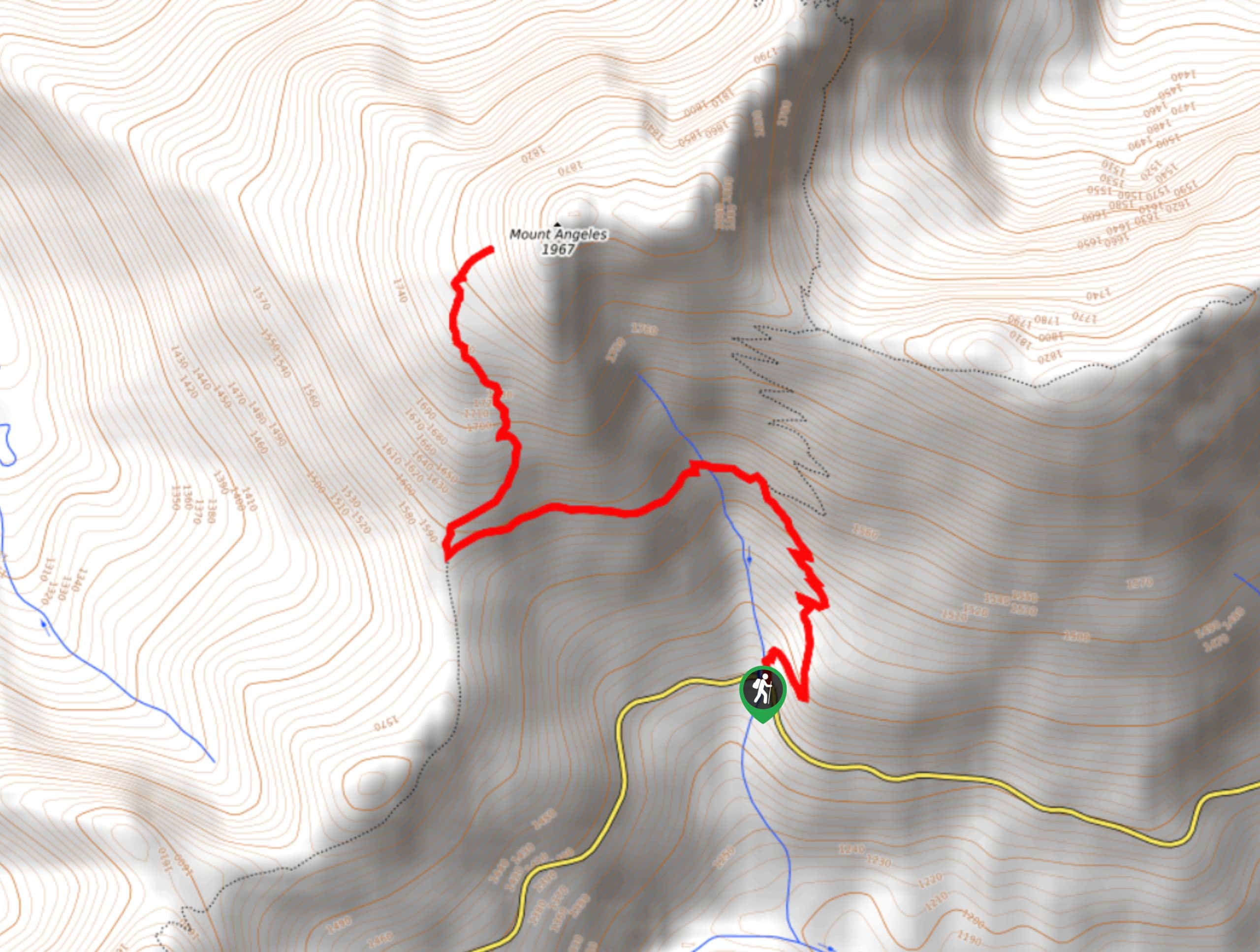
Mount Angeles via Switchback Trail
Mount Angeles via Switchback Trail is an exciting hike that starts out more gradual before ending with a fairly demanding…



Comments