


Obstruction Point hike
View PhotosObstruction Point hike
Difficulty Rating:
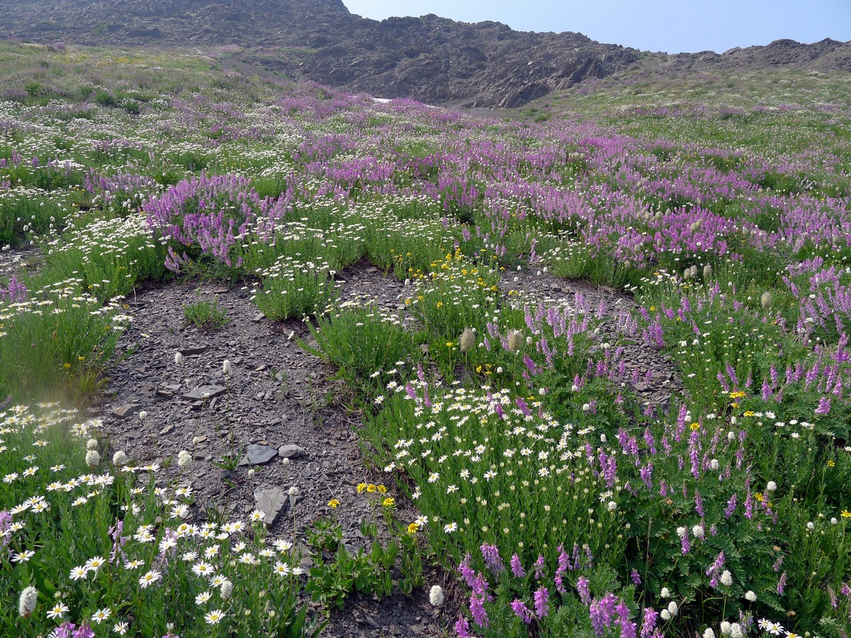
A stunning alpine hike that is - surprisingly - not often done. You can choose to do this as a linear hike, with a car-shuttle. That takes a lot of time so we prefer to do either a long return dayhike or else turn around after 5.0mi as a more reasonable dayhike.
Getting there
If you want to shuttle, it will take about 2 hours between vehicle drops. Ouch! The two trailheads are Deer Park Trailhead: from the US-101 turn right onto Deer Park Rd; take this for 16.0mi to trailhead. Obstruction Point Trailhead: From Port Angelesfollow Race Street south. Veer right along Hurricane Ridge Rd for 17.5mi until just before the parking area. Take a very sharp left onto Obstruction Point Rd for 7.6mi till its end.
About
| When to do | July through September |
| Backcountry Campsites | Yes, halfway along the trail, permits required. |
| Toilets | Yes, at trailhead and trail end. |
| Family friendly | No |
| Route Signage | Average |
| Crowd Levels | Low |
| Route Type | One Way |
Obstruction Point
Elevation Graph
Weather
Route Description for Obstruction Point
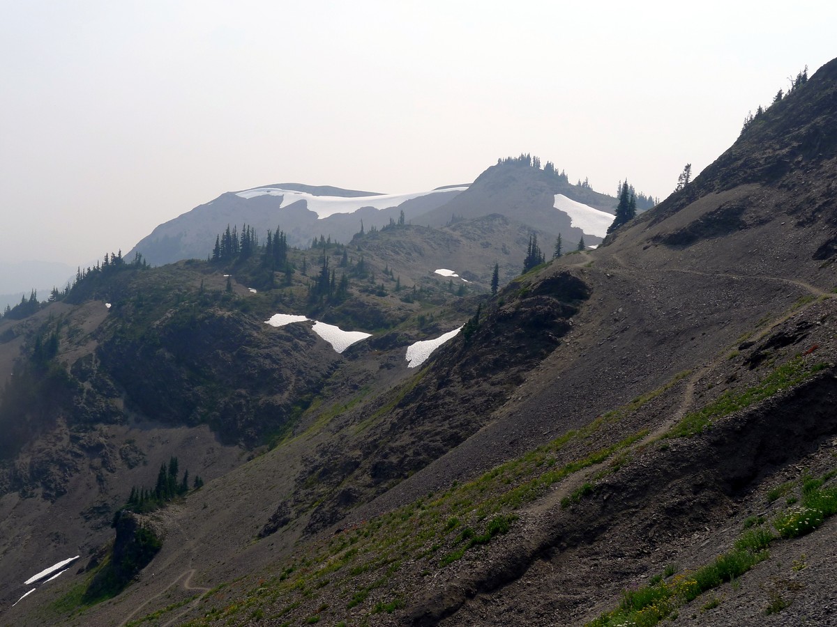
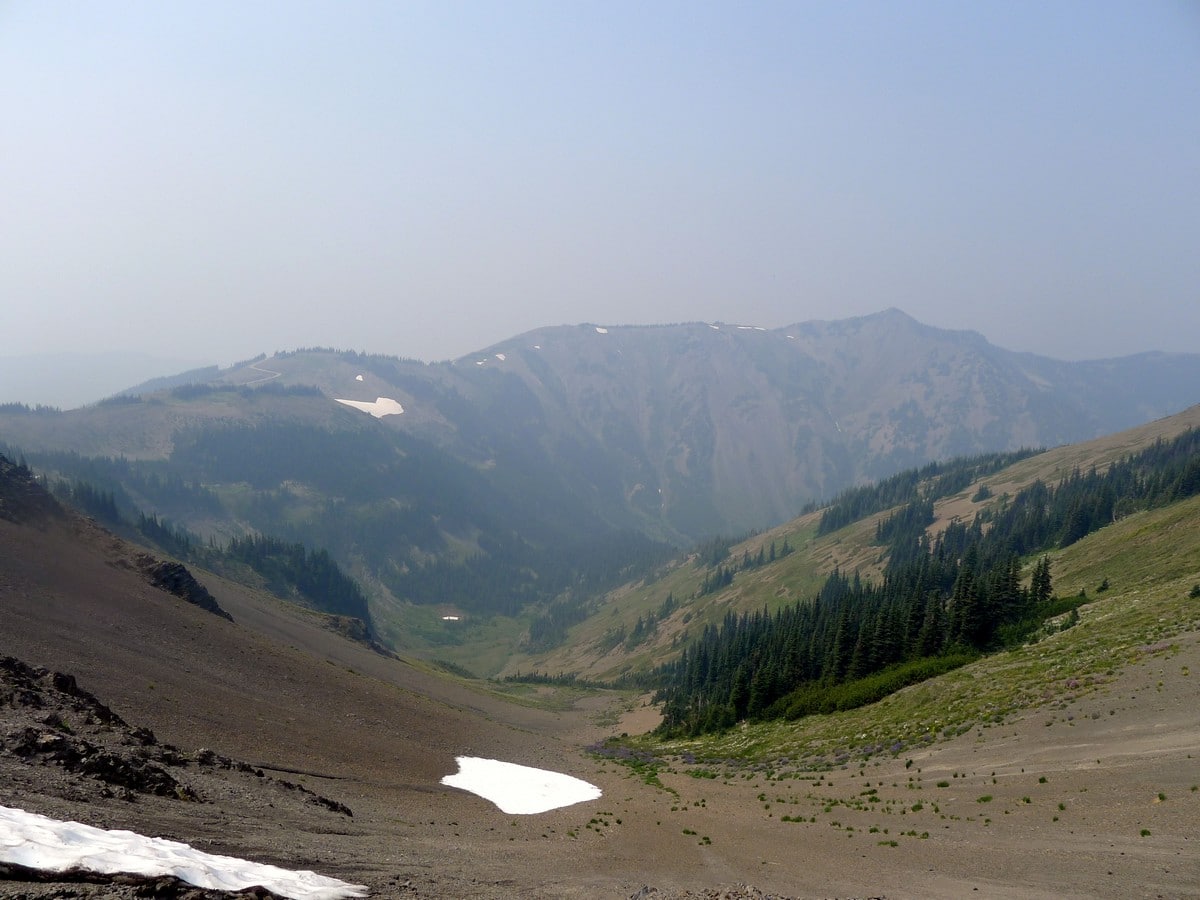
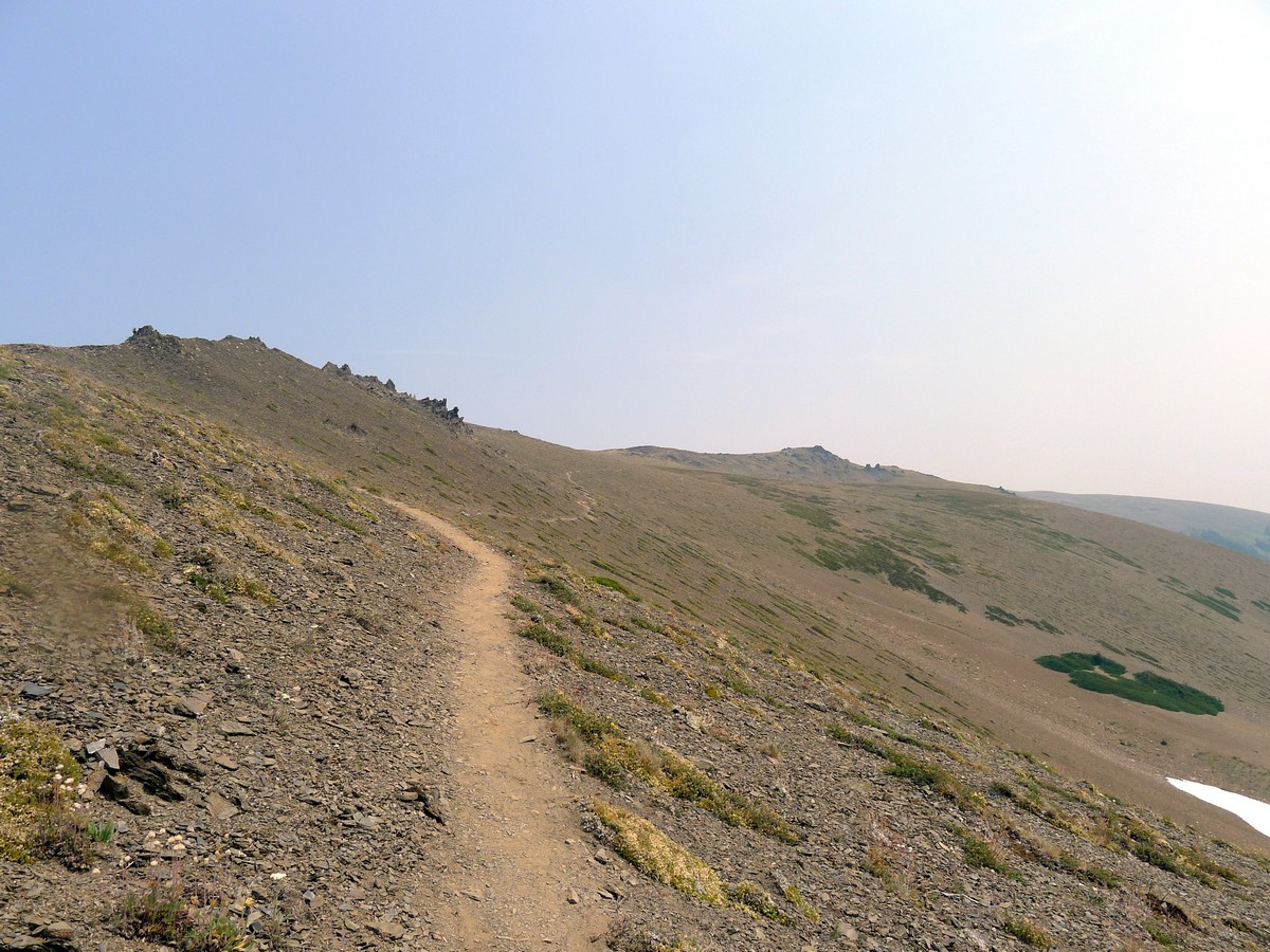
From Obstruction Point take the path leading to the left as you contour under Obstruction Peak. The trail will veer north as you enter the top edge of a humongous valley. As you continue heading north, you will reach an unsigned junction where you will continue straight.
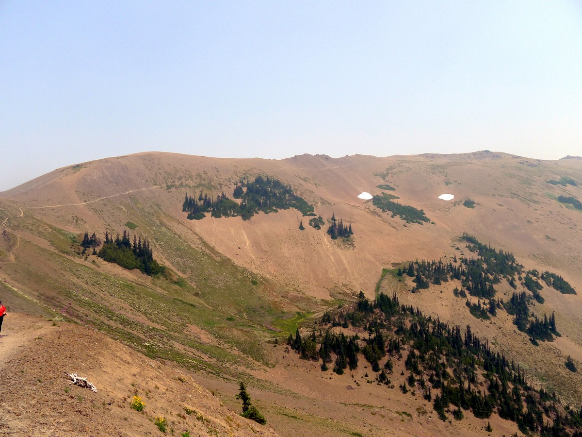
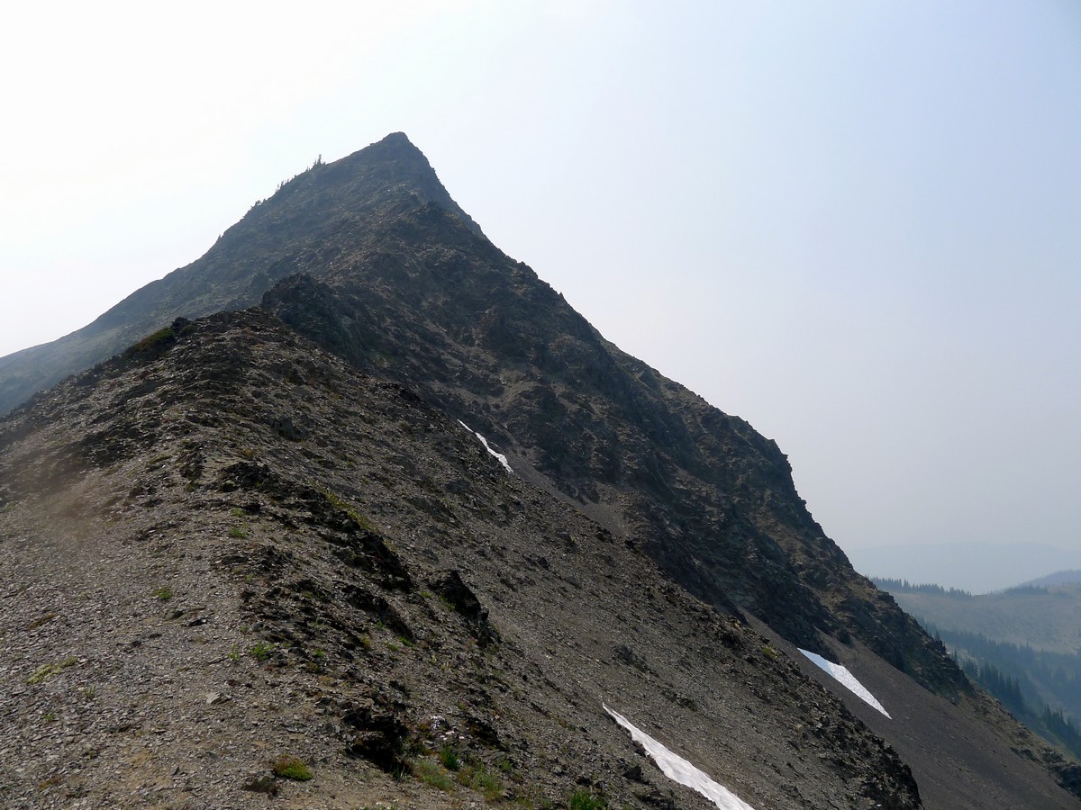
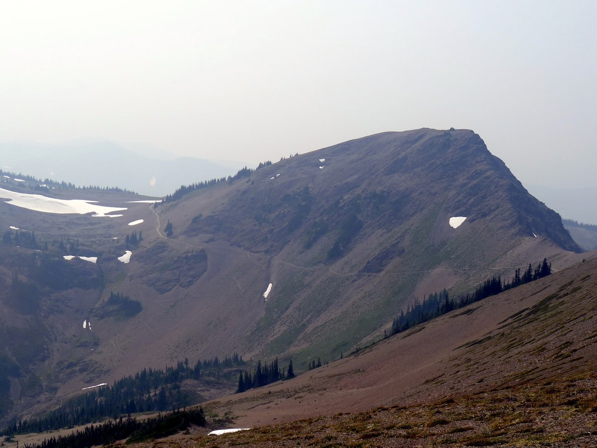
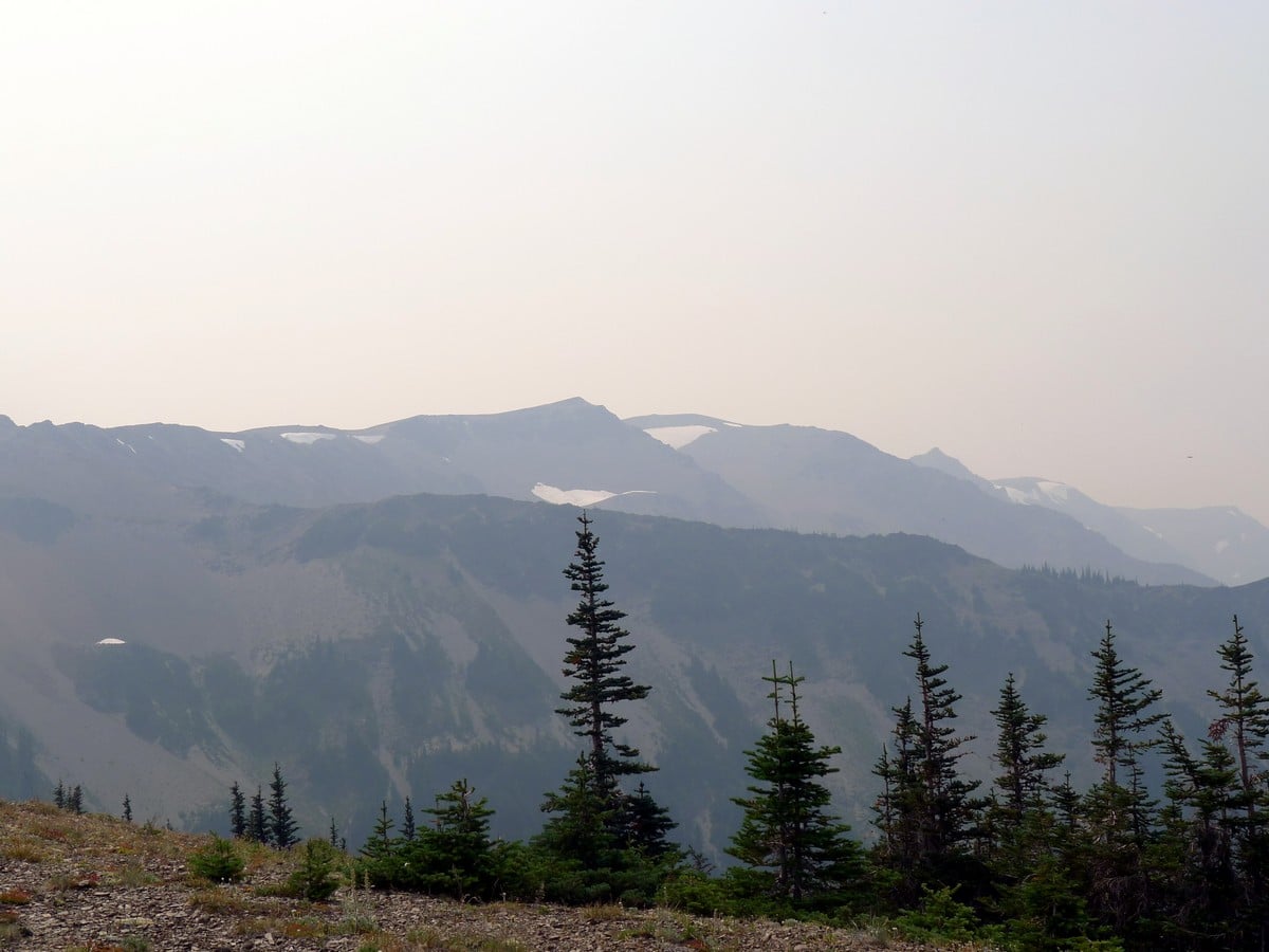
As you contour around the valley the trail on the opposite end will be clearly visible. You will steadily gain elevation. Hiking directly underneath so many peaks can make you feel like a fish out of water. It’s almost as if you are in an alien landscape of black lichen-covered rocks and small, weathered shrubs.
Finally, after undulating up and down for approximately 20-30 minutes you will pass under Elk Mountain, and then you will reach another junction where you will again continue straight. The trail will now start to veer more to the northeast.
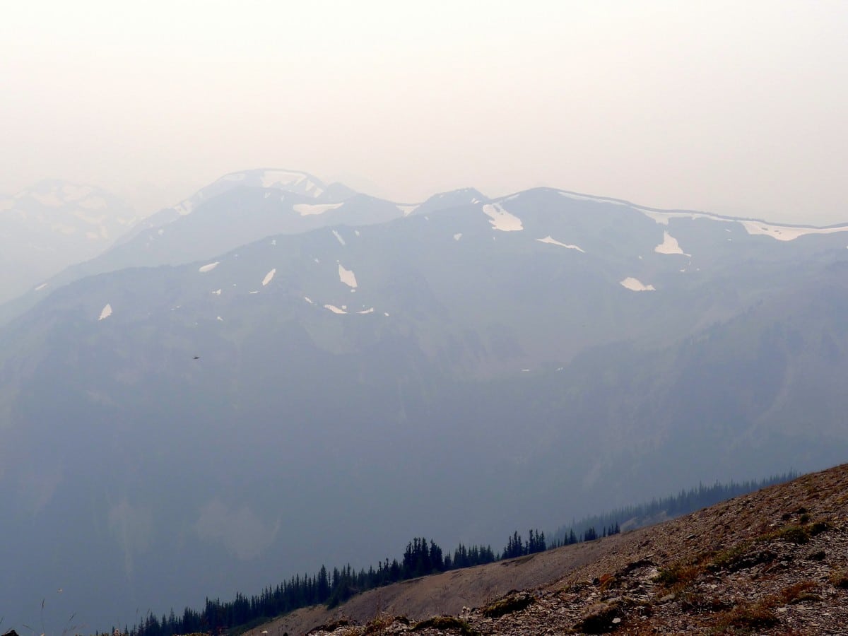
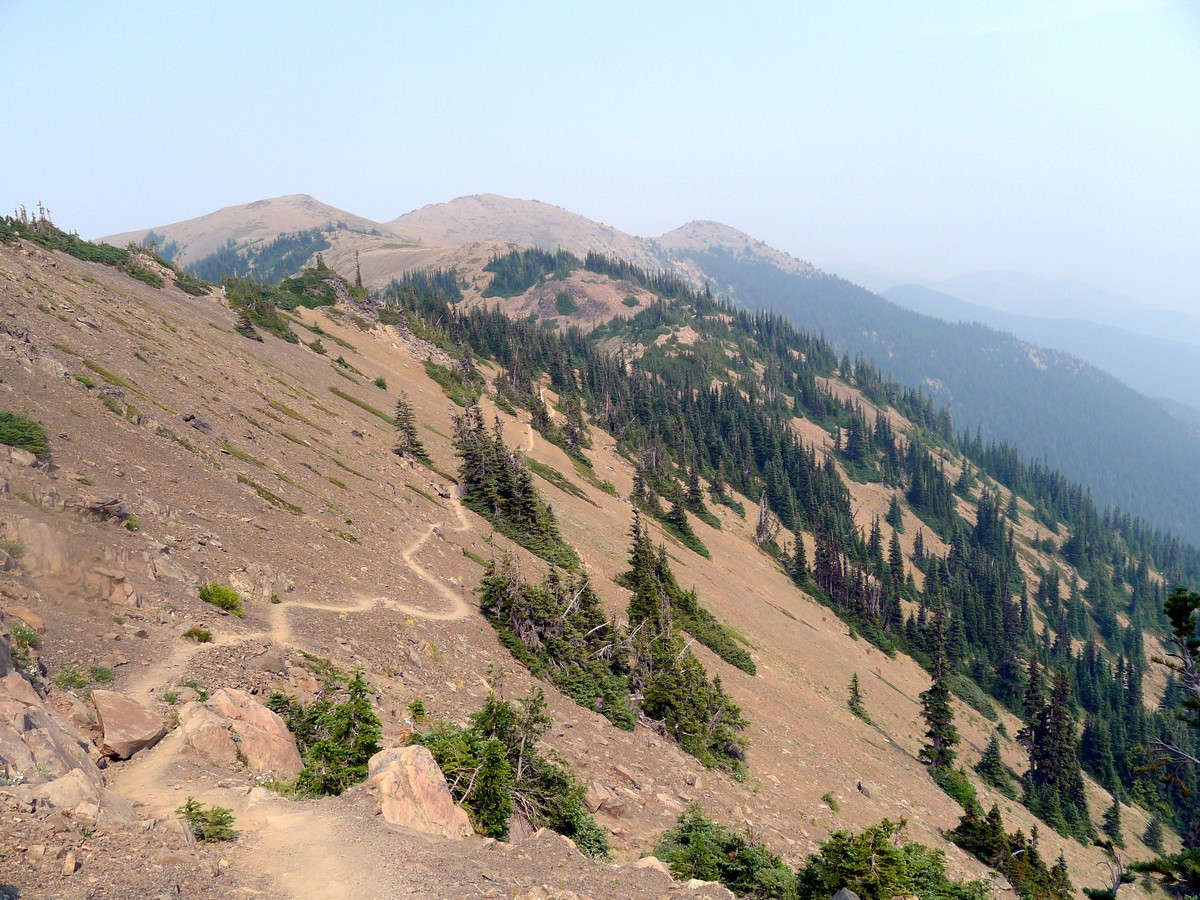
After reaching a pass, you will complete one more small climb before contouring around the south side of Maiden Peak. Looking to the south you will see a humongous ridge of snow-covered, unnamed peaks across the valley. From the east side of Maiden Peak you will start descending again and – in due time – enter the tree line, for the first time this hike!
For the next 2.0mi you will continue descending all the way past Green Mountain until you reach the Deer Park Trailhead, where you will find your parked car that you shuttled in before starting. Otherwise, you can retrace your steps back to your car.
Check out more amazing hikes in the Olympic National Park, like the Hoh River Trail or the Ozette Triangle.
Insider Hints
This hike can be completed as an arduous out and back. If done this way it would be graded a 5.
For those you want an easier hike, you can hike the first couple of miles, which capture the alien aesthetic beautifully, and then turn around when you’ve had enough.
Similar hikes to the Obstruction Point hike
West Elwha River Trail
The West Elwha River Trail is a lovely moderate walk alongside the river to the Altair Campground and back. This…
Humes Ranch Loop Trail
Humes Ranch Loop Trail is a heavily trafficked loop hike in Olympic National Park. This trail is very beautiful and…
Mount Angeles via Switchback Trail
Mount Angeles via Switchback Trail is an exciting hike that starts out more gradual before ending with a fairly demanding…


Tara Green 5 years ago
Beautiful views and we had a great time especially on a sunny day
Lambert O 5 years ago
Fantastic trail - Would do it again in a heartbeat!!
Suzy TQ 5 years ago
This 8 mile dirt road passes the most beautiful scenery but when you get to the parking area, the view is just absolutely stunning!
Jellybean 5 years ago
Beautiful blue skies, I could see Port Angeles very clearly, and not a cloud to cover the mountain view’s. After the forest you head to a more rocky area, with amazing views of the mountains and some lakes.
Stewart Graham 5 years ago
Awesome hiking and views. Another great place in the Olympic National Park.
footfall 5 years ago
I experienced blue skies all day, only passed 4 people. It was absolutely beautiful!
HIllaryPNW 5 years ago
The way the sun sets in the mountain as absolutely stunning.
Tom Pack. 5 years ago
It was a great hike and you got great views of the Mountains
T Rob 5 years ago
My wife and I went to Obstruction Point months ago and the hike was moderate and the views are amazing
Sun Yi 6 years ago
Good hike overall! The views are pleasing until the end.