
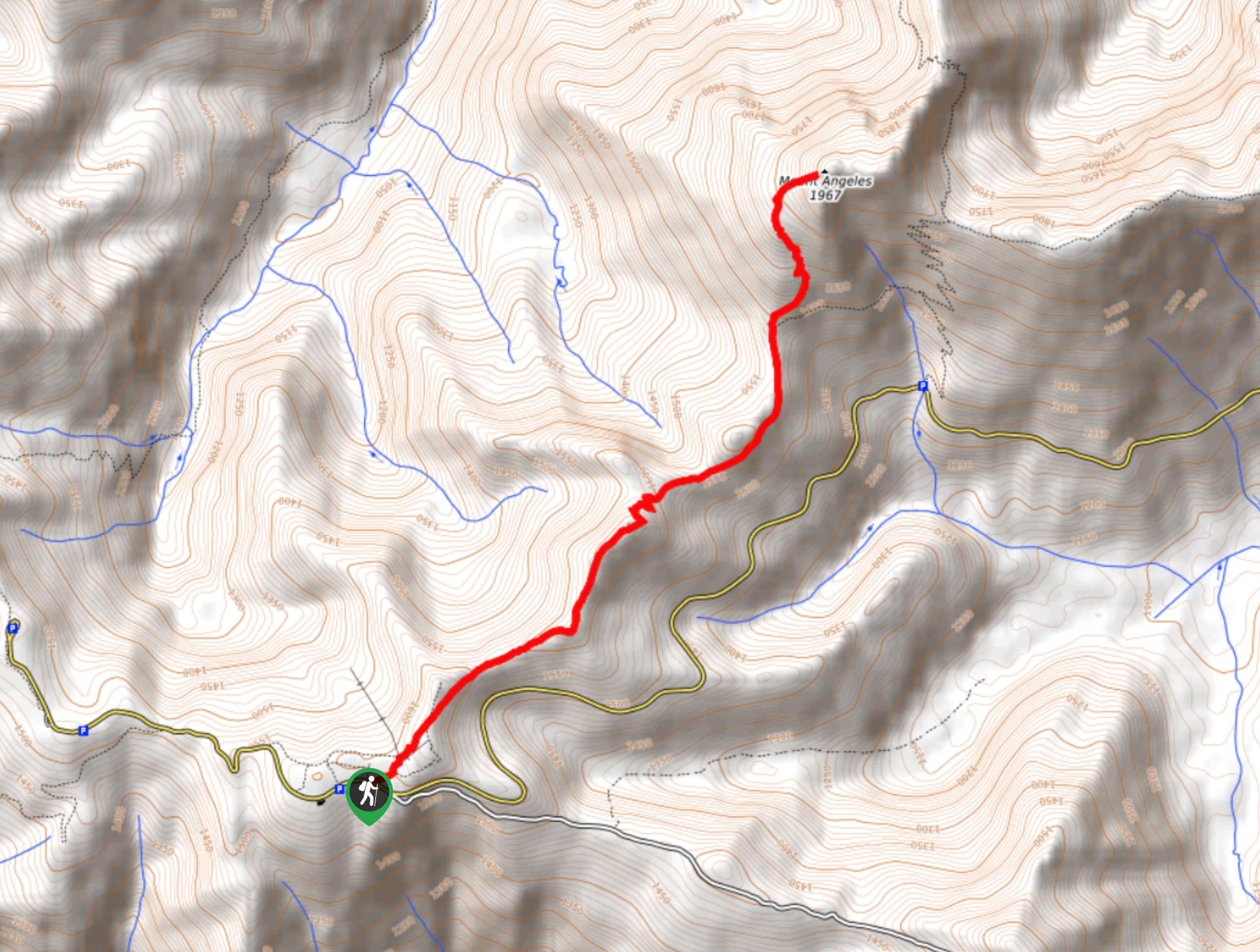
Mount Angeles via Sunrise Ridge Trail
View Photos
Mount Angeles via Sunrise Ridge Trail
Difficulty Rating:
Mount Angeles via Sunrise Ridge Trail is a challenging hike that starts out more forgiving before ending with a demanding scramble. This trail is almost 5.6mi long and requires over 1969ft of elevation gain, some of which is on the descent. Most hikers don’t actually make it to the summit due to the technicality of the moves required, but great views can still be enjoyed from wherever you decide to end your ascent.
Poles and boots with good tread are recommended for this hike.
Getting there
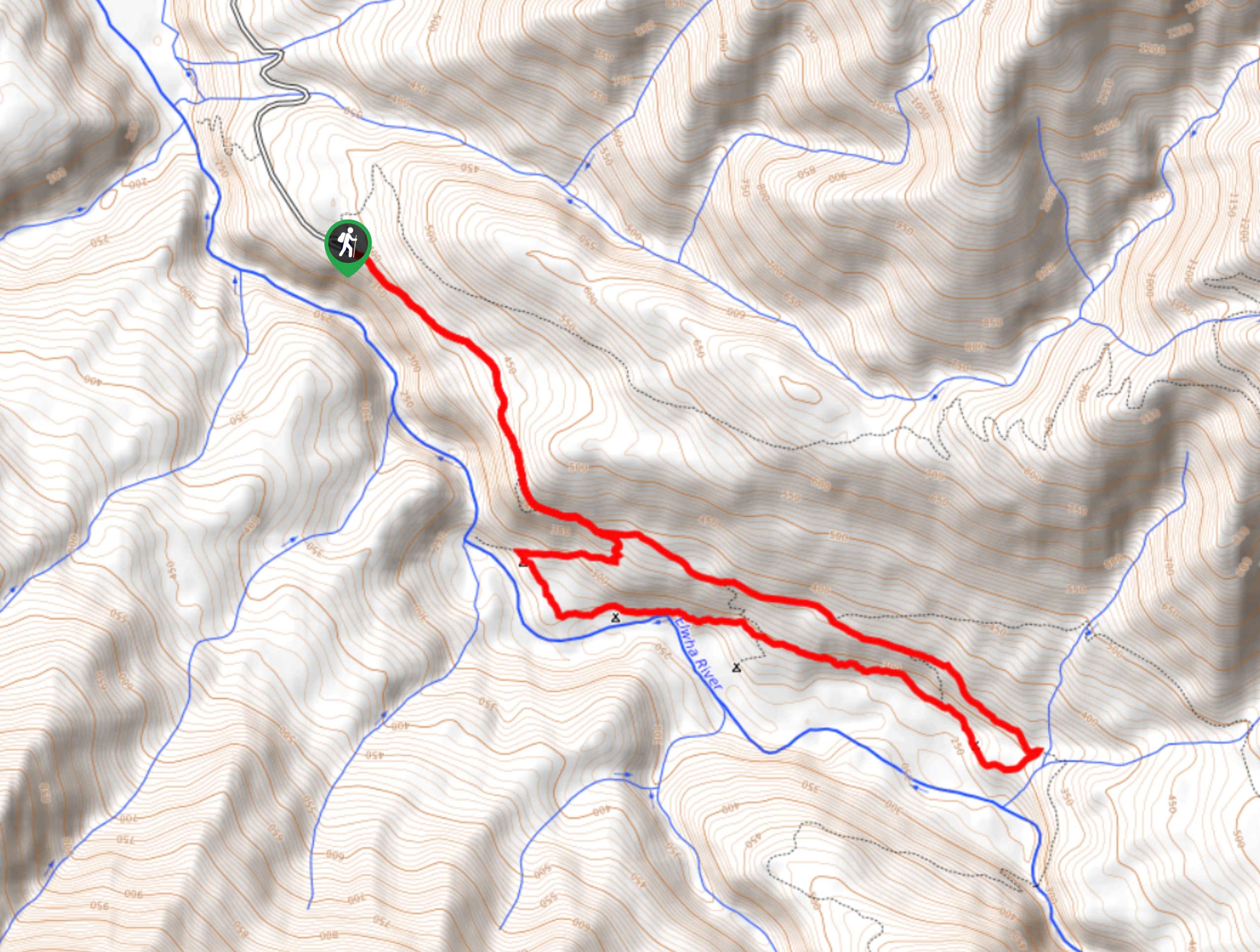
The trailhead for Mount Angeles via Sunrise Ridge Trail is on Hurricane Ridge Road across from the ski area.

About
| Backcountry Campground | No |
| When to do | June-October |
| Pets allowed | No |
| Family friendly | No |
| Route Signage | Average |
| Crowd Levels | High |
| Route Type | Out and back |
Mount Angeles via Sunrise Ridge Trail
Elevation Graph
Weather
Mount Angeles via Sunrise Ridge Trail Description
Mount Angeles is a challenging, technical summit from Sunrise Ridge Trail. While it starts out more moderate, the final summit push requires scrambling that will likely feel daunting to most. It’s alright, the views are great even if you don’t quite make it to the top!
There is little tree cover on this hike, so bring plenty of water. Poles and boots with good tread are recommended for the descent, which is mostly dust and scree.
Begin from the trailhead across from the Hurricane Ridge Ski Area. You’ll start off on Cirque Rim Nature Trail, staying straight through two junctions until you get to the Y. Here, go right. At the next junction, go right again.
Now on the Hurricane Ridge to Switchback Trail, it’s a bit more of a gradual hike through pretty forest. Slowly, things begin to intensify, with more elevation gain required. At the final junction, stay left to ascend the summit.
This is where things get very dicey. You’ll battle through loose scree and dusty sections until the scramble. Here, you can choose your route, but most hikers call it quits some 20-50 feet from the summit due to the technical nature of the scramble. Don’t try anything you’re not comfortable with, and appreciate the views from wherever you decide to turn around.
Carefully retrace your steps to the trailhead to end the hike.
Similar hikes to the Mount Angeles via Sunrise Ridge Trail hike
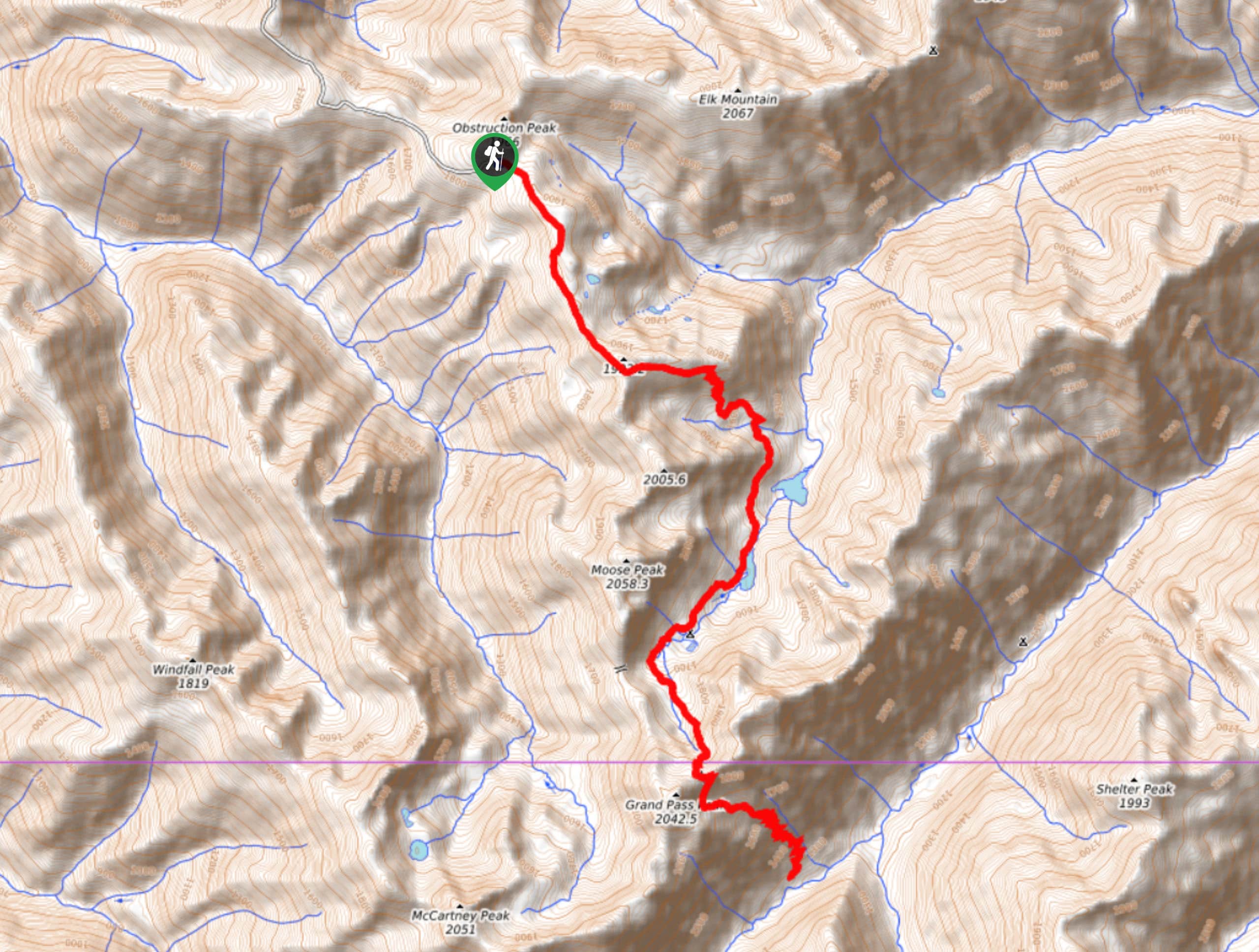
Grand Pass Trail
Grand Pass Trail is a beast of a day hike, with over 13.7mi to cover across varied, steep…
West Elwha River Trail
The West Elwha River Trail is a lovely moderate walk alongside the river to the Altair Campground and back. This…
Humes Ranch Loop Trail
Humes Ranch Loop Trail is a heavily trafficked loop hike in Olympic National Park. This trail is very beautiful and…
Comments