

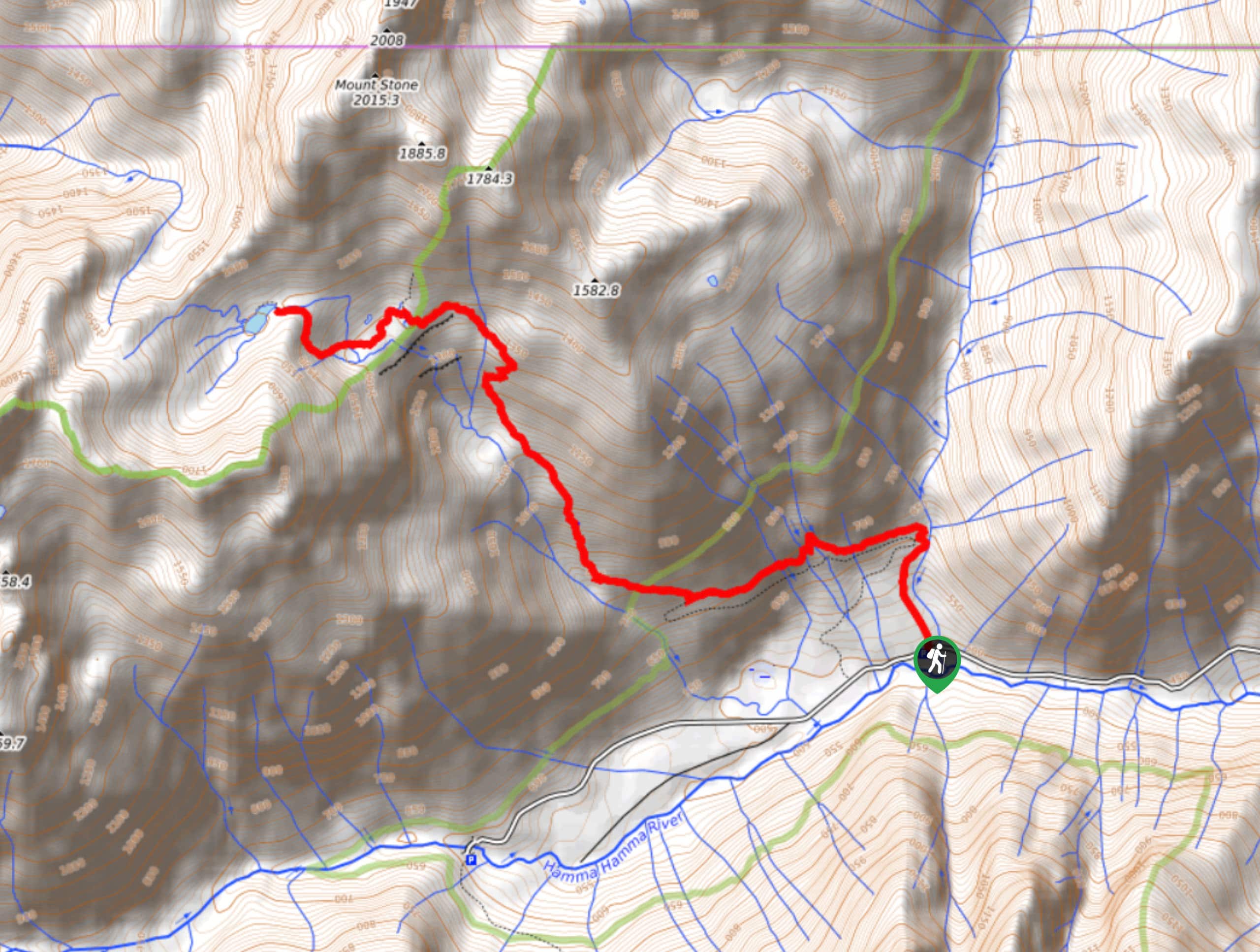
Lake of the Angels via Putvin Trail
View PhotosLake of the Angels via Putvin Trail
Difficulty Rating:
The Lake of the Angels is truly heavenly, but the trail to get there is anything but. If you’re ready for a dose of hard work and a bit of a precarious ascent, this lake is such a fantastic place to celebrate your climb. It’s serene, beautiful, and not too busy. In fact, it’s tucked into the Valley of Heaven, fittingly so. Note that there is a section of hands-on climbing on this hike where a fall could be fatal. There is a rope to assist you, but do not attempt this hike if this level of exposure is too much for you.
We recommend planning this hike for a dry, clear day to lessen any risk of slipping. Poles will be a huge help.
Getting there
The trailhead for the hike to Lake of the Angels on Putvin Trail is off Forest Road 25.
About
| Backcountry Campground | Lake of the Angels Backcountry |
| When to do | March-October |
| Pets allowed | No |
| Family friendly | No |
| Route Signage | Average |
| Crowd Levels | Moderate |
| Route Type | Out and back |
Lake of the Angels via Putvin Trail
Elevation Graph
Weather
Lake of the Angels via Putvin Trail Description
Relax in paradise on the shores of Lake of the Angels, a beautiful alpine lake tucked into the Valley of the Heavens. These lovely names are probably enough to convince you to head out on this trail, but this hike should only be done if you’re comfortable with a section of very high exposure. You’ll need to climb a hands-on scramble with the help of ropes and roots where a fall would likely be fatal. The rest of the trail is hard but much safer, so use your best judgement when it comes to your comfort level. Bring poles and download your GPS route ahead of time.
From the trailhead, the beginning of the trail is moderate. Not long after starting the hike, you’ll see a spur trail that leads to the grave of Carl Putvin, a trapper who lived in this area in the 19th century. Rejoin the main trail if you went to see his grave marker and continue hiking alongside the river.
Climb switchback turns, still moderately graded, as you curve away from the river. Traverse east across two drainages and prepare to climb more steeply. You’ll make your way to a junction with an old road. Stay left.
You’ll head downhill for a short distance. Watch for signage pointing you to the lake. You’ll climb steeply on a sometimes slick trail before emerging into a meadow. Look to the left where the trail bends.
Hike towards a headwall, which is where you’ll scramble straight up and over. Lake of the Angels isn’t on the other side, so don’t be disappointed at the view. You’ll run into Lake of the False Prophet, a false destination indeed. At this lake, turn right, then turn left over the deteriorating logs that lead over the creek. Watch for footprints as you enter the valley and hike up to the other side, where Lake of the Angels is. It’s about half a mile from the smaller lake.
At the lake, revel in the natural beauty and rest your legs after a solid ascent. When you’re ready to return, remember to be very careful as you downclimb the scramble and then retrace your steps to the trailhead.
Insider Hints
If you want to camp at the lake, you'll need a wilderness permit, which you can get at the 2nd trailhead just off the old road bed.
A helmet is a great idea for this scramble.
Avoid this hike on wet, slippery days.
Similar hikes to the Lake of the Angels via Putvin Trail hike
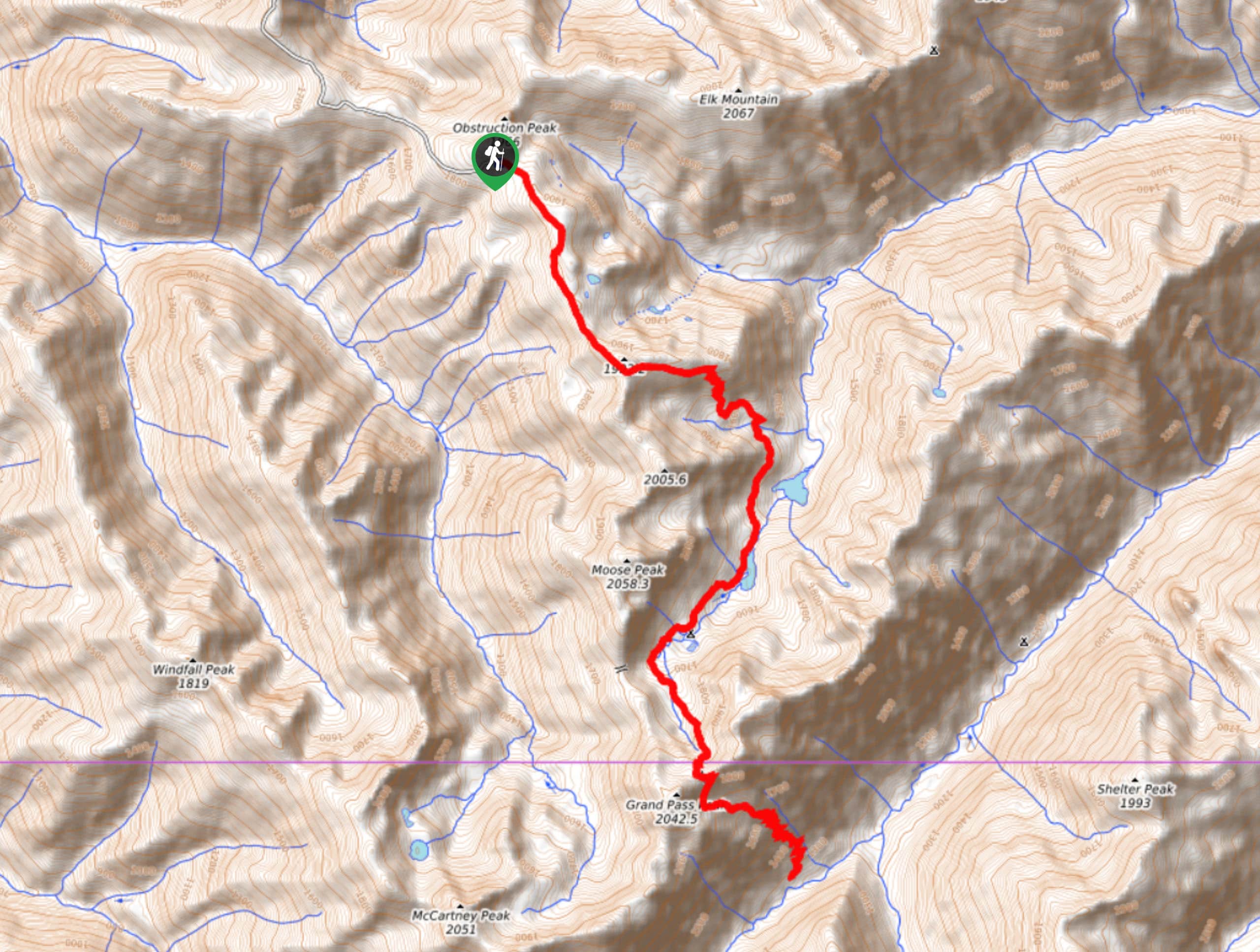
Grand Pass Trail
Grand Pass Trail is a beast of a day hike, with over 13.7mi to cover across varied, steep…
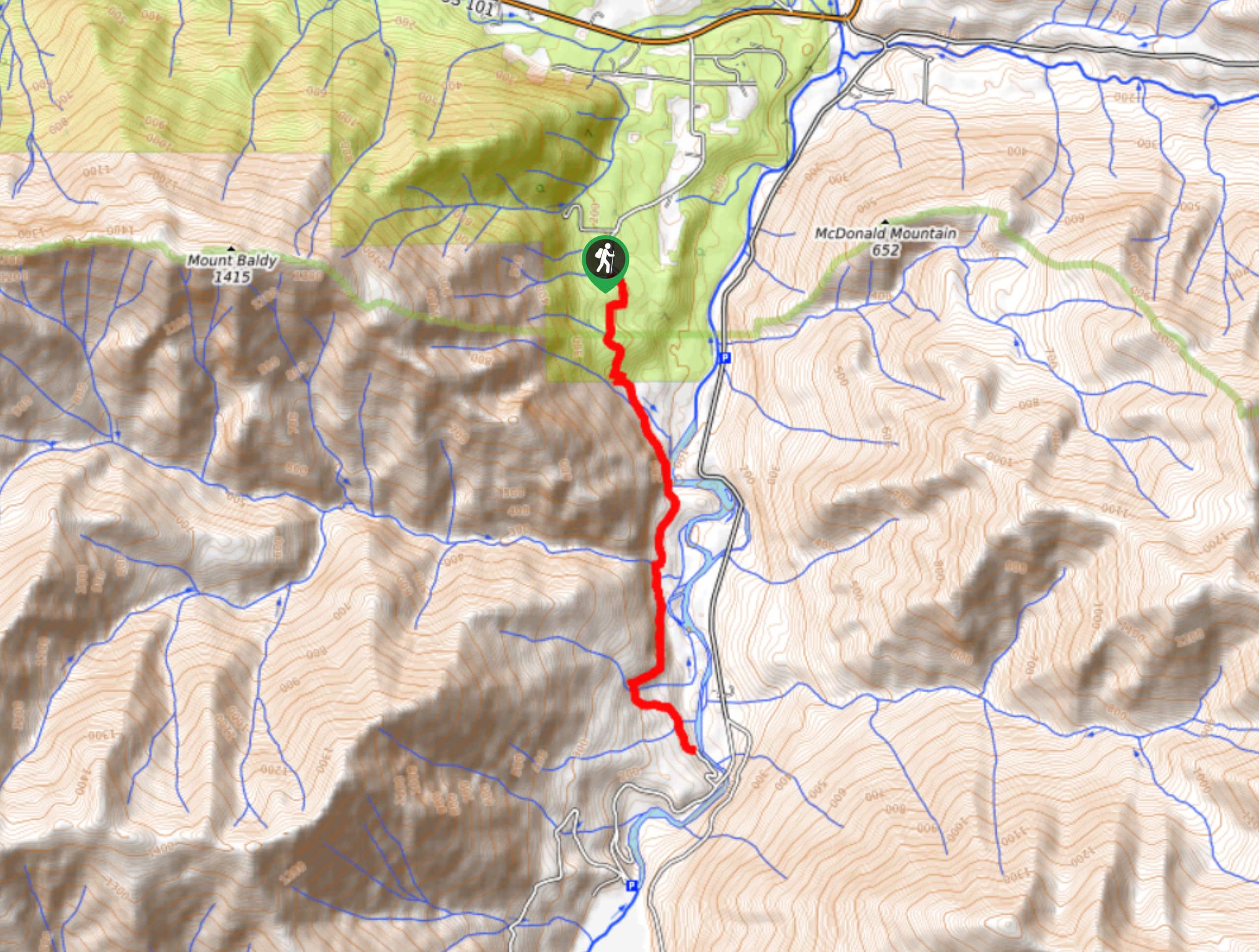
West Elwha River Trail
The West Elwha River Trail is a lovely moderate walk alongside the river to the Altair Campground and back. This…
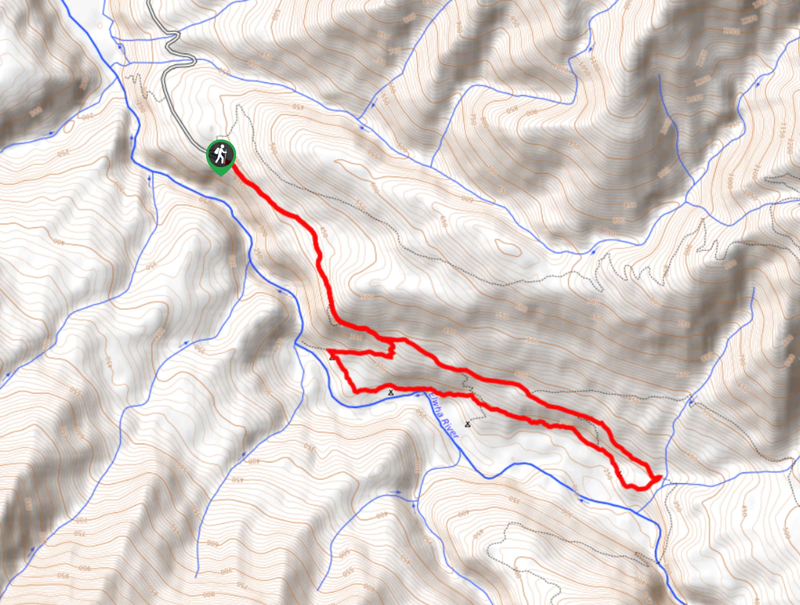
Humes Ranch Loop Trail
Humes Ranch Loop Trail is a heavily trafficked loop hike in Olympic National Park. This trail is very beautiful and…


Comments