

Kalaloch to Browns Point Trail
View PhotosKalaloch to Browns Point Trail
Difficulty Rating:
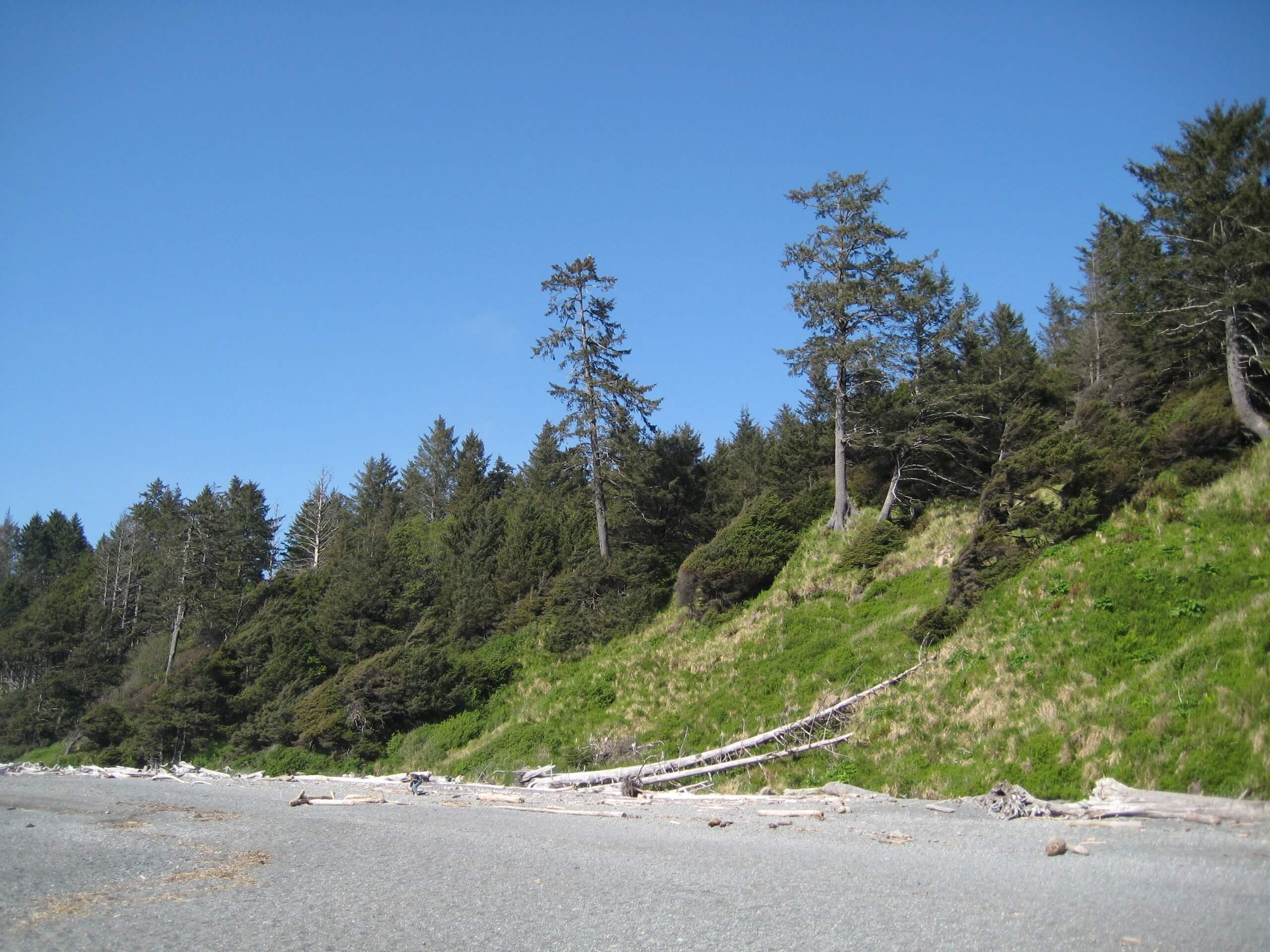
The Kalaloch to Browns Point Trail is a beautiful beach walk in Olympic National Park that is 5.4mi long and requires only 105ft of elevation gain, making it an easy trek. This hike is favored for its beautiful views, occasional humpback sightings, and its Tree of Life, a big tree suspended over an eroded section of shore. There is also a campsite on the beach.
Getting there
The trailhead for the Kalaloch to Browns Point Trail is in Kalaloch behind the mercantile store.
About
| Backcountry Campground | Kalaloch Campground |
| When to do | Year-round |
| Pets allowed | No |
| Family friendly | Yes |
| Route Signage | Average |
| Crowd Levels | Moderate |
| Route Type | Out and back |
Kalaloch to Browns Point Trail
Elevation Graph
Weather
Kalaloch to Browns Point Trail Description
The walk along the beach from Kalaloch to Browns Point is gorgeous. It’s the classic Olympic Coast scenery you’d expect, with a vast ocean, misty air, a wide beach, driftwood, and unique trees, the most notable of which is the suspended Tree of Life. This is an easy walk, but do try to time it for low tide to get the most out of the beach.
Begin from behind the mercantile store, hiking along Kalaloch Road and then following the trail as it curves to your right and then left towards the shore. Stroll up the beach, enjoying the damp sand and the unique coastal ecosystem.
The trail ends at Browns Point. If you intend to go further, make sure the tide is not on its way up or you may get stuck. From here, turn around and retrace your steps.
Similar hikes to the Kalaloch to Browns Point Trail hike

West Elwha River Trail
The West Elwha River Trail is a lovely moderate walk alongside the river to the Altair Campground and back. This…

Humes Ranch Loop Trail
Humes Ranch Loop Trail is a heavily trafficked loop hike in Olympic National Park. This trail is very beautiful and…

Mount Angeles via Switchback Trail
Mount Angeles via Switchback Trail is an exciting hike that starts out more gradual before ending with a fairly demanding…


Comments