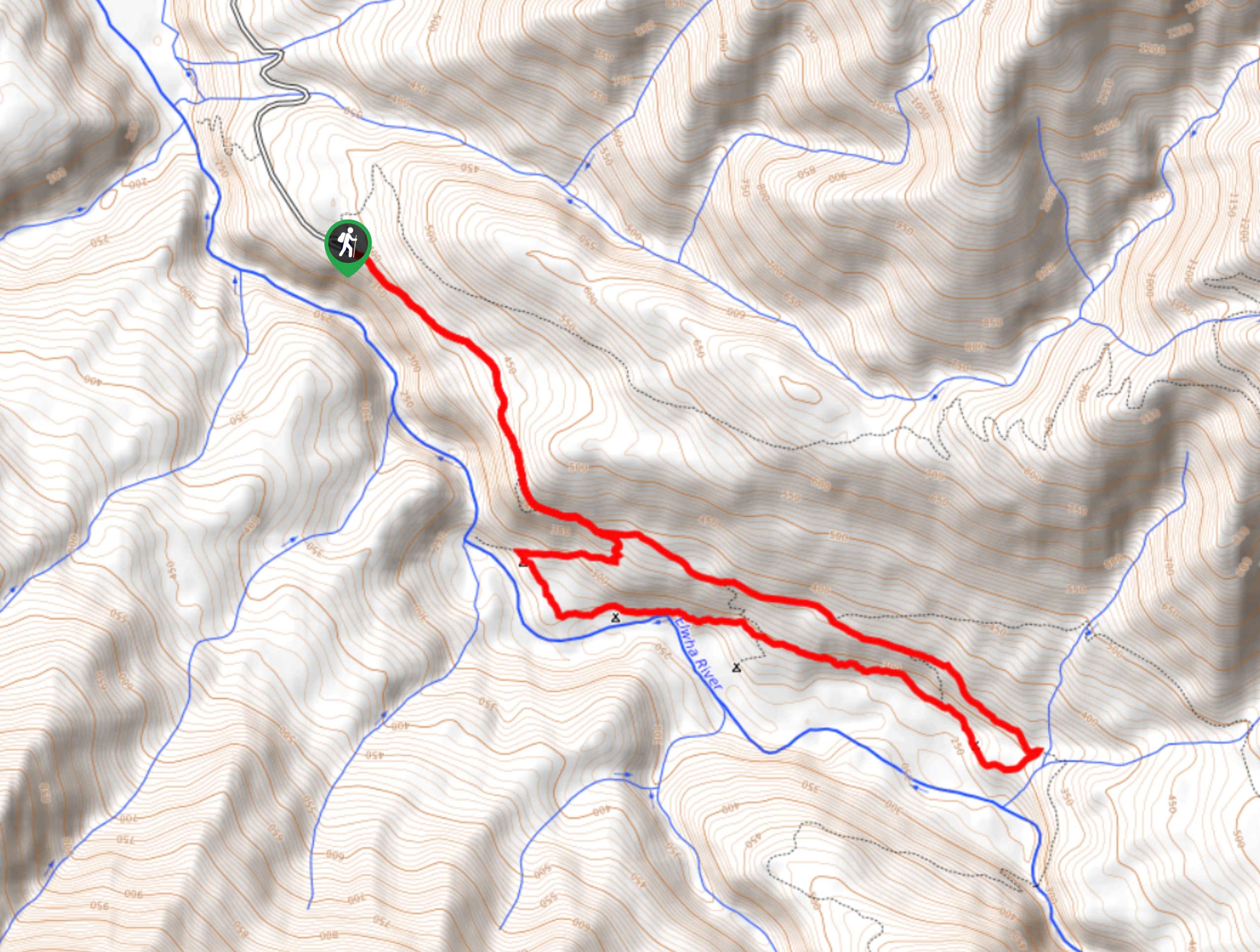
Humes Ranch Loop Trail
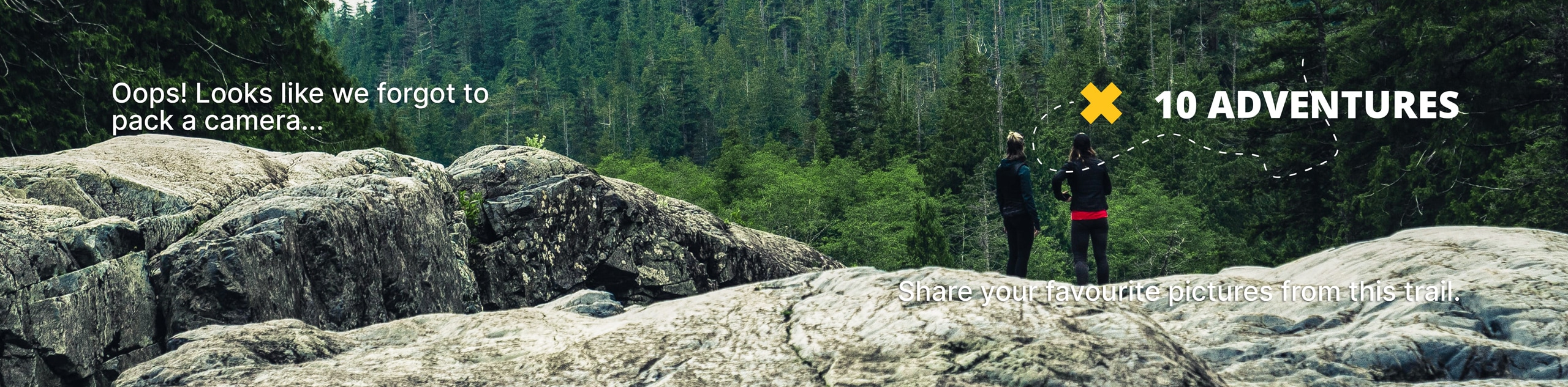
View Photos
Humes Ranch Loop Trail
Difficulty Rating:
Humes Ranch Loop Trail is a heavily trafficked loop hike in Olympic National Park. This trail is very beautiful and there are lots of camping spots along the way. While the marked trail itself is under 10km long, washout on the access road has made it necessary to begin from Madison Falls, making this a much longer trek. Until this is fixed (if ever), come prepared for extra hiking.
Getting there
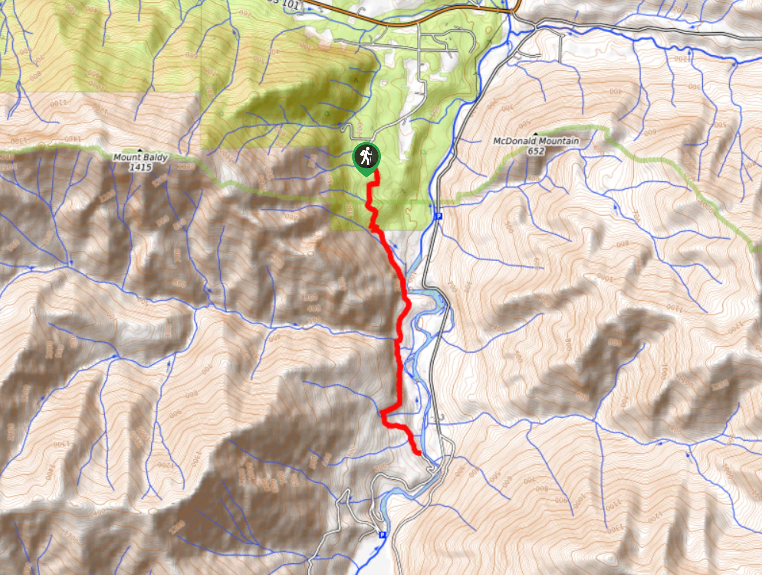
The trailhead for the Humes Ranch Loop is at the end of Whiskey Bend Road. Because of washout, you’ll need to begin at Madison Falls.

About
| Backcountry Campground | Humes Ranch Campsites |
| When to do | April-October |
| Pets allowed | No |
| Family friendly | Yes |
| Route Signage | Average |
| Crowd Levels | High |
| Route Type | Lollipop |
Humes Ranch Loop Trail
Elevation Graph
Weather
Humes Ranch Loop Trail Description
The Humes Ranch Loop is a pleasant loop through the forest in the Elwha River Valley. Currently, it’s impossible to access the railhead directly due to washout, so plan for a much longer day.
The trail begins from the end of Whiskey Bend Road. Hike gently down the valley wall to where the trail forks. Stay high on the wall (to your left) and loop along the valley floor if you’d rather have one steep ascent and a relaxed remainder of the hike, or go right if you’d rather start with a steep descent and then spend the return trip gaining gradual elevation. Either way, you’ll loop back around where the valley ends. There are campsites all along the trail on the valley floor, so get comfortable if you’re here to spend the night.
Similar hikes to the Humes Ranch Loop Trail hike
West Elwha River Trail
The West Elwha River Trail is a lovely moderate walk alongside the river to the Altair Campground and back. This…
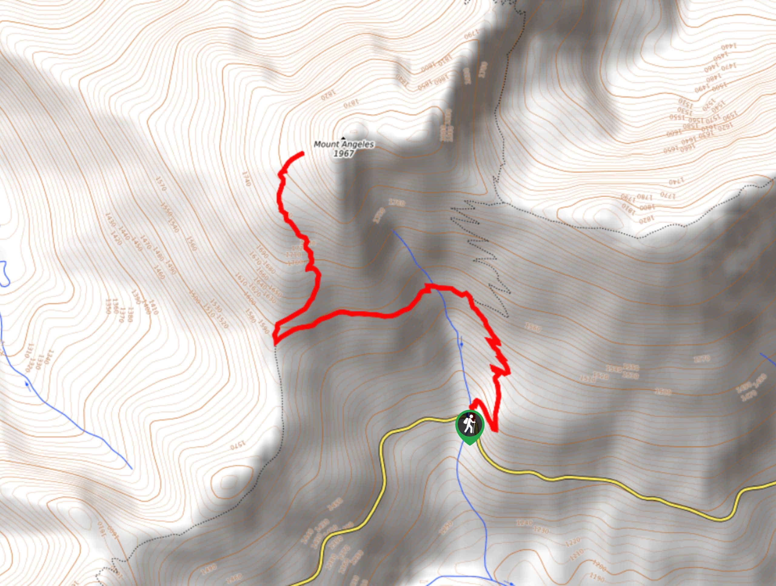
Mount Angeles via Switchback Trail
Mount Angeles via Switchback Trail is an exciting hike that starts out more gradual before ending with a fairly demanding…
Mount Angeles via Sunrise Ridge Trail
Mount Angeles via Sunrise Ridge Trail is a challenging hike that starts out more forgiving before ending with a demanding…
Comments