

Handy Camp via Upper Dungeness Trail
View PhotosHandy Camp via Upper Dungeness Trail
Difficulty Rating:
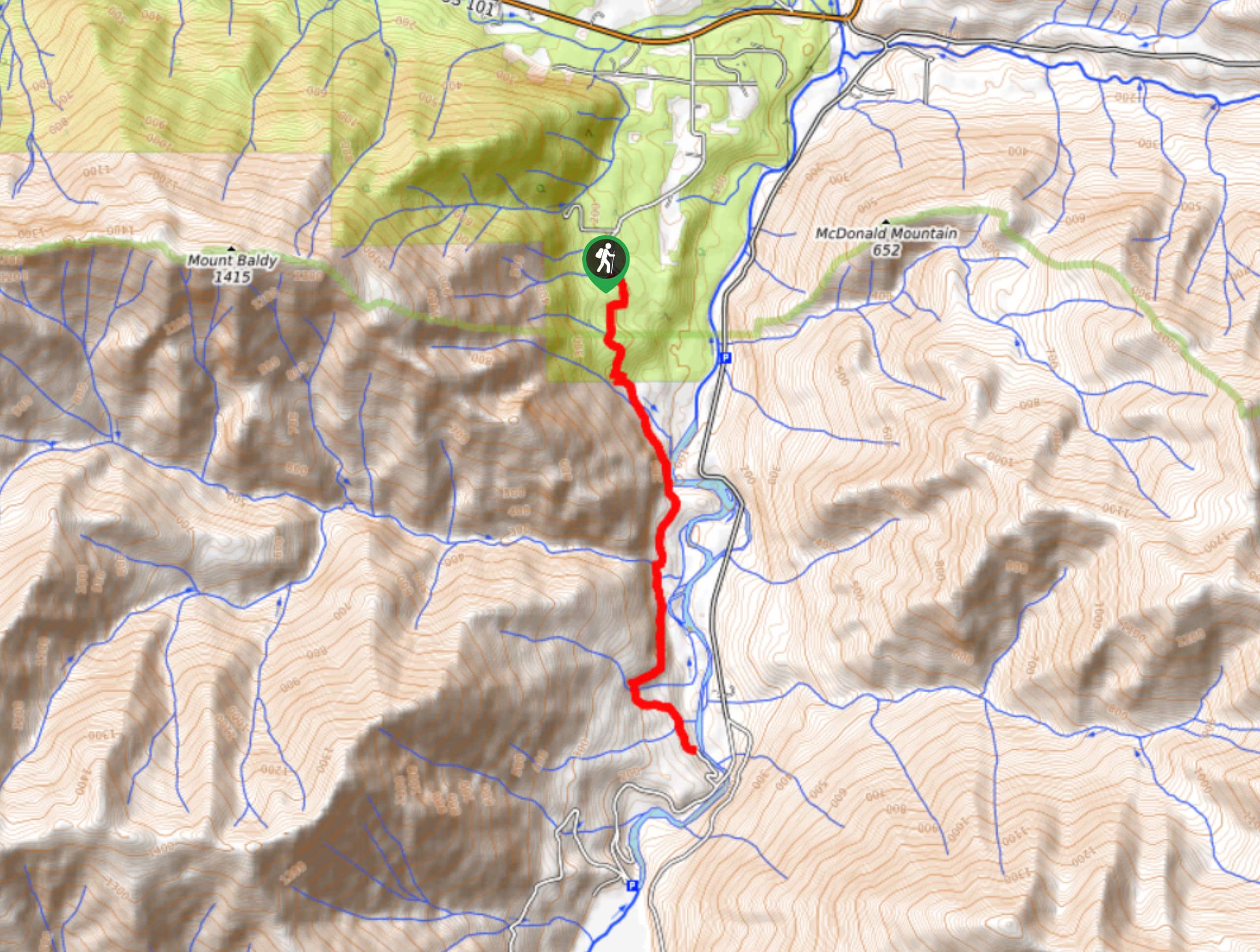
Handy Camp via Upper Dungeness Trail is a common choice for half-day hikers and new backpackers alike due to its moderate difficulty and its pretty scenery. You’ll walk through the forest alongside the idyllic Dungeness River for over 10km, gaining manageable elevation along the way. This trail is generally in good condition and is easy to follow.
Getting there
The trailhead for the hike to Handy Camp via Upper Dungeness Trail is off Forest Road 2870. There are facilities and parking here.
About
| Backcountry Campground | Handy Camp |
| When to do | May-October |
| Pets allowed | No |
| Family friendly | Yes |
| Route Signage | Average |
| Crowd Levels | Moderate |
| Route Type | Out and back |
Handy Camp via Upper Dungeness Trail
Elevation Graph
Weather
Handy Camp via Upper Dungeness Trail Description
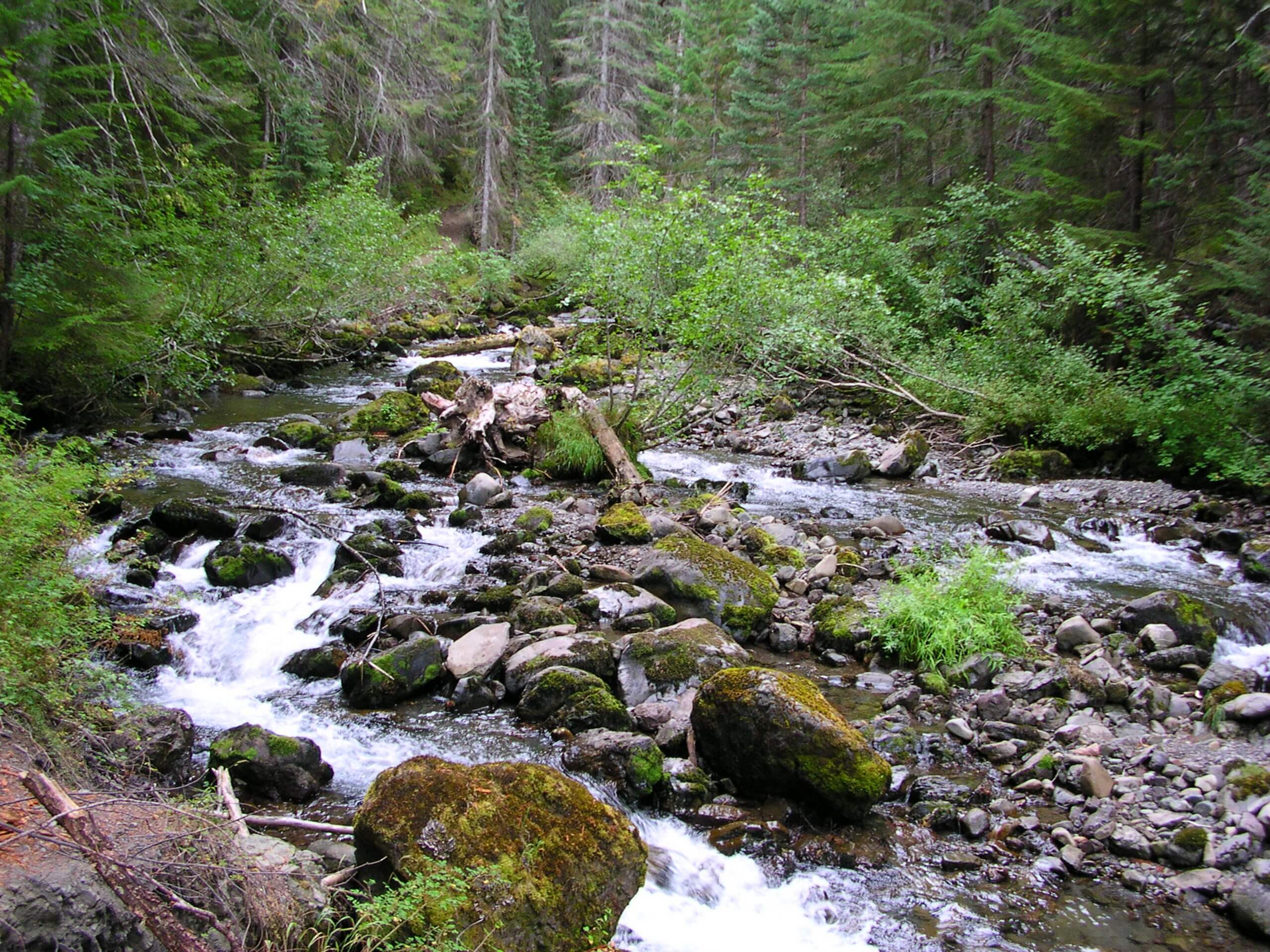
The hike to Handy Camp on Upper Dungeness Trail is a wonderful outing. It’s not too hard, it’s very scenic, and it can be utilized as either a half-day outing or the start of an easy backpacking trip. Enjoy strolling through the woods alongside the picturesque Dungeness River on this trail.
There are several good spots to access the river and even some excellent swimming holes. The river crossings are completed on sturdy log bridges. Camp Handy is in a beautiful meadow. Overall, expect a good day out!
Begin from the Upper Dungeness Trailhead, crossing to the north side of the river and turning left on the trail to begin hiking near the water. The trail eventually dips south, hugging the river.
At the junction with Goat Lake Way Trail, stay left and cross to the other side. From here, it’s not far from the meadow and Camp Handy. Either pitch your tent or turn around and retrace your steps to the trailhead.
Similar hikes to the Handy Camp via Upper Dungeness Trail hike

West Elwha River Trail
The West Elwha River Trail is a lovely moderate walk alongside the river to the Altair Campground and back. This…

Humes Ranch Loop Trail
Humes Ranch Loop Trail is a heavily trafficked loop hike in Olympic National Park. This trail is very beautiful and…

Mount Angeles via Switchback Trail
Mount Angeles via Switchback Trail is an exciting hike that starts out more gradual before ending with a fairly demanding…


Comments