

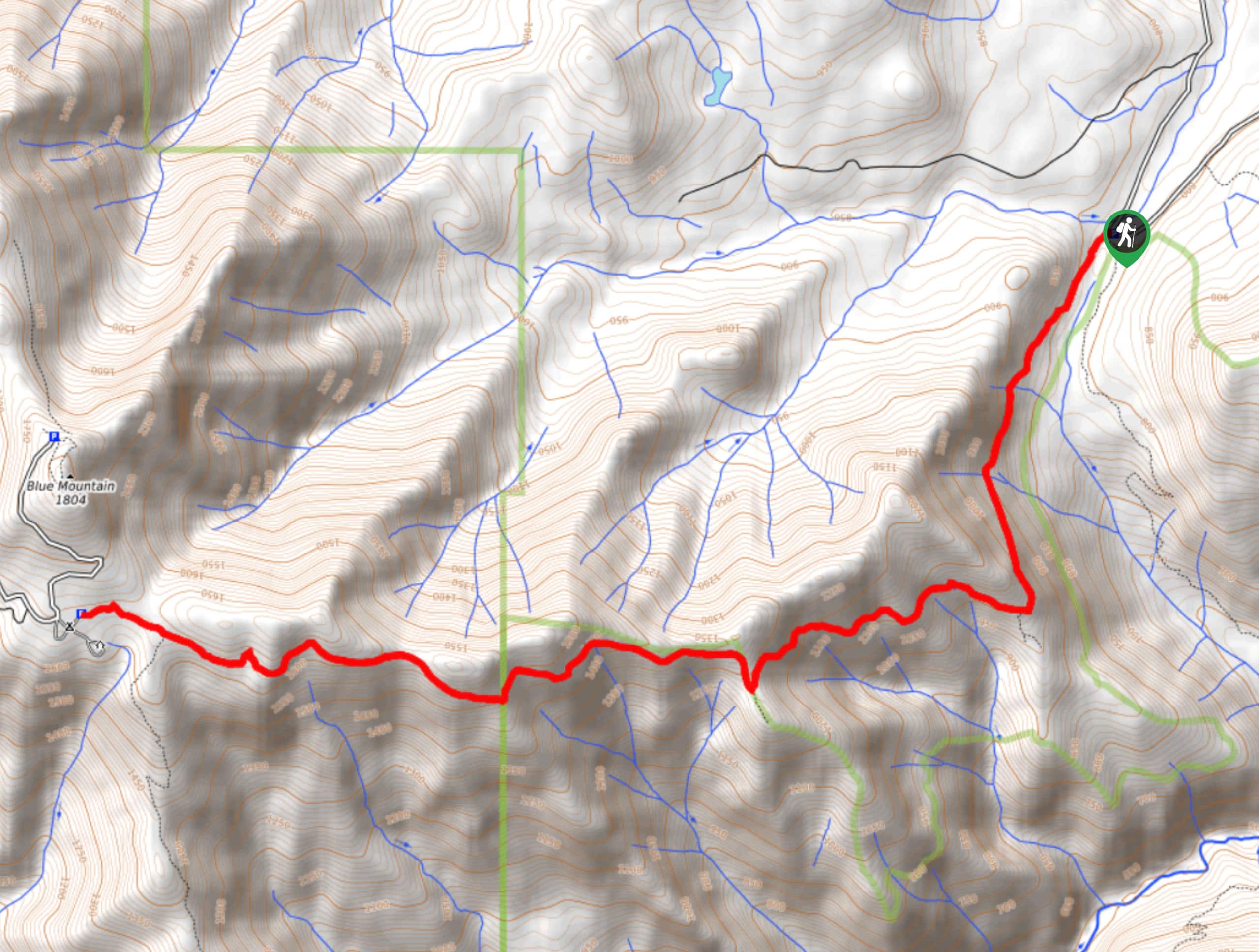
Deer Ridge Trail
View PhotosDeer Ridge Trail
Difficulty Rating:
Deer Ridge Trail is a hard hike packing 2953ft of elevation gain into a 9.2mi trail. This hike is generally easy to follow and the wildflowers in summer are beautiful. Although this trail begins in Olympic National Forest, it ends in Olympic National Park, so dogs are not allowed on the trail unless you turn around at the park boundary. The access road has some larger potholes, so drive carefully.
We recommend bringing poles to help on steep sections.
Getting there
The trailhead for Deer Ridge Trail is off Forest Road 2875.
About
| Backcountry Campground | Deer Park |
| When to do | March-October |
| Pets allowed | No |
| Family friendly | No |
| Route Signage | Average |
| Crowd Levels | Moderate |
| Route Type | Out and back |
Deer Ridge Trail
Elevation Graph
Weather
Deer Ridge Trail Description
Deer Ridge Trail offers peekaboo mountain views through the trees of Olympic National Forest, offering an enjoyable adventure on a fairly quiet trail. This route is in good shape but it is steep in sections, so poles are recommended. Watch for wildlife on this hike.
Begin from the trailhead, where you’ll take the path on your right. Follow Slab Camp Creek a short distance before slowly leaving the creek and climbing gradually up the valley wall.
Wrap around the base of the ridge in front of you, still slowly climbing alongside the ridge. You’ll then get up on top of the ridge before then dropping back down to its south side. Hugging this south side of the ridge, you’ll end your ascent at Deer Park Campground. From here, turn around and retrace your steps back to the trailhead when you’re ready.
Similar hikes to the Deer Ridge Trail hike
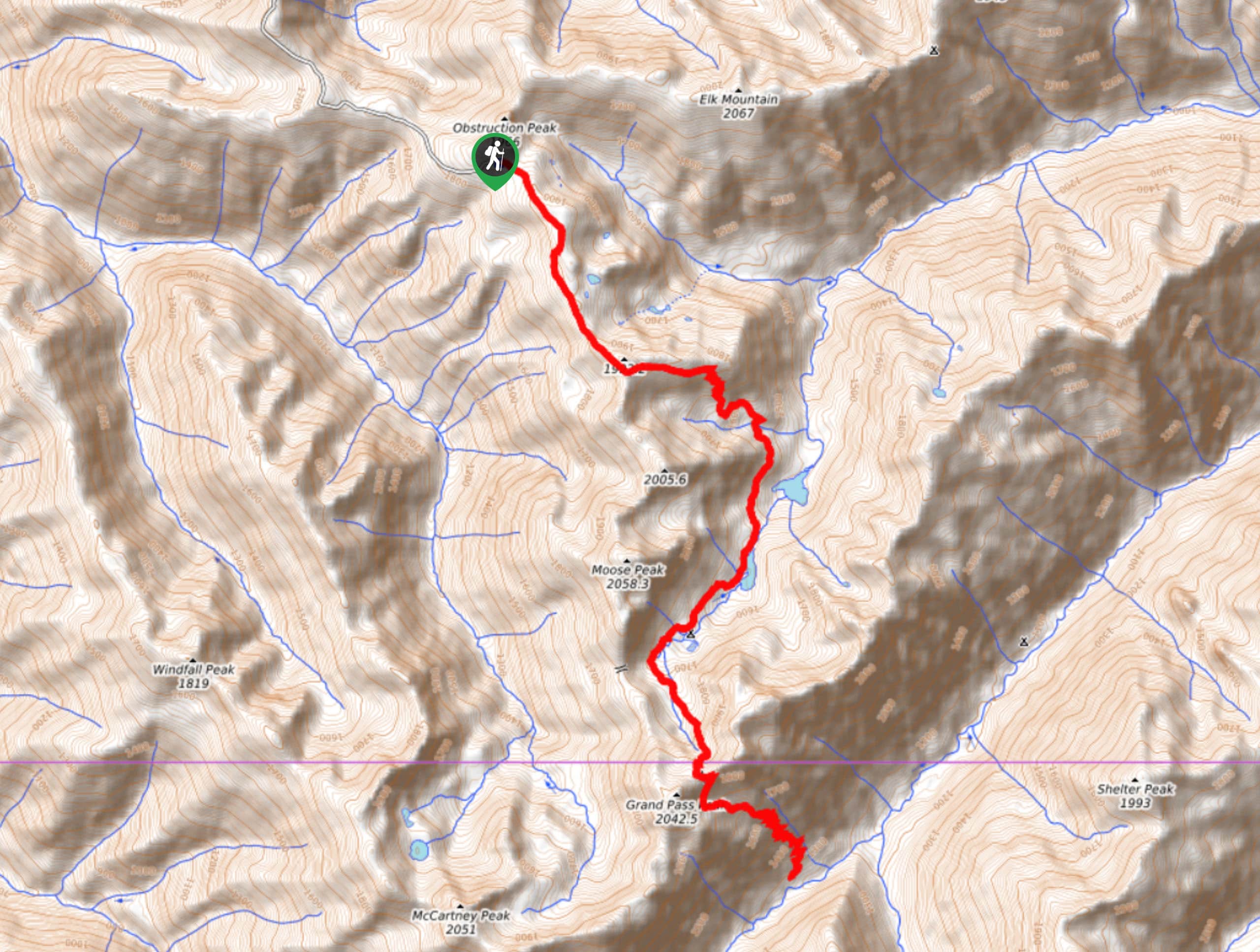
Grand Pass Trail
Grand Pass Trail is a beast of a day hike, with over 13.7mi to cover across varied, steep…
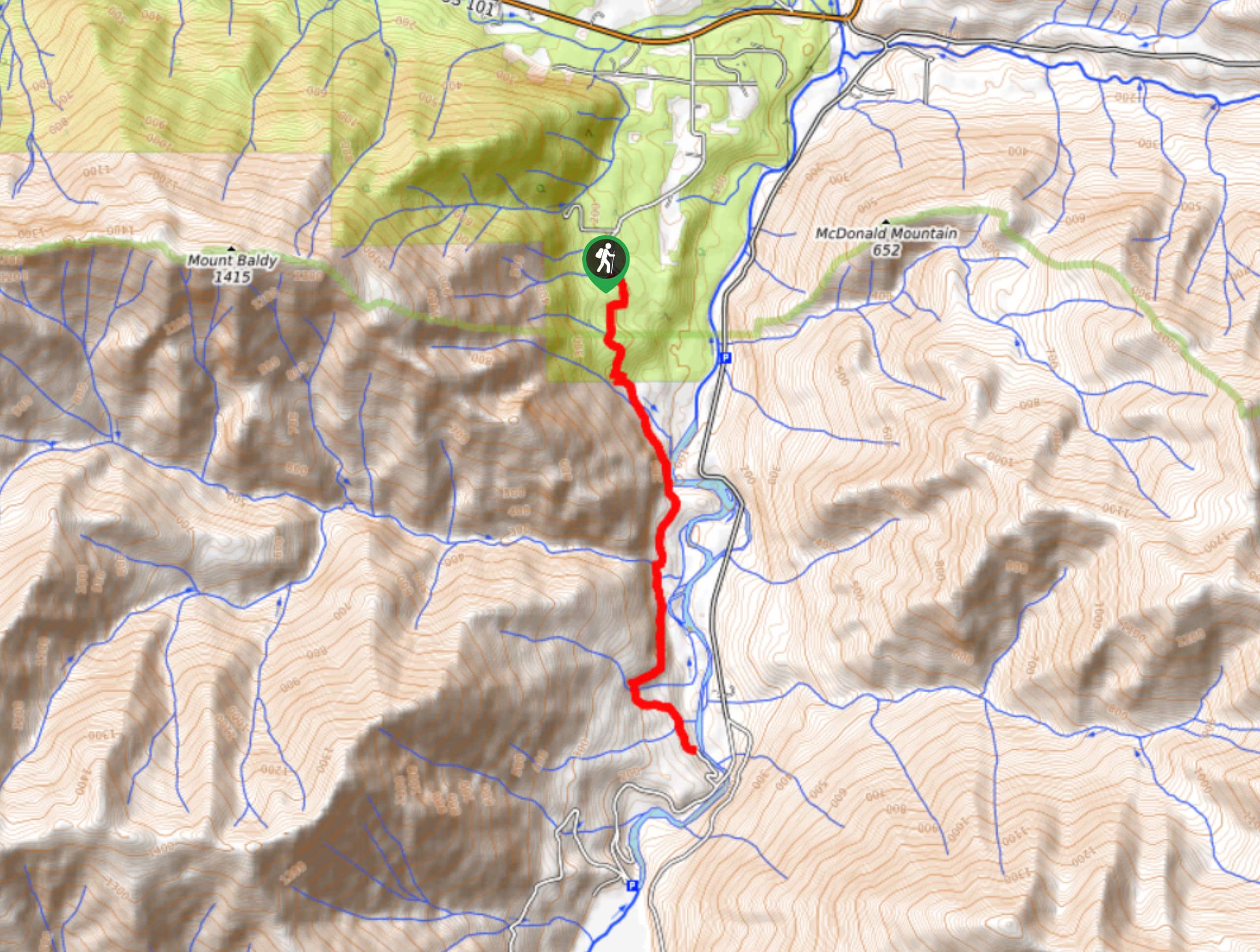
West Elwha River Trail
The West Elwha River Trail is a lovely moderate walk alongside the river to the Altair Campground and back. This…
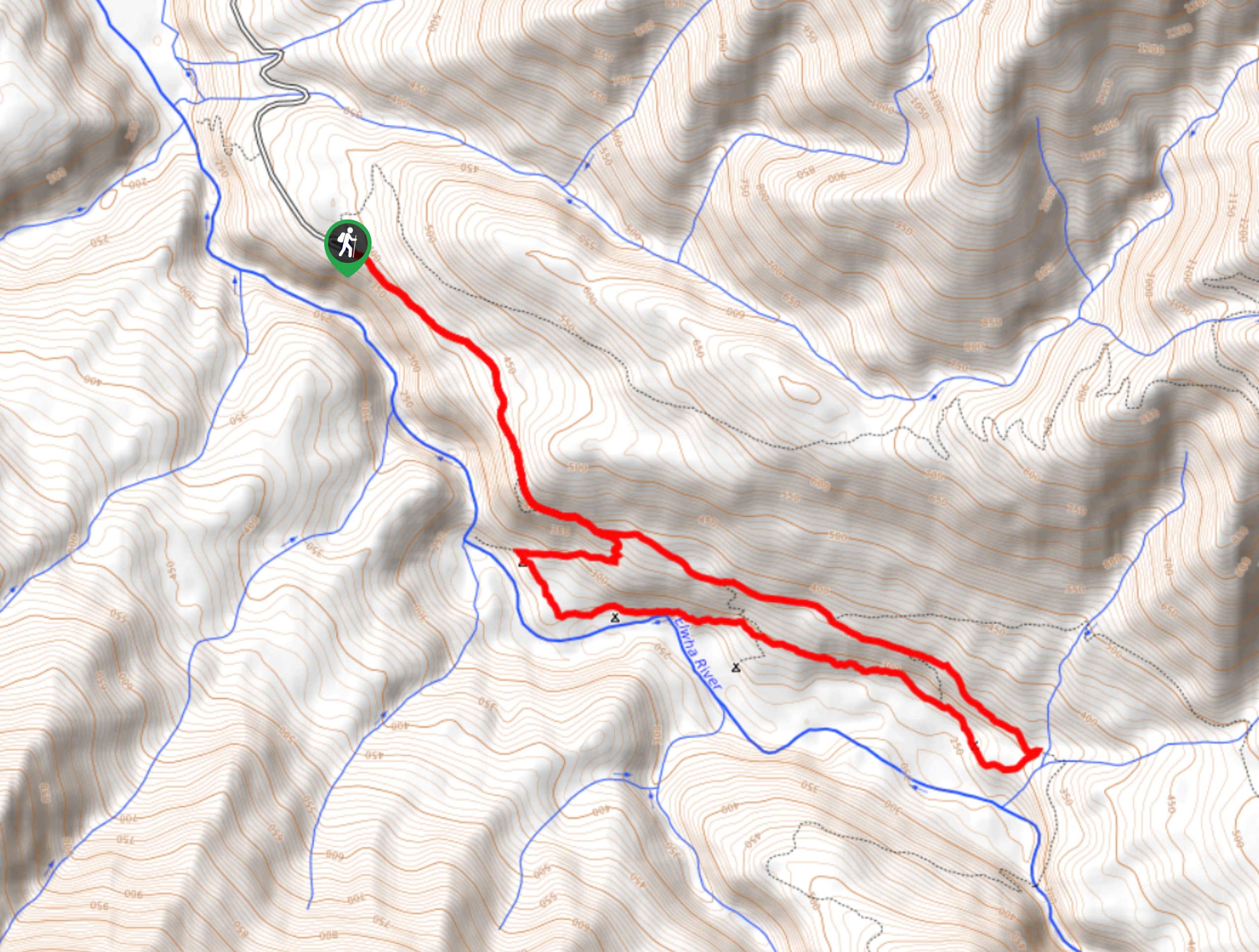
Humes Ranch Loop Trail
Humes Ranch Loop Trail is a heavily trafficked loop hike in Olympic National Park. This trail is very beautiful and…


Comments