

Rose Valley Lake Loop
View PhotosRose Valley Lake Loop
Difficulty Rating:
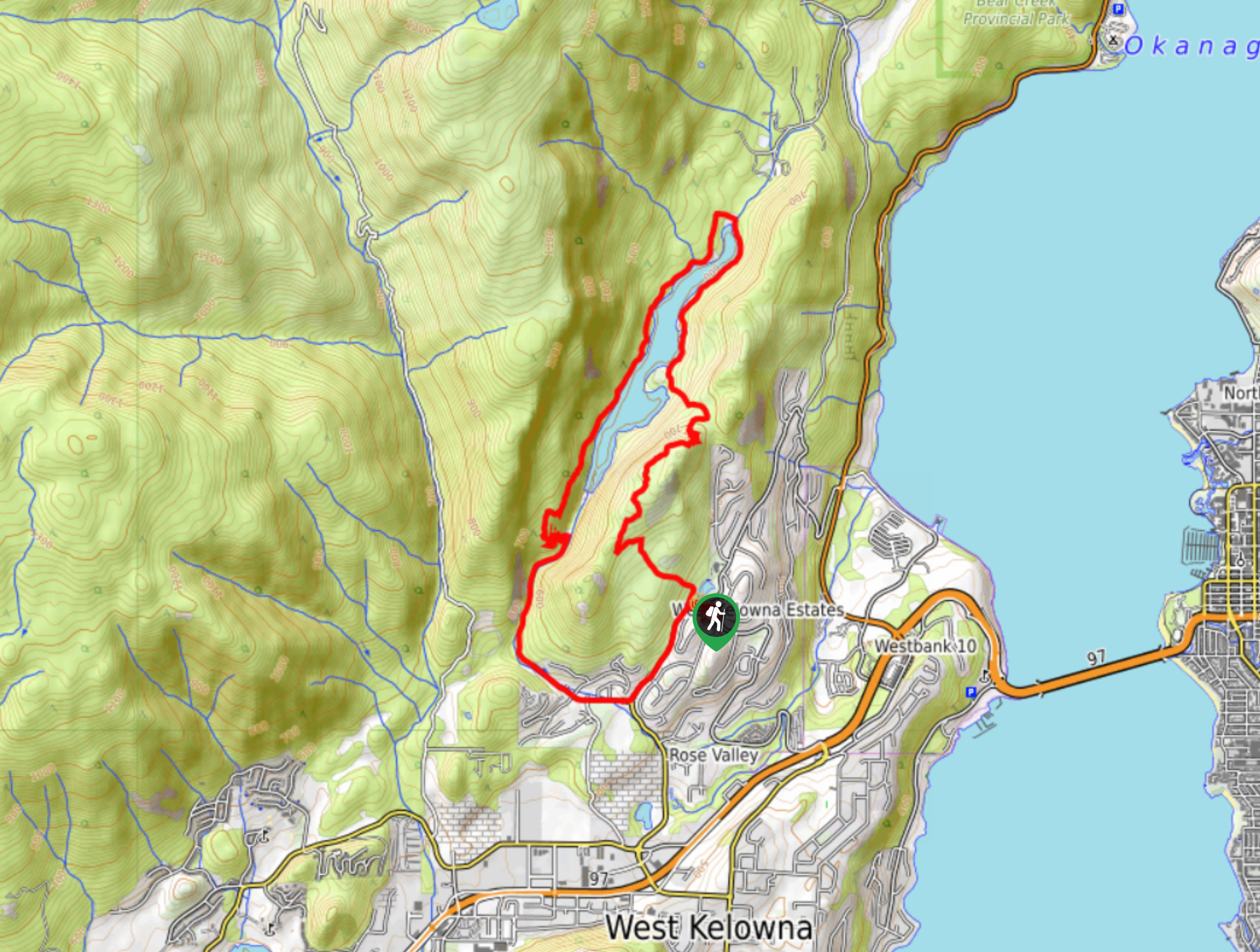
The Rose Valley Lake Loop carries you around the entire lake, offering a reel of quintessential Okanagan Valley vistas throughout! This 8.0mi circuit will definitely keep your eyes entertained and your heart pumping! You can do this hike year-round, but come prepared with proper footwear and gear for some super icy and snowy sections.
Getting there
To get to Rose Valley Lake Loop from Kelowna, BC, head towards Harvey Ave/Okanagan Hwy/BC-97 S until you reach Horizon Drive, where you will take a right. After 2.1mi, turn left onto Westlake Road, and you’ll see your destination on the right within 656ft of driving.
About
| When to do | Year round |
| Backcountry Campsites | No |
| Pets allowed | Yes - On Leash |
| Family friendly | Older Children only |
| Route Signage | Poor |
| Crowd Levels | Moderate |
| Route Type | Circuit |
Rose Valley Lake Loop
Elevation Graph
Weather
Rose Valley Lake Loop Description
The Okanagan Valley’s Rose Valley Lake Loop hike circumnavigates Rose Valley Lake, providing top-notch lakeside views. Expect to wind above the lake at points, where a bird’s eye perspective of the lake nestled in the valley awaits! However, the networks of trails etched across Rose Valley Regional Park can make this hike a little confusing. Therefore, it’s best to download a GPS before you go.
If you plan on doing this hike in winter, bring ice cleats or crampons and poles to help ease the difficulty of traversing snowy and icy terrain.
Similar hikes to the Rose Valley Lake Loop hike
Okanagan Mountain Hike
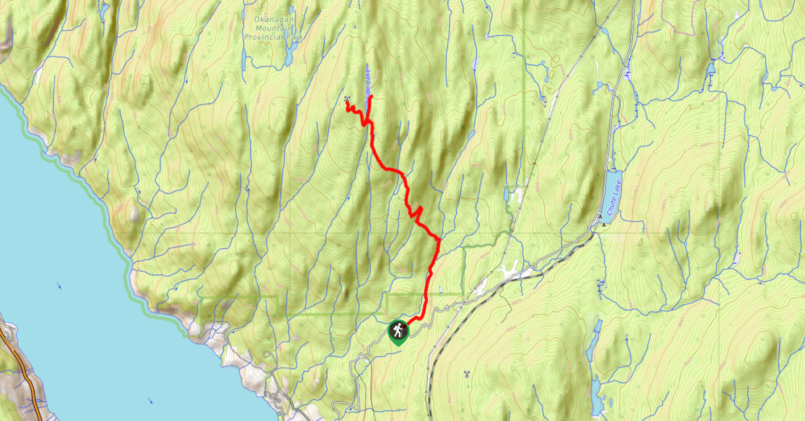
The Okanagan Mountain Hike is an incredible backcountry hike that gets your heart pumping, unveiling a reel of views en…
Glen Canyon Greenway Trail
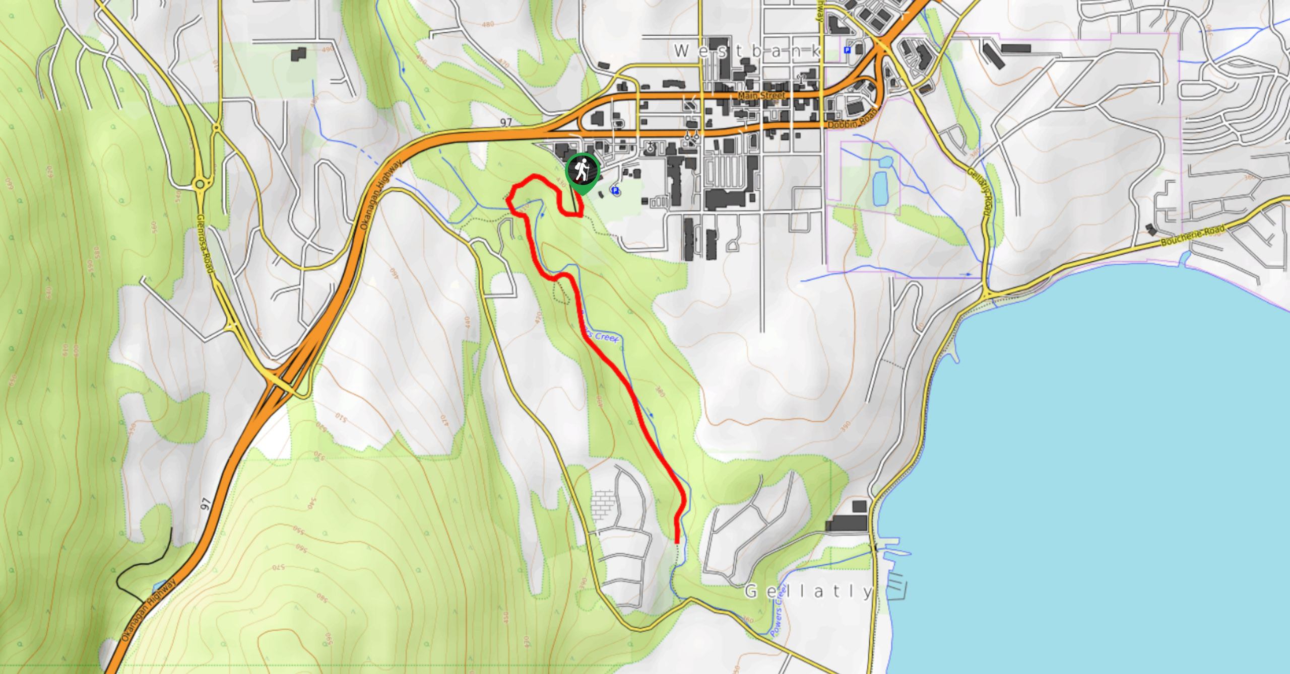
The Glen Canyon Greenway Trail, located in West Kelowna, is a family-friendly hike that blends flat, easy-going terrain with more…
Blue Grouse Mountain Hike
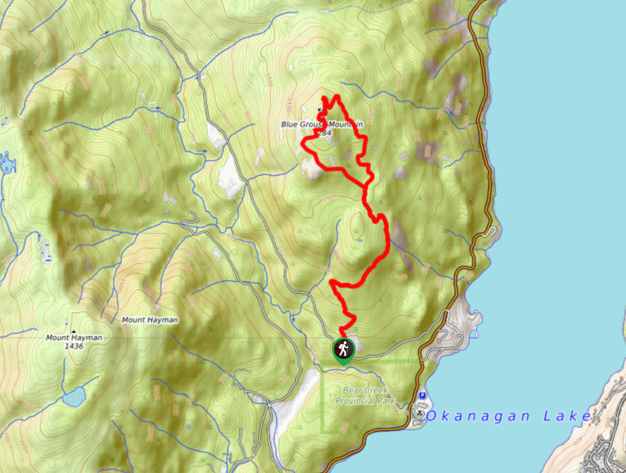
The Blue Grouse Mountain Hike near Kelowna, BC, is a challenging hike that carries you up a steep ascent to…


Comments