

Peachland Waterfront Hike
View PhotosPeachland Waterfront Hike
Difficulty Rating:
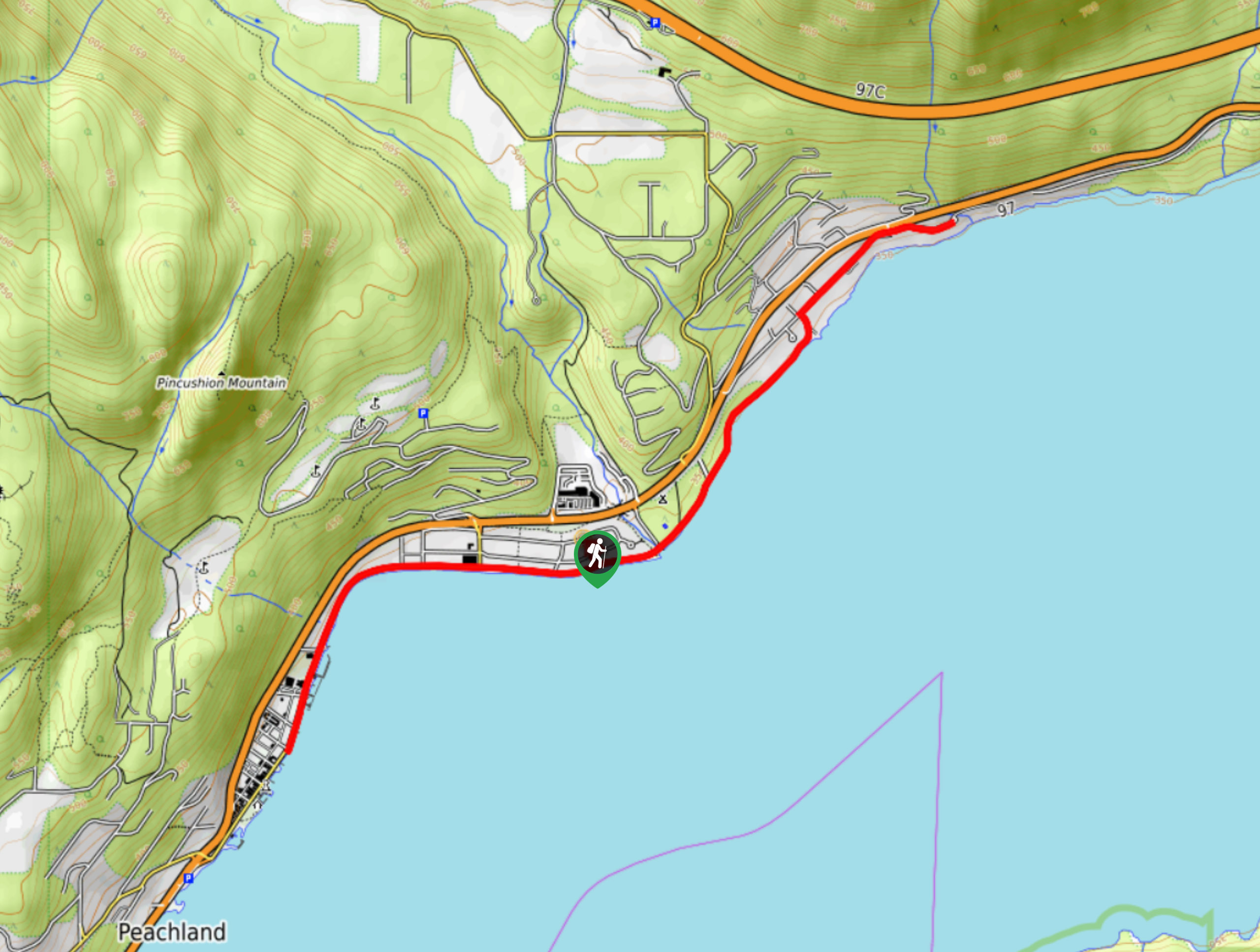
The Peachland Waterfront Hike is a scenic walk, flanked by the Okanagan Lake on one side and restaurants, cafes, and shops on the other, making it possible to pause your walk and enjoy some snacks or a coffee. This kid-friendly hike follows a well-maintained path with little elevation gain!
Getting there
To get to the start of the Peachland Waterfront Hike, head to San Clemente Avenue and find parking along here. Once you’ve parked, head towards the water to start your walk.
About
| When to do | May-October |
| Backcountry Campsites | No |
| Pets allowed | Yes - On Leash |
| Family friendly | Yes |
| Route Signage | Average |
| Crowd Levels | Low |
| Route Type | Out and back |
Peachland Waterfront Hike
Elevation Graph
Weather
Peachland Waterfront Hike Description
The Peachland Waterfront Hike in the Okanagan Valley is a lightly-trafficked family-friendly walk that follows a well-maintained path flanked by the shimmering Okanagan Lake on one side and restaurants and shops on the other. The GPS takes you to the middle of the walk, requiring you to veer left or right (your choice) along Centennial Way, the path adjacent to Beach Avenue. If you go right first, turn around where Beach Avenue meets 4th Street and head back the way you came. You can stop your hike here or continue past the trailhead to complete the 5.6mi walk. Going the other direction, Centennial Way eventually merges with Beach Ave, which then becomes Buchanan Road. Turn around and head back the way you came once you reach Robinson Place.
Similar hikes to the Peachland Waterfront Hike hike
Glen Canyon Greenway Trail
The Glen Canyon Greenway Trail, located in West Kelowna, is a family-friendly hike that blends flat, easy-going terrain with more…
Myra Bellevue Trail
The Myra Bellevue Trail takes you around a wide loop, granting far-away unveilings of Okanagan Lake nestled at the forefront…
Denison Lake Trail
When summer rolls around, the Okanagan Valley’s scorching hot weather propels most to flock to the beaches, but why not…



Comments