

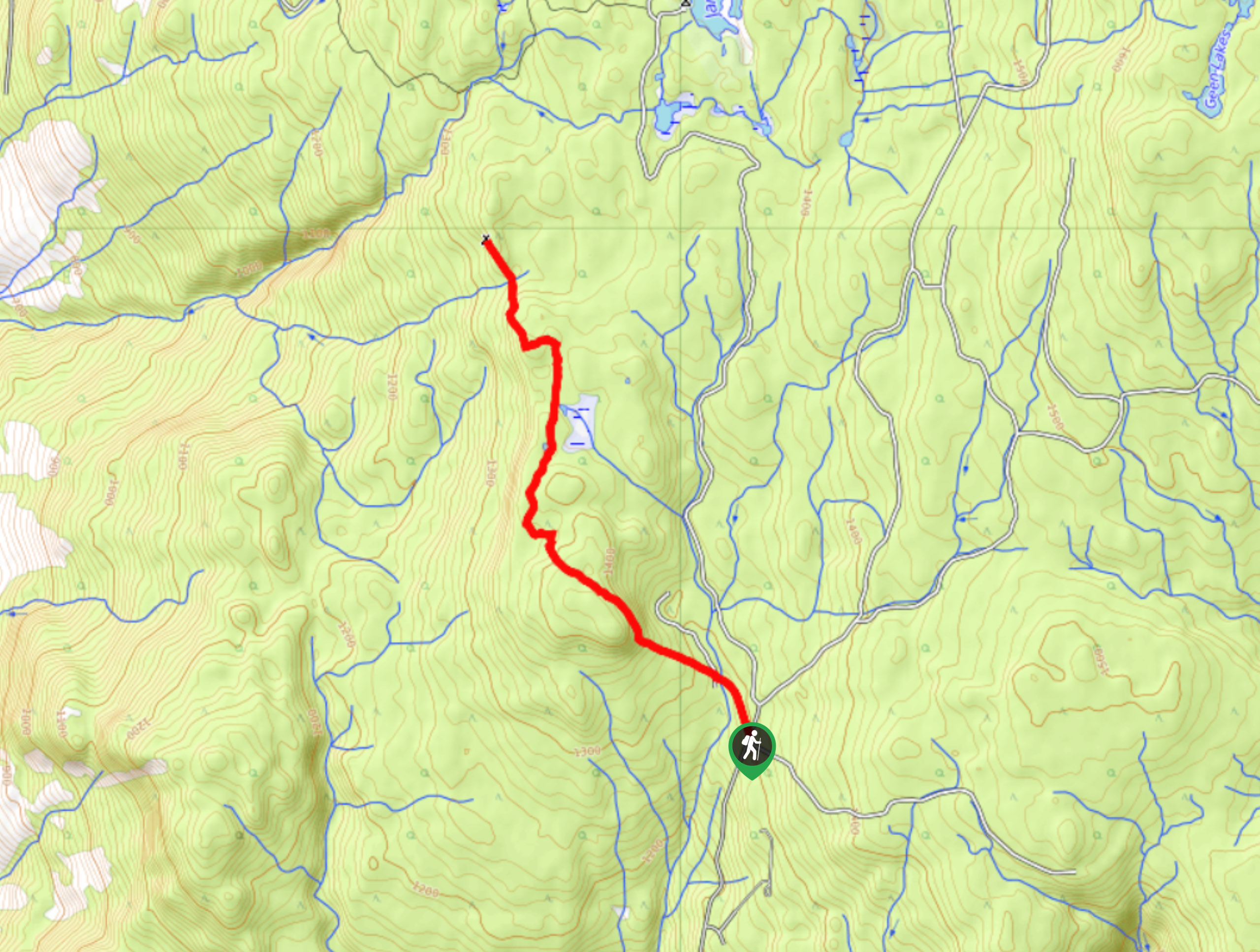
Okanagan High Rim Trail
View PhotosOkanagan High Rim Trail
Difficulty Rating:
The Okanagan High Rim Trail is a fun 34.2mi backpacking route that travels from Kelowna to Vernon, but this route guide highlights one 7.5mi section of this awesome trek! The backcountry Grandview Campsite also makes it possible to turn this easy-moderate hike into a fun overnight outing.
Getting there
To get to the trailhead for this section of the Okanagan High Rim Trail, head towards Kelowna-Rock Creek Hwy/BC-33. You’ll see signs for Rock Creek! After 7.6mi, take a slight left onto Goudie Road and continue for 2.0mi before turning left to stay on the same road. 2.2mi later, take a left onto James Lake Forest Service Road. Note: you may have some difficulty accessing the trailhead during winter, requiring you to park your car at the end of the maintained road and walk to the start of the hike.
About
| When to do | Year round |
| Backcountry Campsites | Grandview Campsite |
| Pets allowed | Yes - On Leash |
| Family friendly | Older Children only |
| Route Signage | Poor |
| Crowd Levels | Moderate |
| Route Type | Out and back |
Okanagan High Rim Trail
Elevation Graph
Weather
Okanagan High Rim Trail Description
The Okanagan High Rim Trail is typically a 34.2mi backpacking route winding from Kelowna to Vernon, but this route guide takes you on just 7.5mi of the Okanagan Rim Trail. This particular section follows an easy path and through a forest until you reach a lovely view of Kelowna. It’s a great way to get exercise and get outside!
Similar hikes to the Okanagan High Rim Trail hike
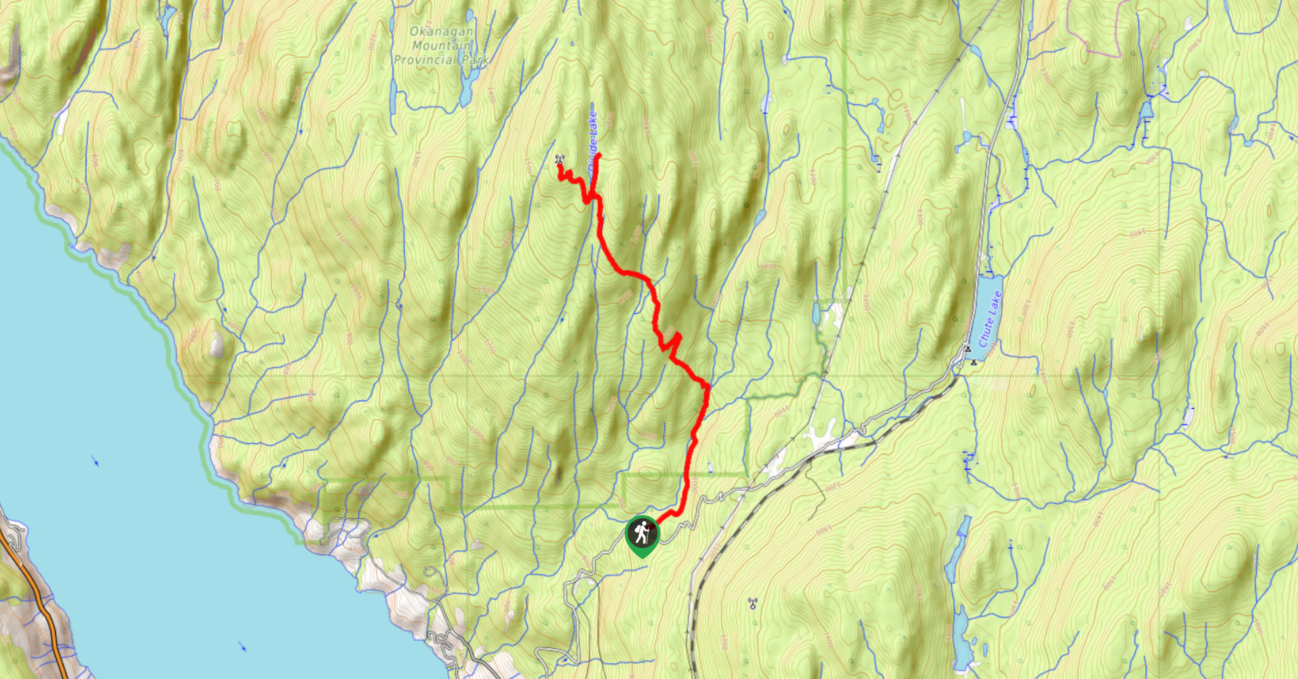
Okanagan Mountain Hike
The Okanagan Mountain Hike is an incredible backcountry hike that gets your heart pumping, unveiling a reel of views en…
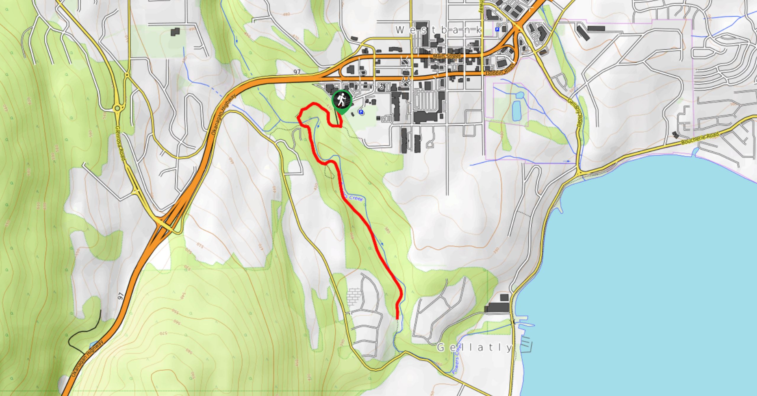
Glen Canyon Greenway Trail
The Glen Canyon Greenway Trail, located in West Kelowna, is a family-friendly hike that blends flat, easy-going terrain with more…
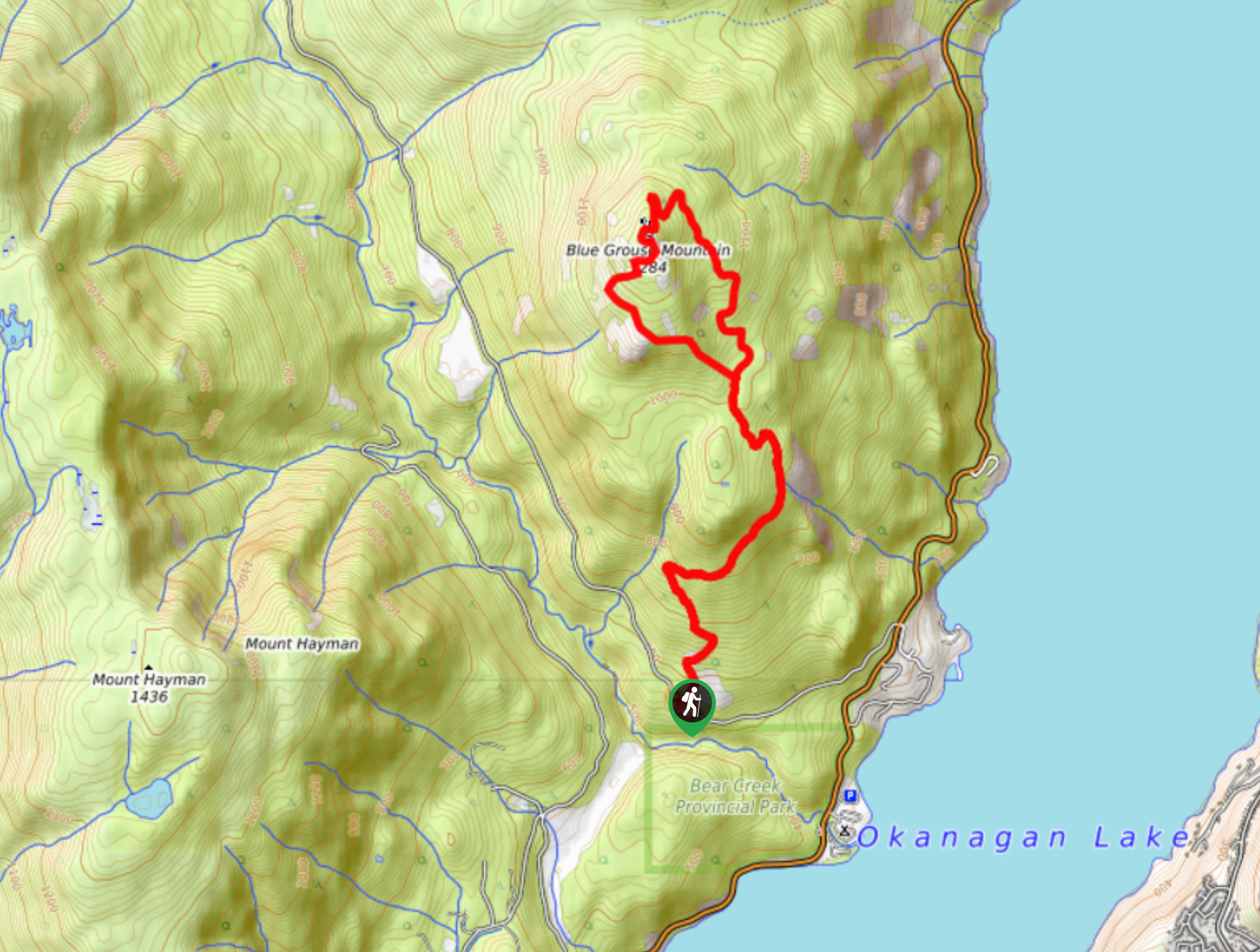
Blue Grouse Mountain Hike
The Blue Grouse Mountain Hike near Kelowna, BC, is a challenging hike that carries you up a steep ascent to…


Comments