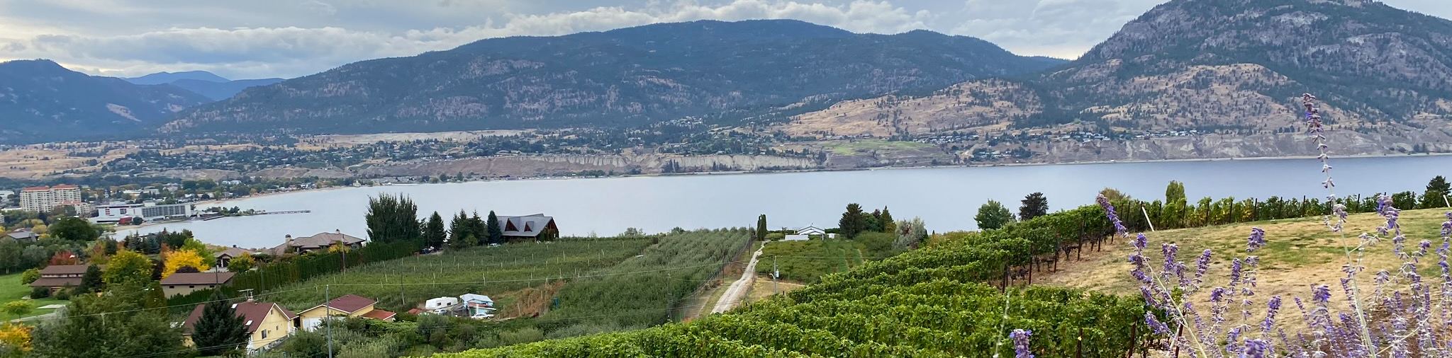
Naramata Creek Falls Hike
View Photos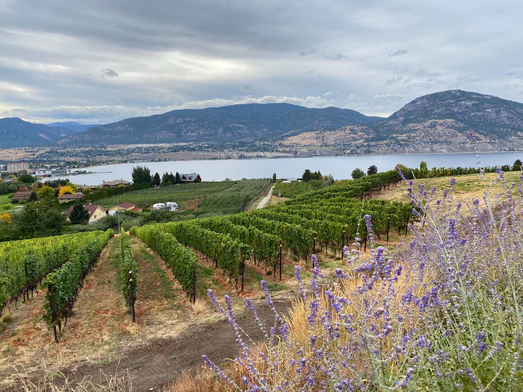
Naramata Creek Falls Hike
Difficulty Rating:
The Naramata Creek Falls Hike winds through a thick forested area along a semi-maintained trail that forces you to cross the creek two times en route to the roaring waterfall. You can take kids on this hike, but there are few hindrances peppering this trail worth noting, such as poison ivy and roots.
Getting there
To get to Naramata Creek Falls Hike from Penticton, head towards Naramata Road and continue driving for 5.7mi before turning right onto Arawana Road. After 1476ft, take a left onto Debeck and stay on this road for 886ft. Turn left onto Upper Debeck Road for 1312ft before turning right to stay on the same road. You’ll see the parking lot on your right.

About
| When to do | Year round |
| Backcountry Campsites | No |
| Pets allowed | Yes - On Leash |
| Family friendly | Yes |
| Route Signage | Poor |
| Crowd Levels | High |
| Route Type | Out and back |
Naramata Creek Falls Hike
Elevation Graph
Weather
Naramata Creek Falls Hike Description
The Naramata Creek Falls Hike is a short hike that follows a semi-maintained path to massive waterfalls soaring over boulders, surrounded by greenery. The trail takes you over bridges and forces you to do two creek crossings before the waterfalls emerge into view. Another thing to note is that there have been bear and rattlesnake sightings along this trail! You also need to look out for roots and poison ivy along the path.
From the parking lot, you’ll notice that the trail runs adjacent to Naramata Creek. Just after 1640ft of walking, the trail starts to travel uphill. Keep left here! Around 656ft later, you’ll take a left towards the intimidating falls. Get ready to pull out your cameras and start snapping away. Once you’re finished admiring this natural wonder, turn around and head back the way you came.
Similar hikes to the Naramata Creek Falls Hike hike
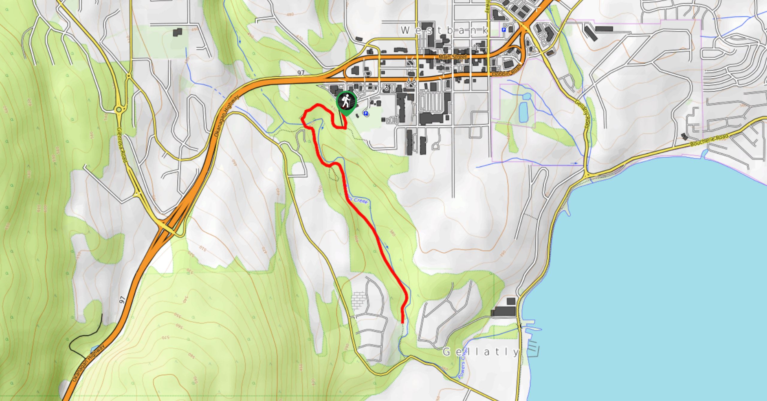
Glen Canyon Greenway Trail
The Glen Canyon Greenway Trail, located in West Kelowna, is a family-friendly hike that blends flat, easy-going terrain with more…
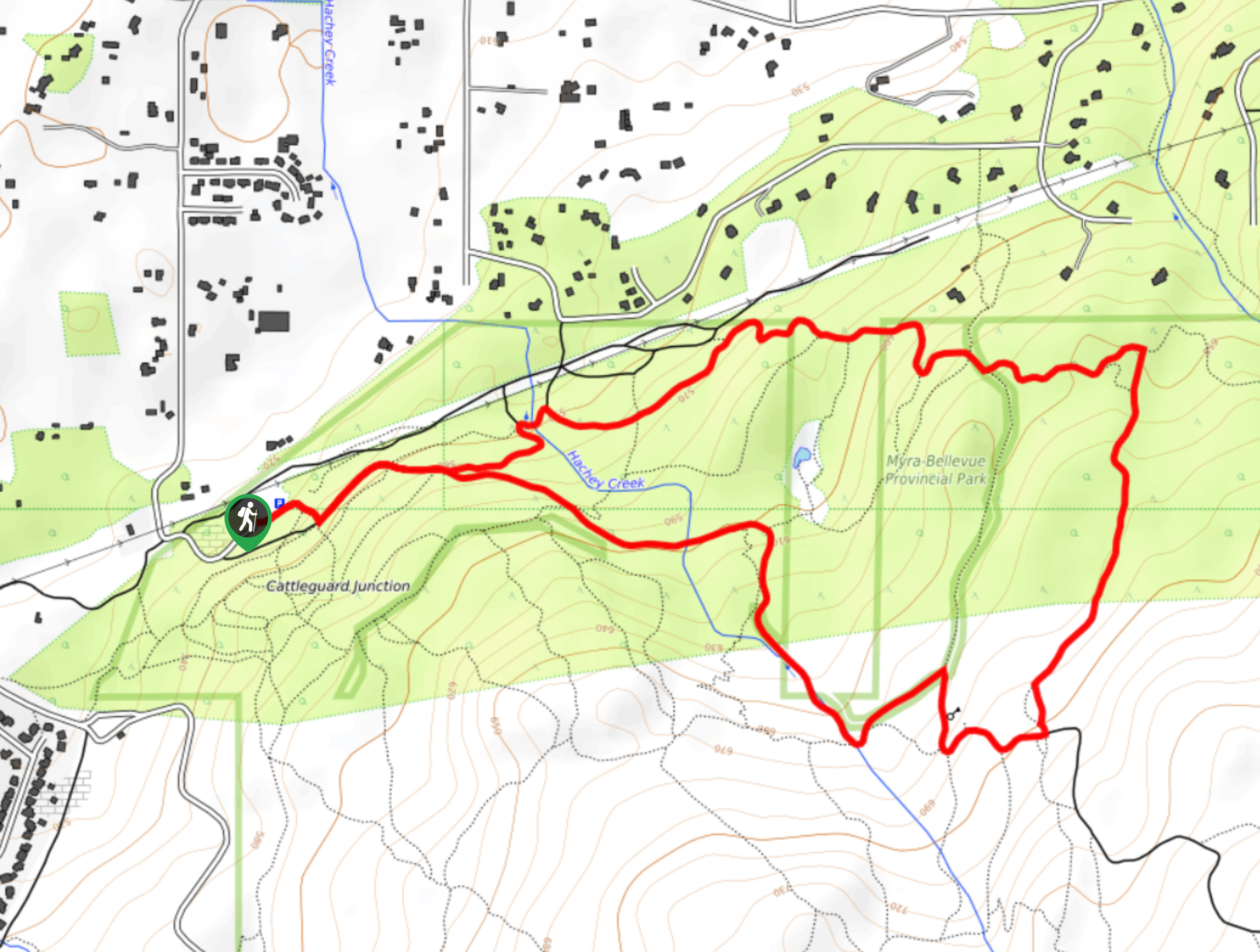
Myra Bellevue Trail
The Myra Bellevue Trail takes you around a wide loop, granting far-away unveilings of Okanagan Lake nestled at the forefront…
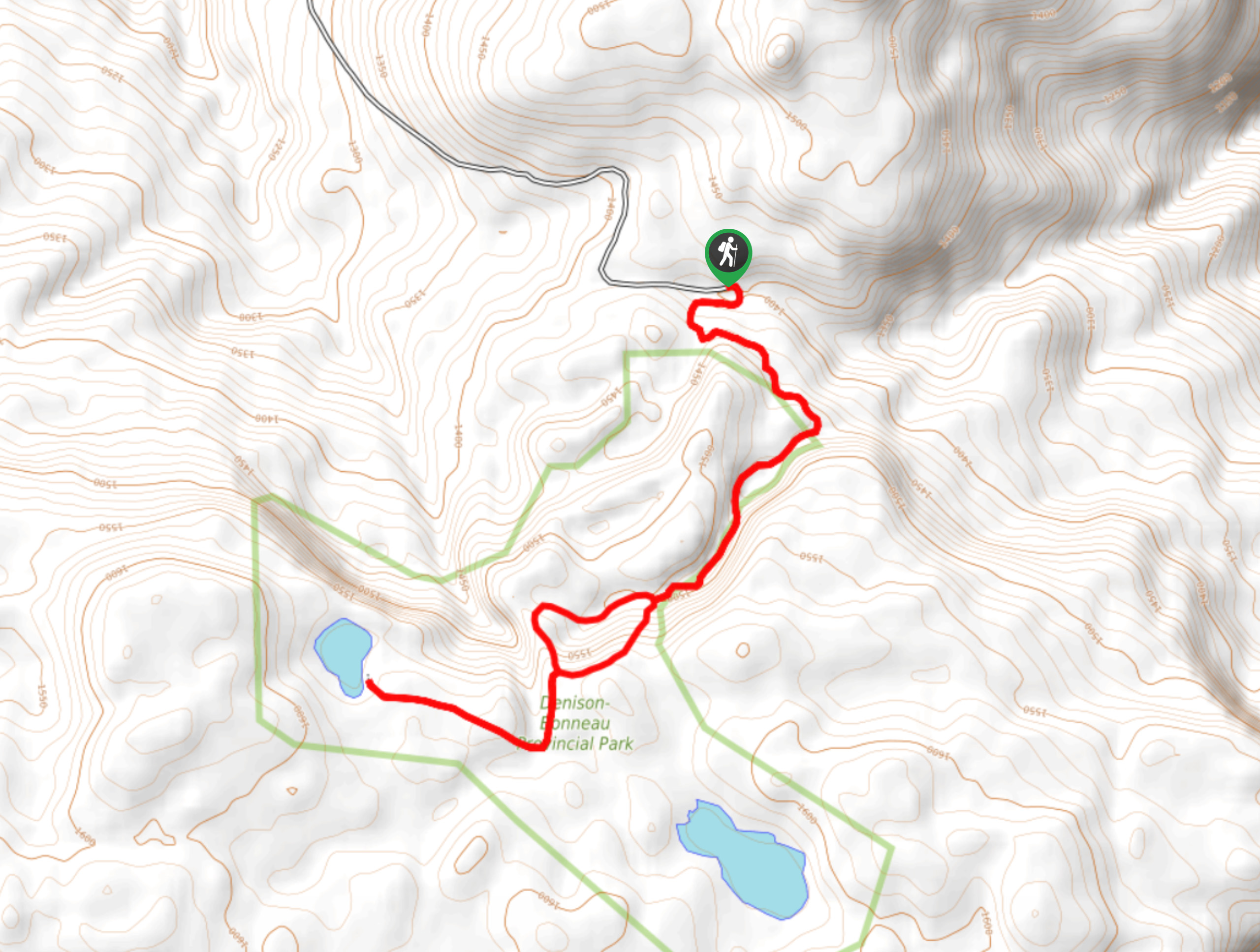
Denison Lake Trail
When summer rolls around, the Okanagan Valley’s scorching hot weather propels most to flock to the beaches, but why not…
Comments