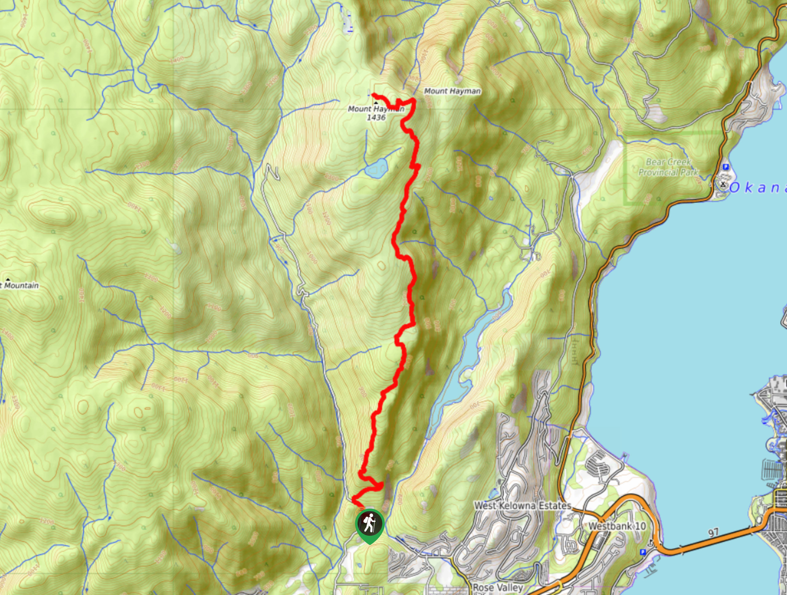
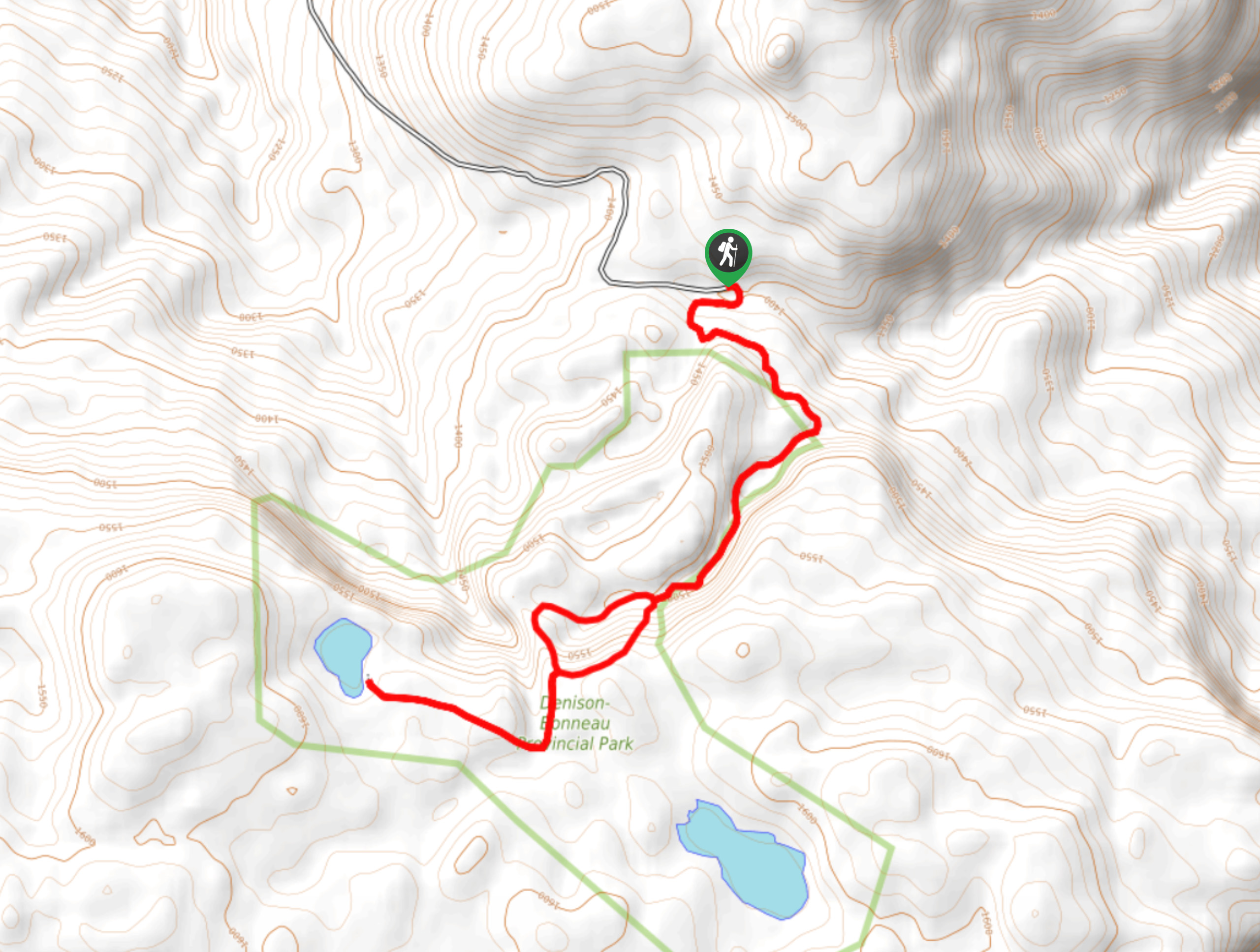
Mount Hayman via McDougall Rim Trail
View Photos
Mount Hayman via McDougall Rim Trail
Difficulty Rating:
Mount Hayman via McDougall Rim Trail is a phenomenal out-and-back route that challenges but rewards with the ultimate jackpot of Okanagan Valley views. When the trees dotting the path open up, catch a glimpse of Okanagan Lake cradled by the rolling hills and hugged by Kelowna’s sprawling metropolis. The pinnacle of this hike gives you a chance to see deep into the horizon!
Getting there
To reach the trailhead for the Mount Hayman via McDougall Rim Trail from Kelowna, BC, follow BC-97 S until you reach Bartley Road. Turn right here and drive for 1148ft before taking a left onto Shannon Lake Road. After another 1148ft, turn right onto Bartley Road, where you’ll find your destination on the right.

About
| When to do | Year round |
| Backcountry Campsites | No |
| Pets allowed | Yes - On Leash |
| Family friendly | No |
| Route Signage | Poor |
| Crowd Levels | Low |
| Route Type | Out and back |
Mount Hayman via McDougall Rim Trail
Elevation Graph
Weather
Mount Hayman via McDougall Rim Trail Description
Mount Hayman via McDougall Rim Trail is a demanding hike that leads to one of the Okanagan Valley’s best vantage points. From the top, you’ll get an in-depth look into the never-ending horizon, sketched with rolling hills, Kelowna’s stretching cityscape, and, of course, the incredibly scenic Okanagan Lake. You’ll follow the McDougall Rim Trail to Mount Hayman, but the actual trailhead takes some route finding, so be sure to download a map or GPS before going. This trail also doubles as a great snowshoeing or winter hiking route, but do know that fresh snow makes the trail a little more challenging to find!
Similar hikes to the Mount Hayman via McDougall Rim Trail hike
Okanagan Mountain Hike
The Okanagan Mountain Hike is an incredible backcountry hike that gets your heart pumping, unveiling a reel of views en…
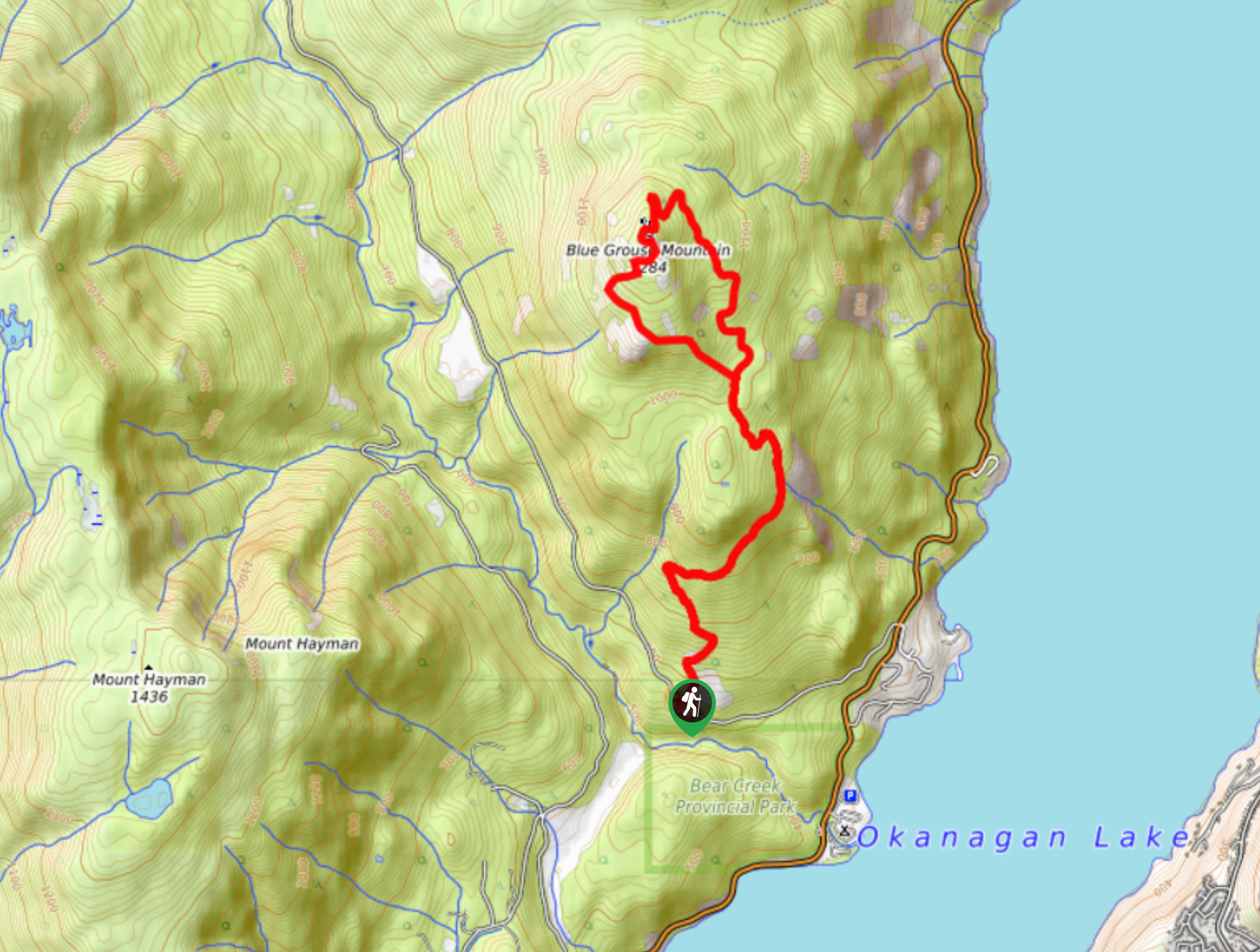
Blue Grouse Mountain Hike
The Blue Grouse Mountain Hike near Kelowna, BC, is a challenging hike that carries you up a steep ascent to…
Denison Lake Trail
When summer rolls around, the Okanagan Valley’s scorching hot weather propels most to flock to the beaches, but why not…
Comments