

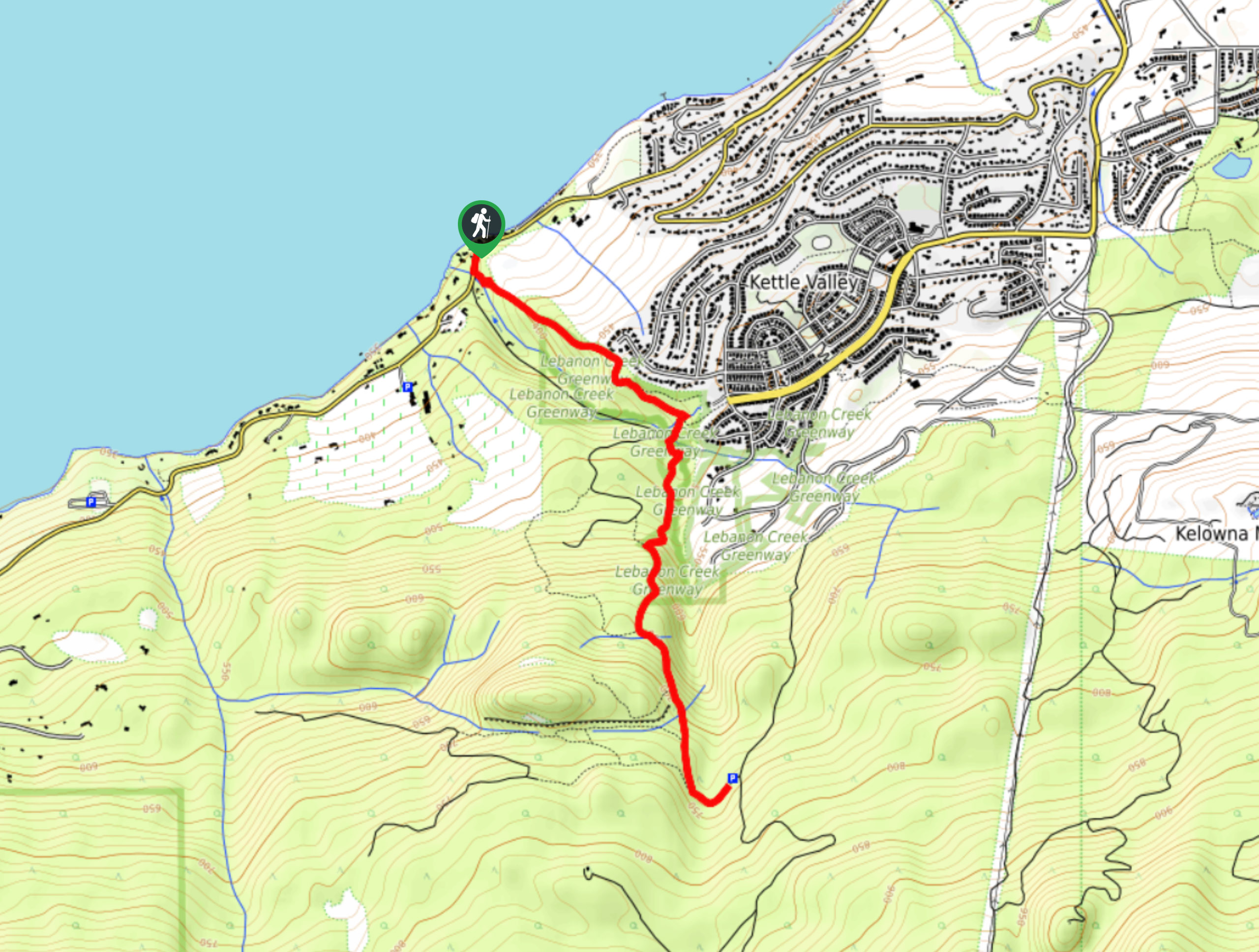
Lebanon Creek Trail
View PhotosLebanon Creek Trail
Difficulty Rating:
Kelowna’s Lebanon Creek Trail is a fantastic alternative to the more crowded and favoured Knox Mountain and Mount Boucherie. This hike propels a quicker heart rate while taking you to stunning up-high perspectives of the Okanagan Lake glistening below.
Getting there
To get to Lebanon Creek Trail from Kelowna, head to Lakeshore Road. When you reach the roundabout, continue straight to stay on the same road. Do the same at the following roundabout. After 2625ft, take a right to stay on Lakeshore Road, and your destination will appear on the left.
About
| When to do | Year round |
| Backcountry Campsites | No |
| Pets allowed | Yes - On Leash |
| Family friendly | Older Children only |
| Route Signage | Average |
| Crowd Levels | Low |
| Route Type | Out and back |
Lebanon Creek Trail
Elevation Graph
Weather
Lebanon Creek Trail Description
The Lebanon Creek Trail located in the Okanagan Valley is an easy-to-follow, lightly trafficked hike that winds to a stunning view of Okanagan Lake sketched into the landscape below. This hike ranks as slightly harder than the more popular Mount Boucherie and Knox Mountain but still takes you to a similar bird’s eye view of the lake. However, if you’re a tourist, stopping in Kelowna for a short time, look towards Mount Boucherie or Knox Mountain before doing this one. This route is more tailored for locals seeking an alternate route to the same old trails carved throughout the Okanagan Valley.
Similar hikes to the Lebanon Creek Trail hike
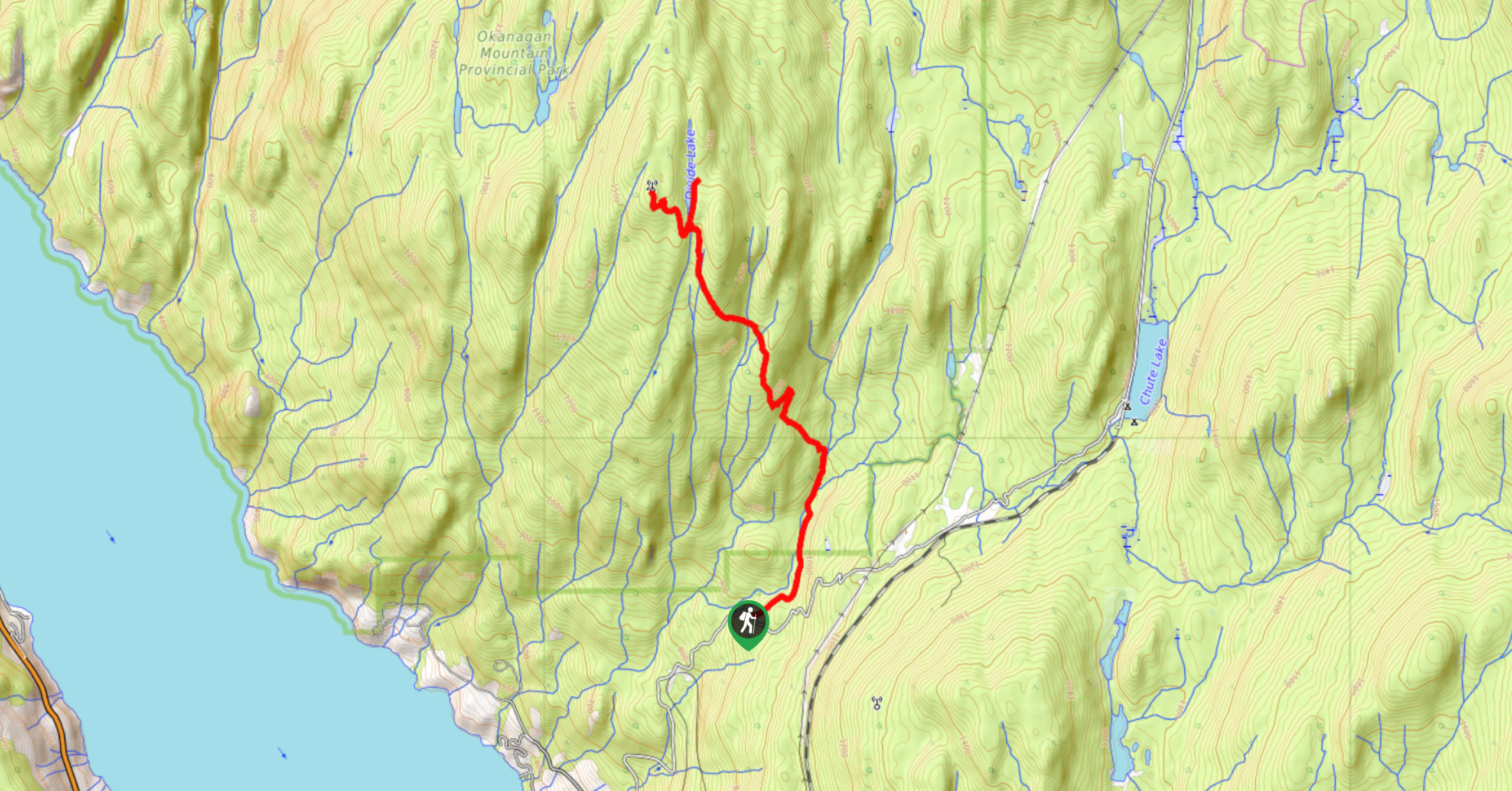
Okanagan Mountain Hike
The Okanagan Mountain Hike is an incredible backcountry hike that gets your heart pumping, unveiling a reel of views en…
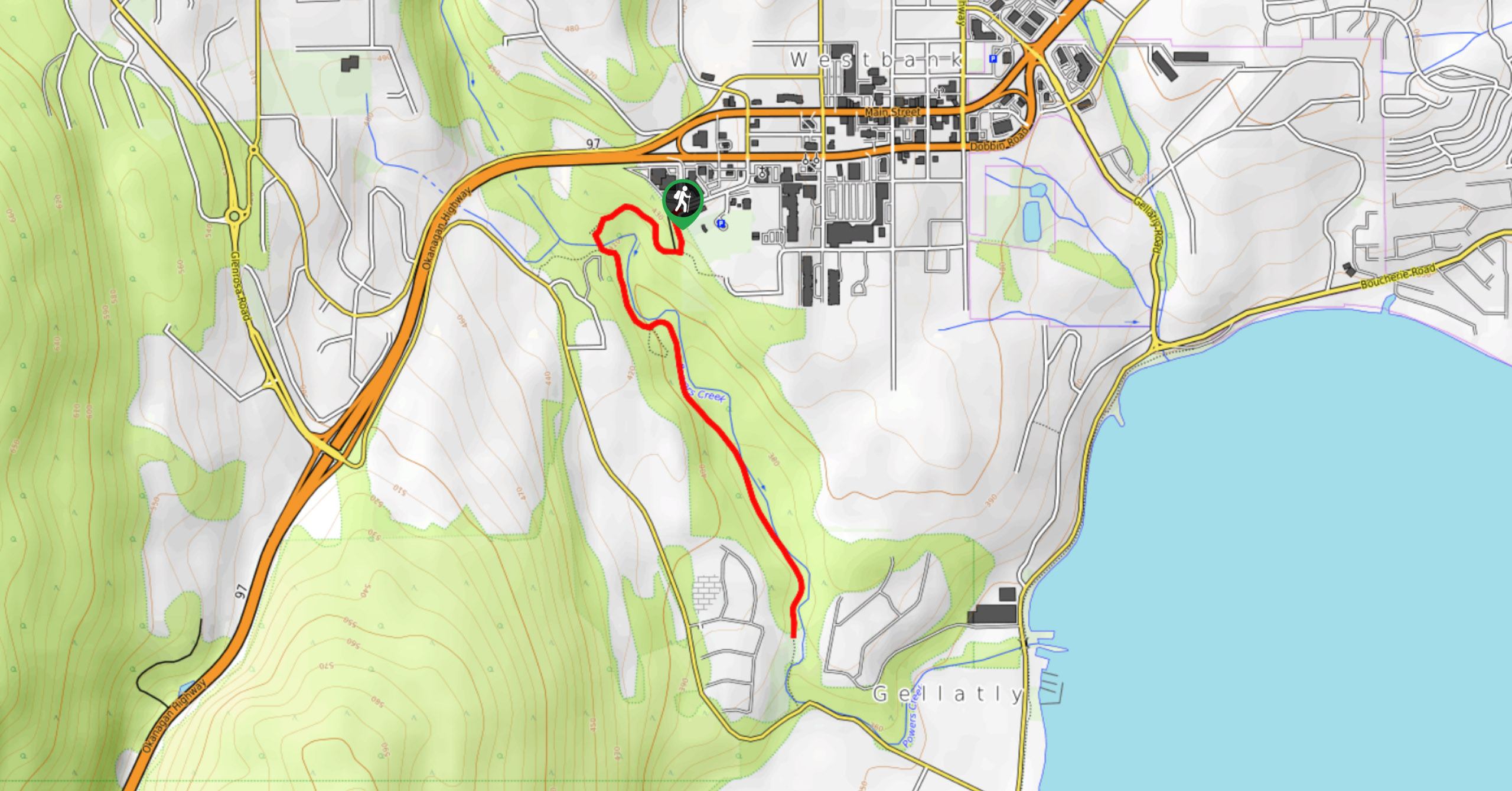
Glen Canyon Greenway Trail
The Glen Canyon Greenway Trail, located in West Kelowna, is a family-friendly hike that blends flat, easy-going terrain with more…
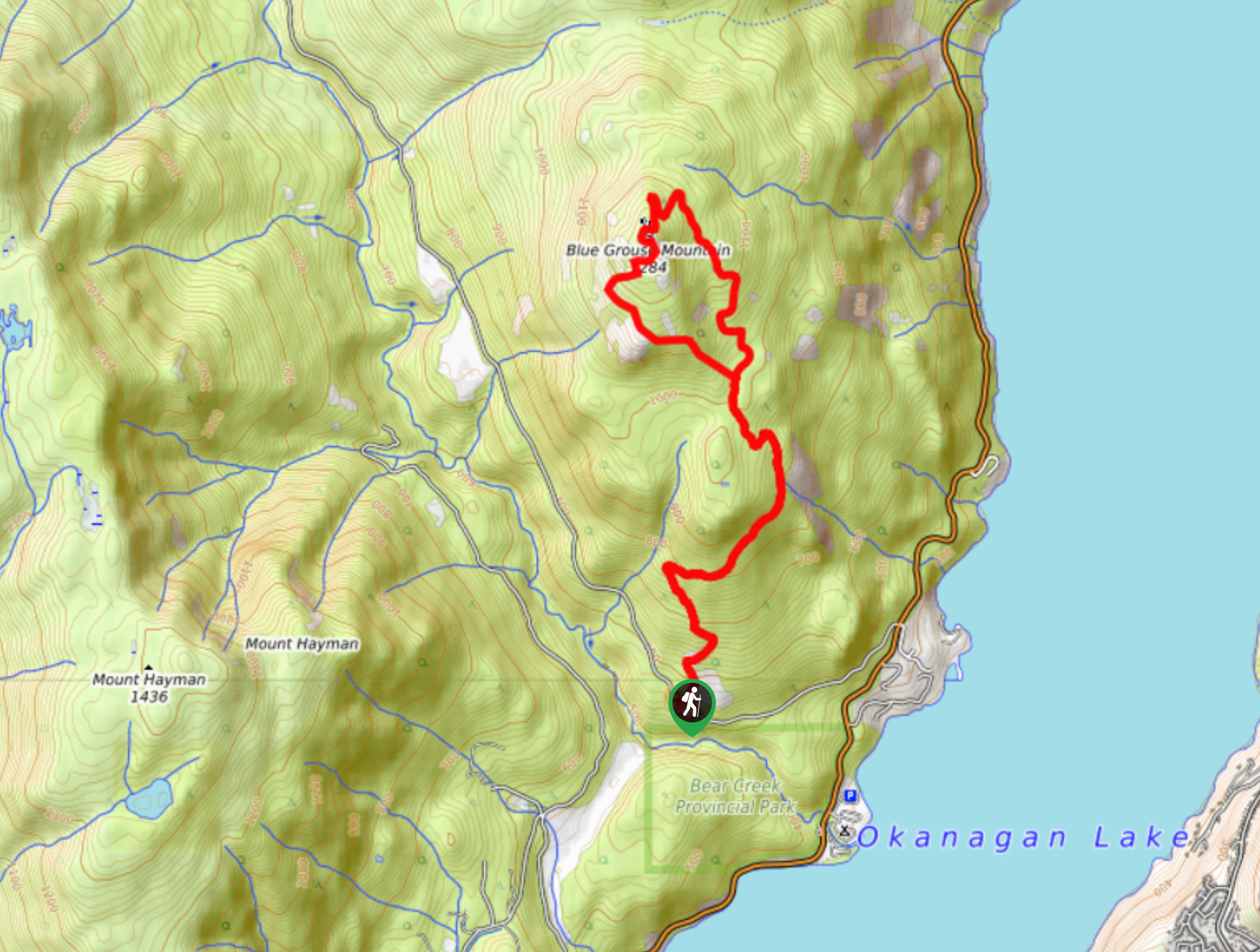
Blue Grouse Mountain Hike
The Blue Grouse Mountain Hike near Kelowna, BC, is a challenging hike that carries you up a steep ascent to…



Comments