

Kuipers Peak to Myra Canyon
View PhotosKuipers Peak to Myra Canyon
Difficulty Rating:
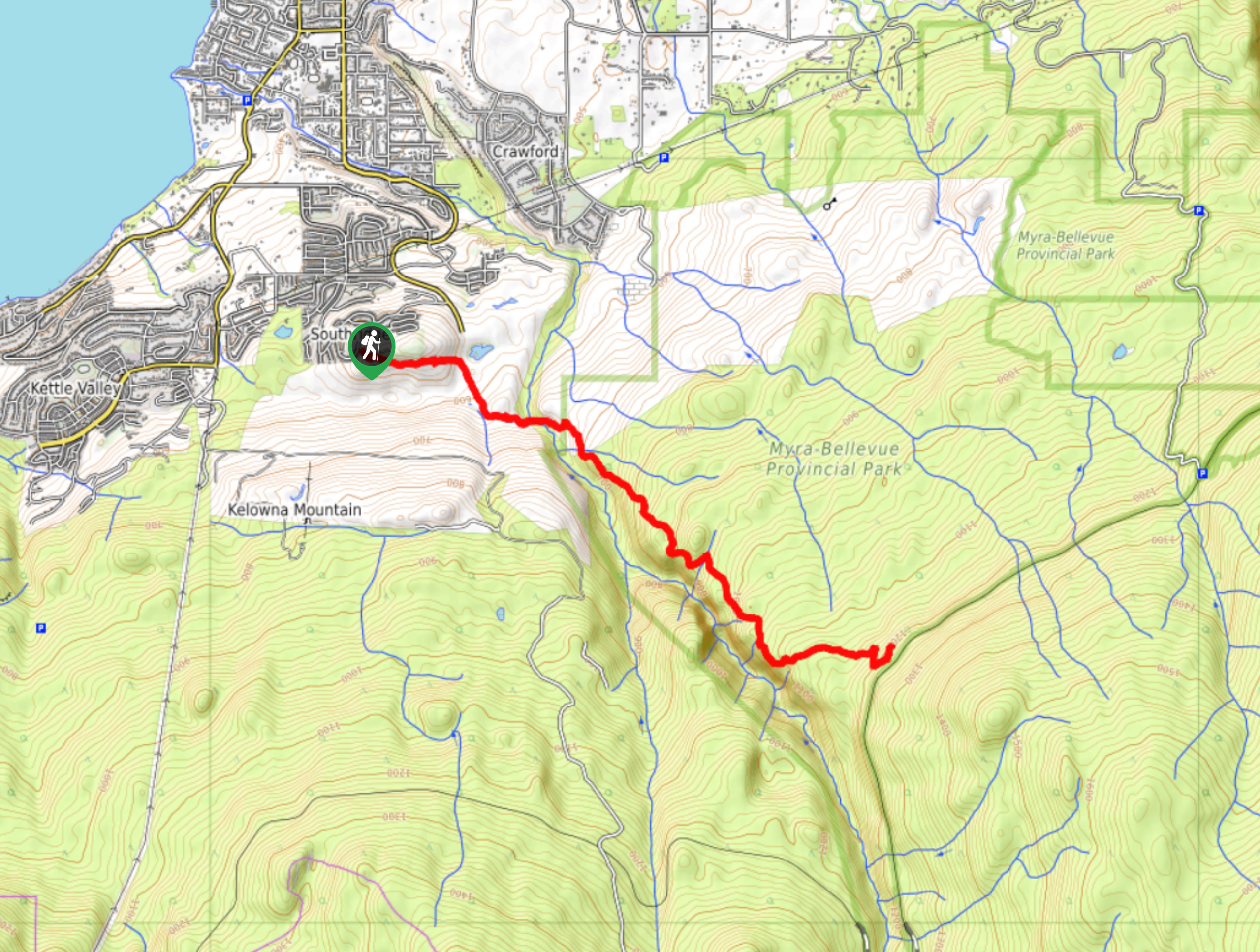
The Kuipers Peak to Myra Canyon Hike requires a GPS, lots of water and sunscreen due to exposed areas, and a camera to snap photos of the stunning Okanagan Valley views. This is a challenging hike, but the quiet seclusion paired with the scenery will keep your eyes and mind happy while your heart and lungs work!
Getting there
To get to the start of the Kuipers Peak to Myra Canyon Hike from Kelowna, head to Kuipers Crescent. After 328ft on this road, turn right to reach your destination at Kuipers Peak Mountain Park.
About
| When to do | May-October |
| Backcountry Campsites | Wild camping |
| Pets allowed | Yes - On Leash |
| Family friendly | No |
| Route Signage | None |
| Crowd Levels | Low |
| Route Type | Out and back |
Kuipers Peak to Myra Canyon
Elevation Graph
Weather
Kuipers Peak to Myra Canyon Description
The Kuipers Peak to Myra Canyon Hike is a lightly trafficked route in the Okanagan Valley. It’s required to wear a hat and a lot of sunscreen due to exposed areas throughout the hike. You will have to do some route-finding, so bring a GPS along as well. Some hikers suggest turning around at the 5.0mi mark as the views are gratifying at this point.
Similar hikes to the Kuipers Peak to Myra Canyon hike

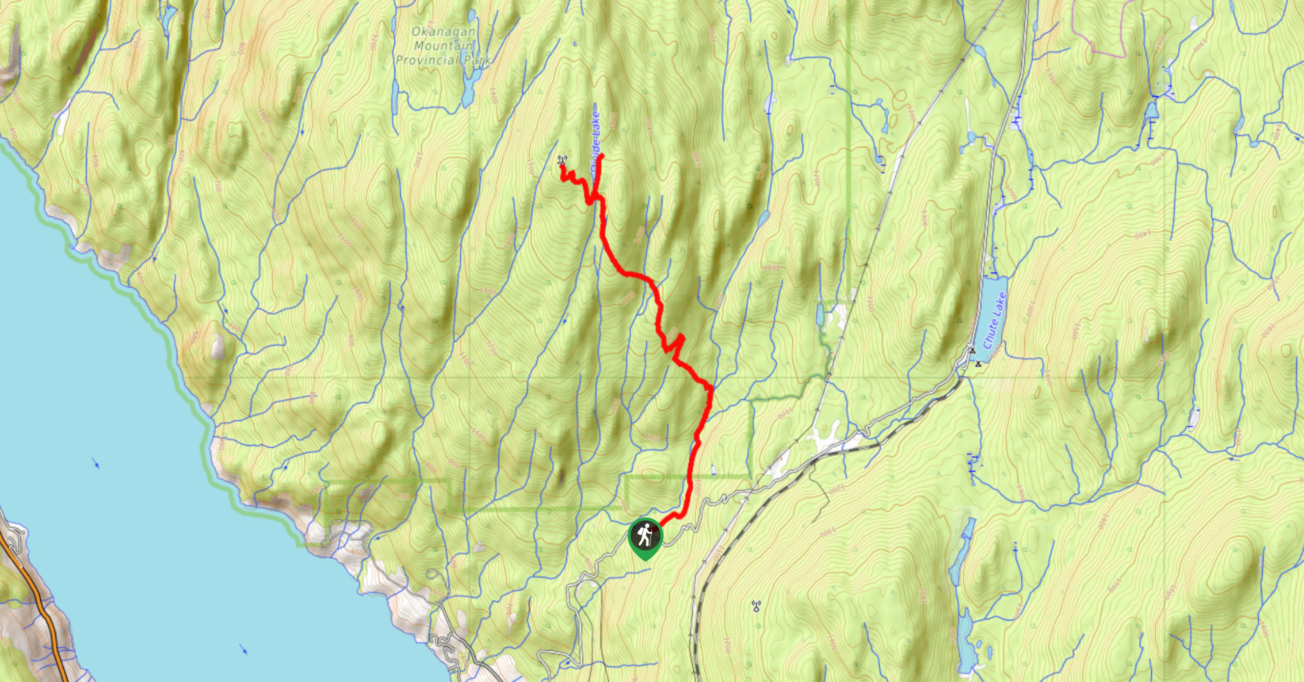
Okanagan Mountain Hike
The Okanagan Mountain Hike is an incredible backcountry hike that gets your heart pumping, unveiling a reel of views en…

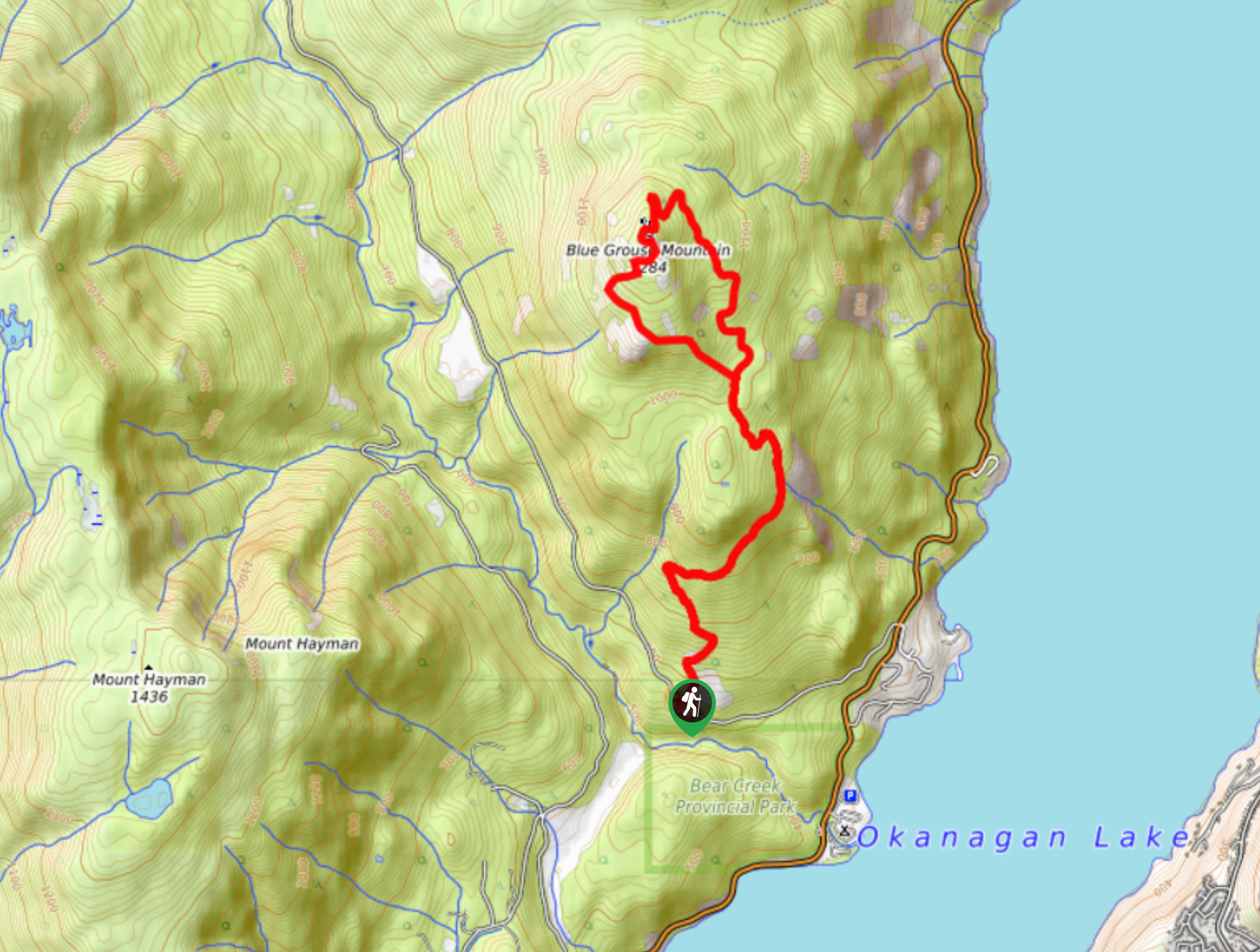
Blue Grouse Mountain Hike
The Blue Grouse Mountain Hike near Kelowna, BC, is a challenging hike that carries you up a steep ascent to…

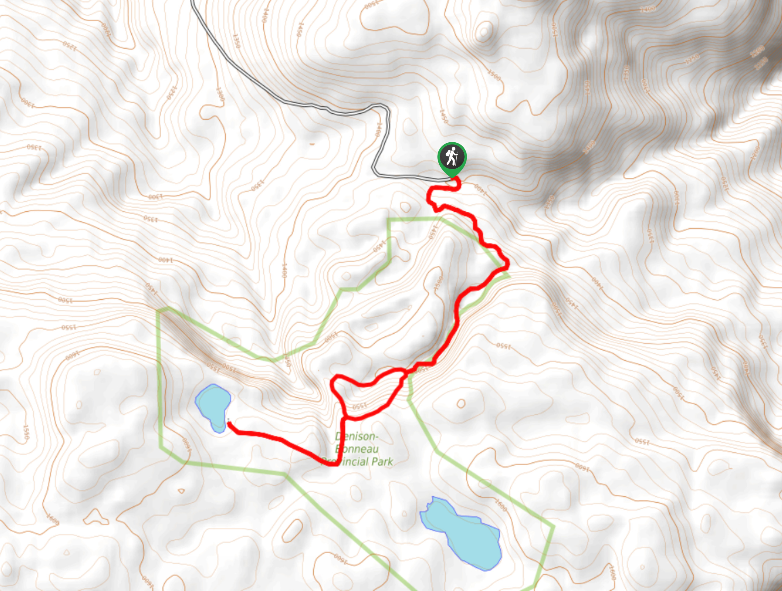
Denison Lake Trail
When summer rolls around, the Okanagan Valley’s scorching hot weather propels most to flock to the beaches, but why not…


Comments