Hike to Haynes Point
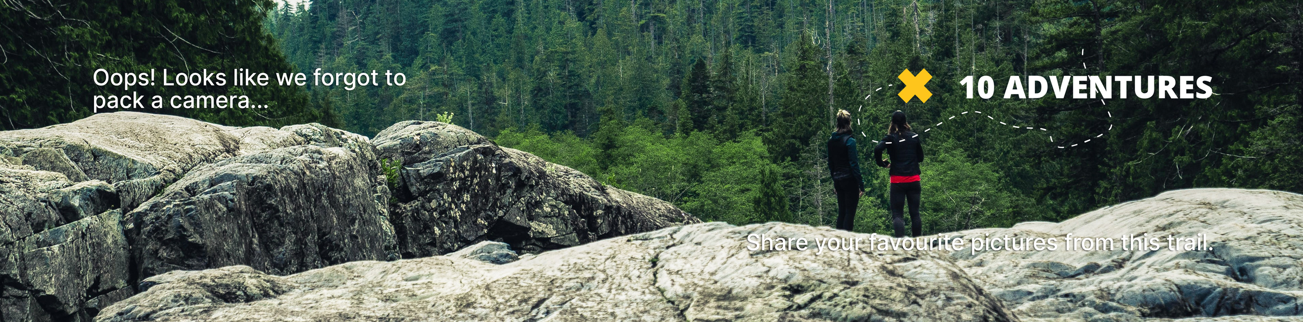
View Photos
Hike to Haynes Point
Difficulty Rating:
The Hike to Haynes Point in the Okanagan Valley’s Osoyoos is more of a leisurely stroll through residential areas. Despite consistent lake views, the more natural scenery doesn’t emerge until you reach Haynes Point Provincial Park.
Getting there
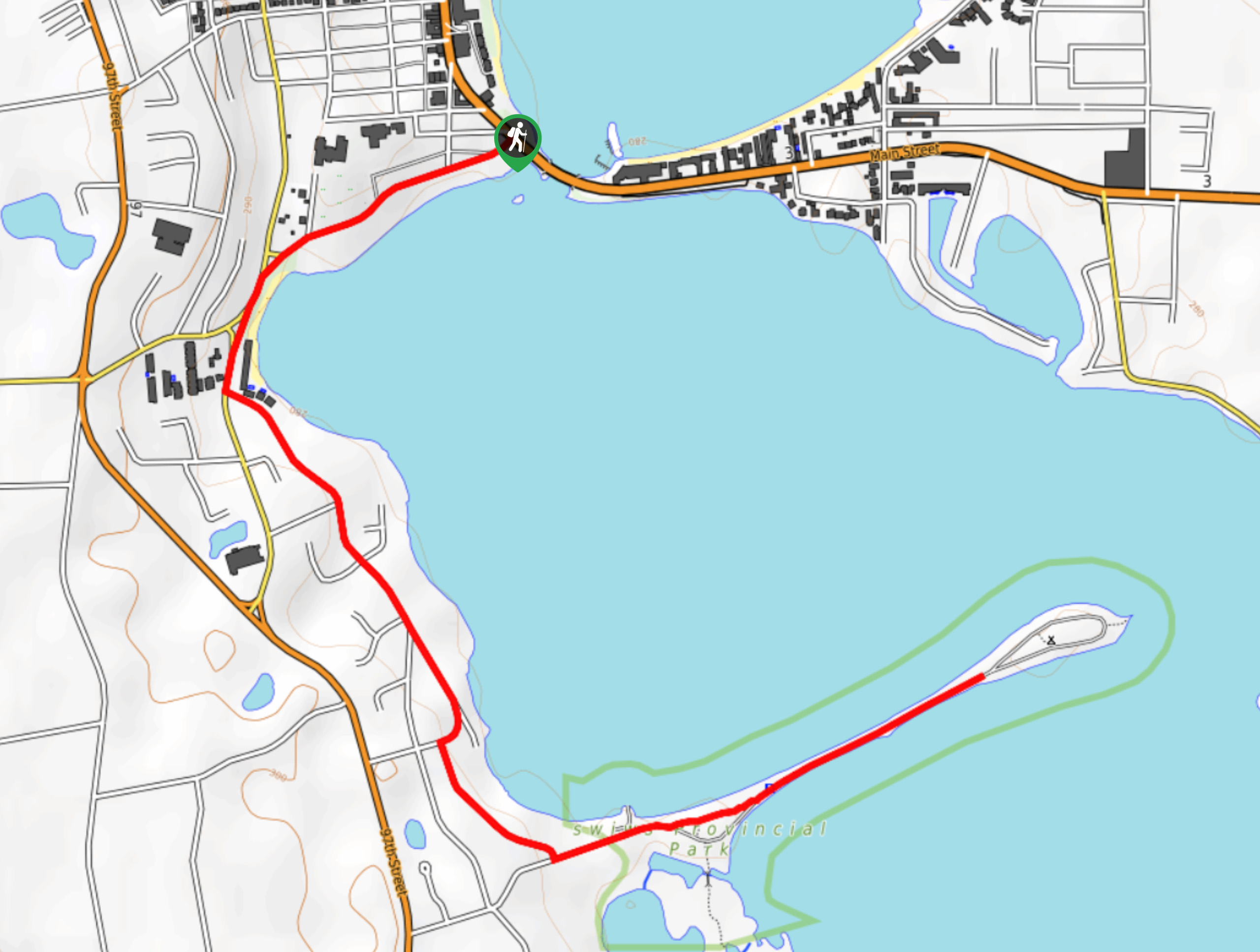
The Hike to Haynes Point in Osoyoos starts where Main Street meets Kingfisher Drive.

About
| When to do | Year-round |
| Backcountry Campsites | Haynes Point Provincial Campground |
| Pets allowed | Yes - On Leash |
| Family friendly | Yes |
| Route Signage | Average |
| Crowd Levels | Low |
| Route Type | Out and back |
Hike to Haynes Point
Elevation Graph
Weather
Hike to Haynes Point Trail Description
The Hike to Haynes Point isn’t the most scenic trail in the Okanagan Valley, but it gets you moving, unveiling lake views and winds to Haynes Point. Slightly further from the turn-around point sits Haynes Point Provincial Campground.
This easy-to-follow path is an out-and-back route, so you’ll return the way you came.
Similar hikes to the Hike to Haynes Point hike
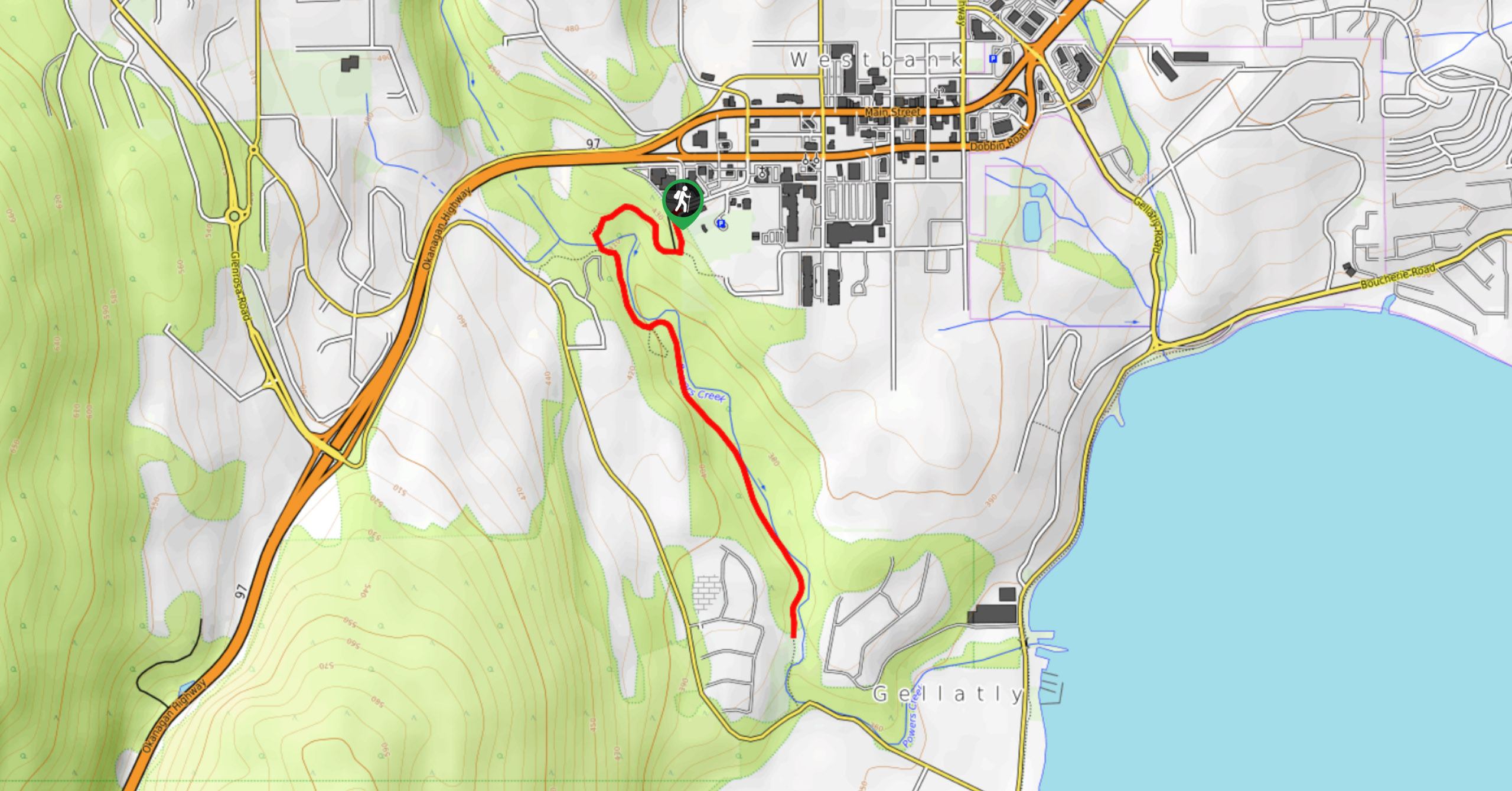
Glen Canyon Greenway Trail
The Glen Canyon Greenway Trail, located in West Kelowna, is a family-friendly hike that blends flat, easy-going terrain with more…
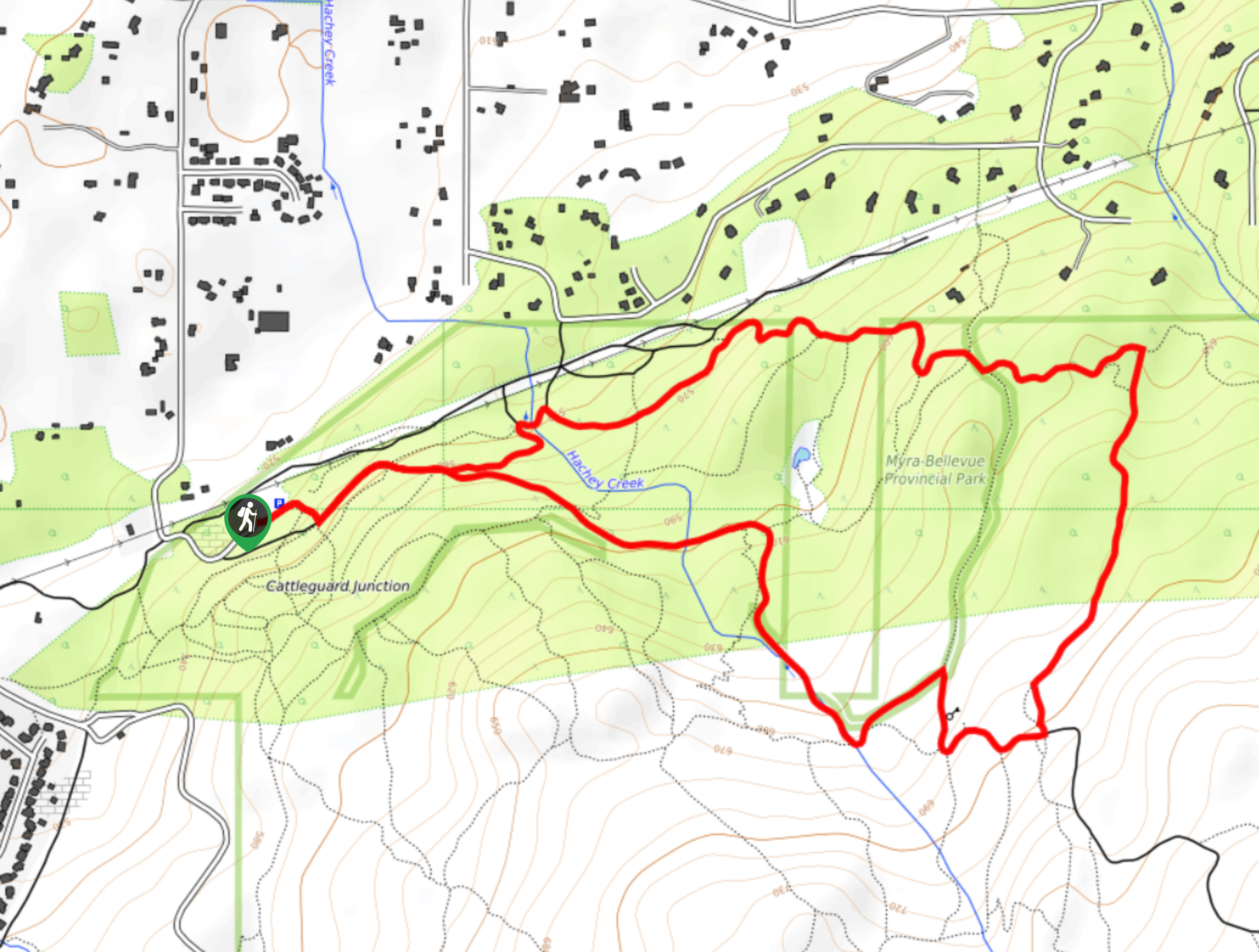
Myra Bellevue Trail
The Myra Bellevue Trail takes you around a wide loop, granting far-away unveilings of Okanagan Lake nestled at the forefront…
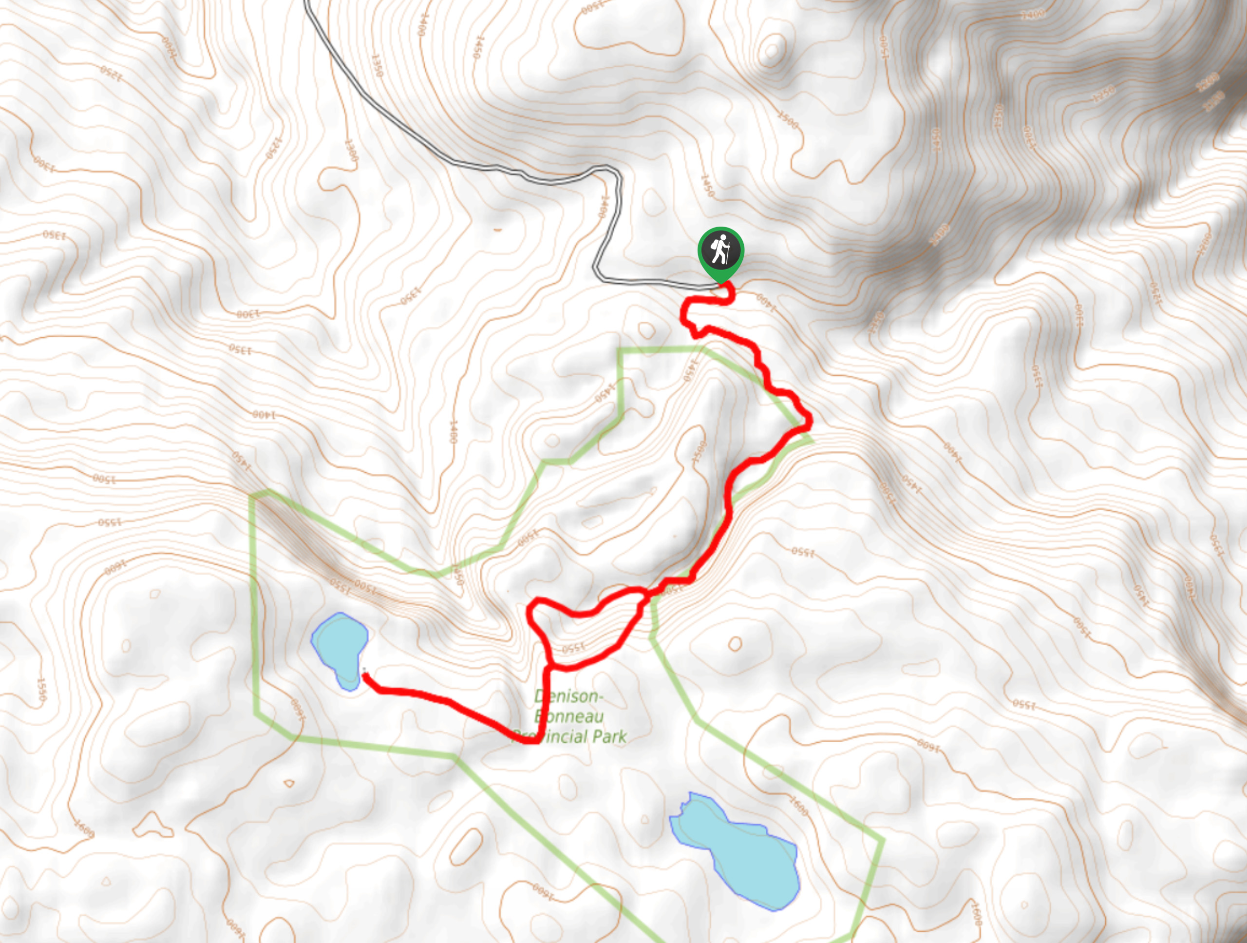
Denison Lake Trail
When summer rolls around, the Okanagan Valley’s scorching hot weather propels most to flock to the beaches, but why not…
Comments