
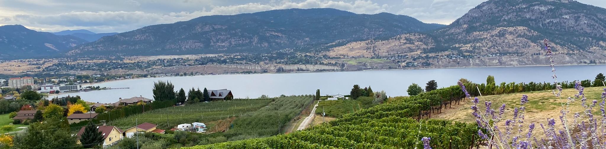
Hardy Falls Hike
View Photos
Hardy Falls Hike
Difficulty Rating:
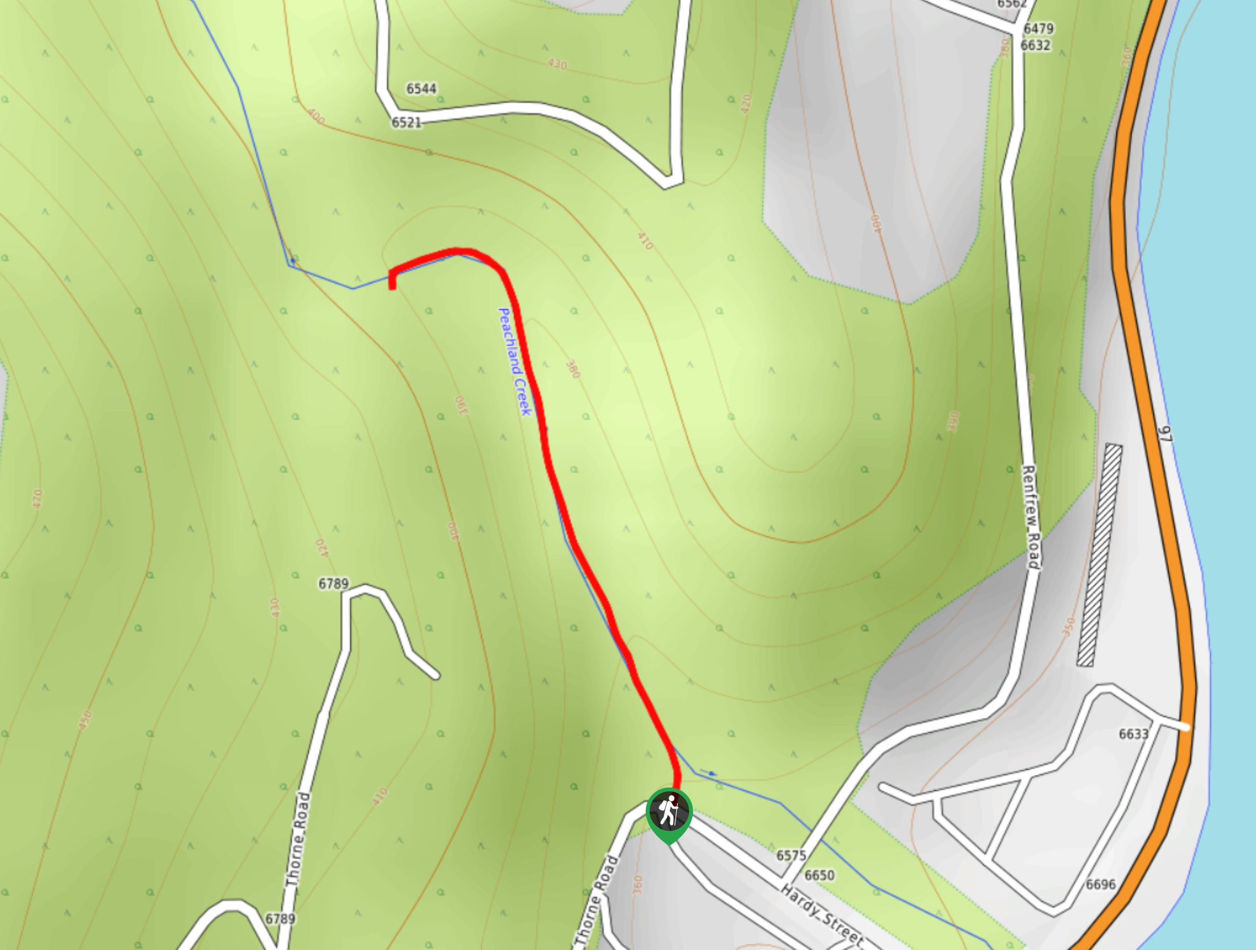
The Hardy Falls Hike has you following a series of bridges—eight to be exact—to a waterfall, making it a fun, adventurous outing for everyone! Plus, the almost-zero elevation gain and short 0.6mi distance will help to hinder any cries of “are we there yet?” from your kids. This hike, located in Hardy Falls Regional Park, is a great way for locals and visitors in Peachland, BC, to immerse themselves in nature!
Getting there
To get to Hardy Falls Hike from Peachland, you’ll head to BC-97 S towards Beach Avenue before turning right onto Hardy Street. Follow this road for 689ft, and your destination will be on your right.

About
| When to do | Year-round |
| Backcountry Campsites | No |
| Pets allowed | Yes - On Leash |
| Family friendly | Yes |
| Route Signage | Average |
| Crowd Levels | Moderate |
| Route Type | Out and back |
Hardy Falls Hike
Elevation Graph
Weather
Hardy Falls Hike Description
Get the whole family outside for a short meander to a scenic waterfall in the Okanagan Valley’s Hardy Falls Regional Park! Follow a series of eight bridges to a picturesque waterfall tucked into rocks intertwined with flora on this easy-going, family-friendly hike in Peachland, BC. The Hardy Falls Hike is an out-and-back route that directly follows the path from the parking lot to the waterfalls, making it difficult to get lost and lose the trail.
After following the bridges to reach the waterfall, you can take some time to sit on one of the benches provided and marvel at the waterfall before returning the same way you came. Kids love the bridges and waterfalls! And if you go at the right time of year, you may be able to catch kokanee spawning.

Similar hikes to the Hardy Falls Hike hike
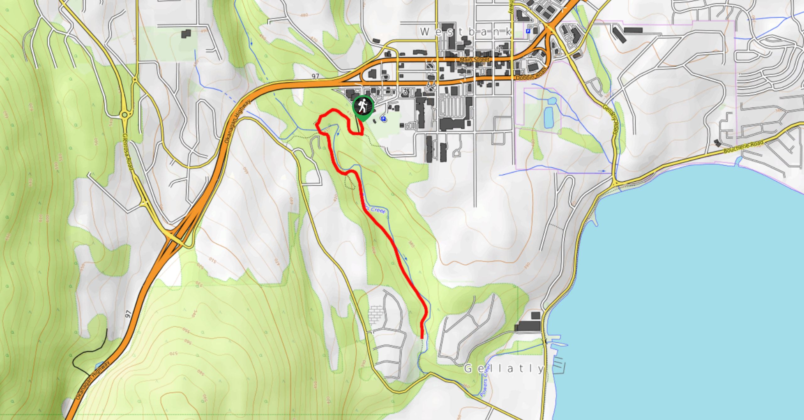
Glen Canyon Greenway Trail
The Glen Canyon Greenway Trail, located in West Kelowna, is a family-friendly hike that blends flat, easy-going terrain with more…
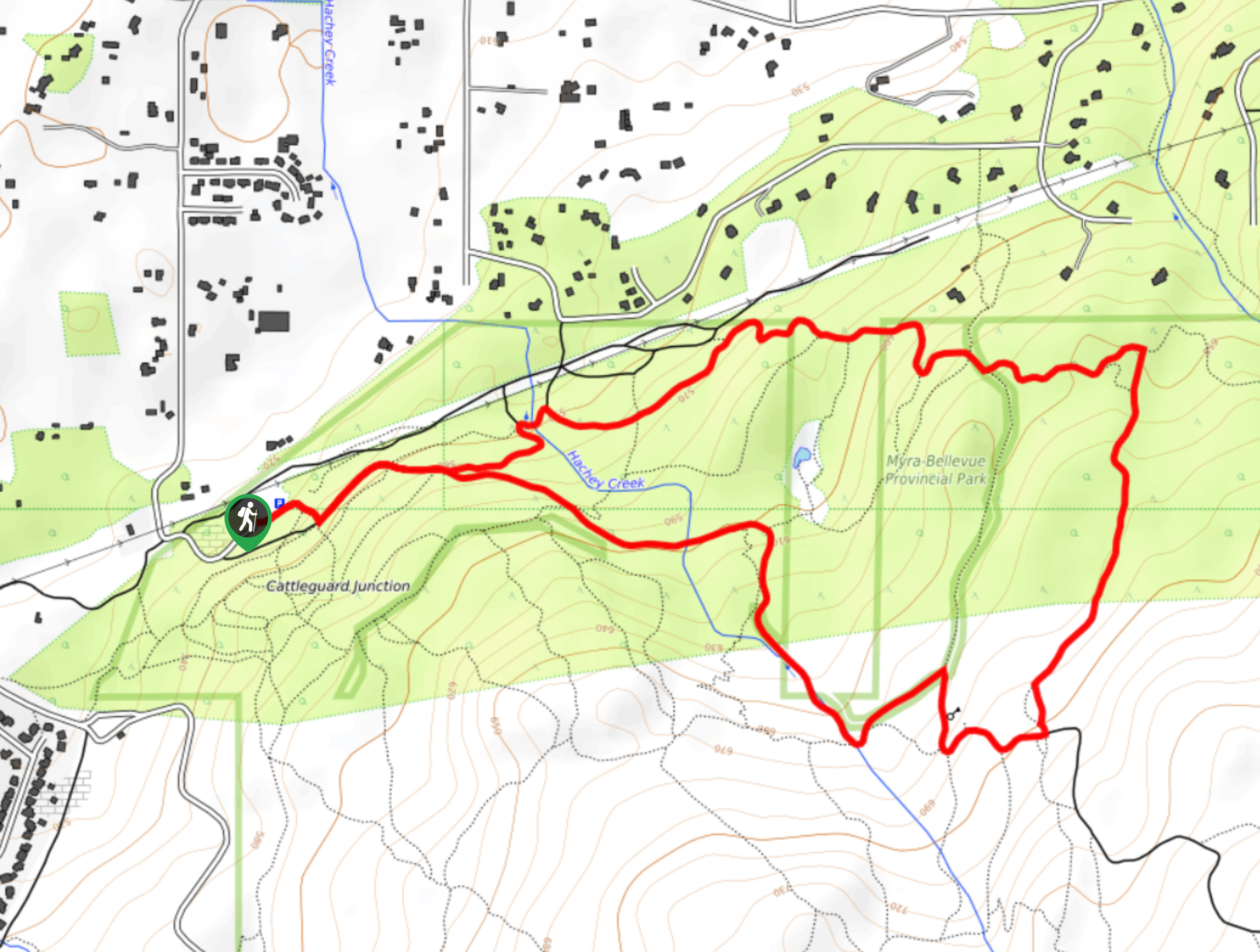
Myra Bellevue Trail
The Myra Bellevue Trail takes you around a wide loop, granting far-away unveilings of Okanagan Lake nestled at the forefront…
Naramata Creek Falls Hike
The Naramata Creek Falls Hike winds through a thick forested area along a semi-maintained trail that forces you to cross…
junk 3 years ago
Very ordinary. Worth a short stop if you pass by, but do not come for it.