

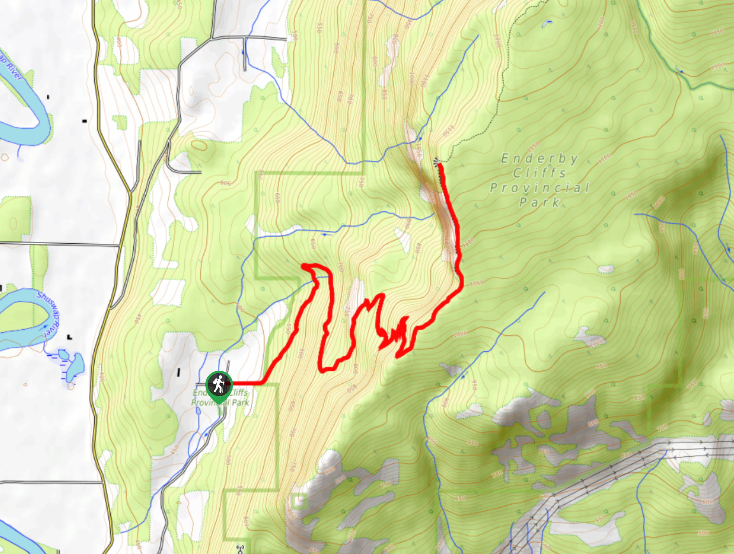
Enderby Cliffs Trail
View PhotosEnderby Cliffs Trail
Difficulty Rating:
The Enderby Cliffs Trail is an incredible hike in the Okanagan Valley! It's a fantastic half-day excursion, so pack a lot of water and snacks. especially if you're hiking in the summer heat. Get ready to wind up a steady elevation gain until you stand atop soaring cliffs. Here, you'll get a chance to walk along the ridge, providing ample opportunity to admire the views of the Shuswap River, twisting between layers of green in the valley below.
Getting there
The Enderby Cliffs Trail is located just minutes from Enderby. From Cliff Ave, take a left onto Enderby Grindrod Road. Follow this road for 1.1mi before turning right onto Mowat Road. After 1312ft, take another left onto Brash Allen Road. After 1.0mi, turn left to stay on Brash Allen Road. The parking lot will be on your left.
About
| When to do | April-October |
| Backcountry Campsites | No |
| Pets allowed | Yes - On Leash |
| Family friendly | Older Children only |
| Route Signage | Average |
| Crowd Levels | Moderate |
| Route Type | Out and back |
Enderby Cliffs Trail
Elevation Graph
Weather
Enderby Cliffs Trail Description
The Enderby Cliffs Trail is a must-do, whether you’re an Okanagan local or a visitor seeking some outdoor adventure. Be sure to pack a lot of water and snacks for the top! You’ll definitely work up an appetite as the hike has a consistent incline and many switchbacks. There are also bears roaming the area, making it essential to bring bear spray along. While this hike is best done between April and October, it’s still possible to enjoy this trail in the winter, but crampons are essential if you do. We would advise against bringing young children on this hike due to the steep drop from the cliffs. Keep your dogs close, too.
You won’t regret climbing atop the cliffs and marvelling at the lush, verdant scenery cloaking the land below. Nothing beats the fantastic bright-blue Shuswap River snaking through the green valley. The Enderby Cliffs Trail is easy to follow, gets your heart rate up, and the views from the top are so worth it.
You’ll follow the Tplaqin Trail from start to finish, making this hike super straightforward and almost impossible to get lost on. Around the halfway mark en route to the top, you’ll encounter an excellent viewpoint, which local trail runners or younger families sometimes turn around on. But you’ll know you’ve reached the top when you’re standing atop the cliffs and can walk along a ridge. After spending some time at the top, turn around and head back the way you came.
Insider Hints
If you plan to do this hike in winter, bring crampons.
There are bears in the area, so pack bear spray.
Bring bug spray in the summer as the insects can be a nuisance in the Okanagan.
Similar hikes to the Enderby Cliffs Trail hike
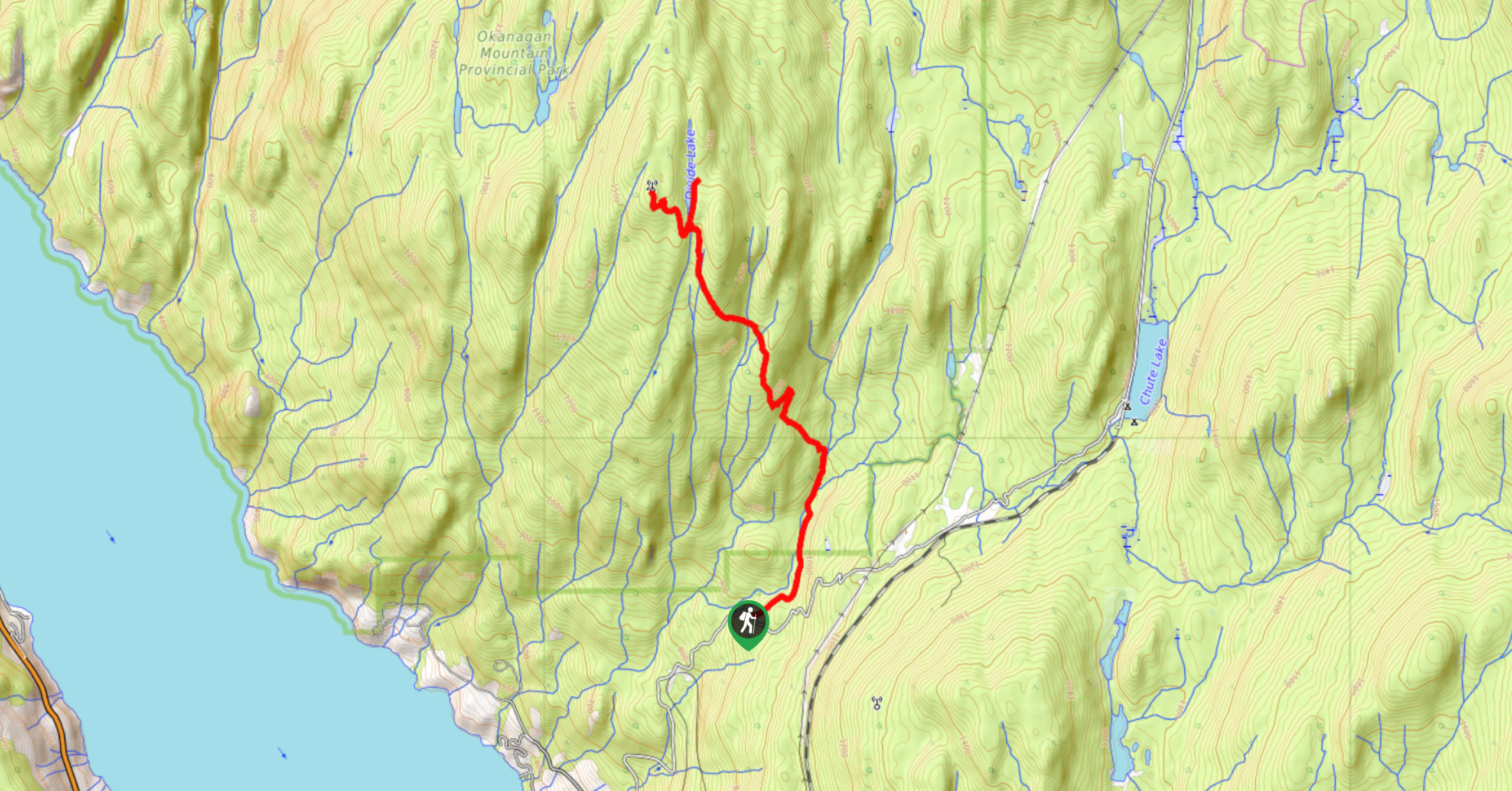
Okanagan Mountain Hike
The Okanagan Mountain Hike is an incredible backcountry hike that gets your heart pumping, unveiling a reel of views en…
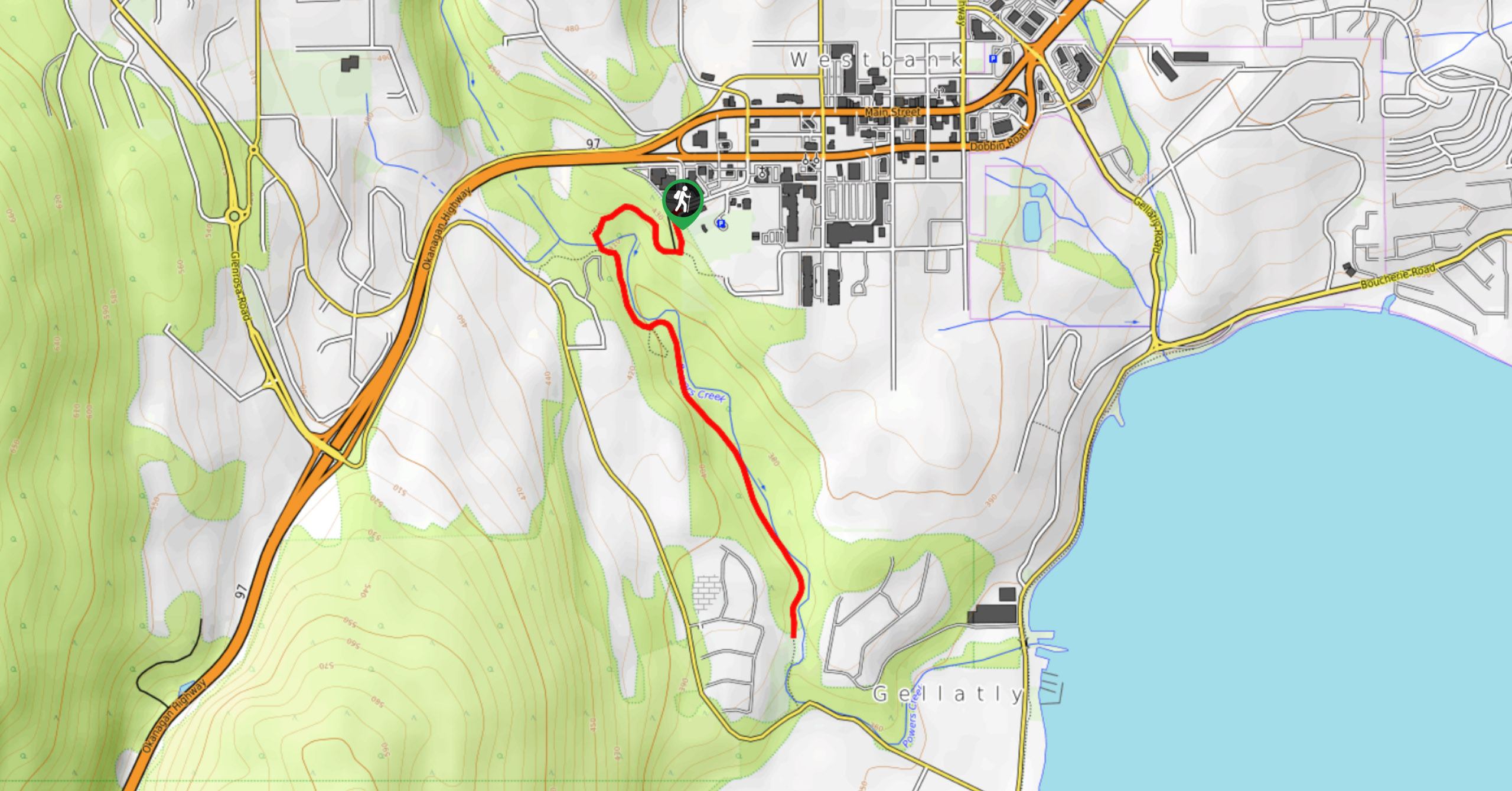
Glen Canyon Greenway Trail
The Glen Canyon Greenway Trail, located in West Kelowna, is a family-friendly hike that blends flat, easy-going terrain with more…
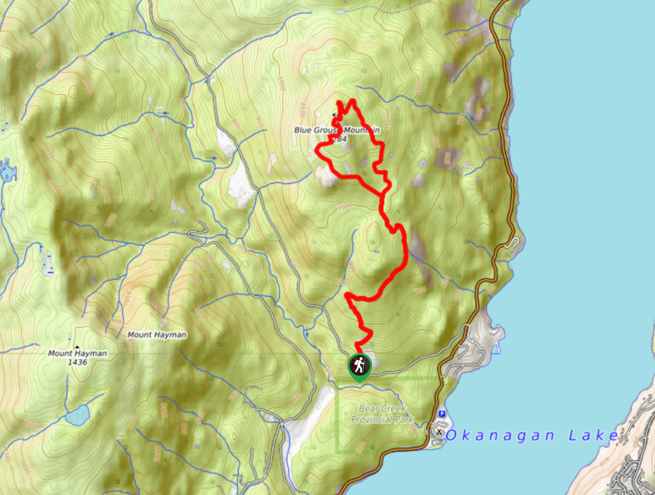
Blue Grouse Mountain Hike
The Blue Grouse Mountain Hike near Kelowna, BC, is a challenging hike that carries you up a steep ascent to…


Comments