

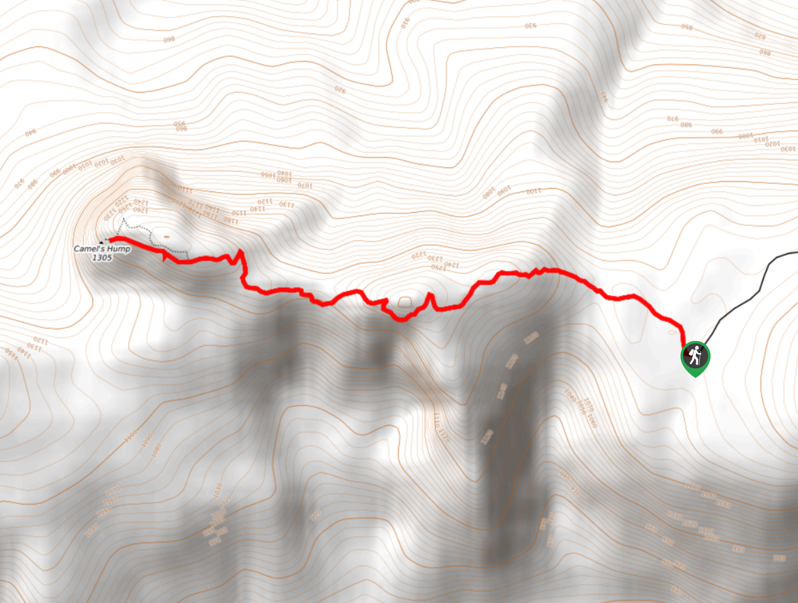
Camel’s Hump Hike
View PhotosCamel’s Hump Hike
Difficulty Rating:
The Camel's Hump Hike in the Okanagan Valley is a local’s favourite—the heart-pumping undulations between the two humps make this trail fun, tiring, and rewarding. Unfortunately, you’ll need a high-clearance vehicle with 4x4 to reach the trailhead!
Getting there
To reach the trailhead for Camel’s Hump Hike from Vernon, BC, make your way to Highway 6. Turn right onto Creighton Valley Road and follow this road for 7.8mi. The road eventually becomes a dirt road. Continue along for 5.0mi before taking a left onto Clier Lake Forest Road. Continue along this dirt road, keeping left at the ‘Y’ just after Clier Lake. Follow the bumpy road for 3.1mi until you reach the trailhead.
About
| When to do | May - October |
| Backcountry Campsites | No |
| Pets allowed | Yes - On Leash |
| Family friendly | Older Children only |
| Route Signage | Average |
| Crowd Levels | Low |
| Route Type | Out and back |
Camel’s Hump Hike
Elevation Graph
Weather
Camel’s Hump Hike Description
The Camel’s Hump Hike, located just outside of Lumby and near Vernon in the Okanagan Valley, is a lightly trafficked hike that’s tailor-made for anyone seeking activity for the heart and a feast for the eyes. The valley views paired with the image of never-ending rolling hills, especially in autumn, are unbeatable. You will need a high-clearance vehicle with 4×4 to reach the trailhead. And don’t forget to bring lots of water, bug spray, and bear spray!
Similar hikes to the Camel’s Hump Hike hike
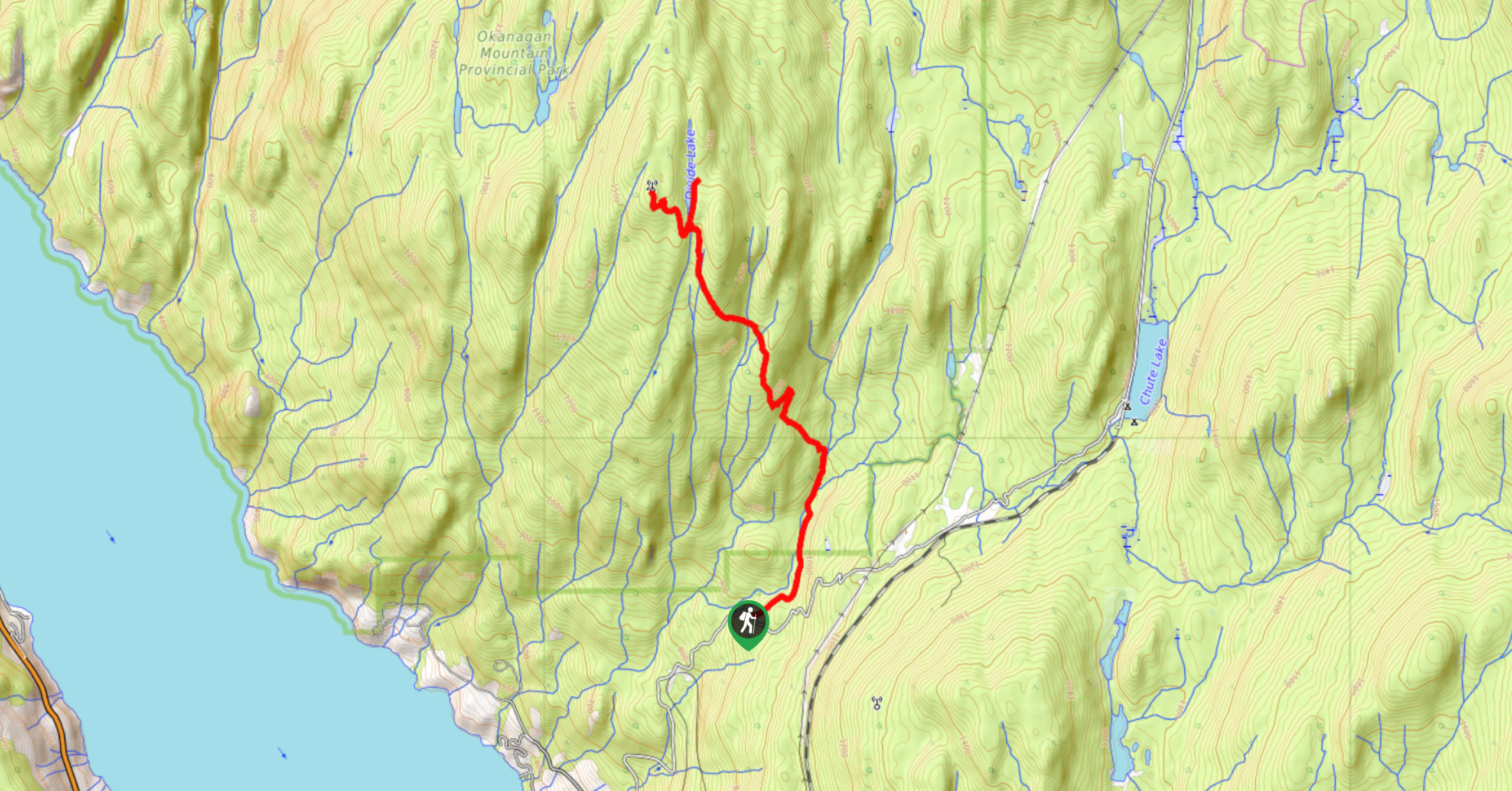
Okanagan Mountain Hike
The Okanagan Mountain Hike is an incredible backcountry hike that gets your heart pumping, unveiling a reel of views en…
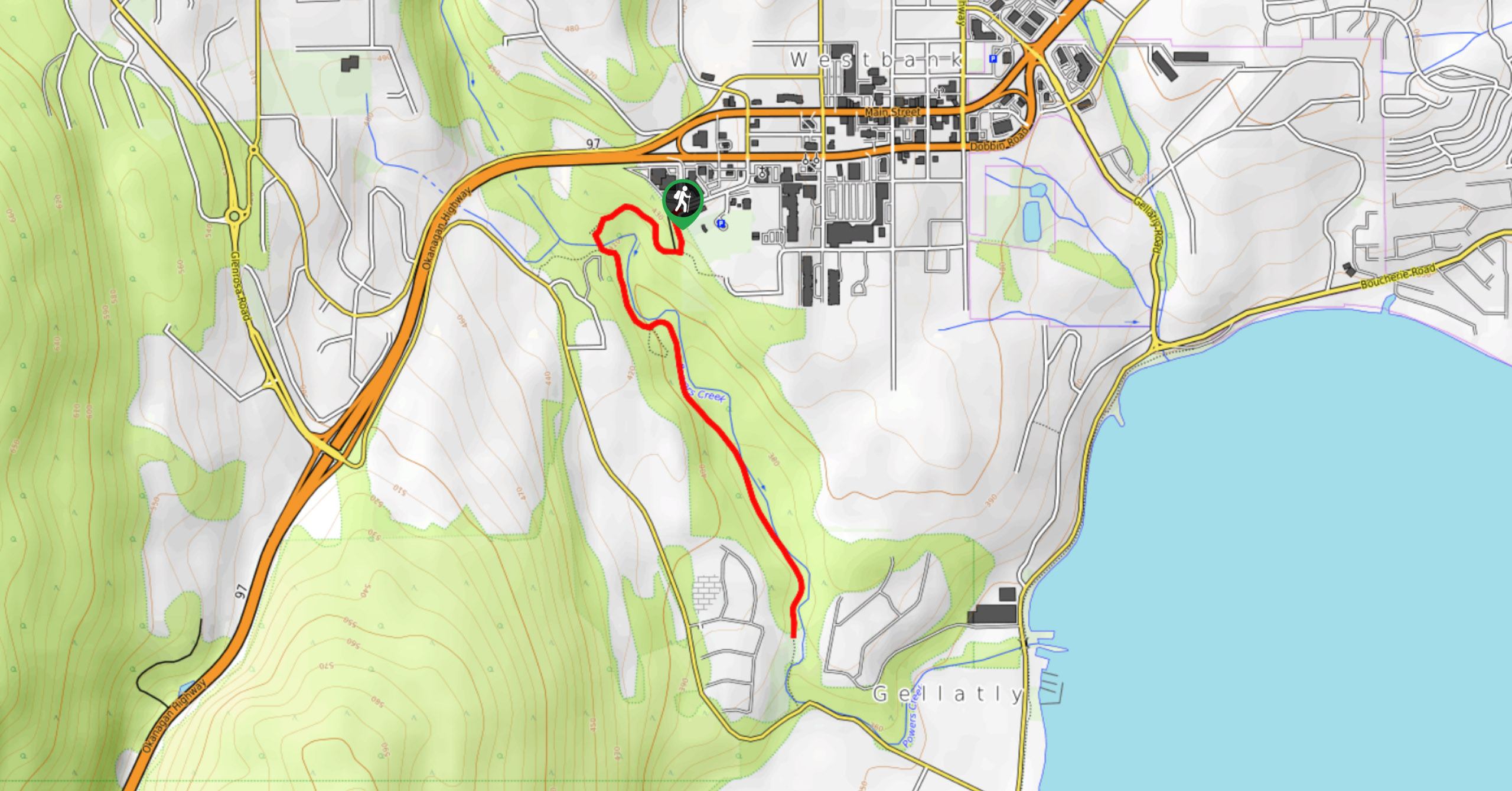
Glen Canyon Greenway Trail
The Glen Canyon Greenway Trail, located in West Kelowna, is a family-friendly hike that blends flat, easy-going terrain with more…
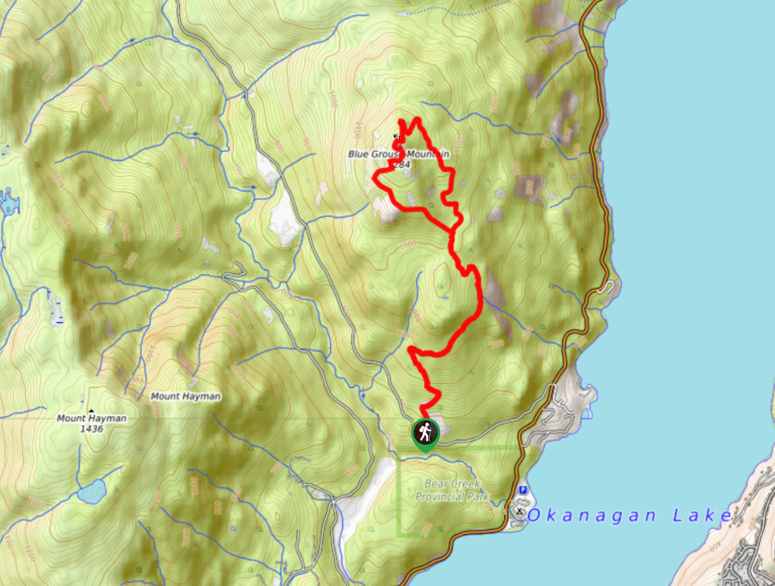
Blue Grouse Mountain Hike
The Blue Grouse Mountain Hike near Kelowna, BC, is a challenging hike that carries you up a steep ascent to…


Comments