

BX Falls Hike
View PhotosBX Falls Hike
Difficulty Rating:
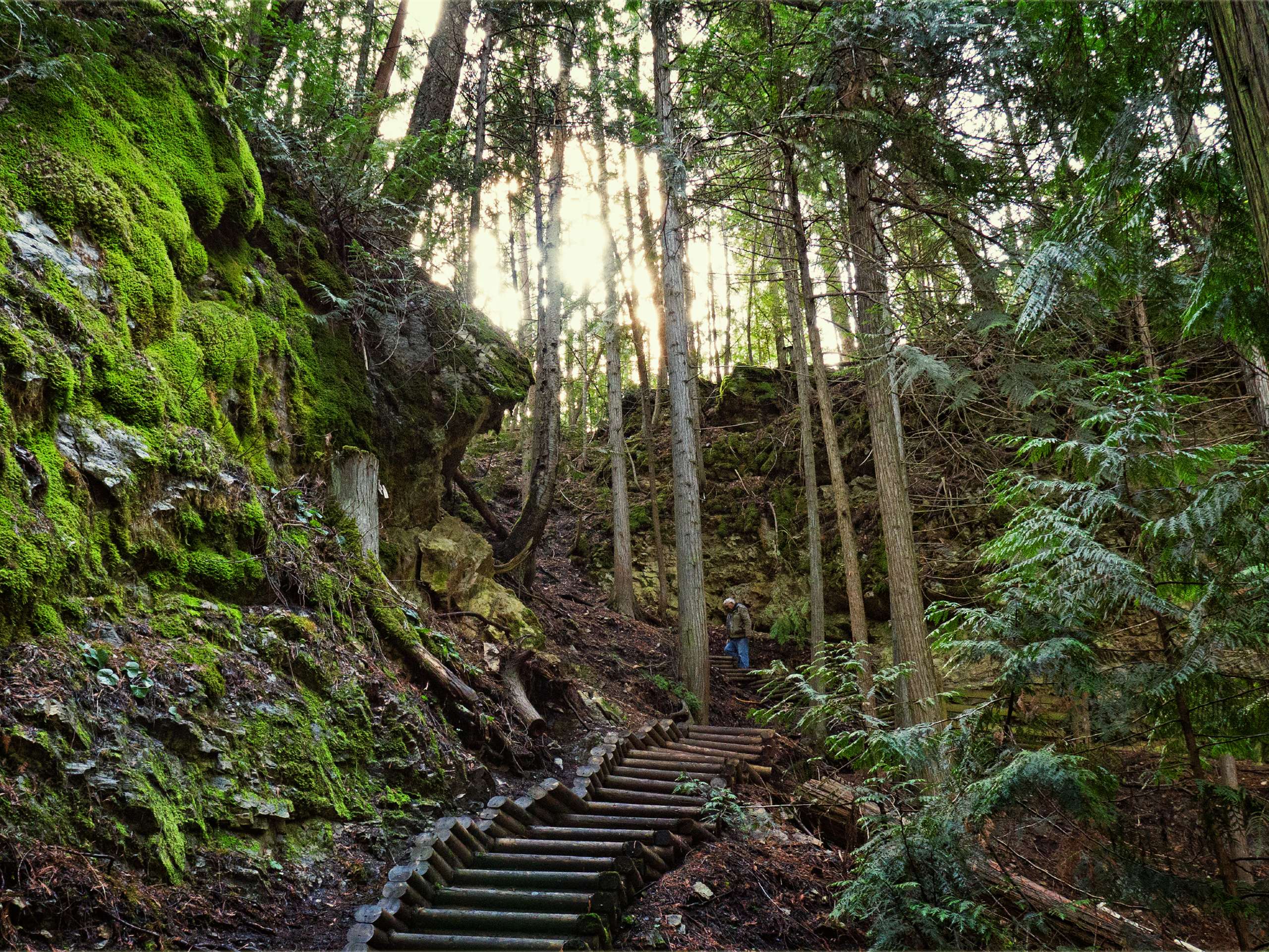
The BX Falls Hike is a must-do if you’re visiting Vernon, B.C. While most people flock to the lake in the Okanagan, it’s always fun to dabble in some new scenery, especially a fantastic nature walk like this one! Located just minutes from downtown, the BX Falls Hike winds to a powerful waterfall tucked into a lovely forested area. When you’re done, you can always hit up the nearby BX Press for delicious local cider and woodfire stove pizza. The hike may be short, but the stairs along this hike will definitely work up your appetite!
Getting there
To get to BX Falls from downtown Vernon, follow 48 Avenue, which eventually becomes Silver Star Road. Stay on Silver Star Road for 3.7mi before turning right on Tillicum Road. After 0.6mi, the parking lot will be on your right.
About
| When to do | Year round |
| Backcountry Campsites | NO |
| Pets allowed | No |
| Family friendly | Yes |
| Route Signage | Average |
| Crowd Levels | Moderate |
| Route Type | Out and back |
BX Falls Hike
Elevation Graph
Weather
BX Falls Hike Description
The BX Falls Hike in Vernon, B.C. grants visitors and locals seeking scenery outside of the quintessential Okanagan lakefront views with the ideal outdoorsy escape. Once you set foot on the trail, a thick forest will envelop you. If you’re starting from the Tillicum Road trailhead, you’ll only have to walk a short distance to the waterfall. You can choose to descend the stairs to reach the base of the waterfall before making your way back up the stairs and onto the trail again. Feel free to turn around to head back to the parking lot or continue along BX Creek, crossing over some bridges and attacking more stairs.
The distance may be short, but the stairs will get your heart rate up! This out-and-back route is easy to follow, so you won’t have to worry about getting lost in the lovely forest.
If you’re attempting this hike in winter, the stairs can be slippery. It’s recommended that you wear microspikes if there’s ice or snow on the trail. This hike is exceptional year-round, providing a cool oasis away from the hot Okanagan heat in the summer and a winter wonderland during colder months.
Insider Hints
Hit up BX Press before or after your hike from some excellent ciders and woodfire stove pizza!
Bring microspikes or crampons if you’re doing this hike in the winter.
Similar hikes to the BX Falls Hike hike

Glen Canyon Greenway Trail
The Glen Canyon Greenway Trail, located in West Kelowna, is a family-friendly hike that blends flat, easy-going terrain with more…

Myra Bellevue Trail
The Myra Bellevue Trail takes you around a wide loop, granting far-away unveilings of Okanagan Lake nestled at the forefront…

Denison Lake Trail
When summer rolls around, the Okanagan Valley’s scorching hot weather propels most to flock to the beaches, but why not…


Comments