

Boucherie Rush Trail
View PhotosBoucherie Rush Trail
Difficulty Rating:
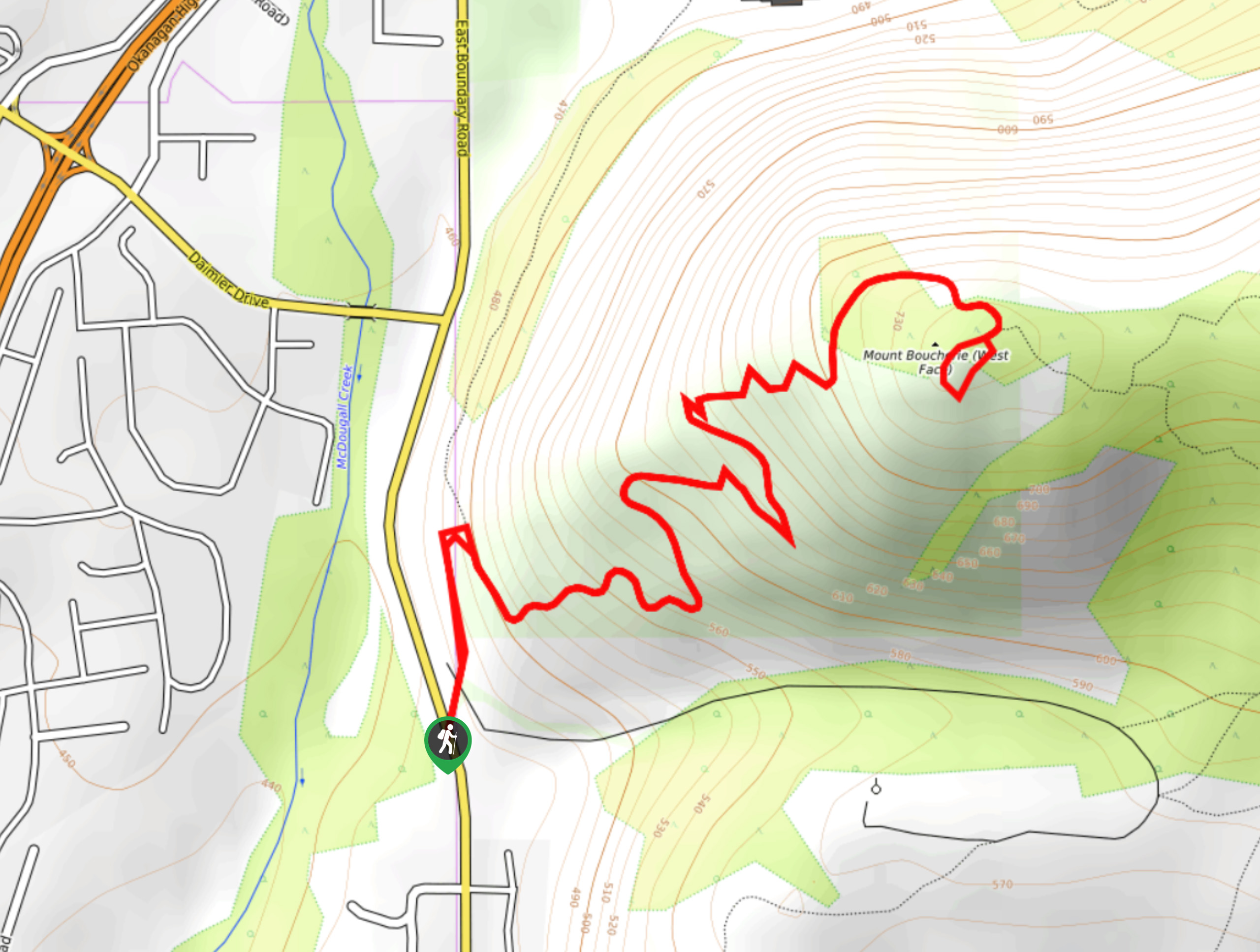
The Boucherie Rush Trail is a popular hike situated in West Kelowna! This hike is a total bang-for-your-buck: it’s short, gets your heart rate up, and nothing beats the shimmering Okanagan Lake views flanked by the sprawling metropolis and rolling hills at the top.
Getting there
To get to Boucherie Rush Trail from Kelowna, make your way to HWY-97 before heading south on Bartley Road, which turns into East Boundary Road. Follow this road for 0.9mi, looking for a small parking area on your left. If the parking lot is full, head to Darroch Park, and park by the ball diamonds.
About
| When to do | May - October |
| Backcountry Campsites | No |
| Pets allowed | Yes - On Leash |
| Family friendly | Older Children only |
| Route Signage | Average |
| Crowd Levels | High |
| Route Type | Out and back |
Boucherie Rush Trail
Elevation Graph
Weather
Boucherie Rush Trail Description
The Boucherie Rush Trail is a popular local hiking route in Kelowna, BC. If the parking lot is full, you can always drive to Darroch Park and park by the ball diamonds. From the main parking area, you’ll notice three trailheads. If you want to get to the top of Mount Boucherie, you’ll follow Flint Man Trail before going uphill on Boucherie Rush Trail. There are also some signs along the trail notifying you of private properties, so do your best to stay on the designated path.
Hikers will be happy to know that there are switchbacks, making the elevation easier to handle, and wooden railings to get you through the steeper areas. At the top of Mt. Boucherie, you’ll reap the reward of incredible views of Okanagan Lake and West Kelowna.
This trail is well maintained and easy to follow! From the trailhead, you’ll follow the Flint Man Trail for 1312ft before snaking uphill along the Boucherie Rush Trail until you reach the summit, where unreal views await. After soaking in the Okanagan Valley vistas, head back the way you came.
If you want more adventure, follow the Eain Lamont Trail for more phenomenal glimpses of the scenery etched into the valley below. This route takes you to the northeast face of the mountain, which isn’t recommended for families.
Side note: Mount Boucherie isn’t just any ordinary mountain—it’s an extinct 50 to 60 million-year-old volcano!
Insider Hints
Head to the ball diamonds at Darroch Park for additional parking—some people also park along the road.
If you’re craving more views and have energy left in the tank, follow the Eain Lamont Trail. This route is not recommended for families!
The trail is exposed in many areas, making it a scorcher on sunny Okanagan days, so bring a lot of water along.
Similar hikes to the Boucherie Rush Trail hike
Okanagan Mountain Hike
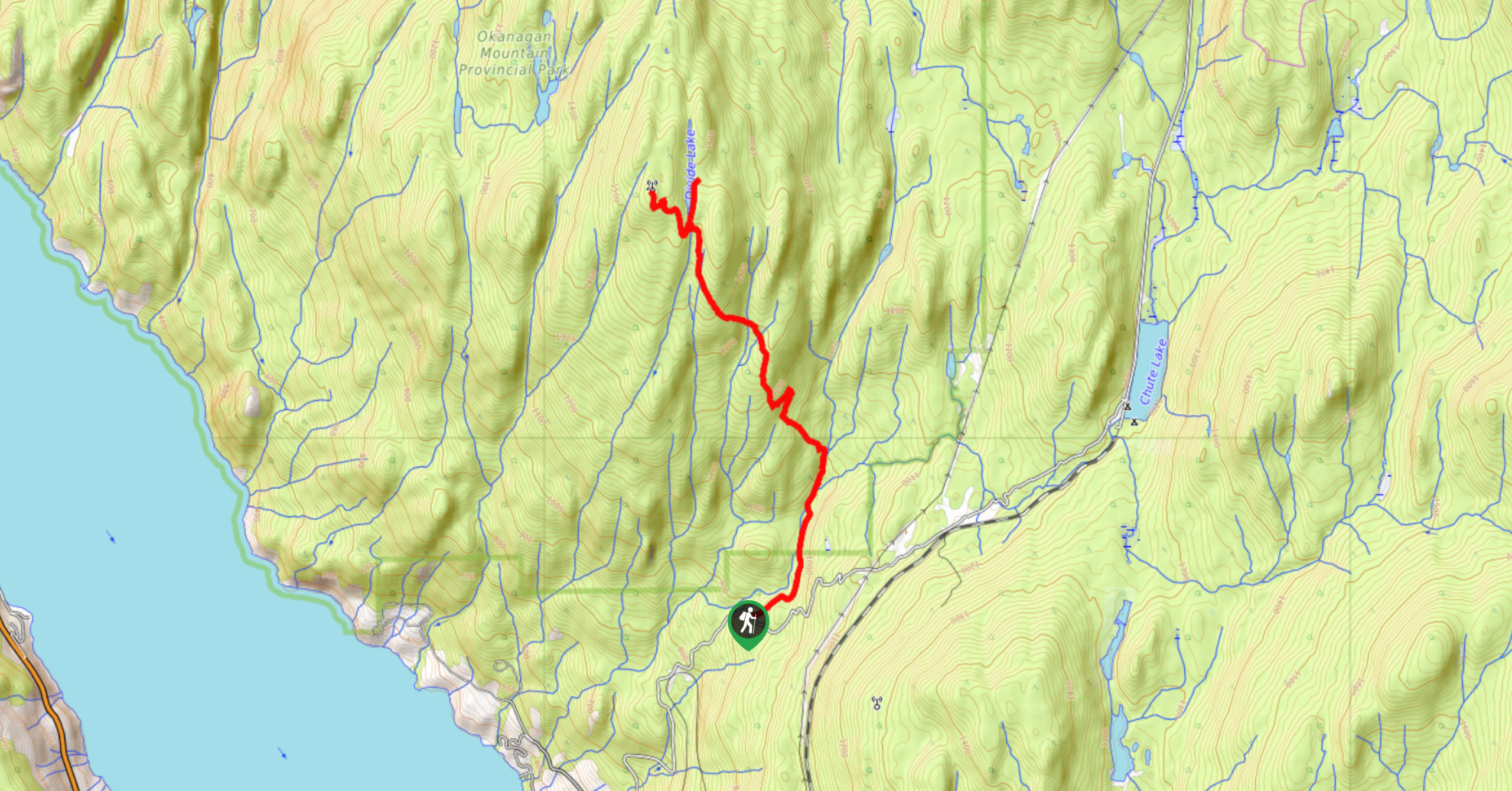
The Okanagan Mountain Hike is an incredible backcountry hike that gets your heart pumping, unveiling a reel of views en…
Glen Canyon Greenway Trail
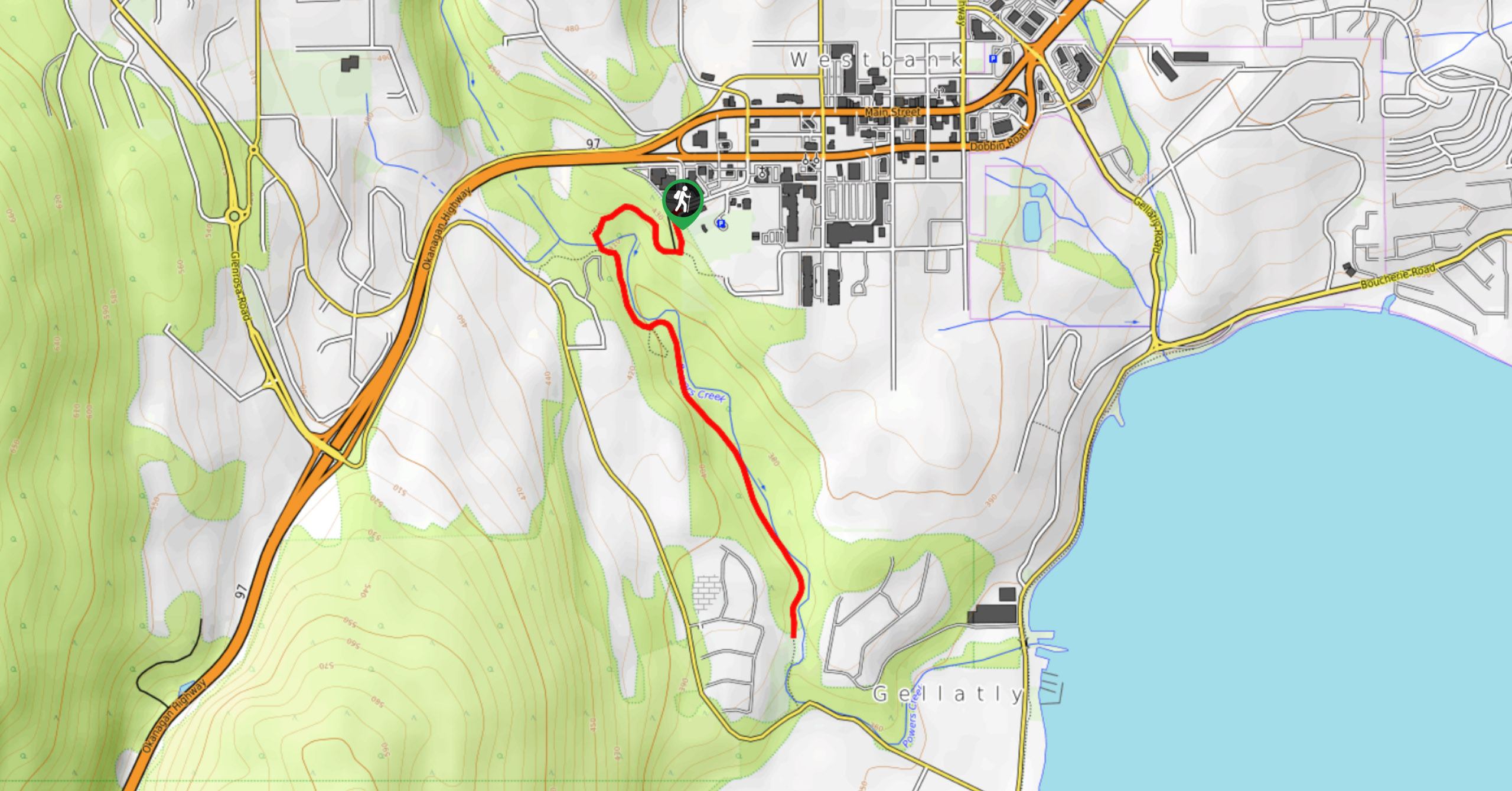
The Glen Canyon Greenway Trail, located in West Kelowna, is a family-friendly hike that blends flat, easy-going terrain with more…
Blue Grouse Mountain Hike
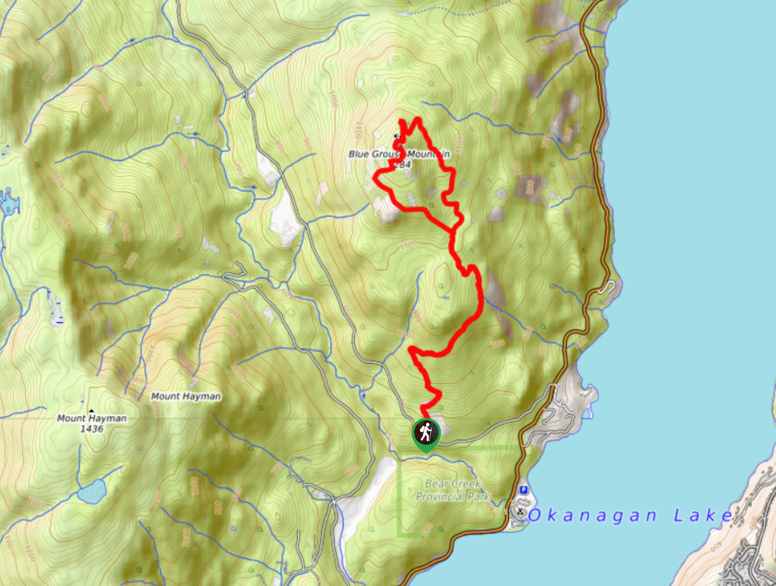
The Blue Grouse Mountain Hike near Kelowna, BC, is a challenging hike that carries you up a steep ascent to…


Comments