

University Trail
View PhotosUniversity Trail
Difficulty Rating:
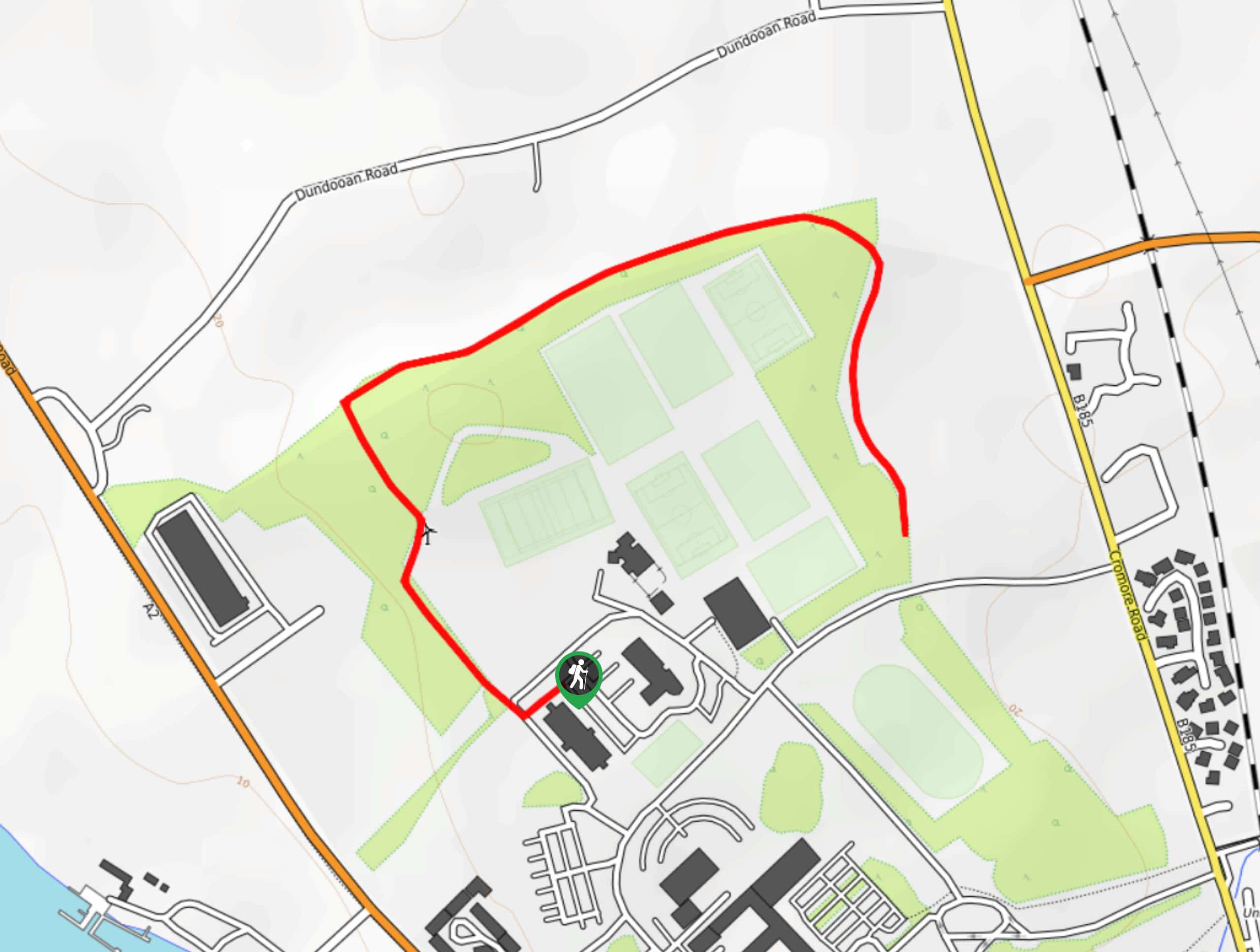
Walking the University Trail is a laid back experience in Coleraine, Northern Ireland that will allow you to explore the landscape along the edge of the Ulster University campus. While out on the trail, you will follow along a forested path that borders some of the sports facilities for the university, while enjoying some scenic views of the surrounding landscape. This is a fun adventure that is perfectly suited for all skill levels and makes for a great study break.
Getting there
The trailhead for The University Trail can be found at car park 8 at the northwest corner of the University of Ulster campus in Coleraine.
About
| Backcountry Campground | No |
| When to do | Year-Round |
| Pets allowed | Yes - On Leash |
| Family friendly | Yes |
| Route Signage | Average |
| Crowd Levels | Moderate |
| Route Type | Out and back |
University Trail
Elevation Graph
Weather
University Trail Description
Whether you are after a short walk for some exercise or are taking a quick study break, the University Trail in Coleraine is an excellent way to get out for some fresh air and enjoy nature. This short out-and-back route will lead you around the edge of Ulster University’s campus and expose you to the woodlands and open fields of the surrounding landscape.
Setting out from the car park, you will make your way to the northwest along the edge of the playing fields and enter into the cover of the forest. From here, you will turn to the east and continue under the shady canopy, eventually turning to the southeast as you pass by several other sports fields. After reaching the terminus of the trail, simply turn back and retrace your steps through the woods on the return to the car park where you began your quick adventure.
Similar hikes to the University Trail hike

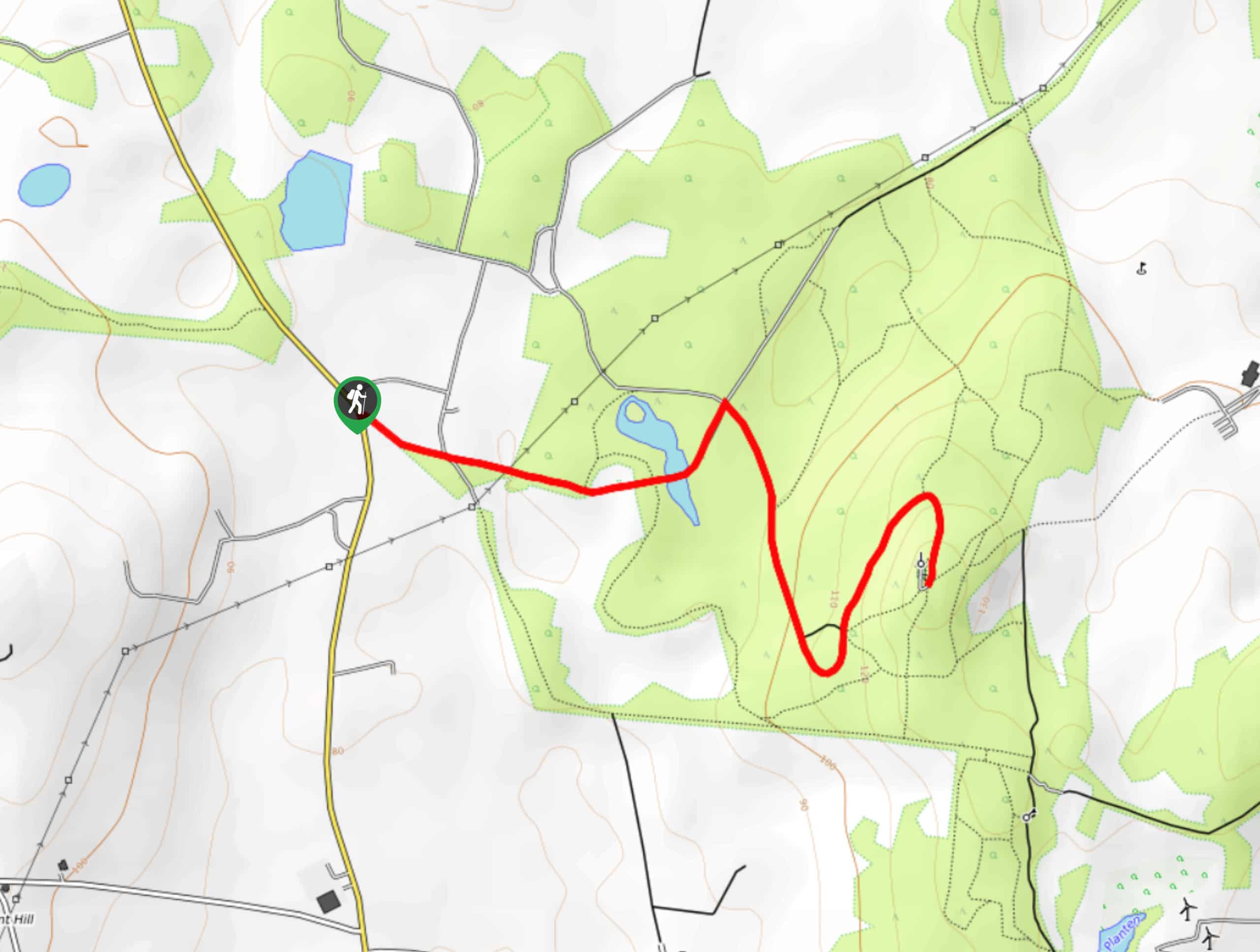
Helen’s Tower Walk
The Helen’s Tower Walk is a quick adventure in County Down that will lead you slightly uphill to an historic…

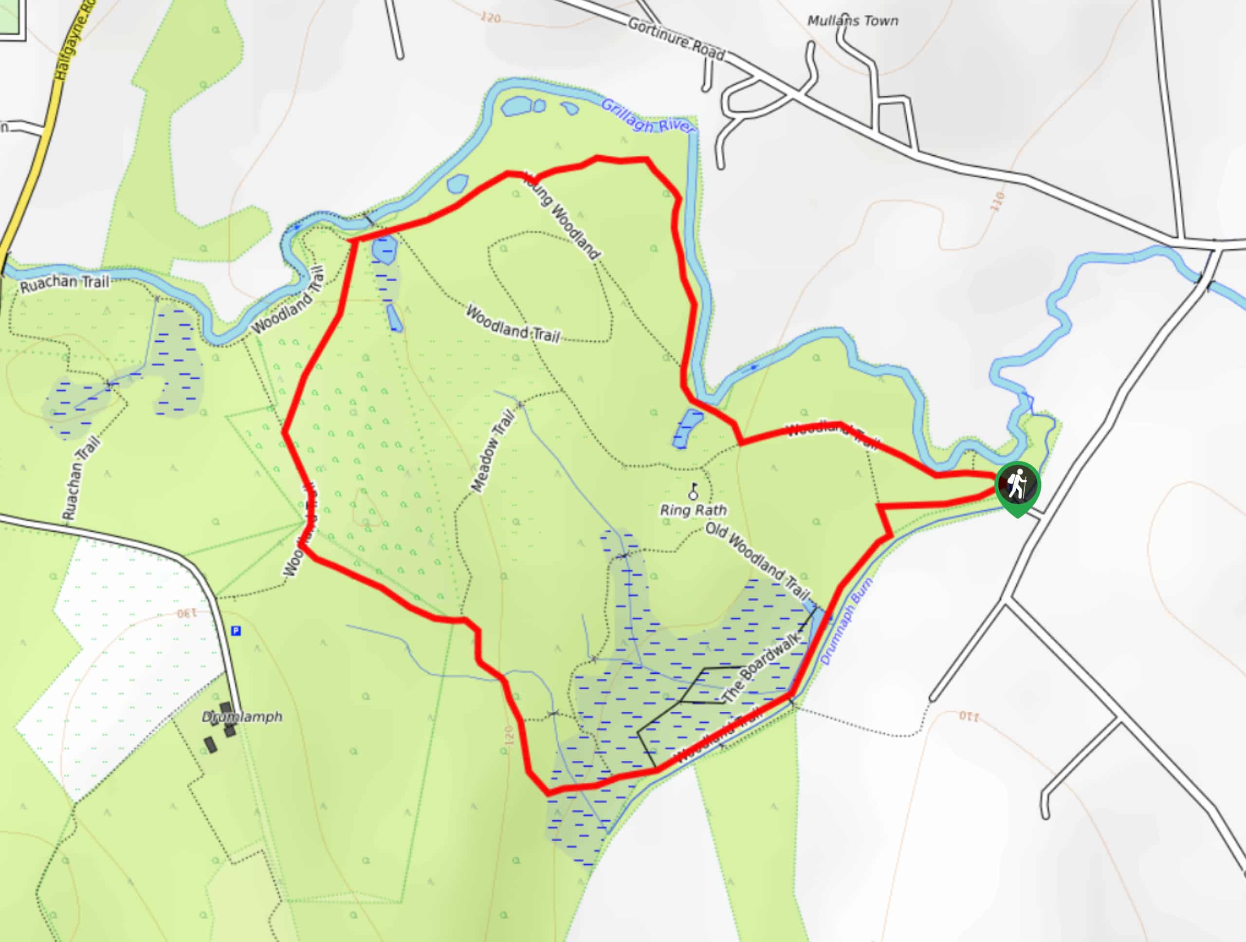
Drumnaph Nature Reserve Walk
The Drumnaph Nature Reserve Walk is a fun outdoor excursion that will lead you through a variety of landscapes offering…

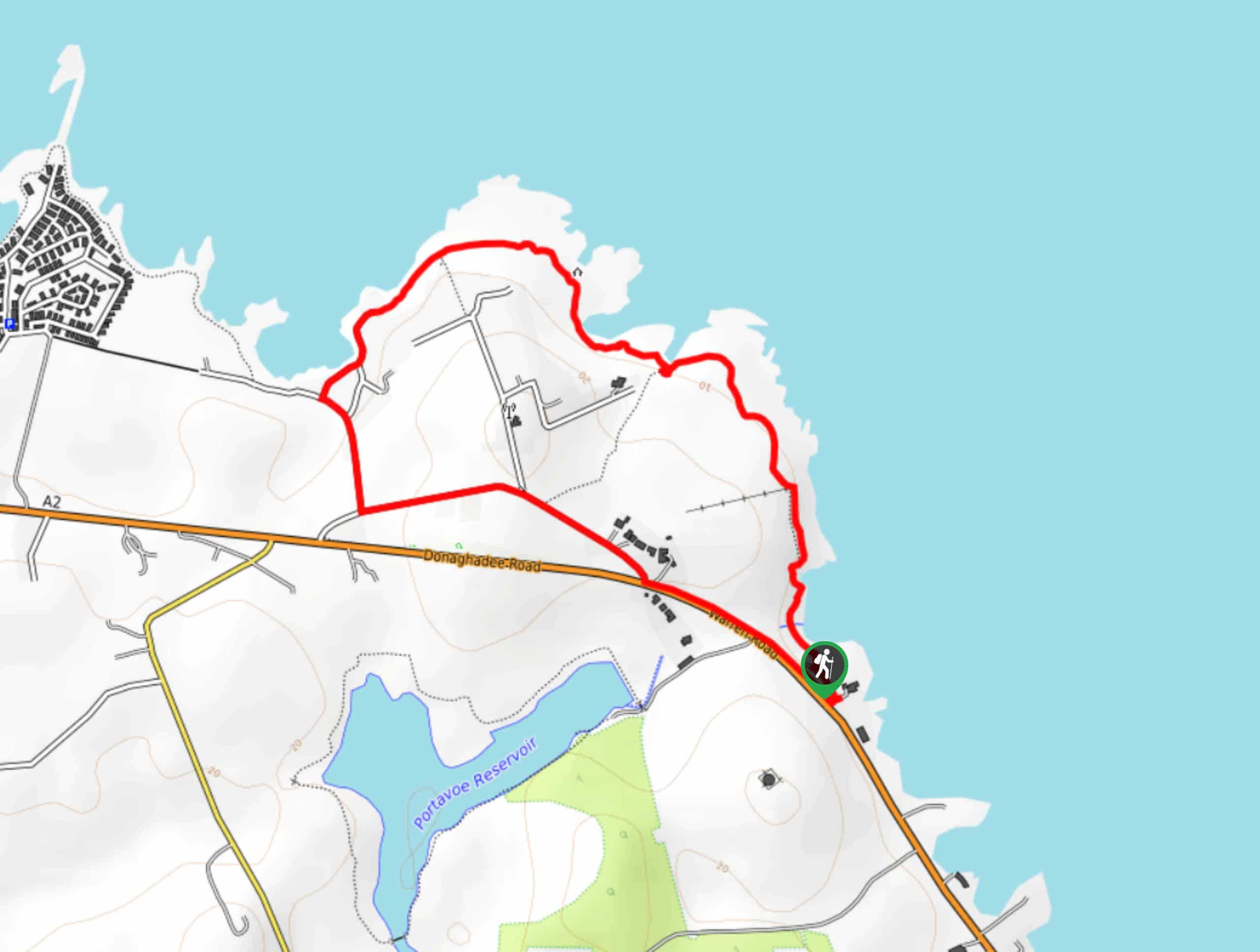
Orlock Point Walk
The Orlock Point Walk is a beautifully scenic coastal adventure in County Down, Northern Ireland that offers some nice views…


Comments