

Slieve Gallion Walk
View PhotosSlieve Gallion Walk
Difficulty Rating:
The Slieve Gallion Walk is an exceptional route in Northern Ireland that will see you traverse a variety of terrain types in order to reach a stunning viewpoint over the surrounding landscape. While out walking the trail, you will make your way through the atmospheric Iniscarn Forest, climbing uphill across the two summits of Slieve Gallion for some commanding views of the countryside. Portions of this walk can be a bit of a challenge; however, the amazing views along the trail are well worth the effort.
Getting there
The trailhead for the Slieve Gallion Walk can be found roughly 5.0mi west of Magherafelt at a layby near the corner of Brackagh Road and Iniscarn Road.
About
| Backcountry Campground | No |
| When to do | Year-Round |
| Pets allowed | Yes |
| Family friendly | Older Children only |
| Route Signage | Average |
| Crowd Levels | Moderate |
| Route Type | Out and back |
Slieve Gallion Walk
Elevation Graph
Weather
Slieve Gallion Walk Description
If you are looking for an intermediate length adventure in Northern Ireland that offers the chance to experience a variety of terrain and breathtaking views of the surrounding area, then you will want to plan a day out on the Slieve Gallion Walk in the Sperrins AONB. Be sure to wear sturdy walking boots with good support, as there is some uneven and steep ground along the route.
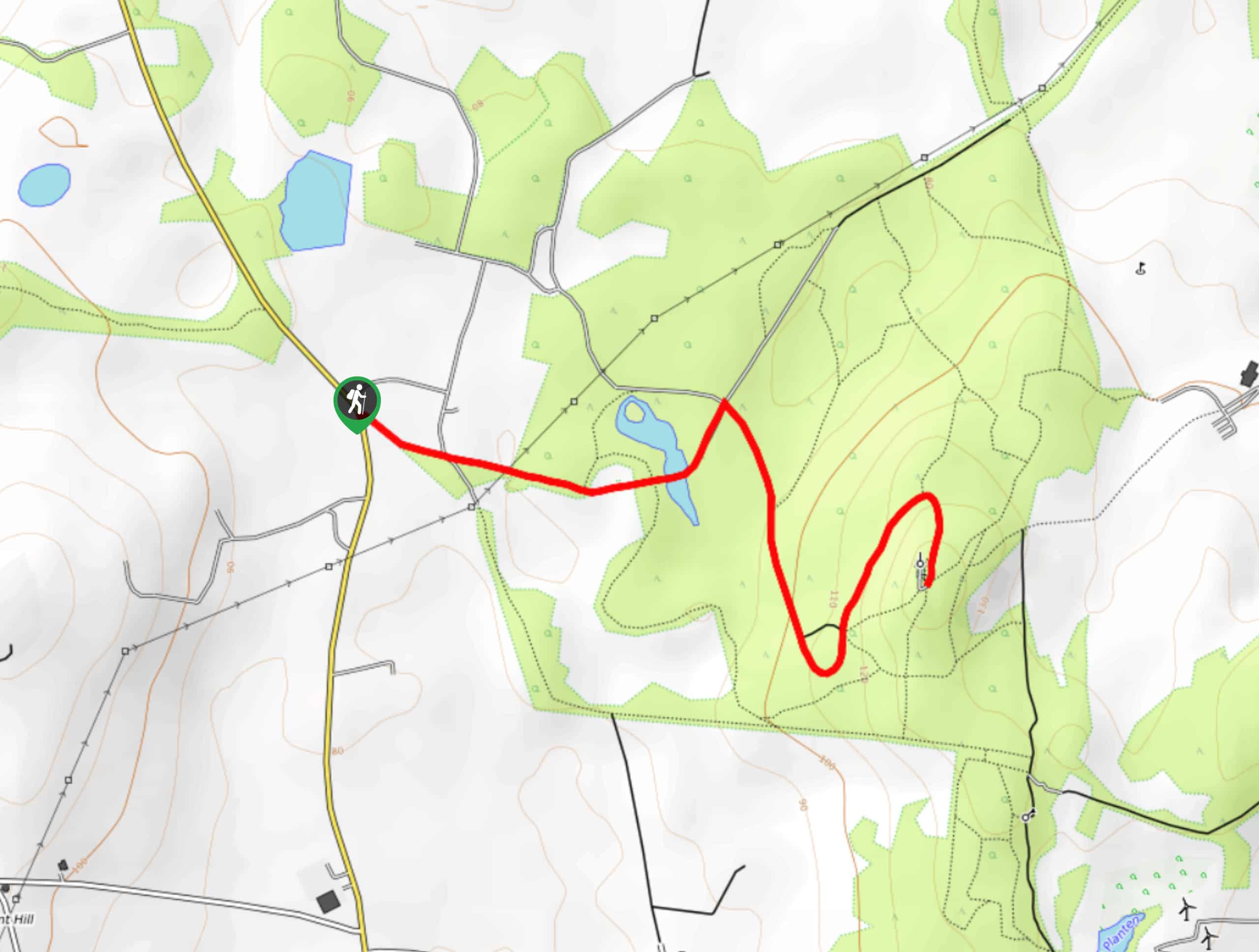
Setting out from the trailhead off Iniscarn Road, you will make your way to the southwest and enter into the cover of Iniscarn Forest. Here, you will climb uphill through the wonderfully atmospheric woodland landscape, as you gain elevation on the way to the summits of Slieve Gallion.
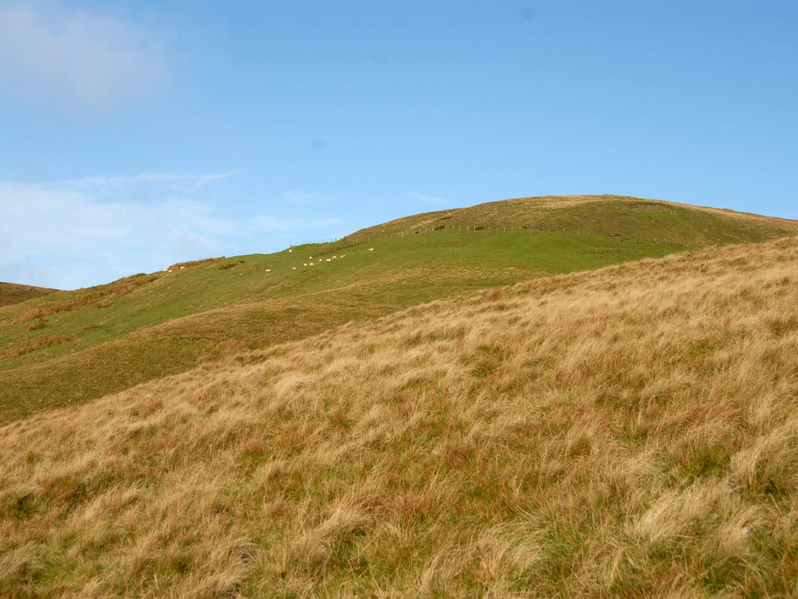
After exiting the tree cover, you will push up the steep mountainside to reach the northeast summit of the mountain and be greeted by sweeping views of the surrounding area. From here, you will continue along the trail to the southwest, climbing slightly further uphill to reach the second summit of Slieve Gallion. This higher vantage point will produce more of the same amazing views, including the waters of Lough Neagh to the southeast. After taking in the sights, make your way back down the same way that you came in order to return to the trailhead.
Similar hikes to the Slieve Gallion Walk hike

Helen’s Tower Walk
The Helen’s Tower Walk is a quick adventure in County Down that will lead you slightly uphill to an historic…

Annalong Wood and Blue Lough Circular Walk
The Annalong Wood and Blue Lough Circular Walk is a rugged and challenging adventure in the Mourne Mountains of Northern…

Drumnaph Nature Reserve Walk
The Drumnaph Nature Reserve Walk is a fun outdoor excursion that will lead you through a variety of landscapes offering…


Comments