Slieve Donard Trail
View Photos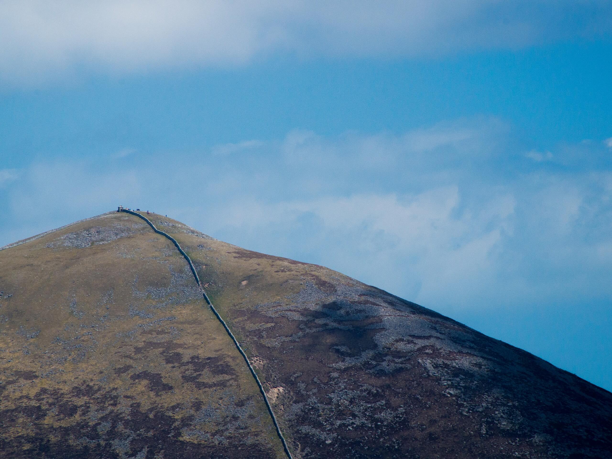
Slieve Donard Trail
Difficulty Rating:
The Slieve Donard Trail is a breathtaking adventure in Northern Ireland that will take you across varied terrain to reach the summit of the country’s highest mountain. While out on the trail, you will traverse a serene stretch of woodland terrain, before climbing uphill along a stone track for views overlooking the Irish Sea from the summit of Slieve Donard. There may be a well-maintained pathway up to the summit, but don’t underestimate the difficulty of this spectacular route!
Getting there
The trailhead for the Slieve Donard Trail can be found at Donard Park in Newcastle, just off Bryansford Road.

About
| Backcountry Campground | No |
| When to do | Year-Round |
| Pets allowed | Yes - On Leash |
| Family friendly | Older Children only |
| Route Signage | Average |
| Crowd Levels | High |
| Route Type | Out and back |
Slieve Donard Trail
Elevation Graph
Weather
Slieve Donard Trail Description
The Slieve Donard Trail is a beautiful, and at times challenging, adventure that will lead you up to the summit of Northern Ireland’s highest peak. This inevitably makes it a popular route for a wide range of walkers, so be sure to arrive early. Even though there is a stone footpath leading up to the summit, you will need to wear proper walking boots with good support and make sure that your level of physical fitness is up to par.
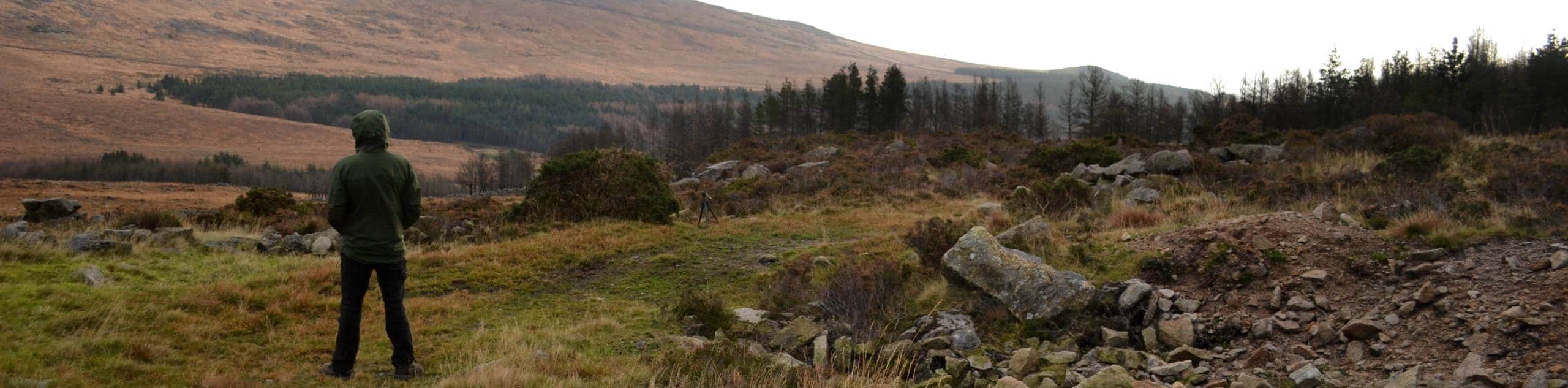
Although it may be steep in certain areas, this is an exceptional walking route that you will need to try if you find yourself in the Mourne Mountains. Stunning panoramic views overlooking the rugged terrain of Northern Ireland and the blue expanse of the Irish Sea await on this breathtaking adventure to the highest point in the country.
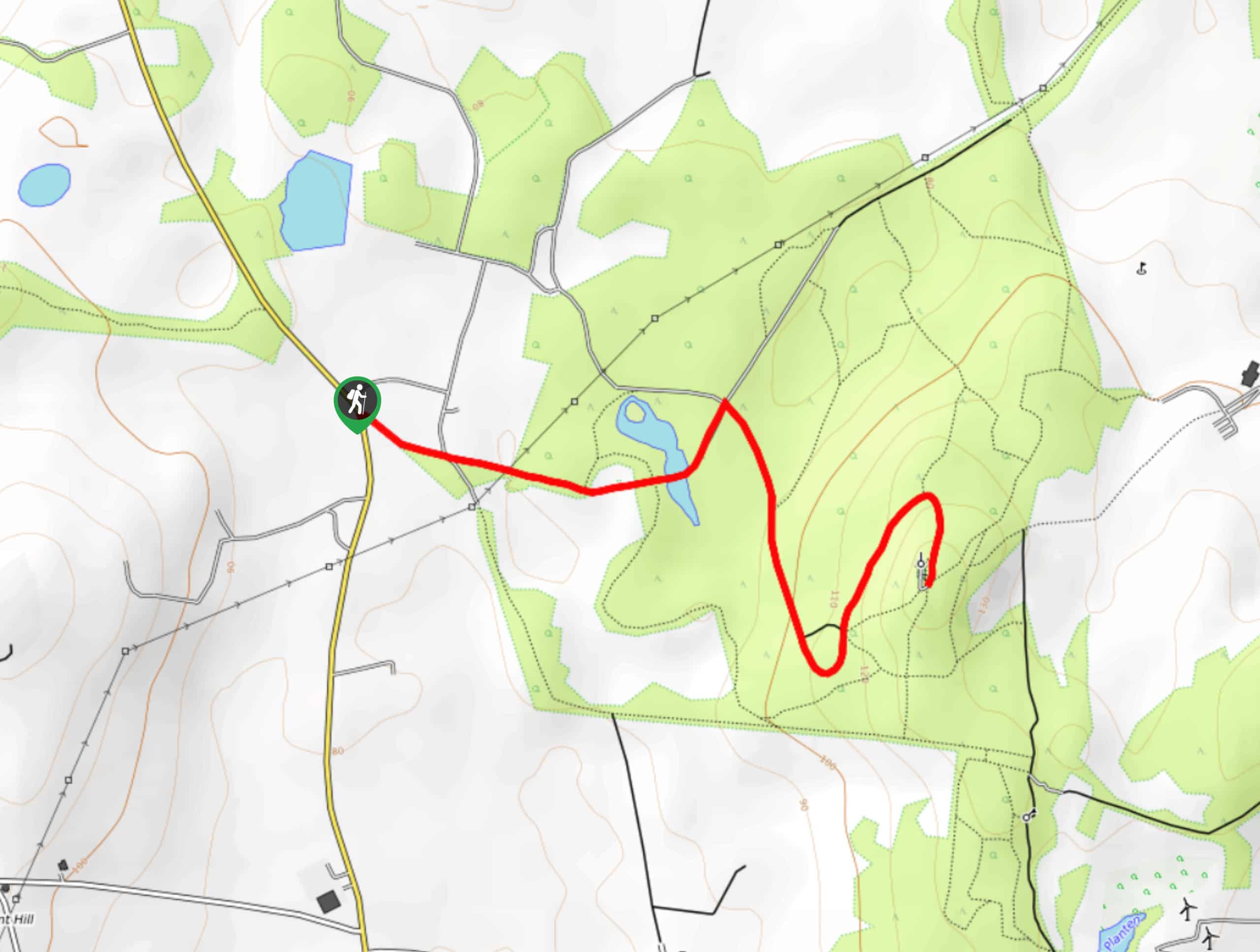
Setting out from the car park, you will make your way to the southwest and follow along the banks of the Glen River for 0.3mi, turning left to cross over the water. Shortly after passing over the river, you will pick up a footpath on the right that will continue to lead you in a southwestern direction. After walking through the serene forest of another 0.3mi, you will turn right and once again cross the river, before turning left at the first junction.
Continuing on to the southwest, you will follow along the banks of the Glen River as they eventually break free from the tree cover and begin to climb up the mountainside towards Slieve Donard. Using the river and stone pathway as your guides, you will follow this riverside path for the next 1.87mi, working your way uphill into the rugged expanse of the Mourne Mountains.
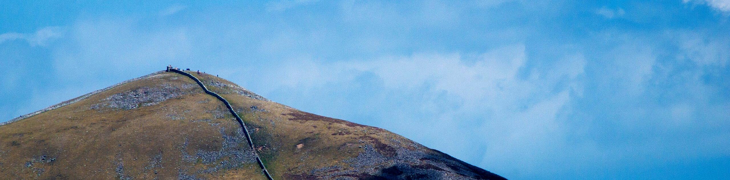
After arriving at a junction, you will turn to the left and make the steep final ascent of Slieve Donard, where you will enjoy stunning views of the surrounding landscape and Irish Sea from the summit of the mountain. After taking in the views, carefully make your way down the mountainside along the same route to eventually return to the car park where you began your adventure along the SLieve Donard Trail.
Trail Highlights
Slieve Donard
Standing at 2789ft, Slieve Donard is the highest mountain in Northern Ireland and is the 7th highest on the entire island. The peak can be found in the northeastern edge of the Mourne Mountains and overlooks the surrounding landscape and Irish Sea. While the mountain has early ties to Irish mythology, its current name is derived from Saint Donard, who was said to have made the summit his hermitage.
Frequently Asked Questions
Is there a path up Slieve Donard?
Yes, there is a stone path leading up to the summit.
Where is the highest mountain in Northern Ireland?
Standing at 2789ft above sea level, Slieve Donard is the highest mountain in Northern Ireland and the 7th highest in all of Ireland.
Insider Hints
Make sure to wear proper walking boots with good support.
Bring plenty of water for this adventure.
Parking at Donard Park in Newcastle is free.
Similar hikes to the Slieve Donard Trail hike
Helen’s Tower Walk
The Helen’s Tower Walk is a quick adventure in County Down that will lead you slightly uphill to an historic…
Annalong Wood and Blue Lough Circular Walk
The Annalong Wood and Blue Lough Circular Walk is a rugged and challenging adventure in the Mourne Mountains of Northern…
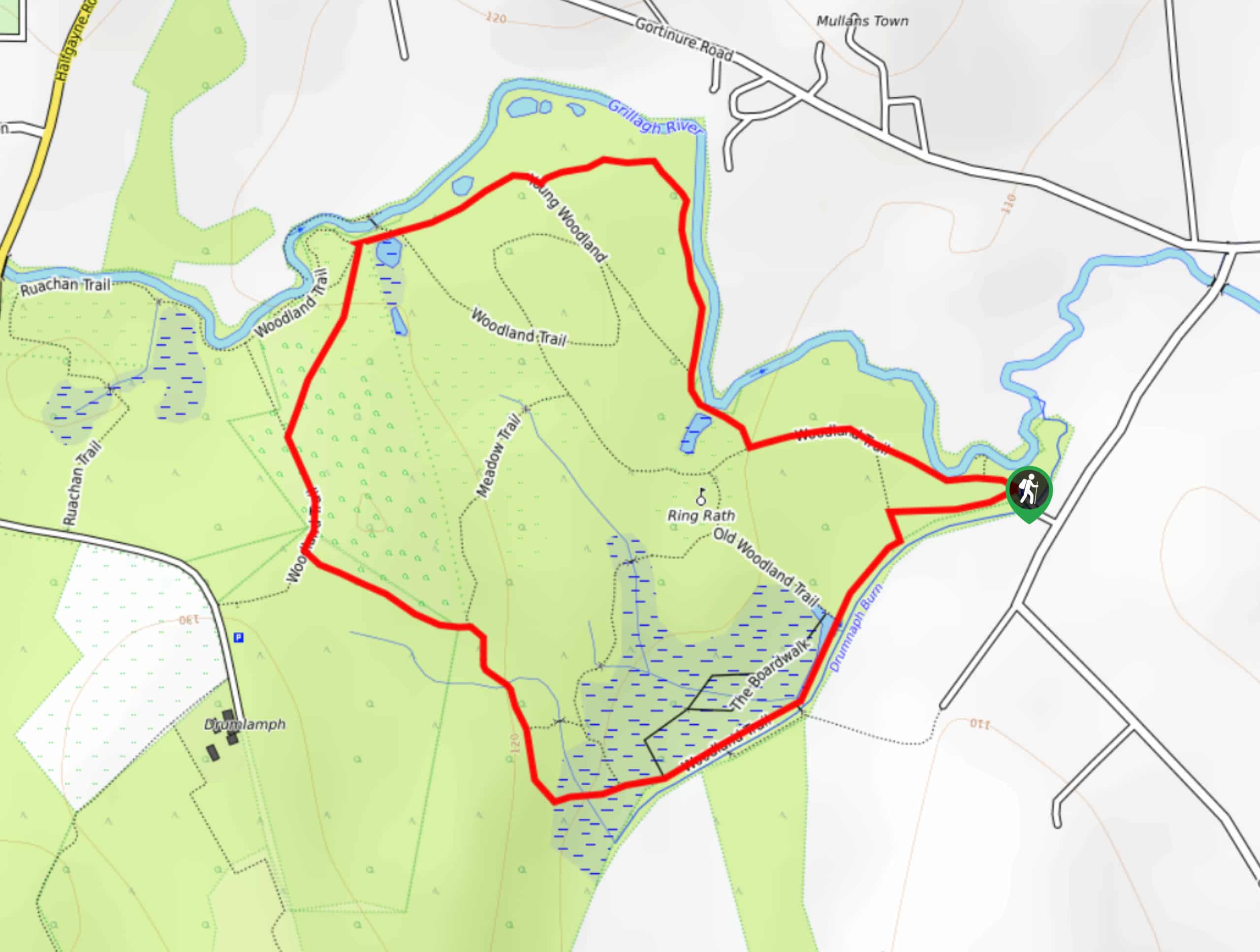
Drumnaph Nature Reserve Walk
The Drumnaph Nature Reserve Walk is a fun outdoor excursion that will lead you through a variety of landscapes offering…
Comments