

Slemish Path
View PhotosSlemish Path
Difficulty Rating:
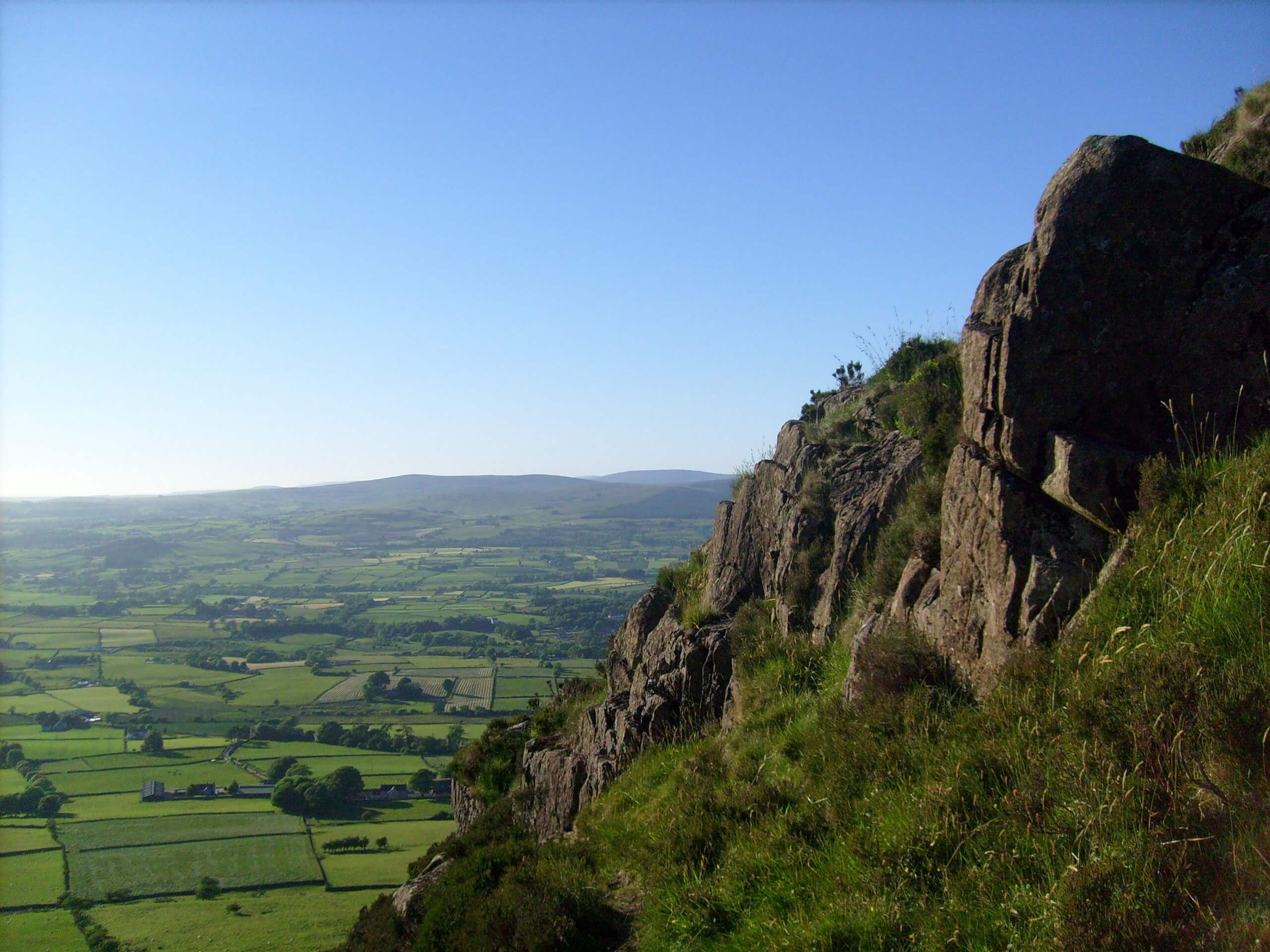
The Slemish Path is a short adventure in County Antrim, Northern Ireland that will take you uphill for views across the surrounding landscape. While out walking the trail, you will climb the steep slopes of Slemish and enjoy views of nearby hills, before looping around the peak on the descent. This route may be short, but it features steep and rugged terrain that will require proper walking footwear.
Getting there
The trailhead for the Slemish Path can be found at the Slemish Car Park just off Carnstroan Lane.
About
| Backcountry Campground | No |
| When to do | Year-Round |
| Pets allowed | Yes - On Leash |
| Family friendly | Yes |
| Route Signage | Average |
| Crowd Levels | Moderate |
| Route Type | Lollipop |
Slemish Path
Elevation Graph
Weather
Slemish Path Description
If you have been searching for a short but intense journey in Northern Ireland that will lead you up a steep peak for breathtaking views overlooking County Antrim, then you will definitely want to explore the Slemish Path. Legend has it that St. Patrick, while enslaved, tended to sheep on the mountain for a period of six years. This walk should only take 1-1.5h, but the steep nature of the route will be sure to get your heartrate up!
Setting out from the Slemish car park off of Carnstroan Lane, you will head to the southeast and traverse the lower slopes of the mountain, working your way around to its backside in order to climb up the eastern slope. After reaching the summit, you will enjoy breathtaking panoramic views across the sprawling fields and hills of the surrounding area. From here, you will continue along the loop and descend the mountainside to make the return back to the car park.
Similar hikes to the Slemish Path hike

Helen’s Tower Walk
The Helen’s Tower Walk is a quick adventure in County Down that will lead you slightly uphill to an historic…

Drumnaph Nature Reserve Walk
The Drumnaph Nature Reserve Walk is a fun outdoor excursion that will lead you through a variety of landscapes offering…

Orlock Point Walk
The Orlock Point Walk is a beautifully scenic coastal adventure in County Down, Northern Ireland that offers some nice views…


Comments