
Orlock Point Walk
View Photos
Orlock Point Walk
Difficulty Rating:
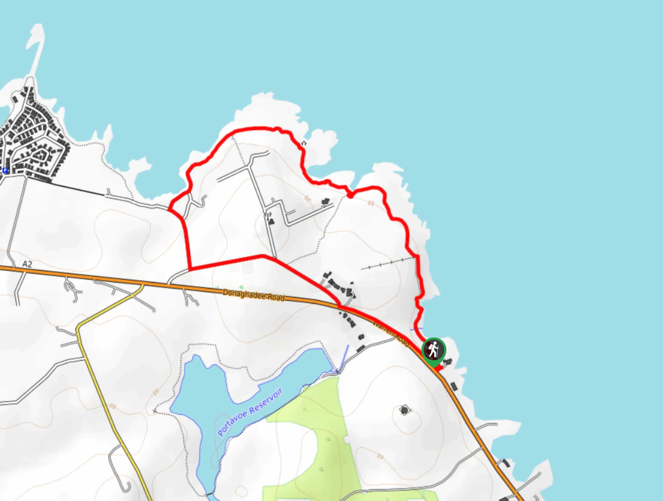
The Orlock Point Walk is a beautifully scenic coastal adventure in County Down, Northern Ireland that offers some nice views of the North Irish Sea. While out on the trail, you will traverse the rugged coastal terrain of Orlock Point and take in views of Sandeel Bay and Belfast Lough further afield, before heading inland on the return. This is a quick and easy route if you are looking for some lovely seaside views.
Getting there
The trailhead for the Orlock Point Walk can be found 2.4mi northwest of Donaghadee at the National Trust Orlock Point car park on Warren Road/A2.

About
| Backcountry Campground | No |
| When to do | Year-Round |
| Pets allowed | Yes - On Leash |
| Family friendly | Yes |
| Route Signage | Average |
| Crowd Levels | Moderate |
| Route Type | Lollipop |
Orlock Point Walk
Elevation Graph
Weather
Orlock Point Walk Description
If you find yourself in the Bangor area and are hoping to experience some beautiful views of both the Irish Sea and Belfast Lough, then you will be sure to enjoy the Orlock Point Walk. This fun trail will take you along the coast in short order, allowing you to take in the beauty of the coast without filling up your entire day.
Setting out from the car park, you will head to the north and follow along the water’s edge while taking in the beautiful views of the sea. Eventually, the trail will turn to the west along the edge of Orlock Point, where you will enjoy some views at the mouth of Belfast Lough and Sandeel Bay along the coast in front of you. From here, you will begin to make your way inland and pass by an old Coast Guard station, following along Orlock road as it leads you to the southeast towards the car park where you began.
Similar hikes to the Orlock Point Walk hike
Helen’s Tower Walk
The Helen’s Tower Walk is a quick adventure in County Down that will lead you slightly uphill to an historic…
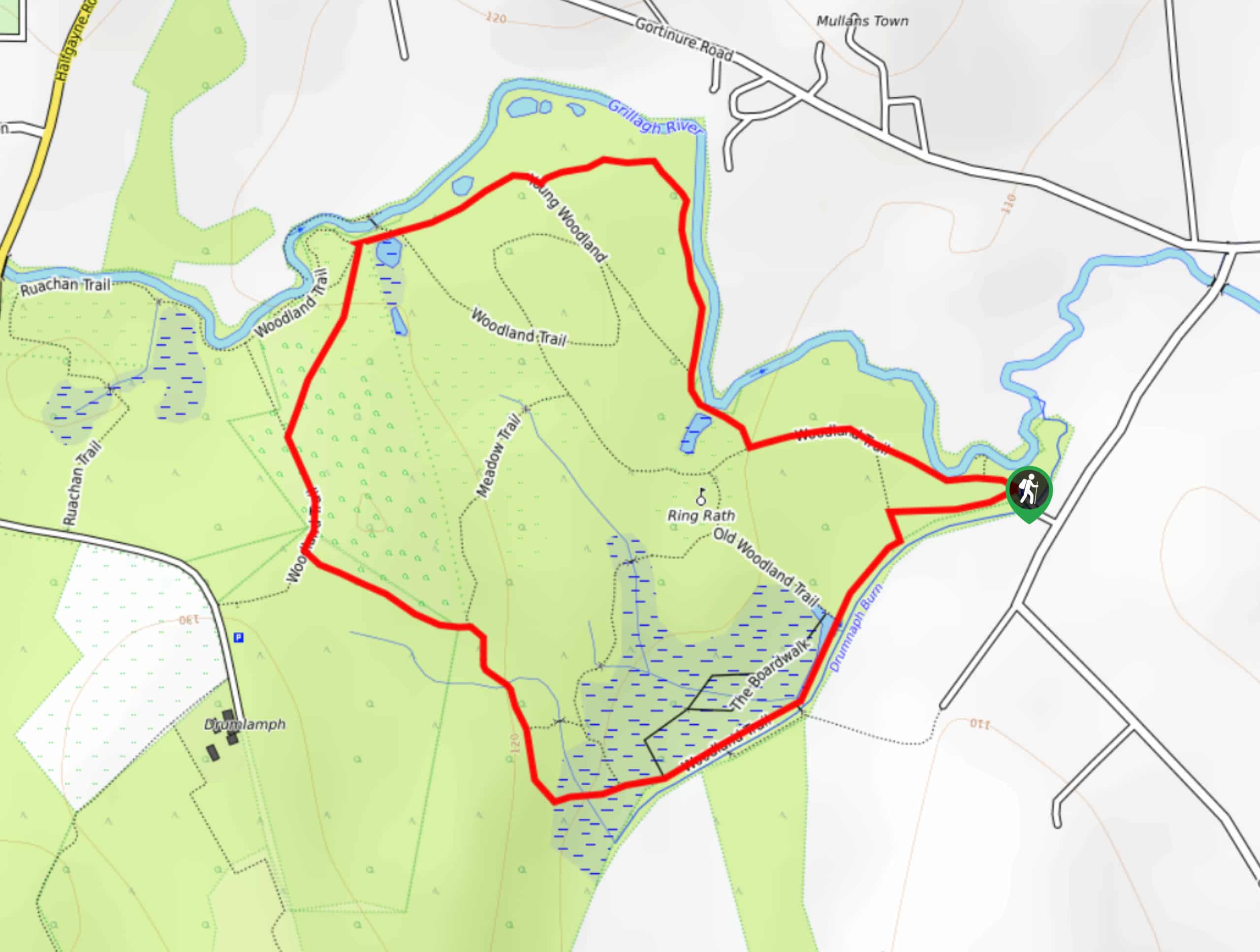
Drumnaph Nature Reserve Walk
The Drumnaph Nature Reserve Walk is a fun outdoor excursion that will lead you through a variety of landscapes offering…
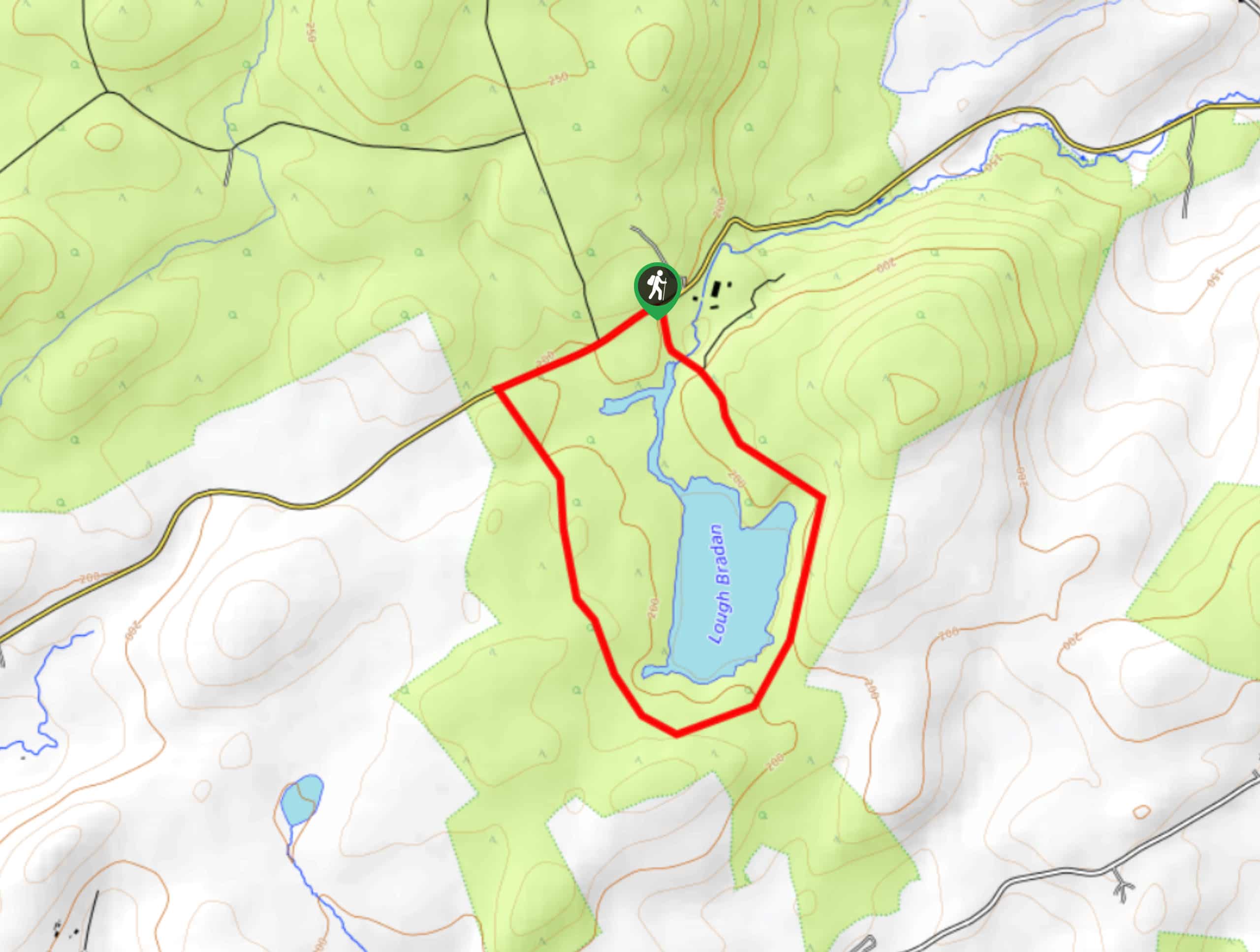
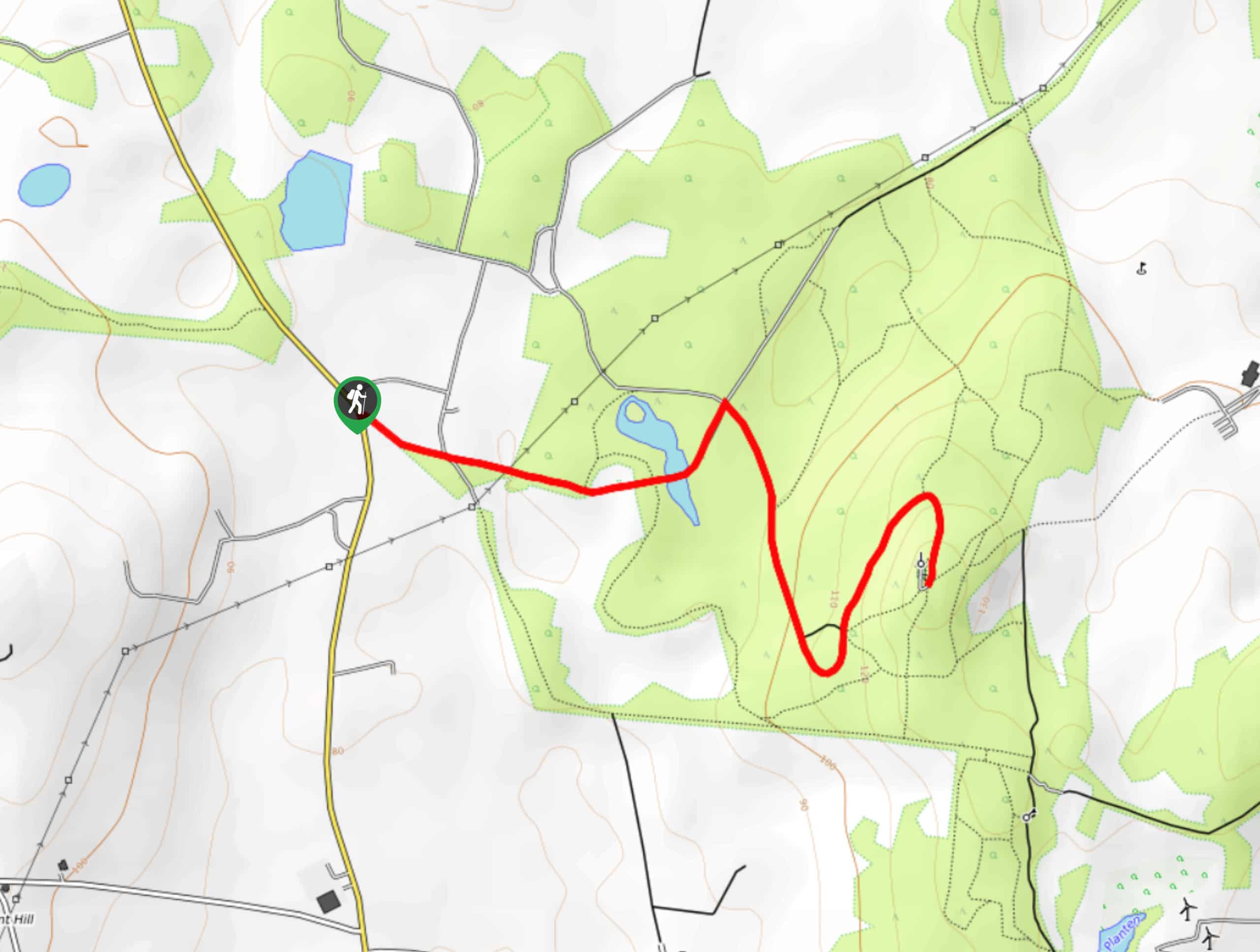
Lough Bradan Walk
The Lough Bradan Walk is a pleasant adventure in County Tyrone, Northern Ireland that offers scenic views of a small…
Comments