

Montalto Estate Woodland Trail
View PhotosMontalto Estate Woodland Trail
Difficulty Rating:
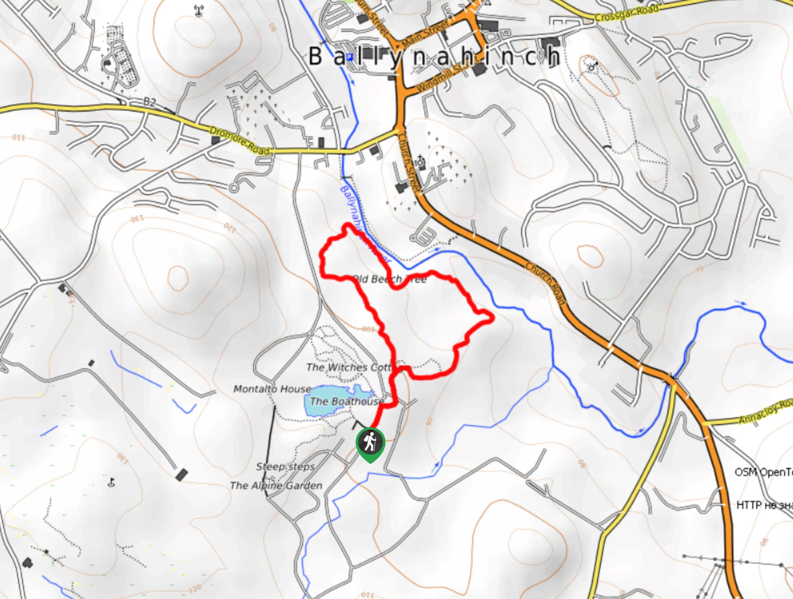
The Montalto Estate Woodland Trail is a fantastic family-friendly adventure in County Down, Northern Ireland that will take you around the grounds of an historic estate. While out walking the trail, you will explore the woodland pathways of the 17th Century Montalto Estate and take in views of the 18th Century Montalto House, before making a return along the Ballynahinch River. This is an excellent walk if you are looking to stay close to town but want to reconnect with nature on some well-manicured trails.
Getting there
The trailhead for the Montalto Estate Woodland Trail can be found southwest of Ballynahinch at the car park for The Carriage Rooms at Montalto Estate, just off Spa Road.
About
| Backcountry Campground | No |
| When to do | Year-Round |
| Pets allowed | Yes - On Leash |
| Family friendly | Yes |
| Route Signage | Average |
| Crowd Levels | Moderate |
| Route Type | Lollipop |
Montalto Estate Woodland Trail
Elevation Graph
Weather
Montalto Estate Woodland Trail Description
The Montalto Estate Woodland Trail is a quick and easy adventure through a forested estate that really doesn’t present anything in the way of difficulties along the trail. Be sure to wear comfortable shoes and keep your dog on a leash at all times.
Although it may only be a short walking route, this is a spectacular adventure if you are looking to relax in a forested setting and reconnect with nature. Along this adventure through the grounds of a 17th Century estate, you will likely be able to spot a variety of wildlife species, such as hawks, rabbits, squirrels, and foxes, so be sure to keep your eyes peeled!
Setting out from the car park, you will make your way along the road to the northeast for 250ft, before picking up a footpath on the right. From here, you will continue on for 421ft to arrive at a fork in the path. Following the trail on the left, you will keep straight through the lovely forest setting for the next 0.4mi to arrive at the banks of the Ballynahinch River.
Continue along the banks of the river as the trail takes you to the southeast for the next 0.6mi, passing by an old beech tree and the Woodland Walk Play Area to arrive back at the initial fork in the trail that you had passed earlier. Taking the path on your left, you will eventually make your way back to the trailhead where you started the Montalto Estate Woodland Trail.
Trail Highlights
Montalto Estate
Located in County Down, Northern Ireland, Montalto Estate can trace its origins as a demesne back to the early 1600s. Originally owned by Patrick McCartan, the estate was confiscated following the 1641 Rebellion and was purchased by Sir George Rawdon in 1657. In 1765, the First Earl of Moira, Sir John Rawdon, constructed the grand house which is now known as Montalto House.
Frequently Asked Questions
Is Montalto Estate dog friendly?
Yes, Montalto Estate is dog friendly, although they will need to remain on a leash at all times.
When was Montalto House built?
Montalto Estate was constructed in 1765 by the Earl of Moira.
Insider Hints
Wear comfortable walking shoes.
Make sure your dogs are on a leash at all times.
Keep an eye out for wildlife, such as hawks, rabbits, squirrels, and foxes.
Similar hikes to the Montalto Estate Woodland Trail hike

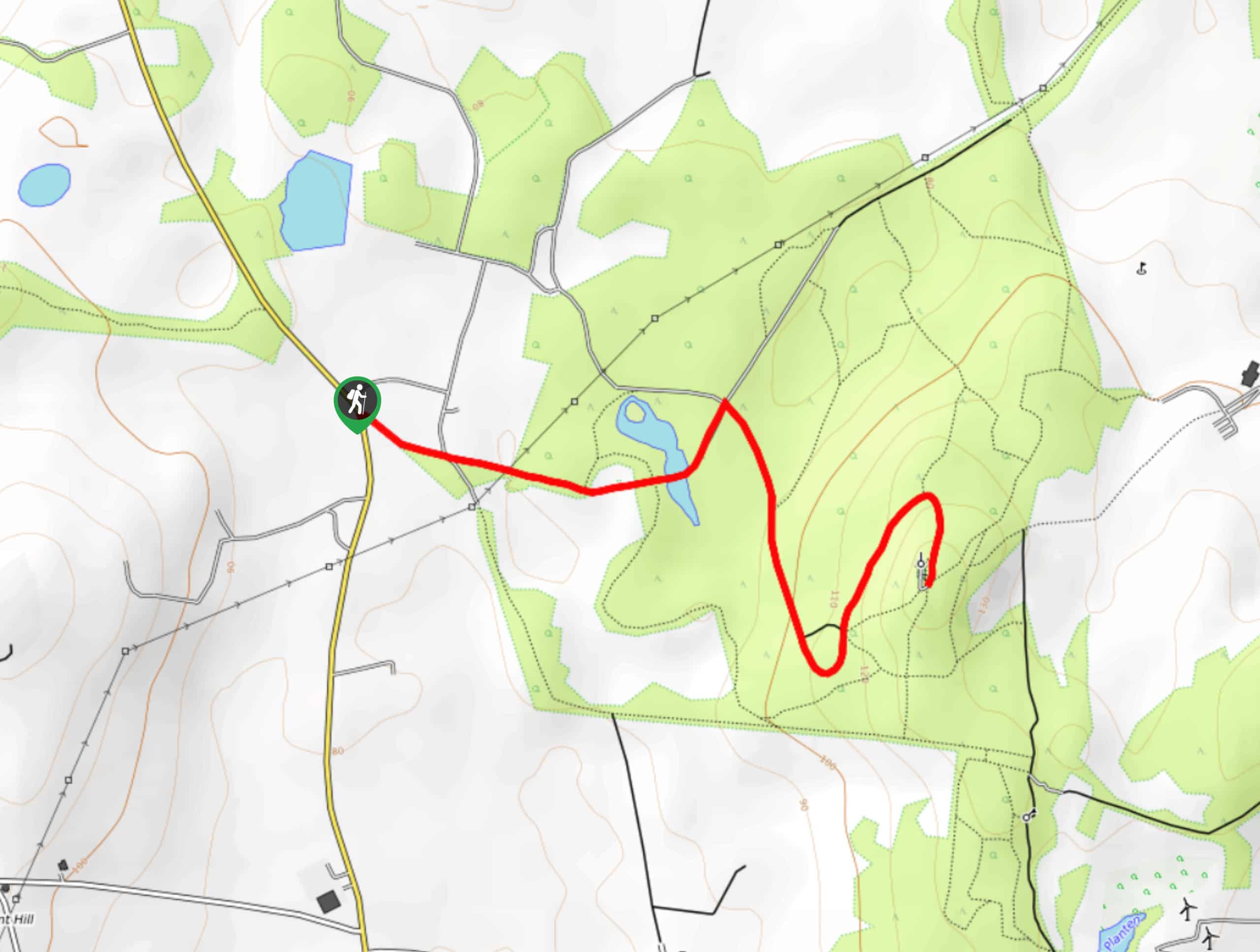
Helen’s Tower Walk
The Helen’s Tower Walk is a quick adventure in County Down that will lead you slightly uphill to an historic…

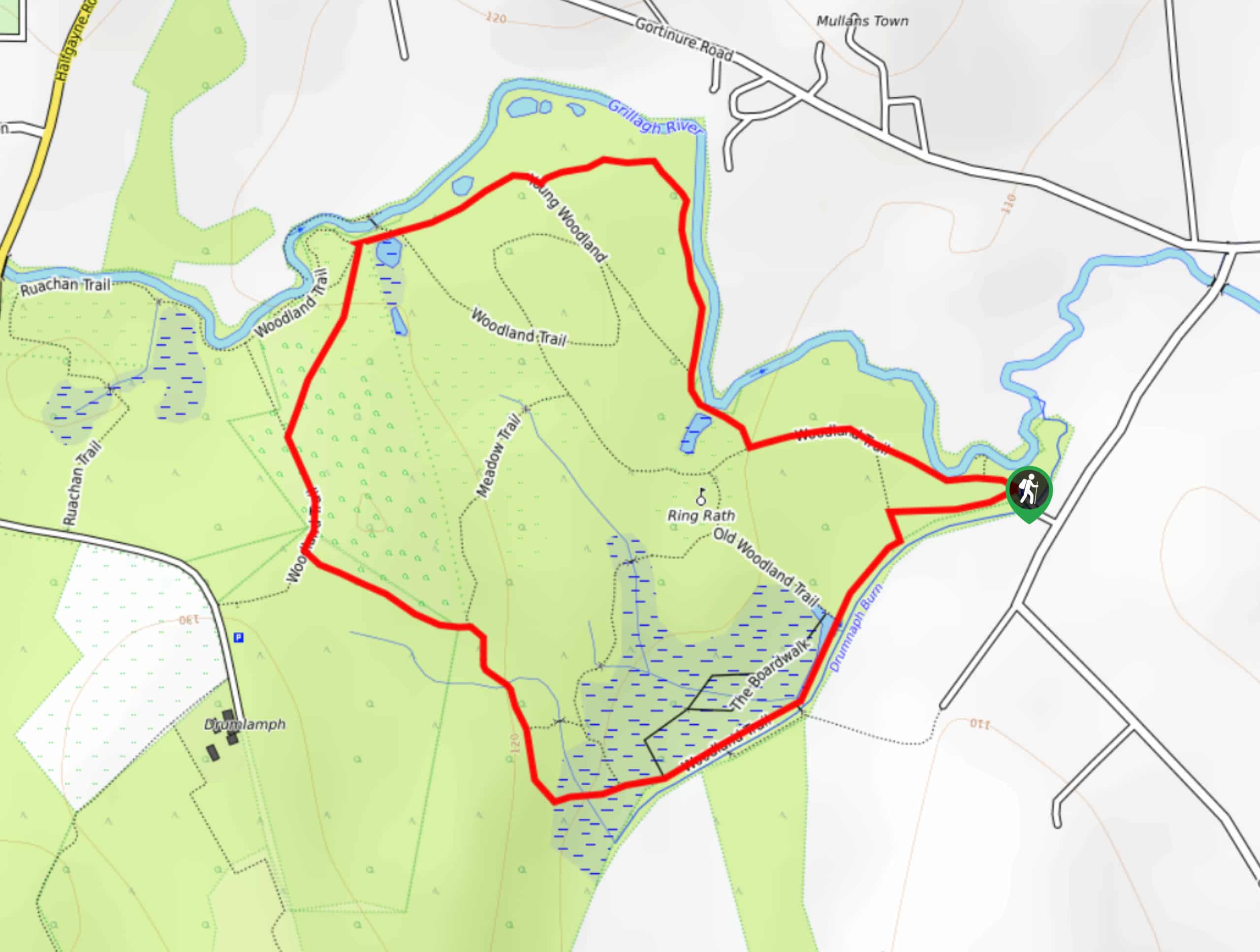
Drumnaph Nature Reserve Walk
The Drumnaph Nature Reserve Walk is a fun outdoor excursion that will lead you through a variety of landscapes offering…

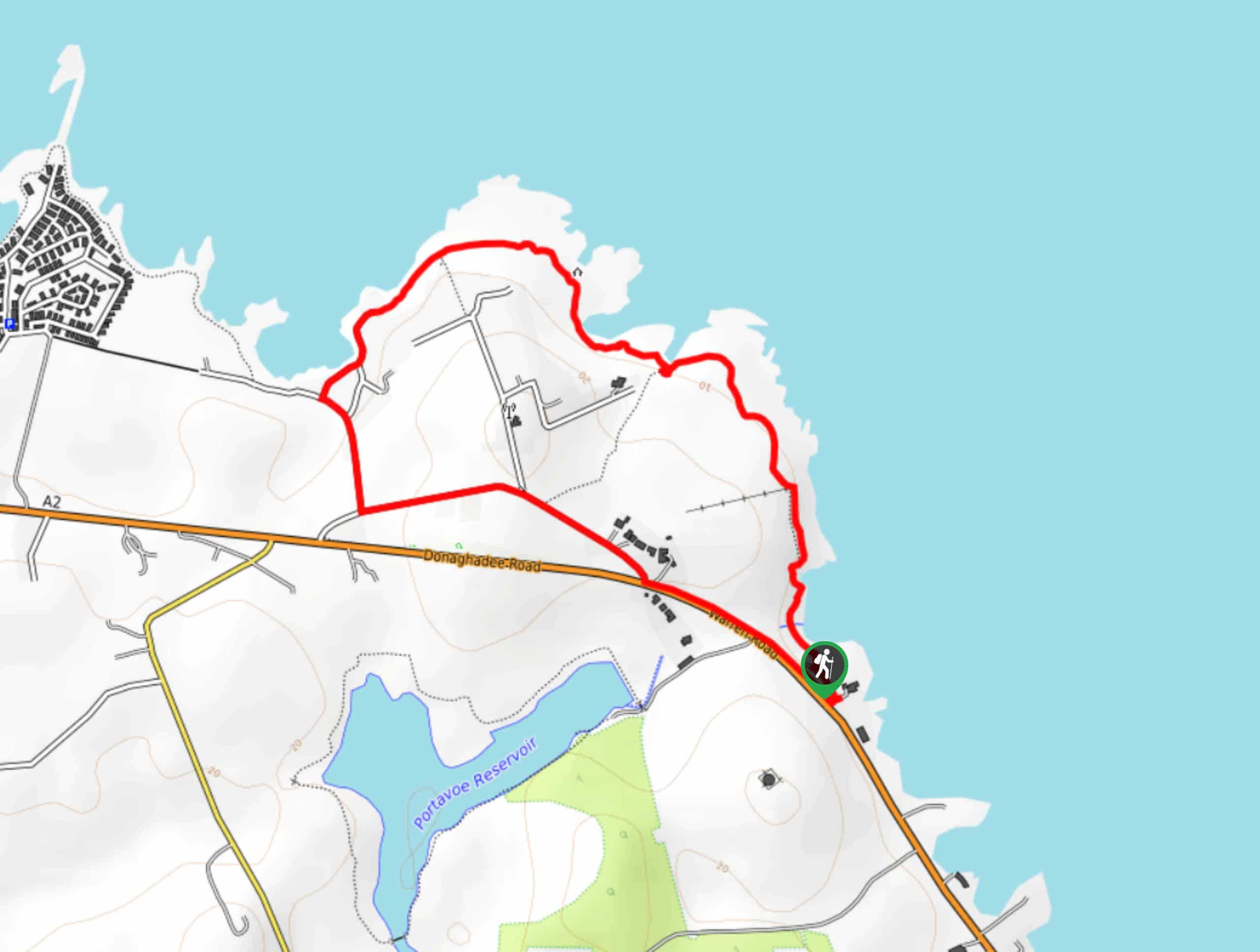
Orlock Point Walk
The Orlock Point Walk is a beautifully scenic coastal adventure in County Down, Northern Ireland that offers some nice views…


Comments