Lagan Towpath Walk
View Photos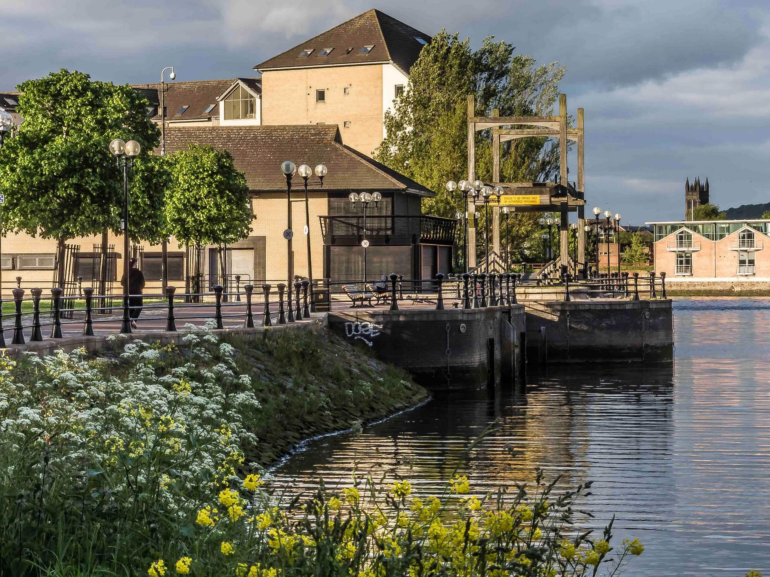
Lagan Towpath Walk
Difficulty Rating:
The Lagan Towpath Walk is a fantastic outdoor excursion in Belfast that will take you along the banks of a winding river for some beautiful views. While out walking the trail, you will follow along the Lagan River as it takes you from Belfast to Lisburn, providing you with access to numerous city greenspaces along the way. Walkers should take note that this is a one-way trail, so be sure to either arrange a pick up or plan on using transit for the return leg of the journey.
Getting there
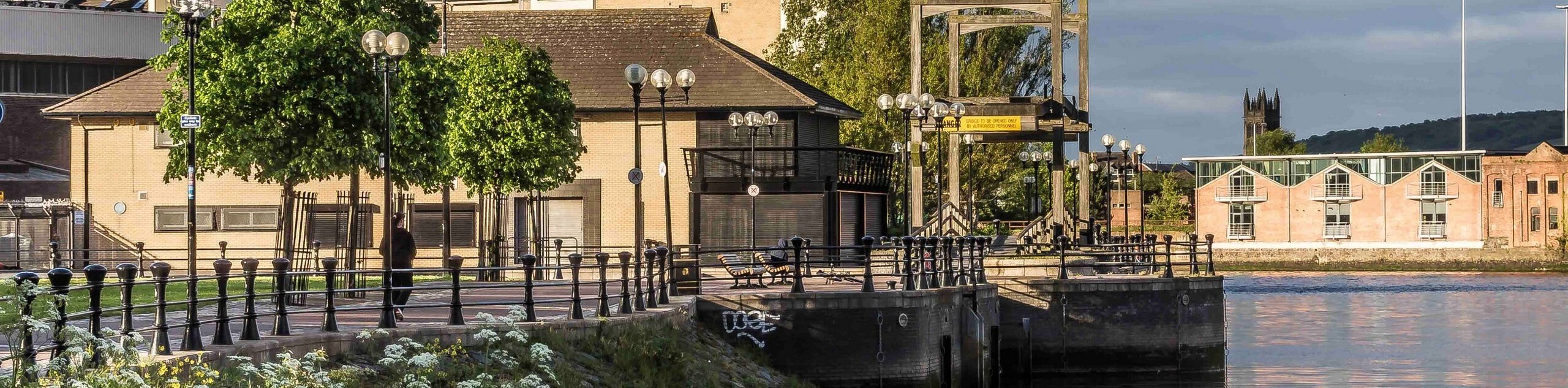
The trailhead for the Lagan Towpath Walk can be found just northwest of the Belfast Rowing Club on Lockview Road.

About
| Backcountry Campground | No |
| When to do | Year-Round |
| Pets allowed | Yes - On Leash |
| Family friendly | Older Children only |
| Route Signage | Average |
| Crowd Levels | Moderate |
| Route Type | One Way |
Lagan Towpath Walk
Elevation Graph
Weather
Lagan Towpath Walk Description
If you enjoy spending time by the water’s edge and would like to explore the scenic greenspaces of Belfast, then you will definitely want to check out the Lagan Towpath Walk. This charming riverside adventure is a great escape from the city that will allow you to connect with nature, without actually leaving Belfast.
Setting out from the trailhead, you will make your way to the south and follow along the footpath as it skirts alongside the winding banks of the Lagan River. After making your way through the beautifully scenic expanse of the Lagan Meadows, you will cross over the river several times and eventually arrive in Edenderry.
Keep following the banks of the river as they skirt around the edge of the Malone Golf Club and bring you past the estate grounds of Wilmont House. From here, you will break away from the river and follow along the Lagan Navigational Canal, continuing on to the southwest to pass through Lisburn. After meeting back up with the river, follow it through town to pass by the Castle Gardens and hospital, after which you will arrive at the end point of the walk at Blaris Road.
Similar hikes to the Lagan Towpath Walk hike
Helen’s Tower Walk
The Helen’s Tower Walk is a quick adventure in County Down that will lead you slightly uphill to an historic…
Annalong Wood and Blue Lough Circular Walk
The Annalong Wood and Blue Lough Circular Walk is a rugged and challenging adventure in the Mourne Mountains of Northern…
Drumnaph Nature Reserve Walk
The Drumnaph Nature Reserve Walk is a fun outdoor excursion that will lead you through a variety of landscapes offering…
Comments