

Goles Forest Circular Walk
View PhotosGoles Forest Circular Walk
Difficulty Rating:
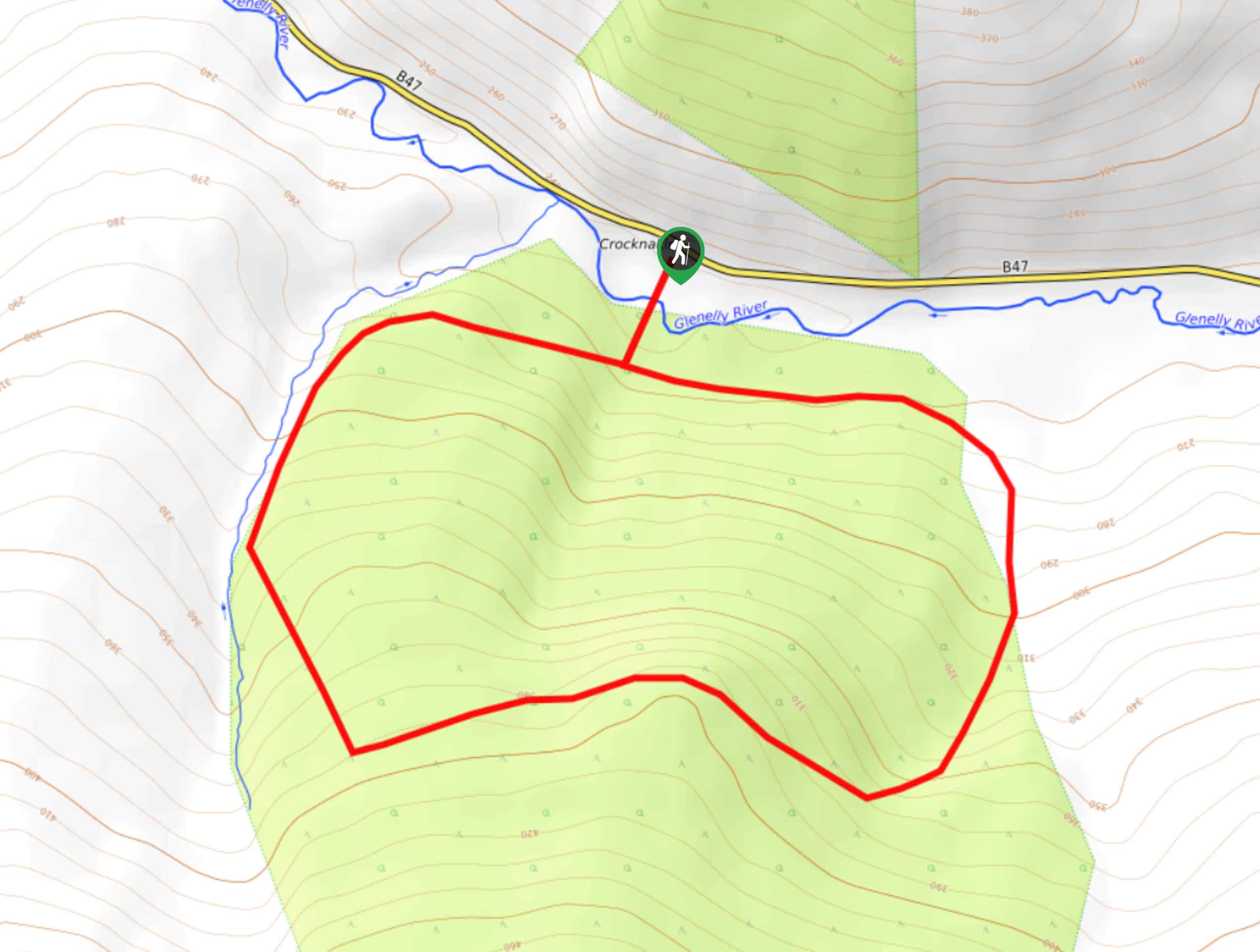
The Goles Forest Circular Walk is a fun journey in the Sperrins AONB of Northern Ireland that will lead you uphill through the forest for views of the valley. While out on the trail, you will cross over the Glenelly River and make your way up the hillside, traversing the woodland terrain while taking in the intermittent views across the Glenelly Valley. This may be a fairly short adventure; however, there is a long and steady incline at the beginning of the walk that will be sure to make you break a sweat!
Getting there
The trailhead for the Goles Forest Circular Walk can be found 7.5mi west of Draperstown at a car park on the left side of Glenelly Road/B47
About
| Backcountry Campground | No |
| When to do | Year-Round |
| Pets allowed | Yes - On Leash |
| Family friendly | Yes |
| Route Signage | Average |
| Crowd Levels | Low |
| Route Type | Lollipop |
Goles Forest Circular Walk
Elevation Graph
Weather
Goles Forest Circular Walk Description
Featuring a peaceful woodland atmosphere and little in the way of cell service, the Goles Forest Circular Walk is a perfect route if you are looking to disconnect from the outside world. Be sure to wear some proper walking boots in order to combat the sloped forest terrain along the trail.
Setting out from the car park, you will make your way to the southwest in order to cross over the Glenelly River and enter into the dense cover of the forest. Keeping to the left, you will traverse the lower slopes of Carnanelly, before turning to the south to climb up the mountainside.
After reaching the high point of the trail and taking in some beautifully scenic views overlooking the Glenelly Valley, you will continue along the trail axs it bends to the northwest and leads you downhill. Keep on as you descend the forested slopes alongside a small stream, following the path as it turns to the northeast and takes you back over the river on the return to the car park where you began.
Similar hikes to the Goles Forest Circular Walk hike
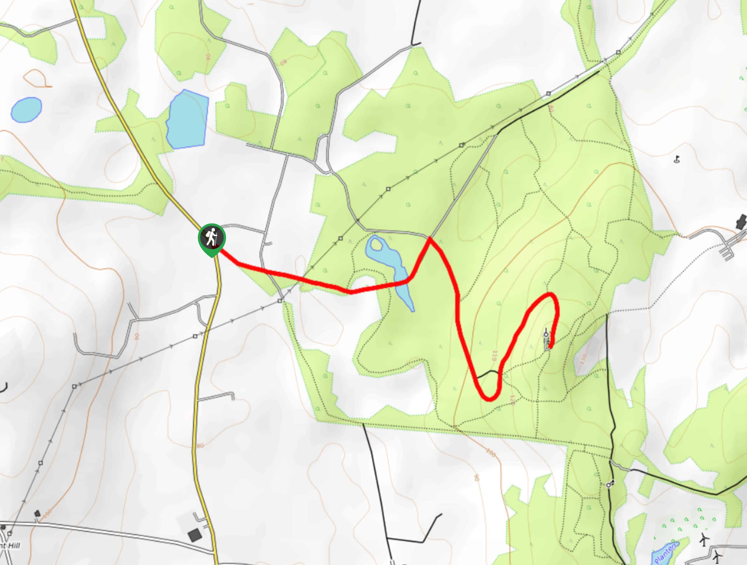
Helen’s Tower Walk
The Helen’s Tower Walk is a quick adventure in County Down that will lead you slightly uphill to an historic…
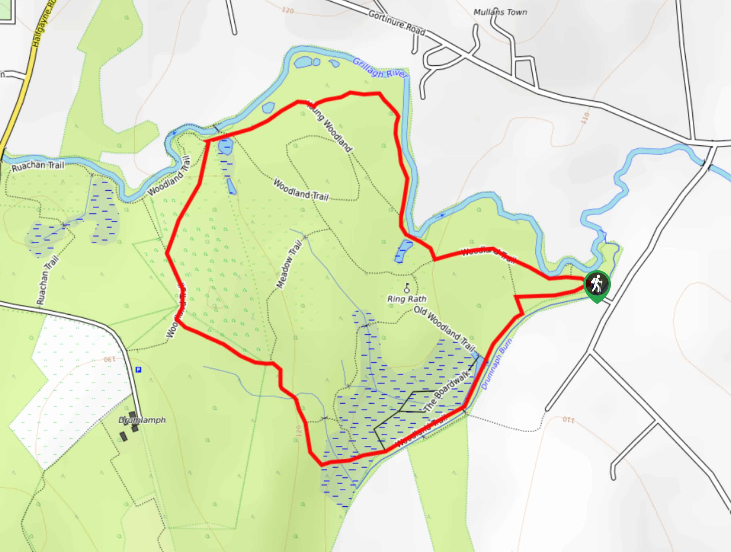
Drumnaph Nature Reserve Walk
The Drumnaph Nature Reserve Walk is a fun outdoor excursion that will lead you through a variety of landscapes offering…
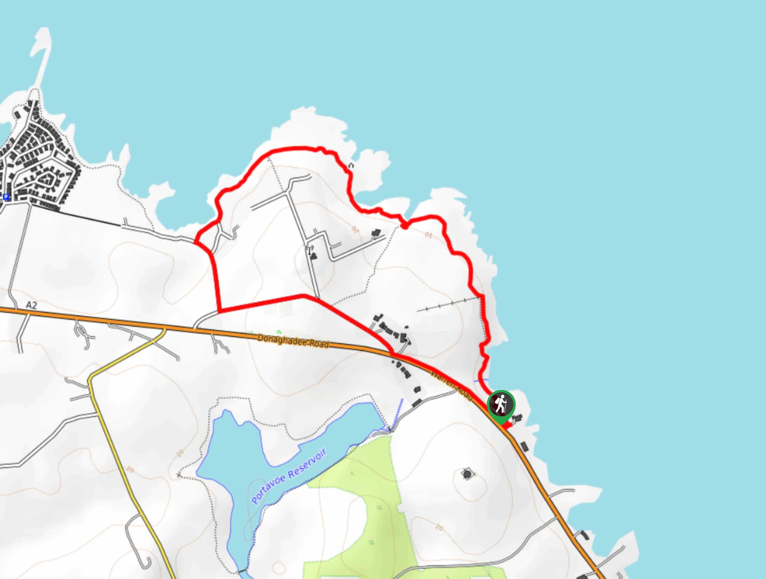
Orlock Point Walk
The Orlock Point Walk is a beautifully scenic coastal adventure in County Down, Northern Ireland that offers some nice views…



Comments