

Glencairn and Heath Trail
View PhotosGlencairn and Heath Trail
Difficulty Rating:
The Glencairn and Heath Trail is a great intermediate length walking adventure that will see you climb uphill around Divis Mountain for views over Belfast. While out walking the trail, you will make your way through Glencairn Park and leave the city behind as you work your way uphill for a commanding view over the surrounding city landscape. Portions of this trail can be a bit challenging with rugged terrain, so be sure to wear proper walking boots.
Getting there
The trailhead for the Glencairn and Heath Trail can be found at the car park in Glencairn Park, just off Glencairn Road.
About
| Backcountry Campground | No |
| When to do | March-October |
| Pets allowed | Yes - On Leash |
| Family friendly | Older Children only |
| Route Signage | Average |
| Crowd Levels | Moderate |
| Route Type | Lollipop |
Glencairn and Heath Trail
Elevation Graph
Weather
Glencairn and Heath Trail Description
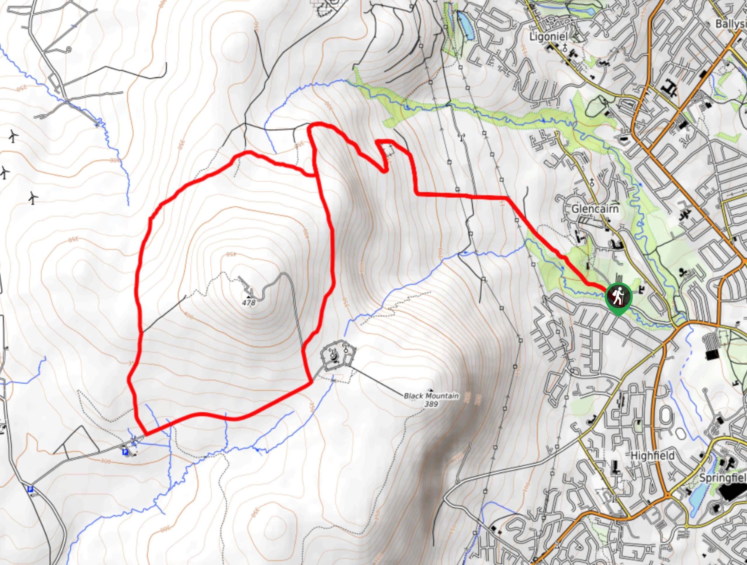
If the aim of your day on the trails is to stay pretty close to Belfast but still get a solid workout in and experience some stunning views, then you should definitely explore the Glencairn and Heath Trail. This awesome walking route will likely cause you to break a sweat, as you climb up the steep slopes of Divis and take in some stunning views of Belfast.
Setting out from the trailhead, you will make your way to the northwest through Glencairn Park, following Glencairn Road as it leads you up the lower slopes of Divis. After leaving the city behind, the road will transition into a footpath, at which point you will continue uphill through the steepest portion of the route to meet up with the Heath Trail.
From here, you will follow the Heath Trail to the southwest, as it skirts around the summit of Divis and provides some exceptional views of Belfast and the Belfast Lough. After a short stint along the road, you will once again make your way onto a footpath and follow it northeast to complete the loop around Divis. Eventually, you will meet up with your initial path that brought you uphill. Turn left here and descend the mountainside, once again traversing Glencairn Park on the way back to the trailhead where you started.
Similar hikes to the Glencairn and Heath Trail hike

Helen’s Tower Walk
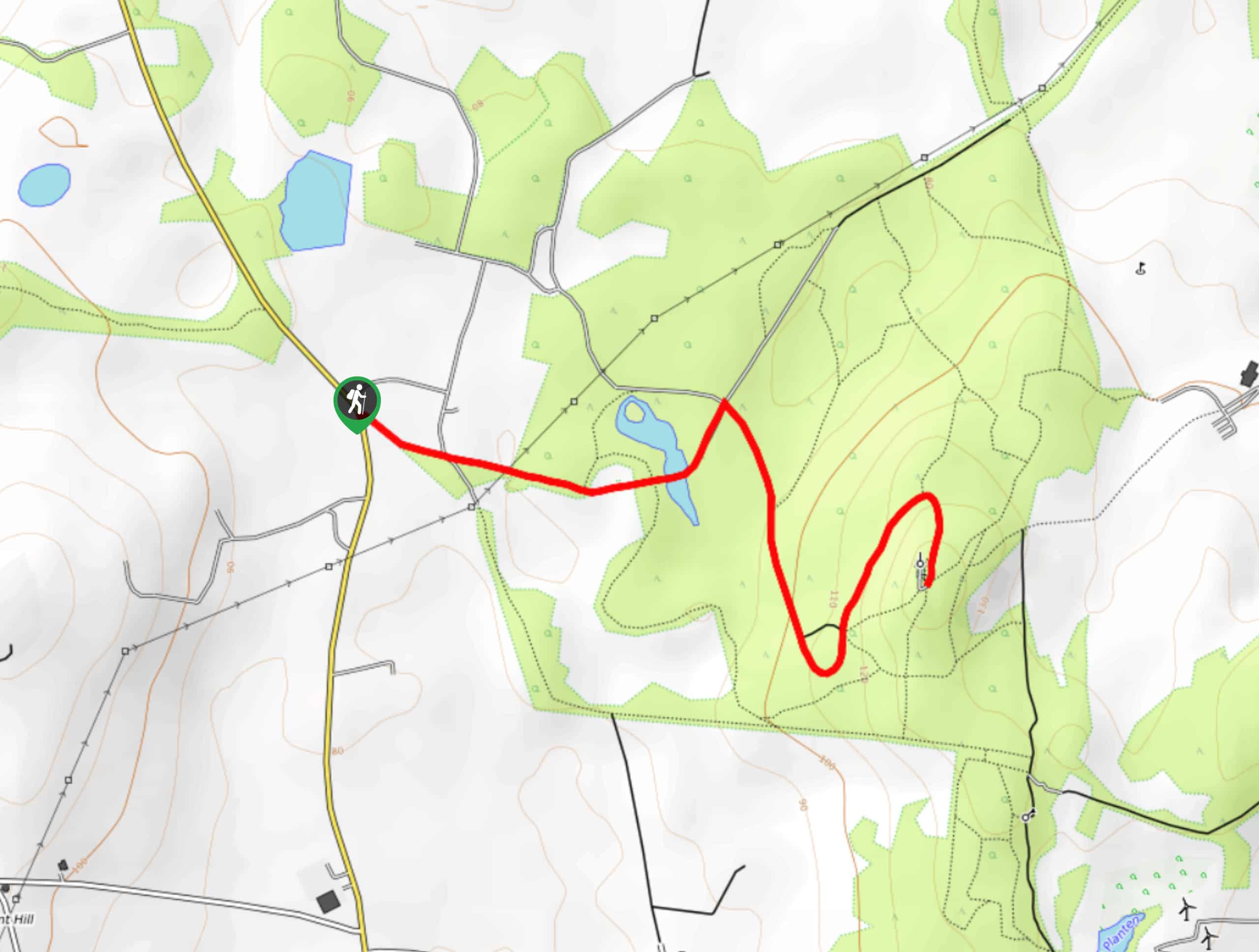
The Helen’s Tower Walk is a quick adventure in County Down that will lead you slightly uphill to an historic…

Annalong Wood and Blue Lough Circular Walk
The Annalong Wood and Blue Lough Circular Walk is a rugged and challenging adventure in the Mourne Mountains of Northern…

Drumnaph Nature Reserve Walk
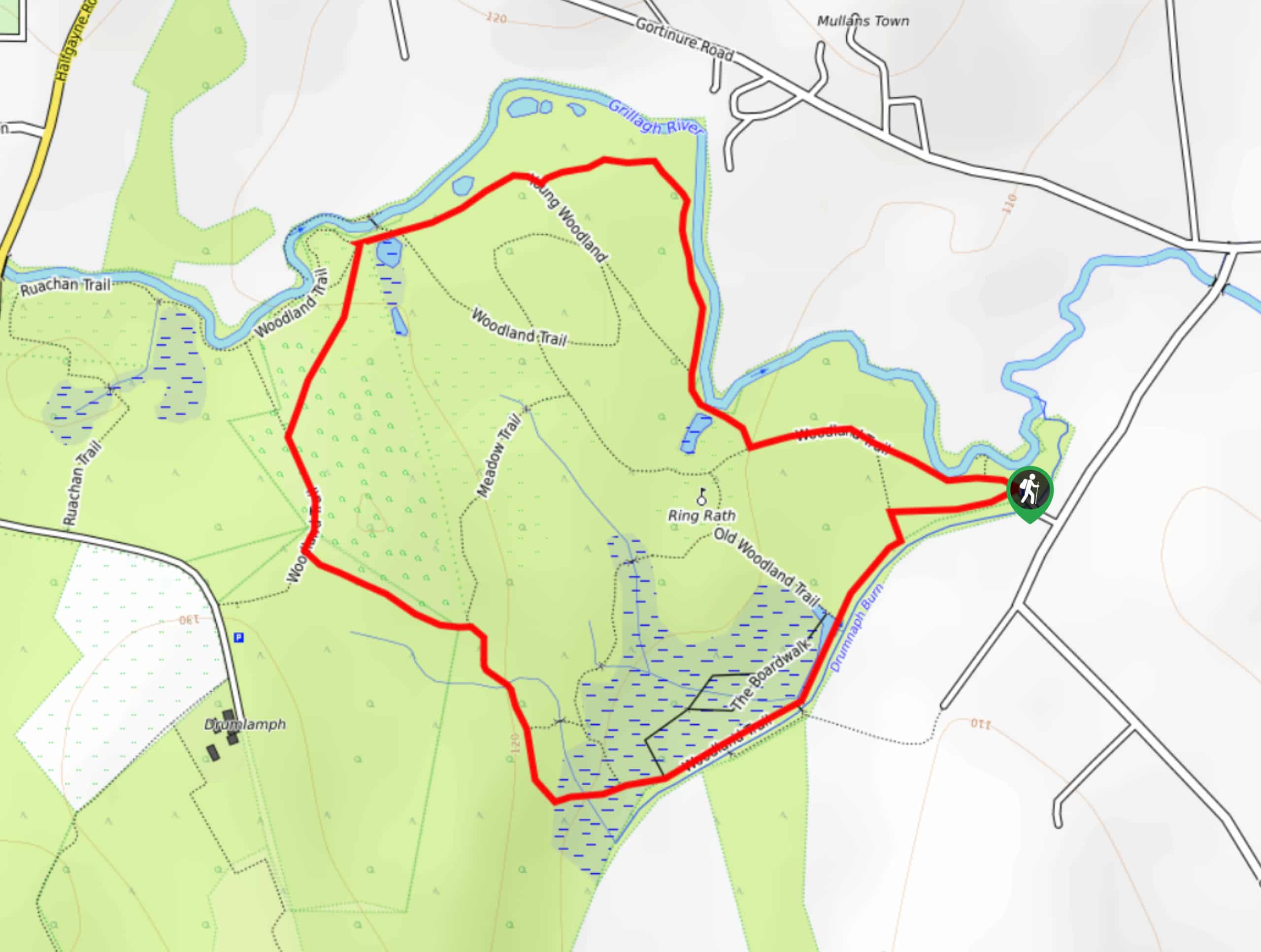
The Drumnaph Nature Reserve Walk is a fun outdoor excursion that will lead you through a variety of landscapes offering…


Comments