

Glenarm River Path
View PhotosGlenarm River Path
Difficulty Rating:
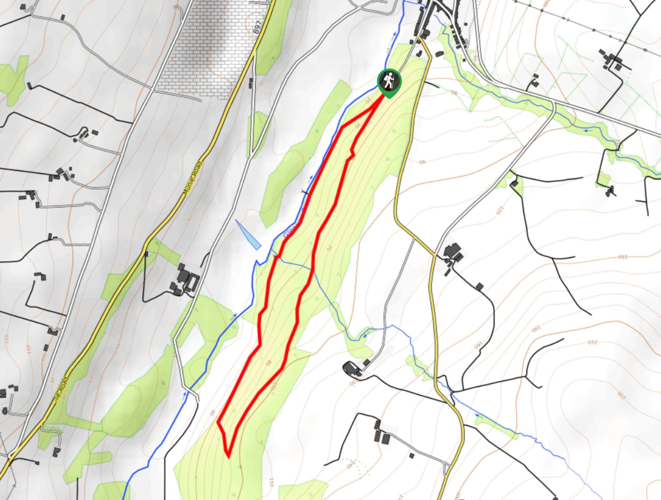
The Glenarm River Path is an easy-going adventure in County Antrim, Northern Ireland that will take you through a lovely woodland setting within the Glenarm Forest Park. While out on the trail, you will make your way under the shady canopy of the trees and make the return leg alongside the banks of the Glenarm River. Easy to traverse terrain along the route makes it suitable for families; however, the un-surfaced paths can be quite muddy after a good period of rainfall.
Getting there
The trailhead for the Glenarm River Path can be found at the Glenarm Forest car park, located at the end of Altmore Street.
About
| Backcountry Campground | No |
| When to do | Year-Round |
| Pets allowed | Yes - On Leash |
| Family friendly | Yes |
| Route Signage | Average |
| Crowd Levels | Moderate |
| Route Type | Circuit |
Glenarm River Path
Elevation Graph
Weather
Glenarm River Path Description
If you are looking for a relaxing walk in County Antrim that will expose you to the natural beauty of the forests of Northern Ireland, then you will want to explore the woodland trails along the Glenarm River Path.
Setting out from the car park, you will make your way to the southwest and keep left at the initial fork in order to traverse the forested hillside. Here, you will meander through the atmospheric woodland setting and enjoy views of the mature trees, before arriving at the southwest corner of the route.
Descending the hillside slightly, you will follow the path as it heads to the northeast and continues through the forest. Eventually, you will meet up with the winding banks of the Glenarm River and follow them back to the car park where you began your adventure.
Similar hikes to the Glenarm River Path hike

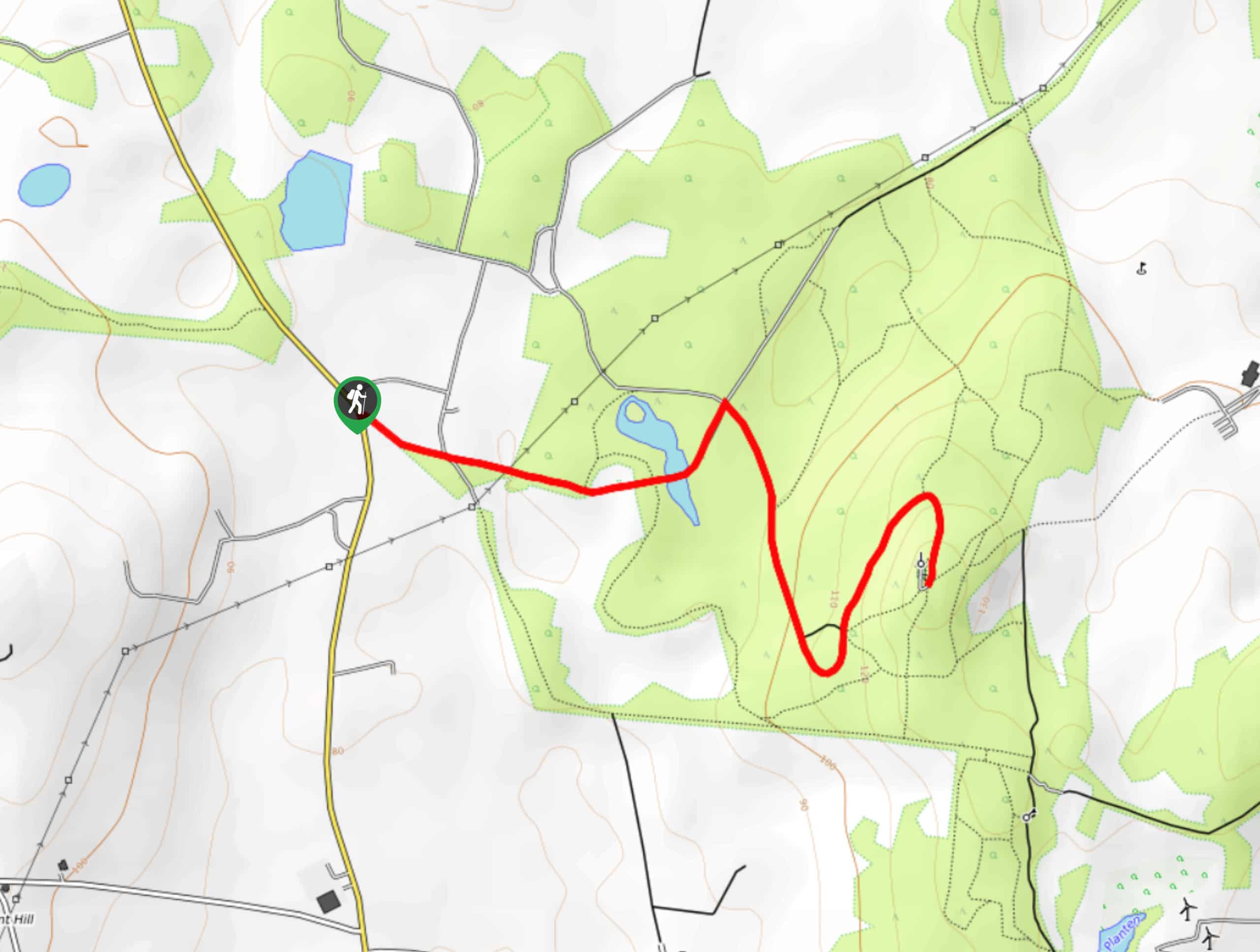
Helen’s Tower Walk
The Helen’s Tower Walk is a quick adventure in County Down that will lead you slightly uphill to an historic…

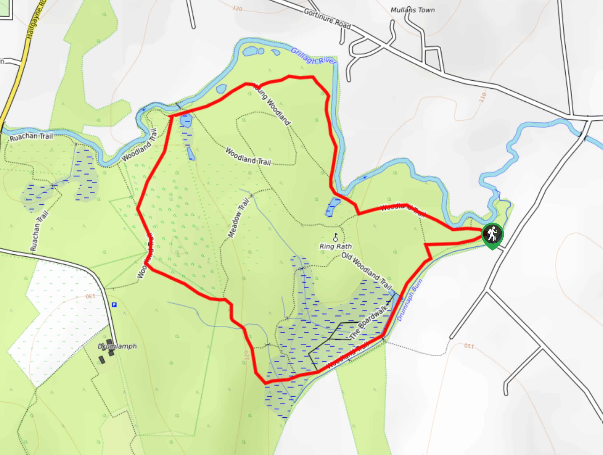
Drumnaph Nature Reserve Walk
The Drumnaph Nature Reserve Walk is a fun outdoor excursion that will lead you through a variety of landscapes offering…

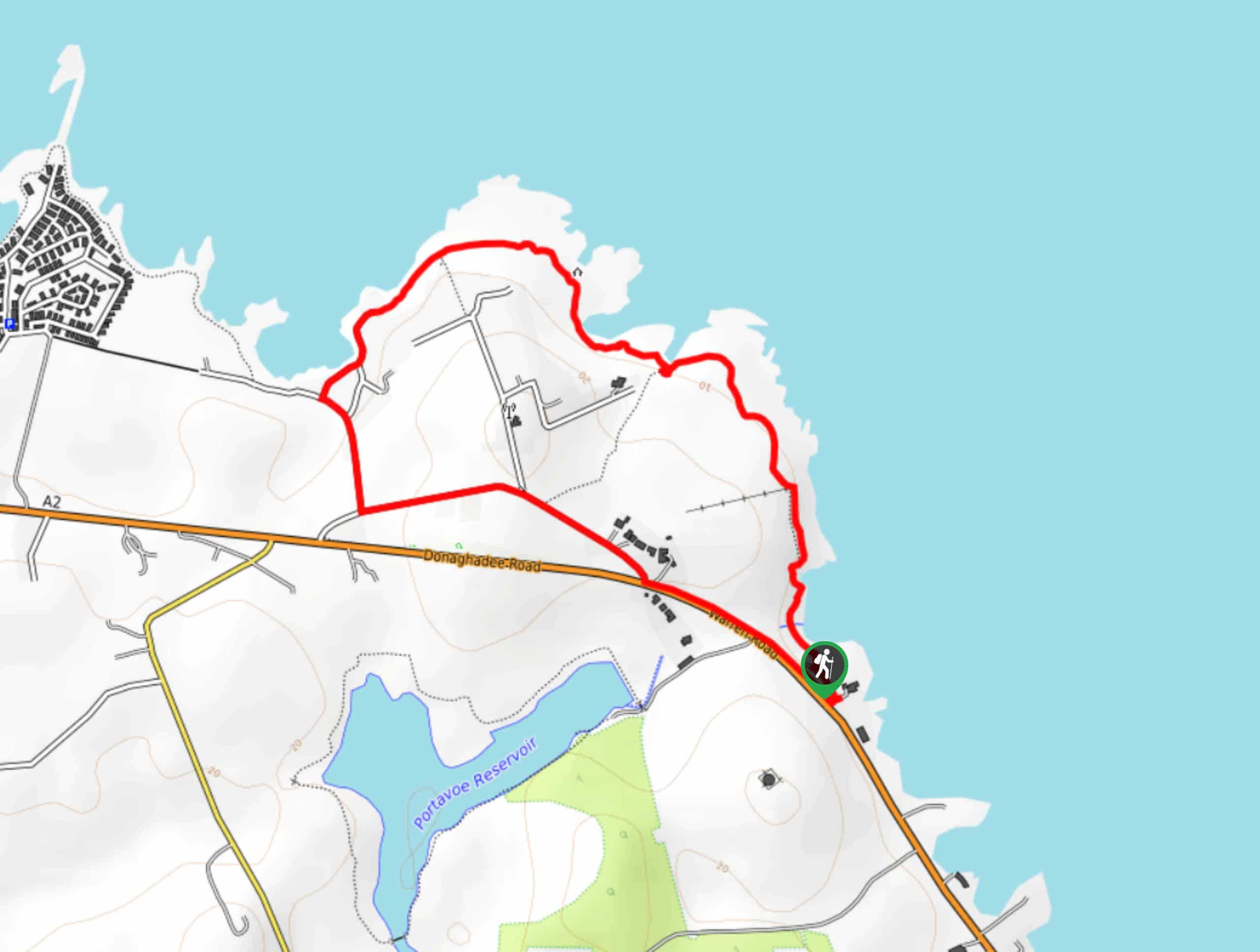
Orlock Point Walk
The Orlock Point Walk is a beautifully scenic coastal adventure in County Down, Northern Ireland that offers some nice views…


Comments