

Garvagh Forest Walk
View PhotosGarvagh Forest Walk
Difficulty Rating:
The Garvagh Forest Walk is a pleasant woodland adventure that will expose you to a beautiful swathe of woodland and riverside setting in County Londonderry. While out walking the trail, you will make your way along the scenic banks of the Agivey River, before looping around the woodland paths of Garvagh Forest. Walkers should take note that this is a fairly easy trail; however, there are some sections of uphill walking that might not be suitable for very young or less-mobile people.
Getting there
The trailhead for the Garvagh Forest Walk is located along Main Street in Garvagh, just south of the Garvagh Presbyterian Church.
About
| Backcountry Campground | No |
| When to do | Year-Round |
| Pets allowed | Yes - On Leash |
| Family friendly | Yes |
| Route Signage | Average |
| Crowd Levels | Moderate |
| Route Type | Circuit |
Garvagh Forest Walk
Elevation Graph
Weather
Garvagh Forest Walk Description
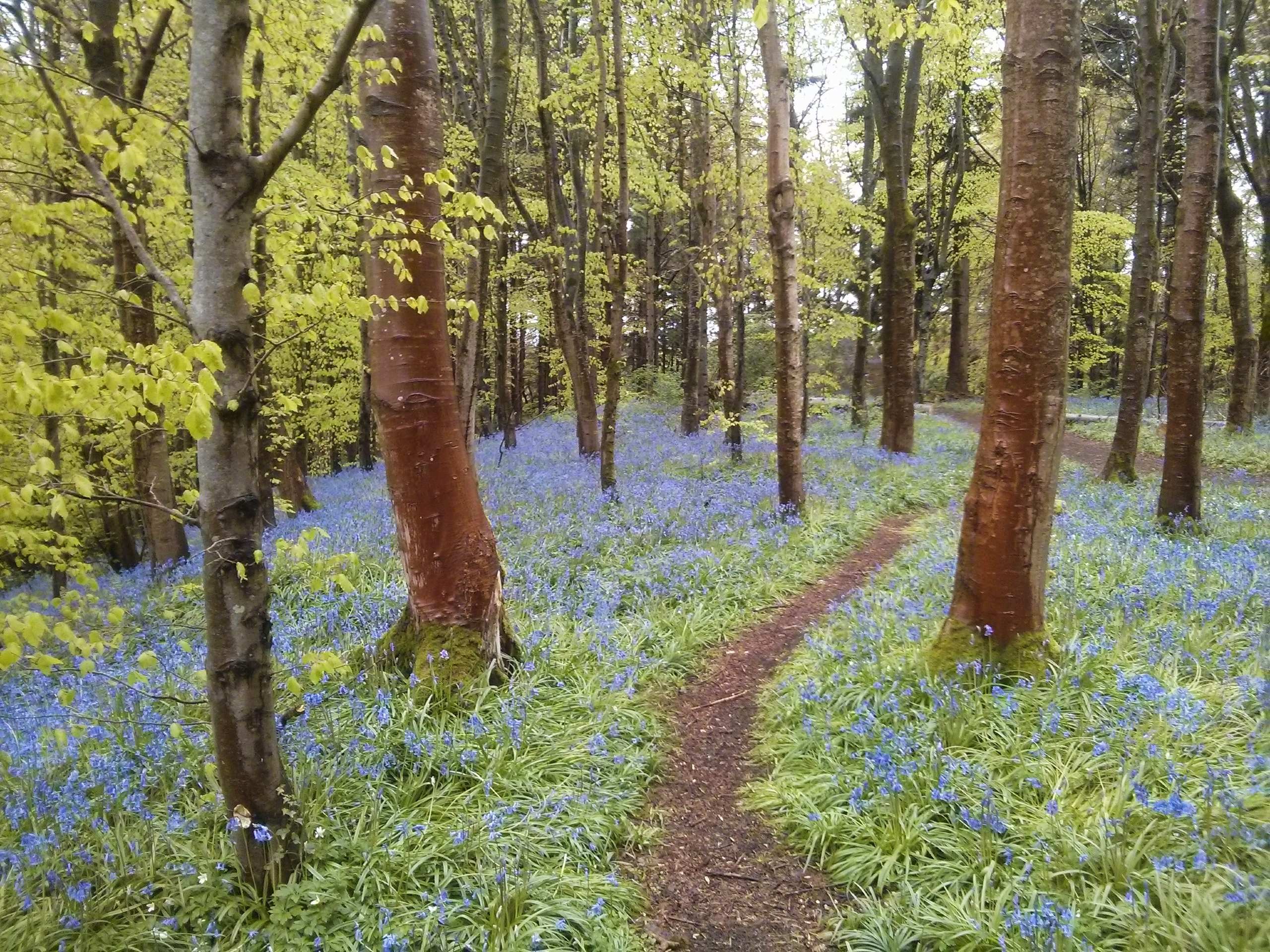
Featuring some beautifully scenic woodlands, undulating terrain, and a winding river, the Garvagh Forest Walk offers a great opportunity to get outside and enjoy nature. This relaxing walk can be done in a fairly short amount of time, making it suitable for a quick dog walk or a solitary stroll through the woods.
Setting out from the trailhead, you will make your way to the southwest along the banks of the Agivey River and almost immediately pass by the Garvagh Pyramid. This seemingly out of place building was constructed during the 19th Century by Lord Garvagh, who had travelled to Egypt and was inspired to build his own pyramidal burial chamber. While he was never actually buried there, the pyramid is a curious structure that adds a bit of mystique to the forest.
Continuing along the winding banks of the river, you will eventually break away to the north to traverse Rabbit Hill. As you make your way through the tranquil forest atmosphere, the trail will continue to take you up and down the undulating landscape, eventually turning toward the southeast. Heading downhill, you will pass by the Garvagh Forest Office and meet up with a road, following it for a short distance before completing the final leg of your walk through the forest to return to the trailhead.
Similar hikes to the Garvagh Forest Walk hike

Helen’s Tower Walk
The Helen’s Tower Walk is a quick adventure in County Down that will lead you slightly uphill to an historic…

Annalong Wood and Blue Lough Circular Walk
The Annalong Wood and Blue Lough Circular Walk is a rugged and challenging adventure in the Mourne Mountains of Northern…

Drumnaph Nature Reserve Walk
The Drumnaph Nature Reserve Walk is a fun outdoor excursion that will lead you through a variety of landscapes offering…


Comments