

Davagh Forest Path
View PhotosDavagh Forest Path
Difficulty Rating:
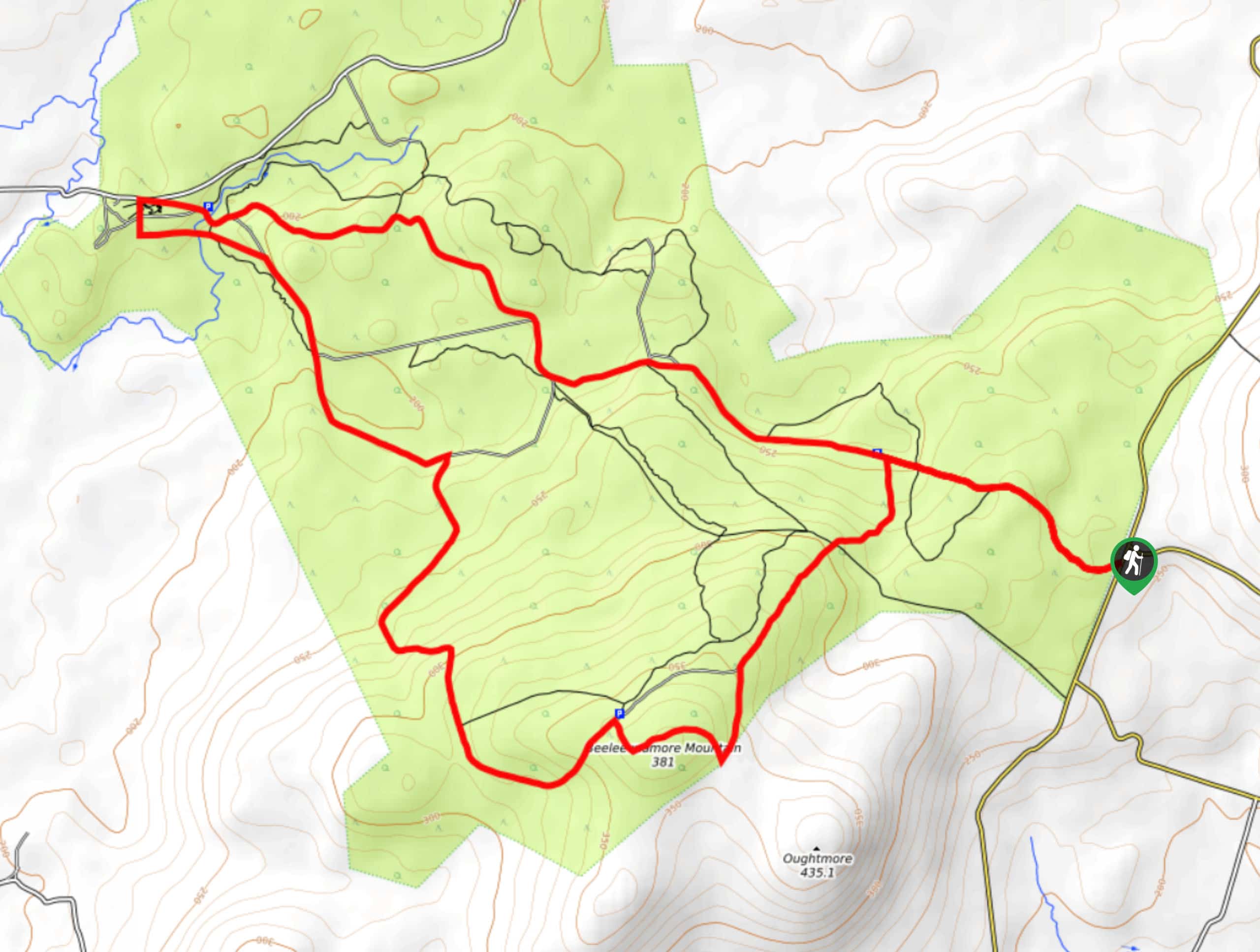
The Davagh Forest Path is a laidback adventure in the Sperrins Area of Outstanding Natural Beauty, Northern Ireland that will take you to the top of a small mountain for some scenic views. While out walking the trail, you will meander through the dense woodlands of Davagh peak and climb uphill to reach the summit of Beeleevnamore Mountain. This is a fantastic adventure for anyone looking to reconnect with nature.
Getting there
The trailhead for the Davagh Forest Path can be found 6.7mi northwest of Cookstown, at a layby on Slaght Road, near the junction with Ballynagilly Road.
About
| Backcountry Campground | No |
| When to do | Year-Round |
| Pets allowed | Yes - On Leash |
| Family friendly | Older Children only |
| Route Signage | Average |
| Crowd Levels | Moderate |
| Route Type | Lollipop |
Davagh Forest Path
Elevation Graph
Weather
Davagh Forest Path Description
Featuring shady forest walkways, a diverse range of wildlife, and beautiful views of the surrounding Northern Ireland landscape, the Davagh Forest Path is an excellent walking route that will allow you to relax while experiencing the beauty of nature.
Setting out from the trailhead on Slaght Road, you will make your way to the northwest and head into the cover of the forest, traversing the undulating woodland terrain along a quiet road as you make your way to the OM Dark Sky Park and Observatory. This is a fascinating place where you can experience the beauty of the sky and learn about astronomy, before continuing along the trail on your walk.
From here, you will turn to the southeast and make your way through the forest, climbing gradually uphill on the way to the summit of Beeleevnamore Mountain. After taking in the views of the surrounding landscape, head to the northeast and descend the mountainside, eventually breaking free of the tree cover to arrive back at the trailhead.
Similar hikes to the Davagh Forest Path hike

Helen’s Tower Walk
The Helen’s Tower Walk is a quick adventure in County Down that will lead you slightly uphill to an historic…

Annalong Wood and Blue Lough Circular Walk
The Annalong Wood and Blue Lough Circular Walk is a rugged and challenging adventure in the Mourne Mountains of Northern…

Drumnaph Nature Reserve Walk
The Drumnaph Nature Reserve Walk is a fun outdoor excursion that will lead you through a variety of landscapes offering…


Comments