Cushendun Road Walk
View Photos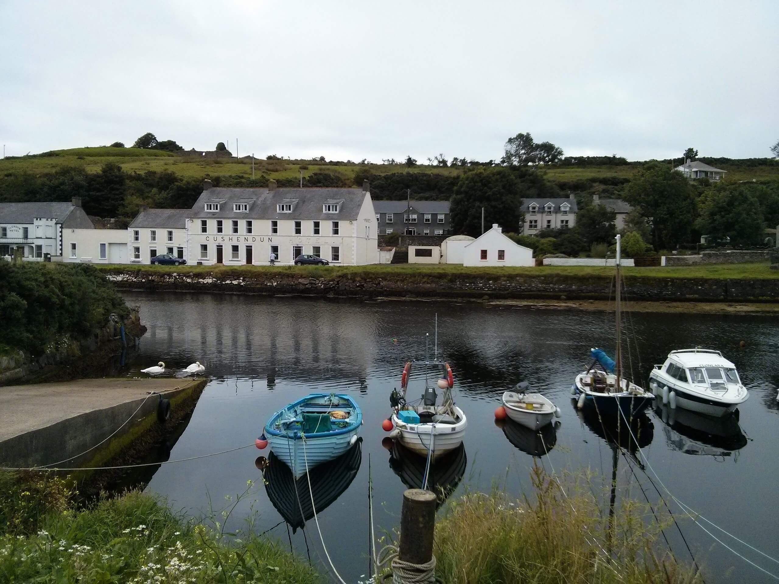
Cushendun Road Walk
Difficulty Rating:
The Cushendun Road Walk is a fun journey in County Antrim Northern Ireland that will produce some nice views of a variety of landscapes. While out walking the trail, you will make your way along the coast before turning inland to explore the valley landscape along the Glendun River. While the roads utilized throughout the route make travel easier, you should remain alert and keep an eye out for passing vehicles.
Getting there
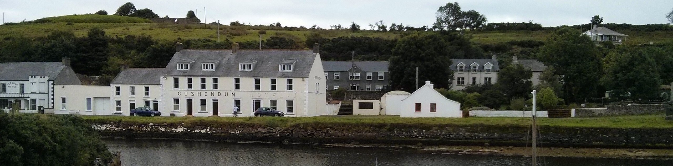
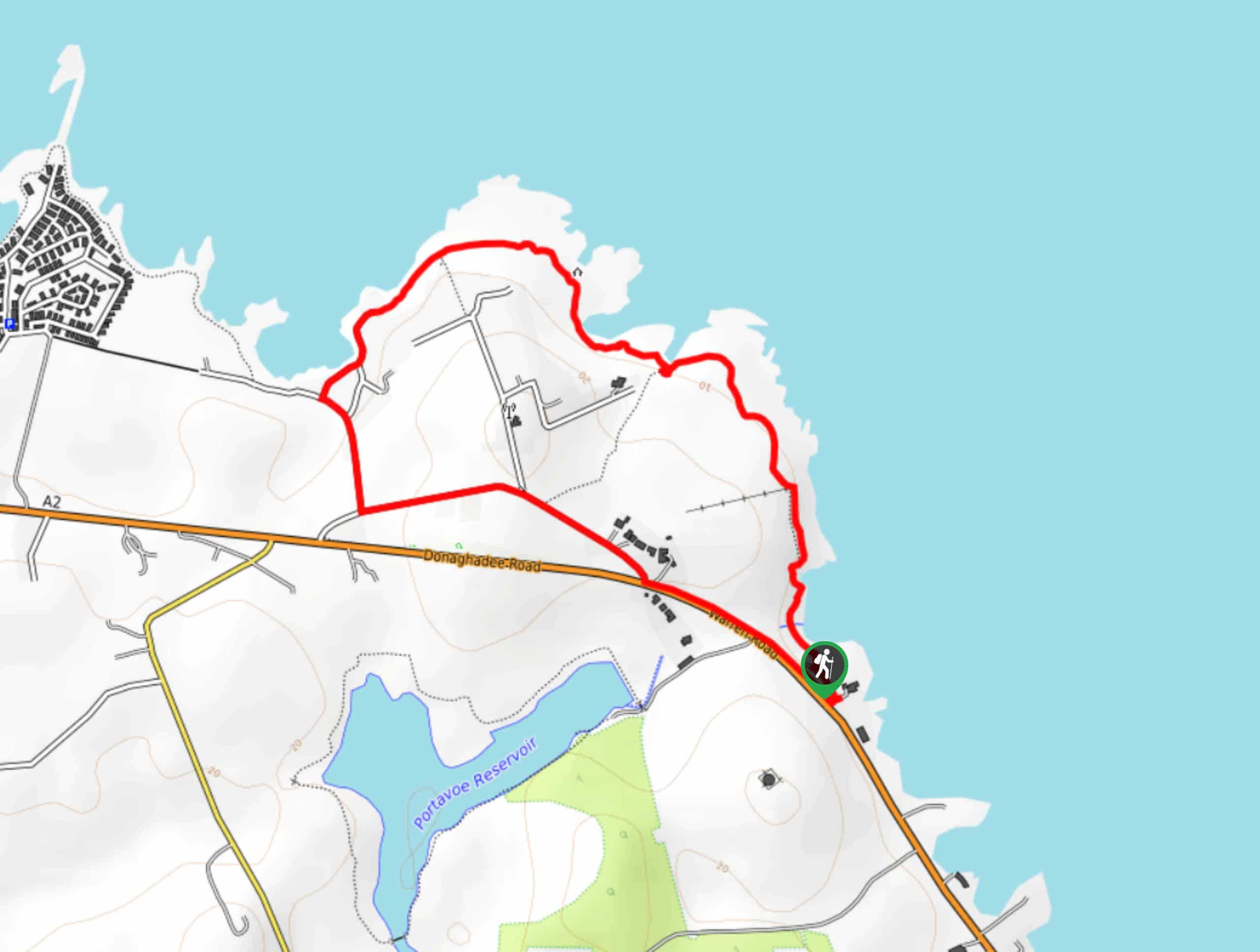
The trailhead for the Cushendun Road Walk can be found at the car park off Bay Road in Cushendun.

About
| Backcountry Campground | Cushendun Caravan Park |
| When to do | Year-Roumd |
| Pets allowed | Yes - On Leash |
| Family friendly | Yes |
| Route Signage | Average |
| Crowd Levels | Low |
| Route Type | Circuit |
Cushendun Road Walk
Elevation Graph
Weather
Cushendun Road Walk Description
If you have been searching for a laid back adventure along the Antrim Coast that offers some nice views but won’t be too hard on the legs, then look no further than the Cushendun Road Walk. This scenic adventure utilizes quiet roadways to make travel easier and allow you to focus on the views.
Setting out from the car park in Cushendun, you will make your way north along the coast to enjoy some nice views of the sea, before turning inland to follow along Bay Road. After a short distance, follow Glendun Road as it branches off to the left and heads into the valley to the southwest. Here, you will walk parallel to the Glendun River, before crossing over to the opposite bank via Clady Road.
Once you are on the opposite bank, you will make your way to the southeast while enjoying the views of the surrounding hills, keeping left onto Knocknacarry Road. Follow this back into the village of Cushendun, where you will once again cross over the river and walk along the beach to arrive back at the trailhead where you began.
Similar hikes to the Cushendun Road Walk hike
Helen’s Tower Walk
The Helen’s Tower Walk is a quick adventure in County Down that will lead you slightly uphill to an historic…
Drumnaph Nature Reserve Walk
The Drumnaph Nature Reserve Walk is a fun outdoor excursion that will lead you through a variety of landscapes offering…
Orlock Point Walk
The Orlock Point Walk is a beautifully scenic coastal adventure in County Down, Northern Ireland that offers some nice views…
Comments