

Cushendall Cliffs Walk
View PhotosCushendall Cliffs Walk
Difficulty Rating:
The Cushendall Cliffs Walk is a beautifully scenic walking route in County Antrim, Northern Ireland that will take you along the coast for some stunning views. While out walking the trail, you will make your way past the 13th Century ruins of a church, taking in the amazing views of the sea as you follow the rugged coastal terrain south past Cushendall Beach. This is a truly beautiful route that shouldn’t be missed.
Getting there
The trailhead for the Cushendall Cliffs Walk can be found 1.0mi northeast of Cushendall at a small parking area on the right side of Layde Road.
About
| Backcountry Campground | No |
| When to do | Year-Round |
| Pets allowed | Yes - On Leash |
| Family friendly | Yes |
| Route Signage | Average |
| Crowd Levels | Moderate |
| Route Type | Lollipop |
Cushendall Cliffs Walk
Elevation Graph
Weather
Cushendall Cliffs Walk Description
Featuring fascinating historical ruins, gorgeous views along the coast, a beach, and a charming little village, the Cushendall Cliffs Walk is an exceptional; trail that you should definitely experience if you find yourself in the area.
Setting out from the trailhead, you will make your way east past the ruins of Old Layde Church, which was a Franciscan foundation dating to the 13th Century. Shortly after this, you will arrive at the water’s edge and make your way south along the rugged coastal terrain.
Take some time to appreciate the stunning views of the sea, asd you eventually pass by Cushendall Beach to complete a small loop trail that makes up the southern portion of the route. From here, simply follow your footsteps back along the trail to return to your vehicle.
Similar hikes to the Cushendall Cliffs Walk hike

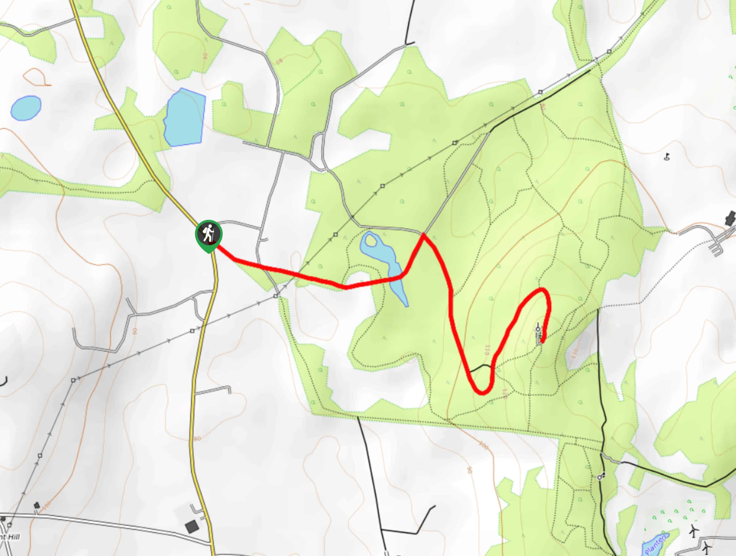
Helen’s Tower Walk
The Helen’s Tower Walk is a quick adventure in County Down that will lead you slightly uphill to an historic…

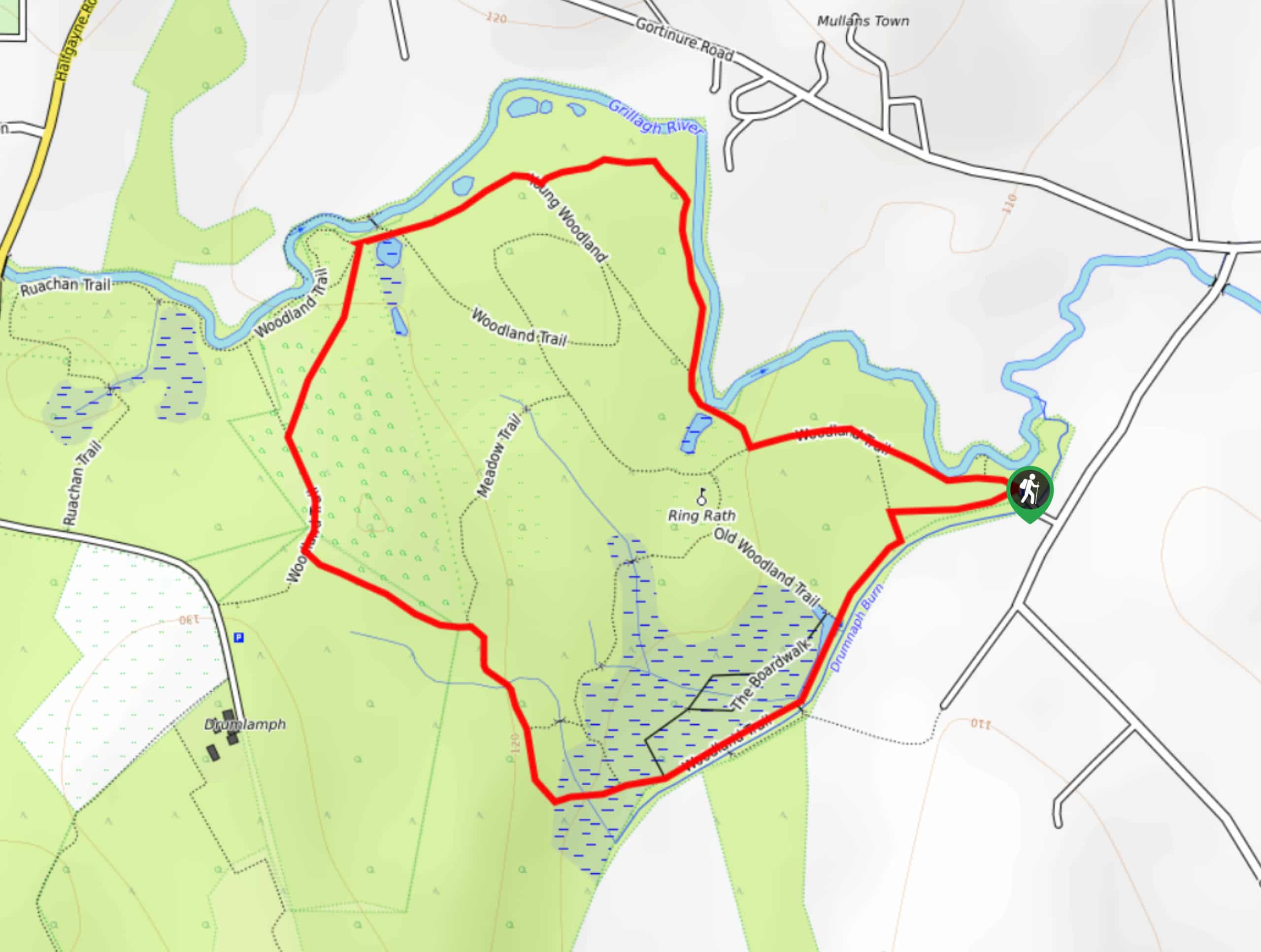
Drumnaph Nature Reserve Walk
The Drumnaph Nature Reserve Walk is a fun outdoor excursion that will lead you through a variety of landscapes offering…

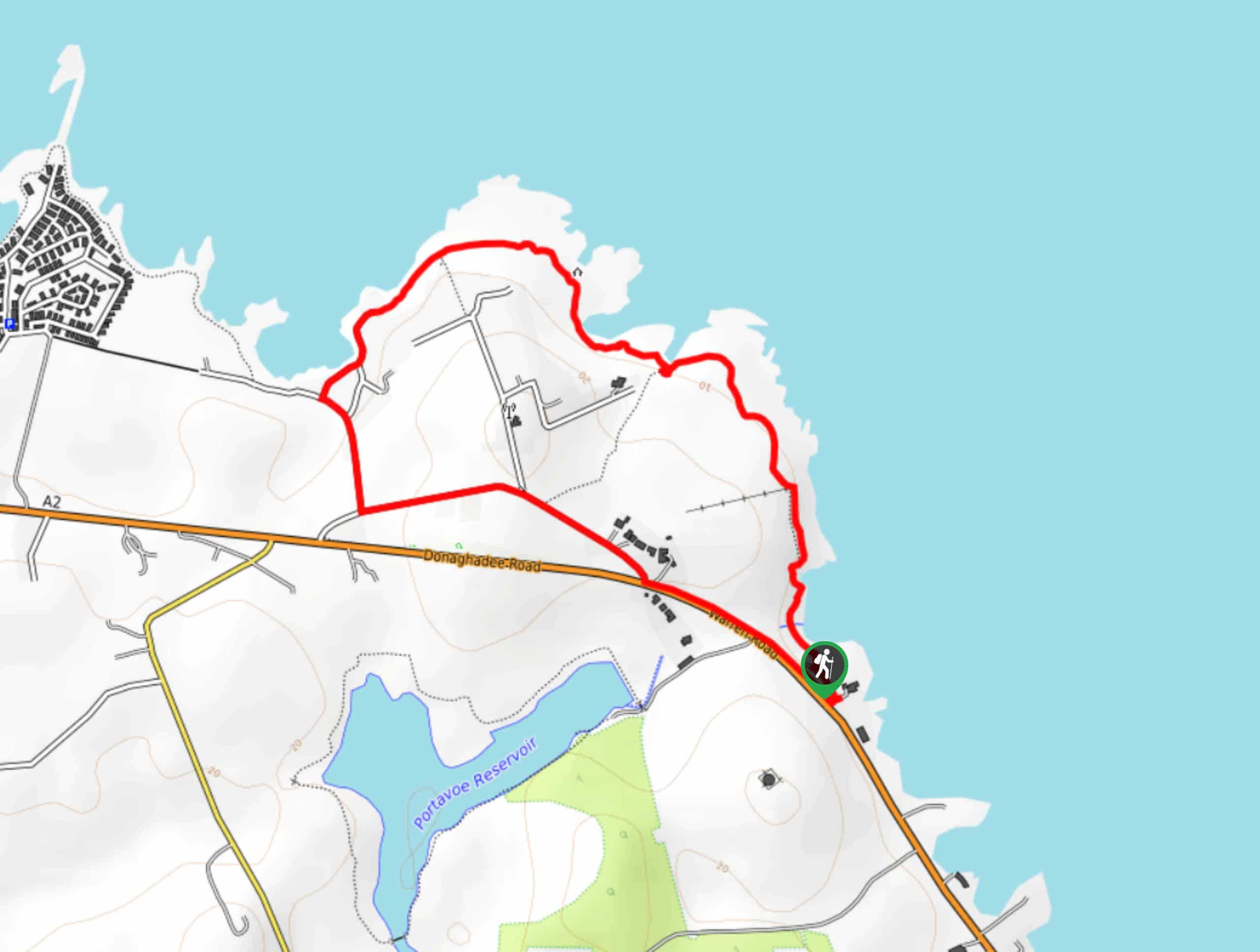
Orlock Point Walk
The Orlock Point Walk is a beautifully scenic coastal adventure in County Down, Northern Ireland that offers some nice views…


Comments