Comber Greenway Trail
View Photos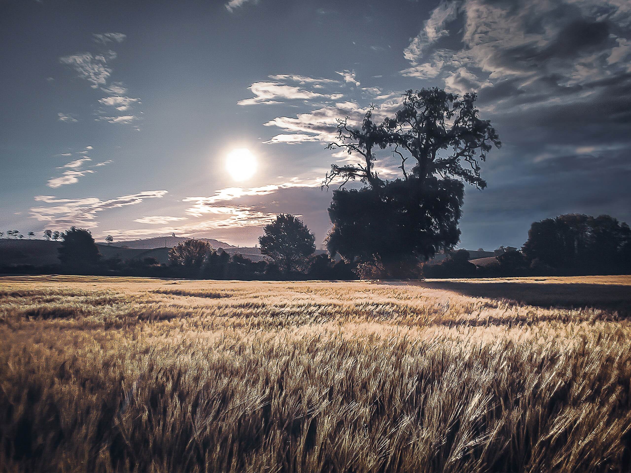
Comber Greenway Trail
Difficulty Rating:
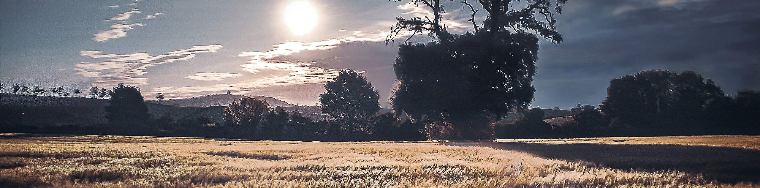
Walking the Comber Greenway Trail is a great experience in Belfast that will allow you to travel to the nearby town of Comber without facing any traffic. While out on the trail, you will traverse an old railway line along a greenbelt through the city before cutting across the open countryside on the way into Comber. Although there are no cars on this route, you will need to keep an eye out for passing cyclists and remember to share the pathway.
Getting there
To get to the trailhead for the Comber Greenway Trail from C.S. Lewis Square, head west on Newtownards Road for 0.2mi and turn right onto Dee Street. You will find the trailhead on the right in 0.2mi

About
| Backcountry Campground | No |
| When to do | Year-Round |
| Pets allowed | Yes - On Leash |
| Family friendly | Older Children only |
| Route Signage | Average |
| Crowd Levels | High |
| Route Type | One Way |
Comber Greenway Trail
Elevation Graph
Weather
Comber Greenway Trail Description
While the Comber Greenway Trail is fantastic for cyclists and walkers that are trying to avoid vehicle traffic, there is a high volume of users along the trail that make this route a little bit hectic. If you want to utilize the route when it is likely to be the least busy, you will need to arrive early. Make sure to keep an eye on children and dogs, and remember to share the trail, as passing cyclists could be potentially dangerous if you are not paying attention.
Even with its high volume of users, the Comber Greenway is an excellent route to escape the city and get out for a bit of exercise. Utilizing the old Belfast to Comber railway line, there is no better way to experience the countryside when travelling between these two towns, so strap on your walking boots and get ready for a fun day out on the trails!
Setting out from the trailhead on Dee Street, you will make your way through East Belfast along the traffic free route, heading southeast to cross over Conn’s Water. After passing by the C.S. Lewis statue at the Holywood Arches Library, you will cross over the A20 and continue towards the southeast, cutting across the parking lot on your left to head through the park and pick up the Comber Greenway Trail.
Continue on to the southeast as the trail cuts across the city, taking you through a belt of greenery that provides a nice contrast to the urban landscape that surrounds you. After crossing over Comber Road, you will continue along the trail as it skirts the Enler River and eventually leaves the city of Belfast behind.
Keeping on top the southeast, you will make your way through the open countryside, enjoying the views of the sprawling fields as you begin the final leg of the walk into Comber. As the trail approaches the A22, keep left to transition onto Belfast Road, following it to the southeast until you arrive at a roundabout. Head left here onto Mill Street and follow it for 0.3mi, where you will come to the endpoint of the Comber Greenway Trail.
Frequently Asked Questions
How long is the Comber Greenway?
Running along the old Belfast-Comber rail line, the Comber Greenway is 7.0mi long.
Who owns the Comber Greenway?
Developed into a cycling/walking route from its former use as a railway line, the Comber Greenway is owned by the Department of Infrastructure.
Insider Hints
Wear comfortable walking shoes for this adventure.
Keep an eye out for passing cyclists and trail runners.
Arrange a pick up at the end point of the walk or use public transit for the return leg.
Similar hikes to the Comber Greenway Trail hike
Helen’s Tower Walk
The Helen’s Tower Walk is a quick adventure in County Down that will lead you slightly uphill to an historic…
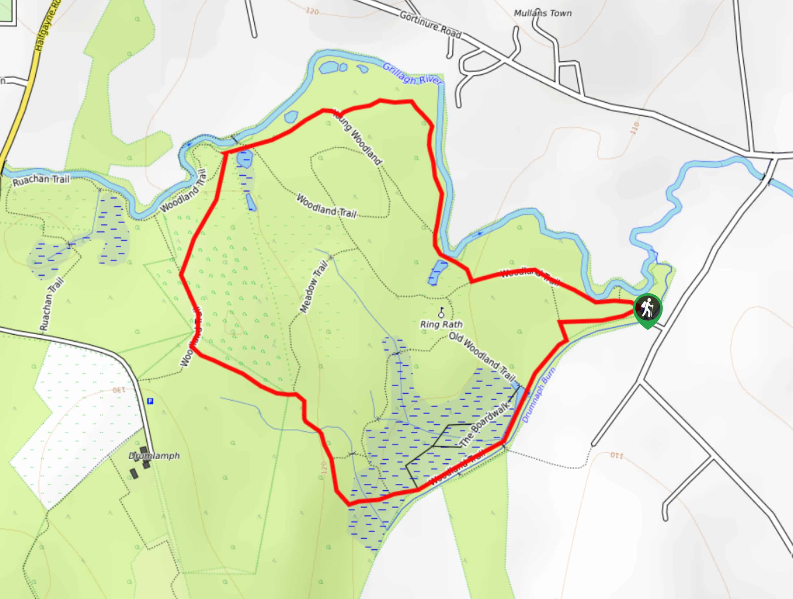
Drumnaph Nature Reserve Walk
The Drumnaph Nature Reserve Walk is a fun outdoor excursion that will lead you through a variety of landscapes offering…
Orlock Point Walk
The Orlock Point Walk is a beautifully scenic coastal adventure in County Down, Northern Ireland that offers some nice views…
Comments