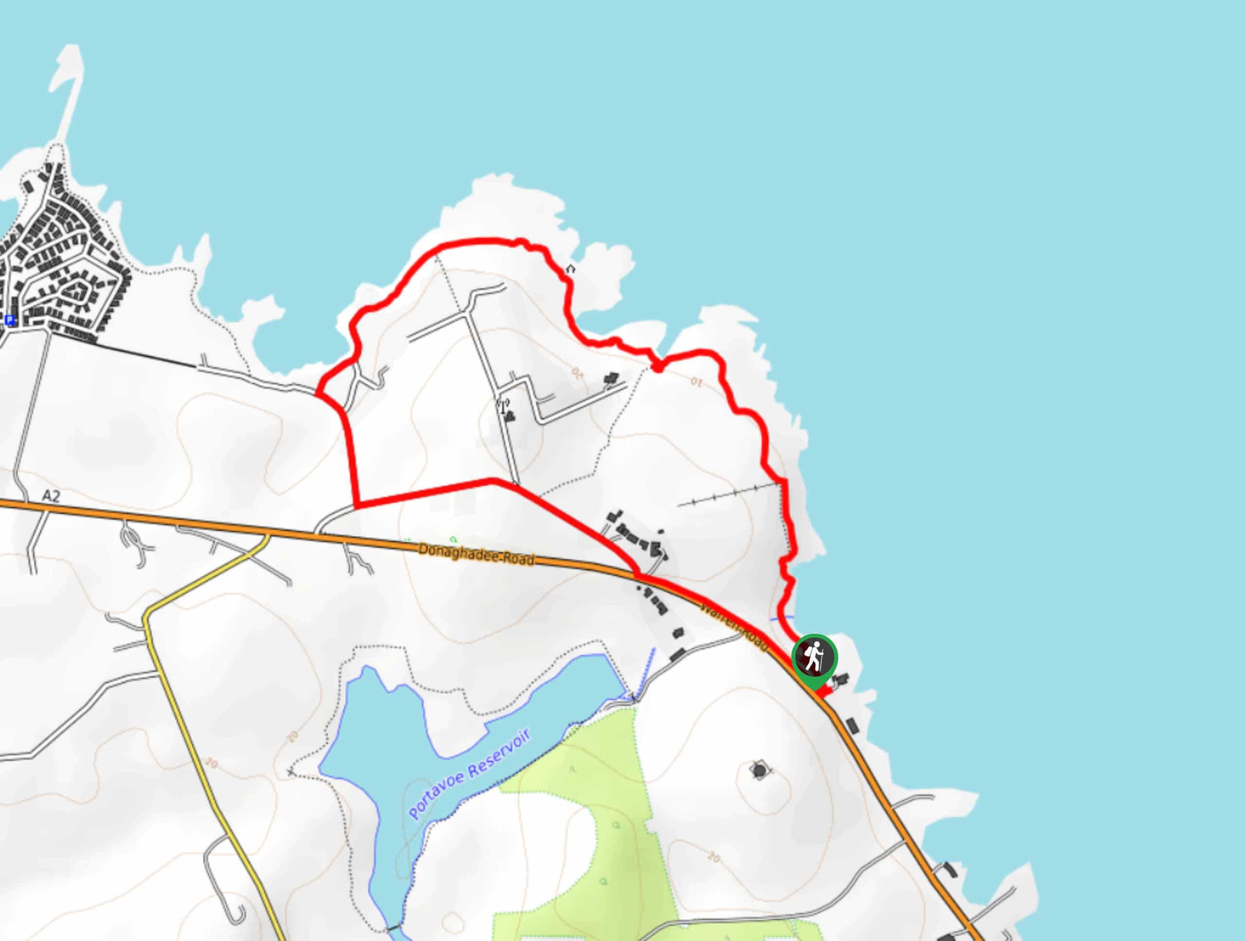
Castle Archdale Circular Walk
View Photos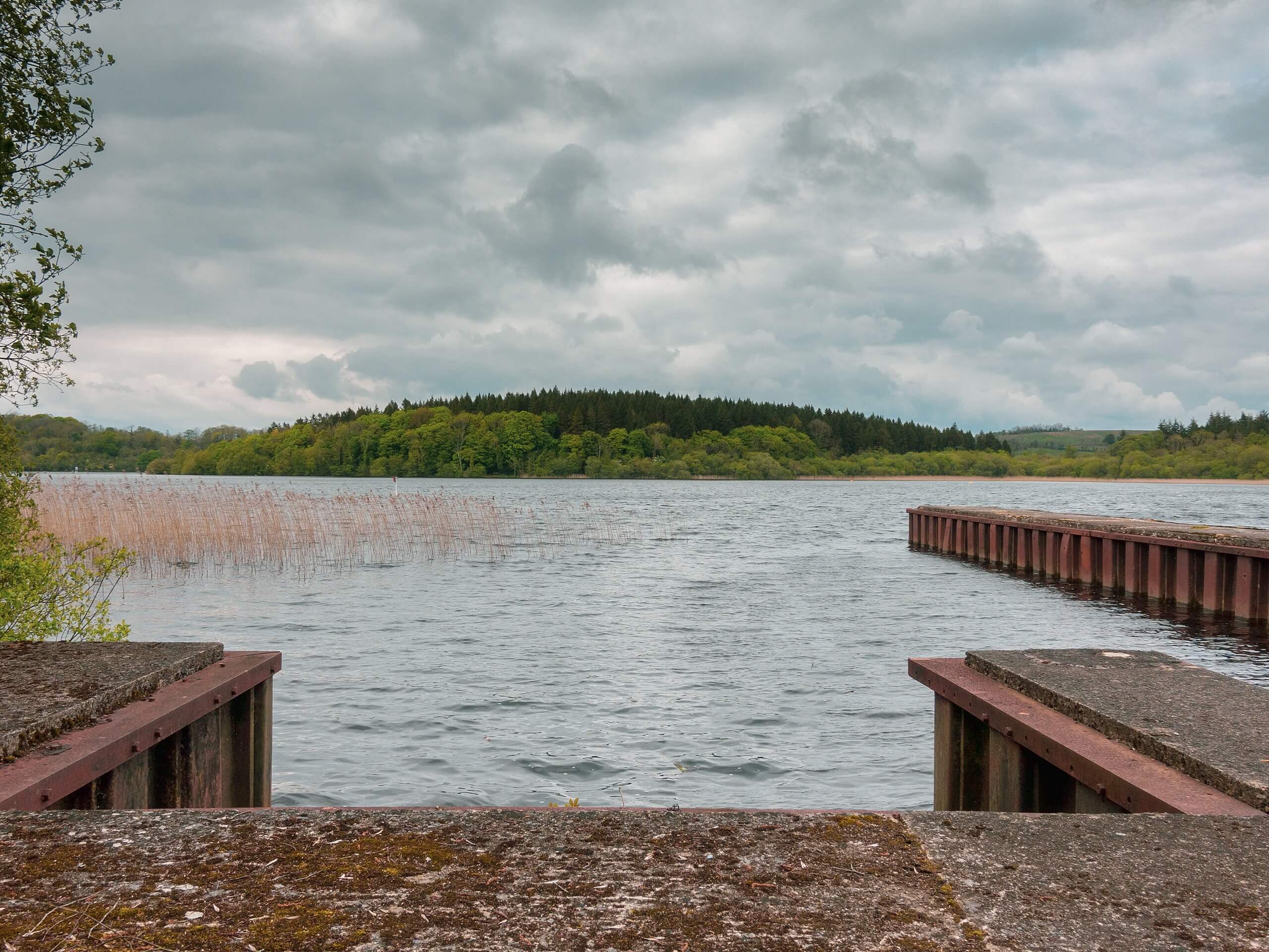
Castle Archdale Circular Walk
Difficulty Rating:
The Castle Archdale Circular Walk is a great route for all ages and skill levels, thanks to it’s laid back terrain, beautiful views, and interesting historical sites. While out on the trail, you will walk the shores of Lower Lough Erne before exploring the grounds of a former 17th Century castle and 18th Century manor house. Make sure to either attempt this trail in fair weather or bring your wellies, as the paths can be fairly muddy when wet.
Getting there
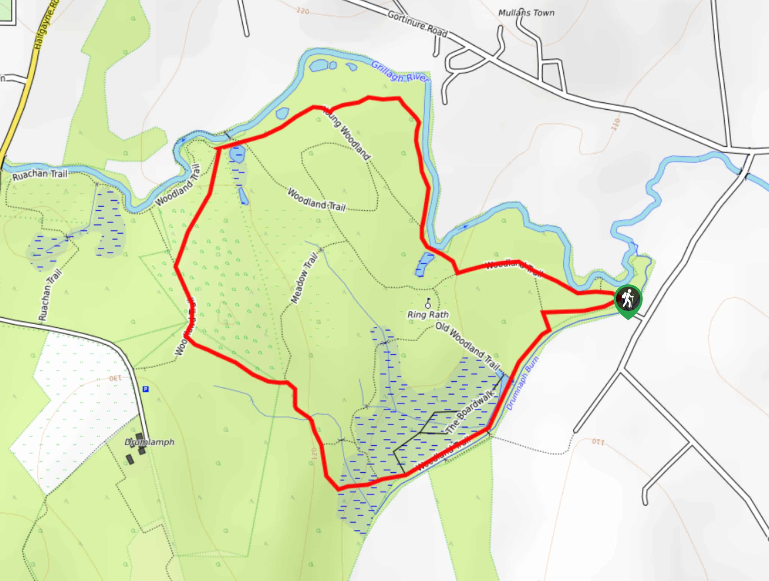
To reach the trailhead for the Castle Archdale Circular Walk from Lisnarick, head southeast on A47 for 0.9mi and turn right to continue on for 0.4mi. Make a left here and follow the road for 0.5mi to arrive at the car park.

About
| Backcountry Campground | No |
| When to do | Year-Round |
| Pets allowed | Yes - On Leash |
| Family friendly | Yes |
| Route Signage | Average |
| Crowd Levels | Moderate |
| Route Type | Circuit |
Castle Archdale Circular Walk
Elevation Graph
Weather
Castle Archdale Circular Walk Description
While the walking paths along the Castle Archdale Circular Walk traverse some fairly laidback terrain, they have reportedly fallen into a state of disrepair over the last few years. Overgrown trails and muddy patches along the route will require you to wear good walking boots in order to efficiently traverse the trail. Additionally, you might want to arrive early in order to secure parking.
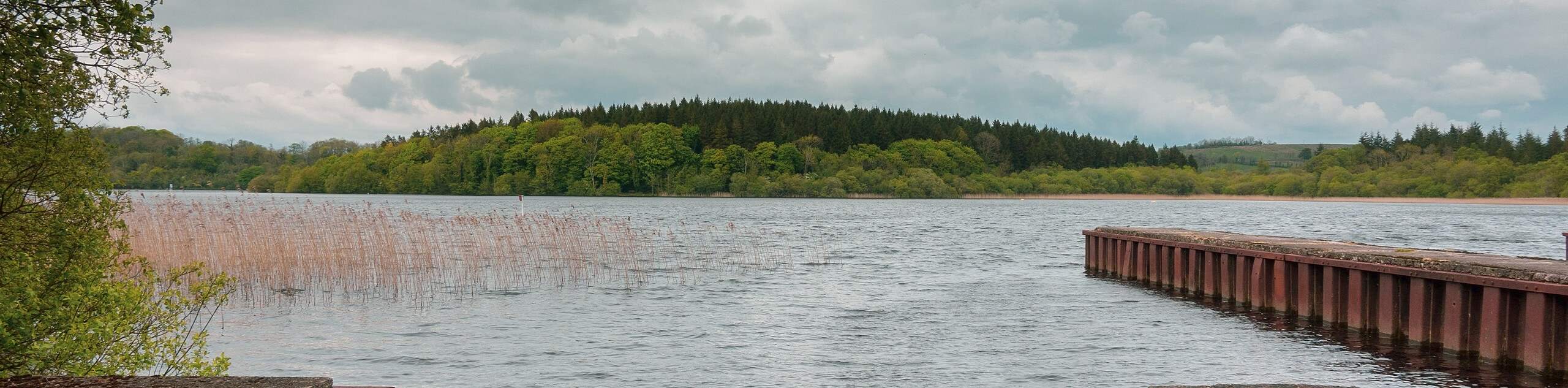
If you can get past the overgrown nature of the route in its current state, the beautiful views and interesting historical sites along the Castle Archdale Circular Walk will make for a fun afternoon outdoors. Peaceful forests, the lovely shores of Lower Lough Erne, and of course the remaining buildings of the historic Castle Archdale all make this a great walk to be enjoyed by all.
Setting out from the car park, you will head to the west along the trail and be immediately greeted by the thick cover of the forest. Take your time as you meander through the peaceful woodland landscape, eventually arriving at the calm shores of Lower Lough Erne. From here, you will follow along the trail as it traces the shoreline, offering scenic views across the water towards several islands as you work your way past the boat hire towards Castle Archdale.
After a brief stint along the road, you will turn to the southeast and enter back into the cover of the forest, climbing slightly uphill to arrive at the grounds of the 18th Century mansion. Take some time to explore the large stone courtyard and outbuildings, making sure to stop into the tea room and information centre to learn more about the area. From here, you will continue on to explore the ruins of the old castle, before heading to the west on the return to the car park to wrap up your time on the Castle Archdale Circular Walk.
Trail Highlights
Castle Archdale
Located in County Fermanagh, Castle Archdale is a former estate situated along the waters of Lough Erne Lower. Built in 1615 by John Archdale, the castle was destroyed in 1689 during the conflict known as the Williamite Wars, caused by the Glorious Revolution of 1688 in which James II – Monarch of England, Ireland, and Scotland – was overthrown. A mansion was built on the site during the 18th Century; however, only the outbuildings remain today.
Insider Hints
Wear comfortable walking shoes for this adventure.
Keep your dog on a lead.
Take your time exploring the outbuildings of the 18th Century manor house.
Spend the weekend camping at the nearby campground to better explore the area.
Similar hikes to the Castle Archdale Circular Walk hike
Helen’s Tower Walk
The Helen’s Tower Walk is a quick adventure in County Down that will lead you slightly uphill to an historic…
Drumnaph Nature Reserve Walk
The Drumnaph Nature Reserve Walk is a fun outdoor excursion that will lead you through a variety of landscapes offering…
Orlock Point Walk
The Orlock Point Walk is a beautifully scenic coastal adventure in County Down, Northern Ireland that offers some nice views…
Comments