

Breen Oakwood and Moyle Way Trail
View PhotosBreen Oakwood and Moyle Way Trail
Difficulty Rating:
The Breen Oakwood and Moyle Way Trail is a pleasant journey in County Antrim, Northern Ireland that will lead you through some undulating forest terrain. While out walking the trail, you will explore a beautiful stretch of woodland landscape and climb up the lower slopes of Croaghan for some nice views of the surrounding area. Make sure to wear comfortable walking shoes for this route, as there is a variety of terrain along the route.
Getting there
The trailhead for the Breen Oakwood and Moyle Way Trail can be found 3.7mi east of Armoy, along Glenshesk Road.
About
| Backcountry Campground | No |
| When to do | Year-Round |
| Pets allowed | Yes - On Leash |
| Family friendly | Older Children only |
| Route Signage | Average |
| Crowd Levels | Moderate |
| Route Type | Lollipop |
Breen Oakwood and Moyle Way Trail
Elevation Graph
Weather
Breen Oakwood and Moyle Way Trail Description
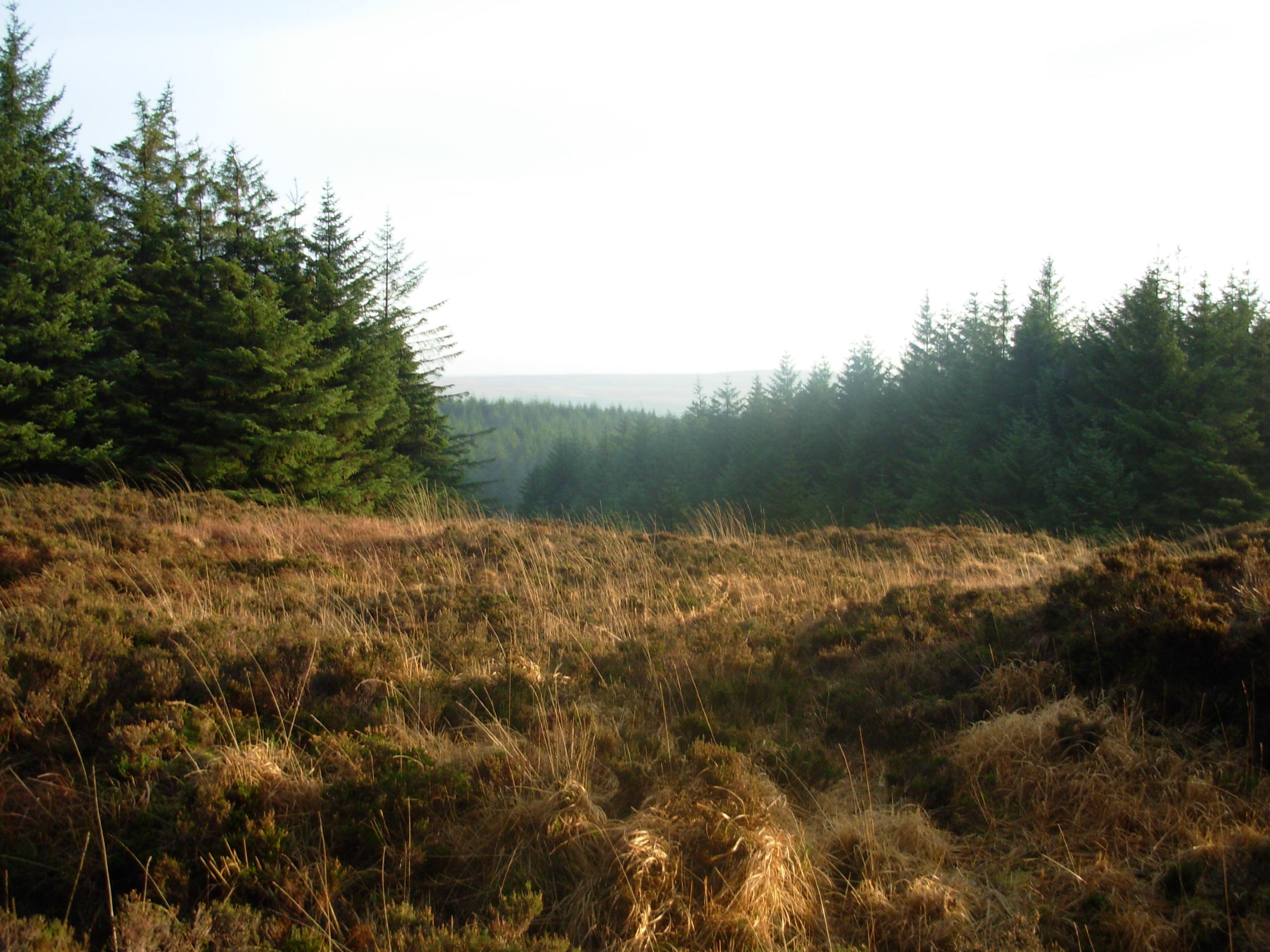
If you are looking for a bit of variety on your walk in terms of terrain, then you should definitely explore the Breen Oakwood and Moyle Way Trail. This fun route will see you traverse a nice mixture of surfaced trails, forest pathways, and boggy landscape, while offering views of the surrounding woodlands and hillside.
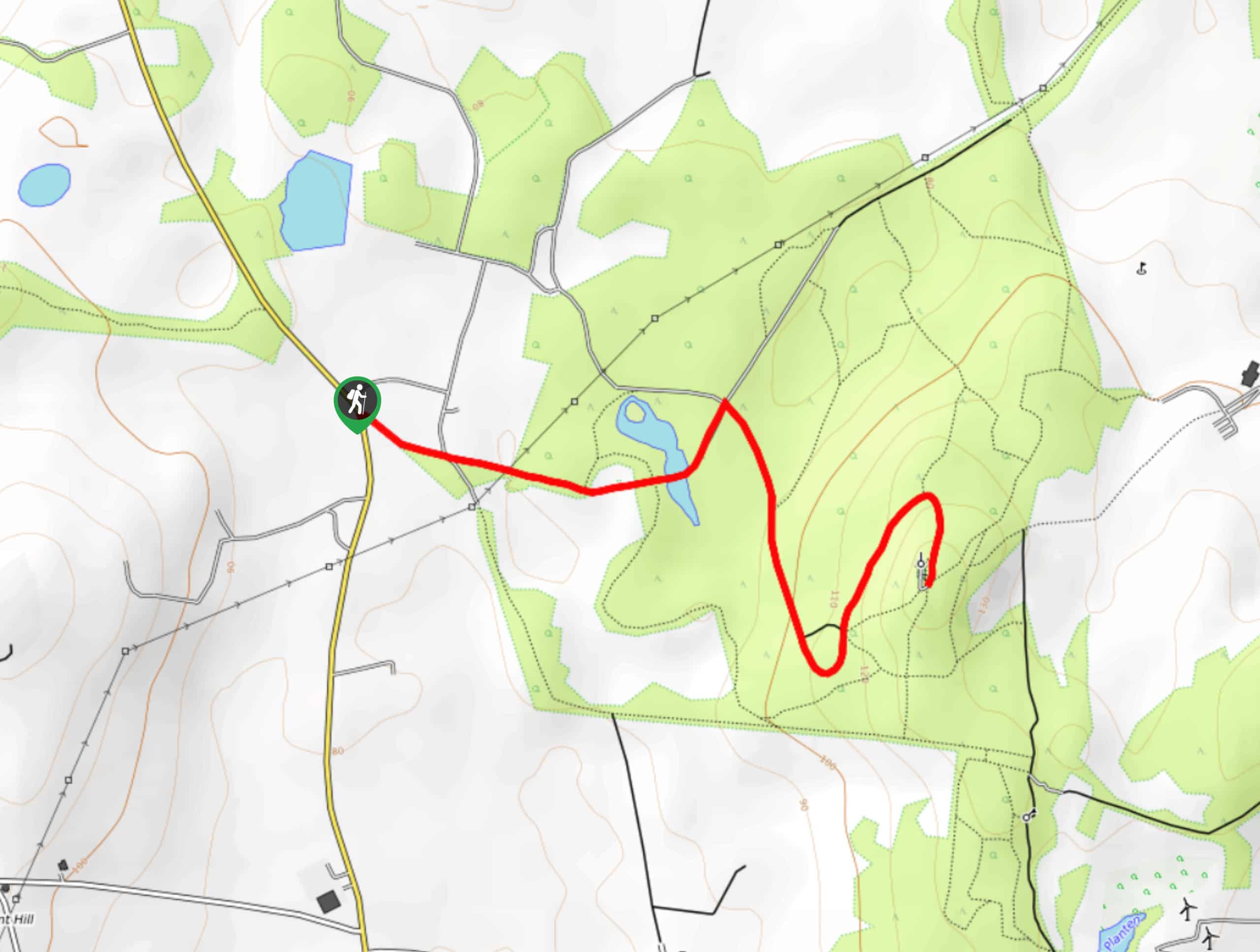
Setting out from the trailhead, you will head to the southeast along the road as it passes in between to sections of forest. After following the trail around the edge of the wood, you will cross over a stream and begin making your way up the steep forested hillside.
As you loop through the area, you will pass through beautiful mature trees and swathes of open bog that will open up the views to include the surrounding area. Reaching the southwesternmost point of the route, you will turn to the north and follow the path downhill, once again making your way through the forest on the return to the trailhead where you started.
Similar hikes to the Breen Oakwood and Moyle Way Trail hike

Helen’s Tower Walk
The Helen’s Tower Walk is a quick adventure in County Down that will lead you slightly uphill to an historic…

Annalong Wood and Blue Lough Circular Walk
The Annalong Wood and Blue Lough Circular Walk is a rugged and challenging adventure in the Mourne Mountains of Northern…

Drumnaph Nature Reserve Walk
The Drumnaph Nature Reserve Walk is a fun outdoor excursion that will lead you through a variety of landscapes offering…


Comments