

Bloody Bridge River via Brandy Pad Loop
View PhotosBloody Bridge River via Brandy Pad Loop
Difficulty Rating:
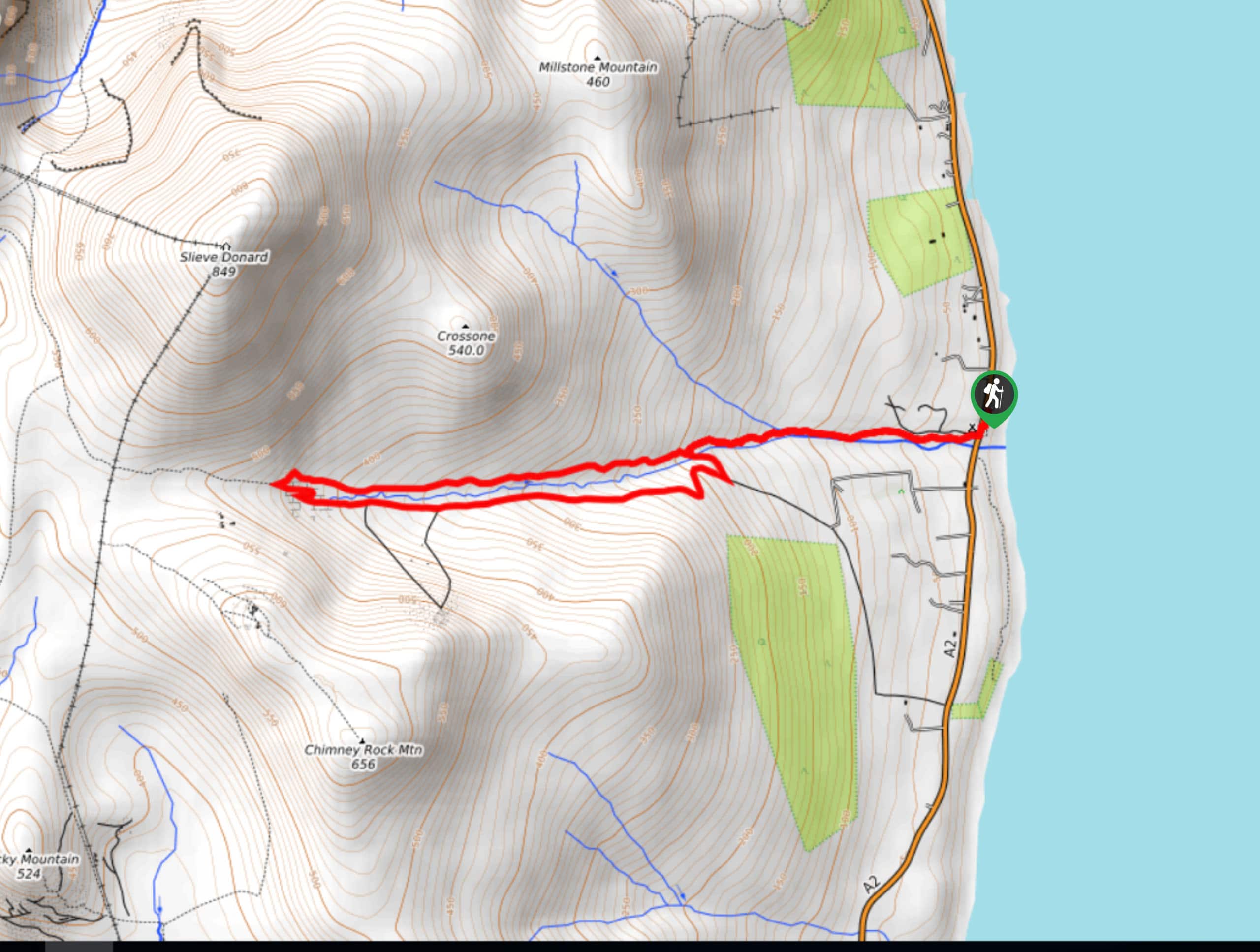
The Bloody Bridge River via Brandy Pad Loop is an awesome trail in Northern Ireland that will take you uphill for views of the Irish Sea. While out walking the trail, you will climb up the rugged hillside along the banks of Bloody Bridge River, before looping around the hillside for stunning views of the surrounding terrain and water. Good walking boots are recommended, as there is a fair amount of rocky and uneven terrain along this route.
Getting there
The trailhead for the Bloody Bridge River via Brandy Pad Loop can be found 2.5mi south of Newcastle along Ballagh Road/A2.
About
| Backcountry Campground | Mourne Camping |
| When to do | Year-Round |
| Pets allowed | Unclear |
| Route Signage | Average |
| Crowd Levels | Moderate |
| Route Type | Lollipop |
Bloody Bridge River via Brandy Pad Loop
Elevation Graph
Weather
Bloody Bridge River via Brandy Pad Loop Description
If you are after a moderate length adventure that features some rugged terrain and stunning views across the Irish Sea, then you will definitely want to check out the Bloody Bridge River via Brandy Pad Loop.
Setting out from the car park, you will initially head south and cross over the road, turning to the west in order to begin making your way up the hillside. After meeting up with the Bloody Bridge River, you will use its banks as a guide and follow along the water’s edge to further explore the trail.
Eventually, you will branch off to the left and cross over the river, continuing on to the west as you climb up the steep hillside along the southern back of the river. As you continue to gain elevation, take some time to appreciate the surrounding mountains, including Slieve Donard to the north and Chimney Rock Mountain to the south. After reaching the westernmost point of the trail, you will cross over the Bloody Bridge River once again and turn back to the east, taking in some amazing views of the Irish Sea as you descend the hillside on the way back to the trailhead.
Similar hikes to the Bloody Bridge River via Brandy Pad Loop hike

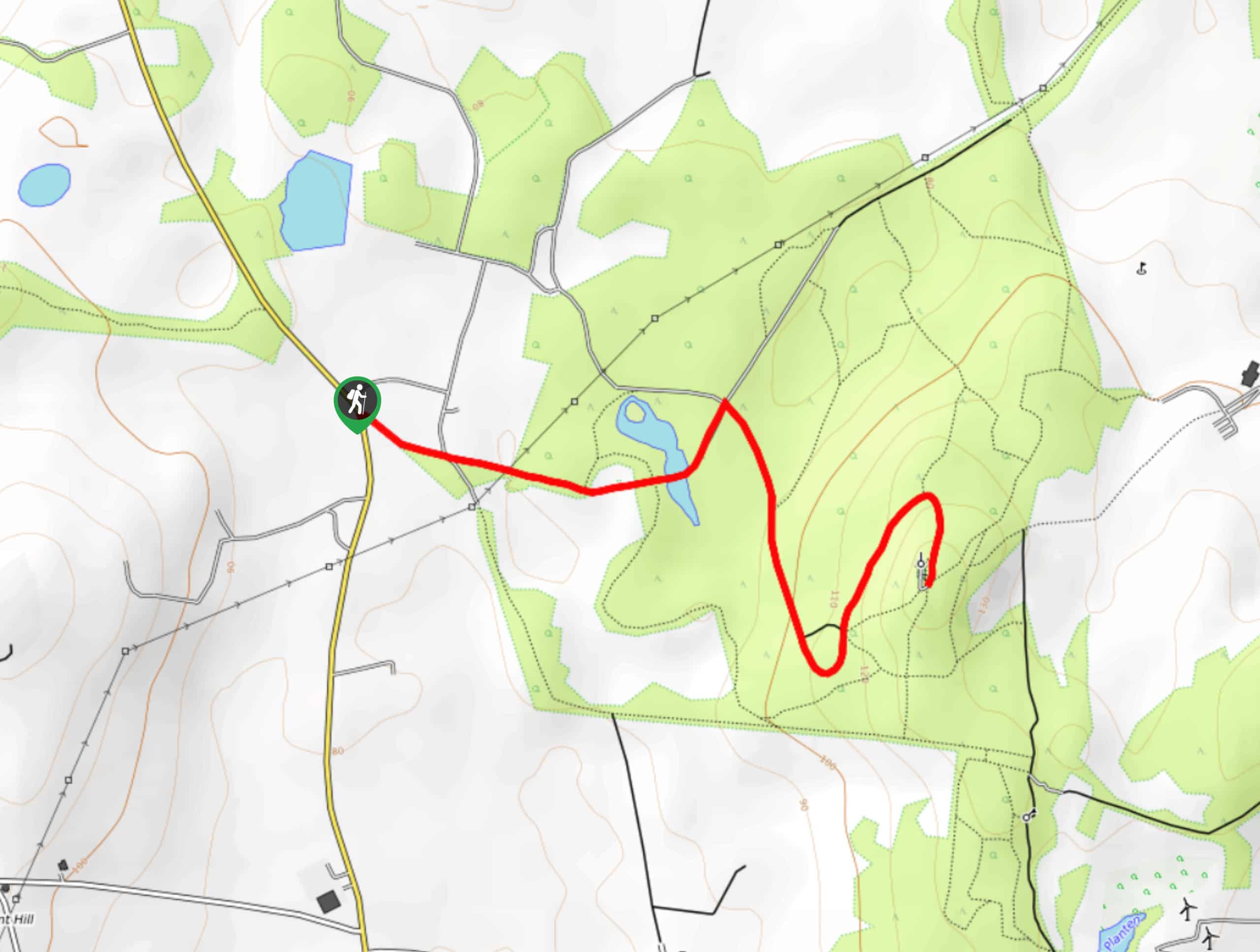
Helen’s Tower Walk
The Helen’s Tower Walk is a quick adventure in County Down that will lead you slightly uphill to an historic…

Annalong Wood and Blue Lough Circular Walk
The Annalong Wood and Blue Lough Circular Walk is a rugged and challenging adventure in the Mourne Mountains of Northern…

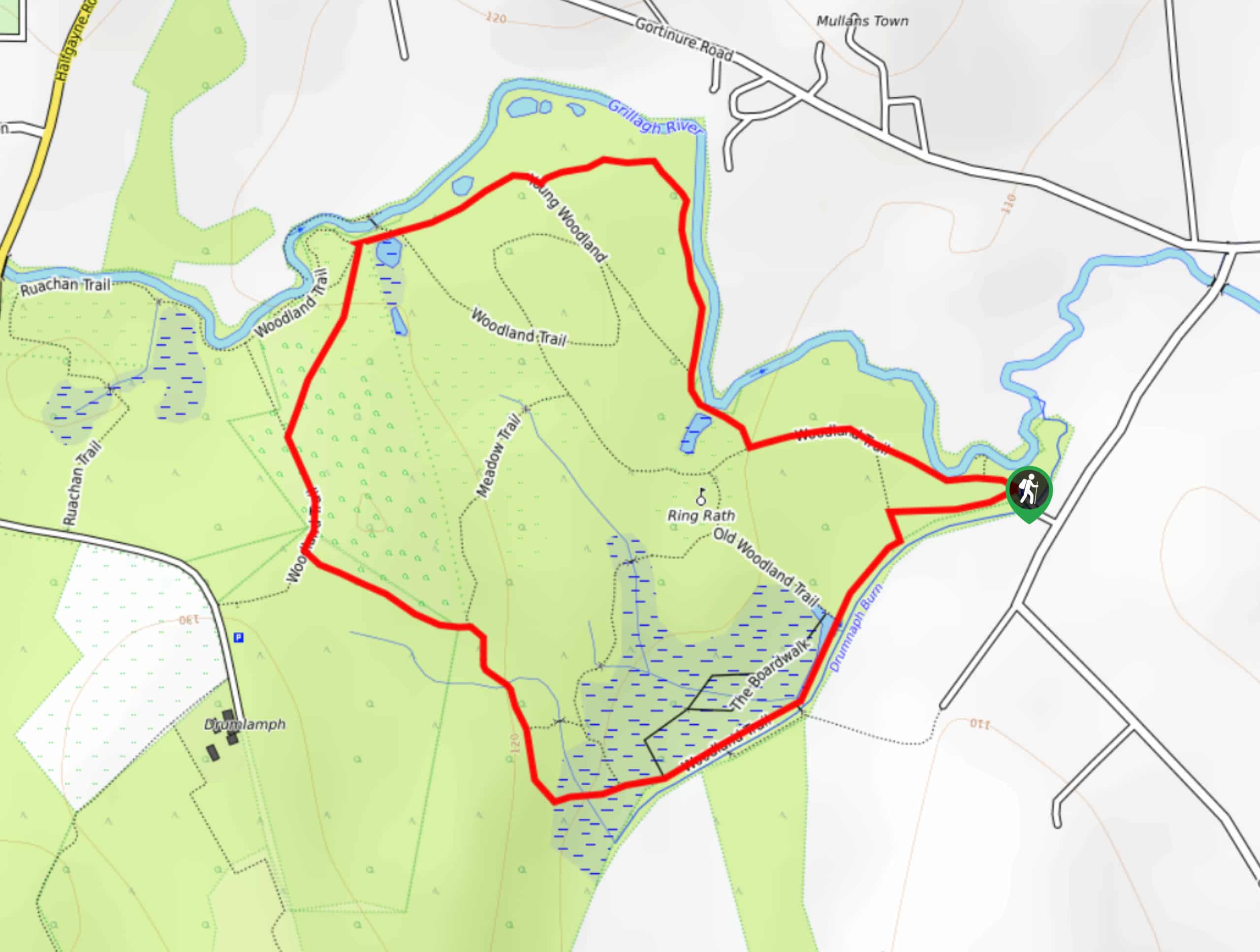
Drumnaph Nature Reserve Walk
The Drumnaph Nature Reserve Walk is a fun outdoor excursion that will lead you through a variety of landscapes offering…


Comments