

Binevenagh Forest Circular Walk
View PhotosBinevenagh Forest Circular Walk
Difficulty Rating:
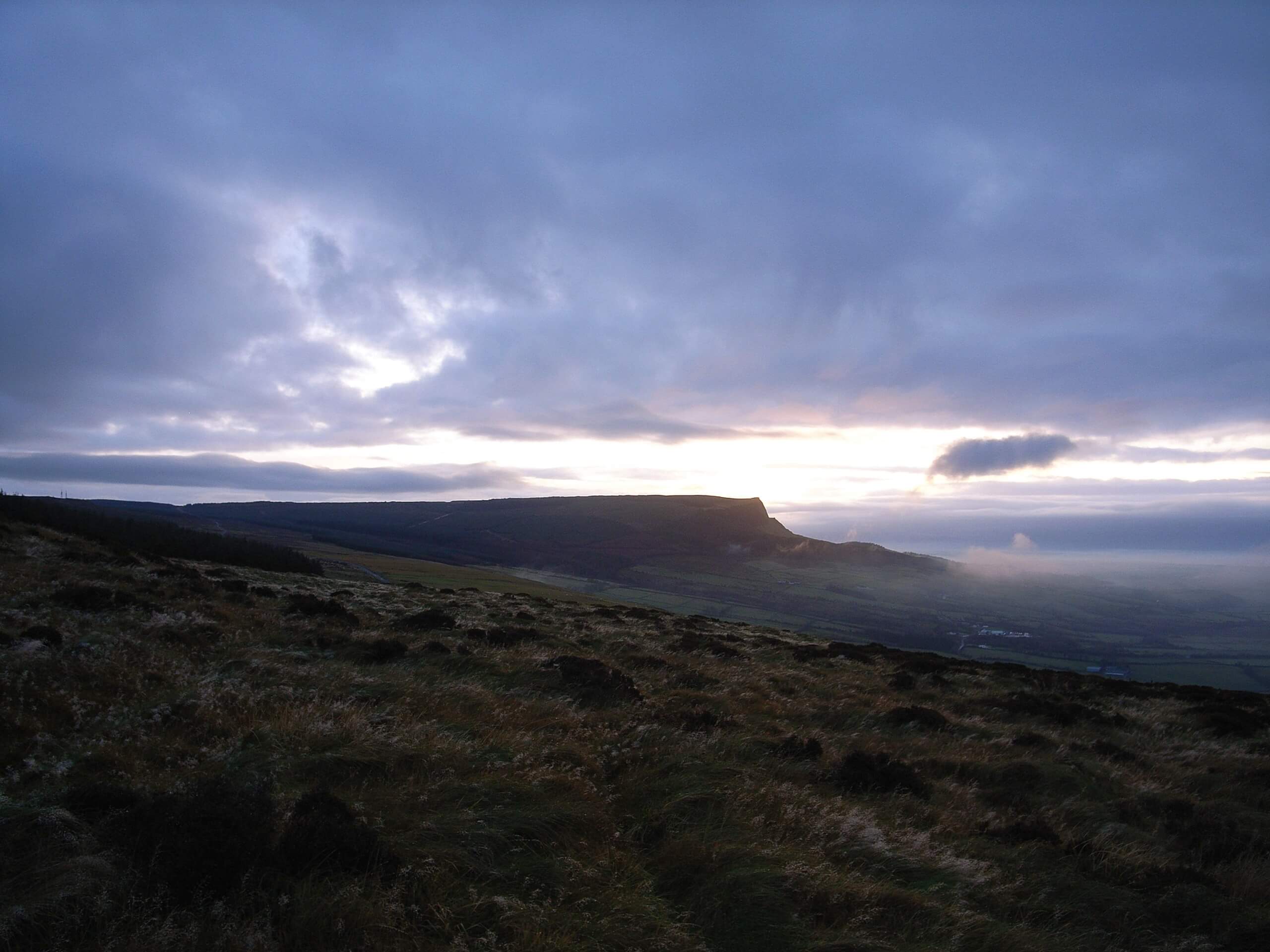
The Binevenagh Forest Circular Walk is an exceptional walking route in the Binevenagh Area of Outstanding Natural Beauty that will take you uphill through the forest to visit a hilltop lake. While out walking the trail, you will climb uphill through dense stretches of the Binevenagh Forest, traversing the rugged terrain of Binevenagh Peak to reach a lake of the same name where you will enjoy sweeping views of the surrounding landscape. Terrain along this route can be a bit uneven under foot, so be sure to wear proper walking boots with good support.
Getting there
The trailhead for the Binevenagh Forest Circular Walk can be found 2.8mi northwest of Artikelly at Ballycarton Wood, just off of Aghanloo Road.
About
| Backcountry Campground | No |
| When to do | Year-Round |
| Pets allowed | Yes - On Leash |
| Family friendly | Older Children only |
| Route Signage | Average |
| Crowd Levels | Moderate |
| Route Type | Lollipop |
Binevenagh Forest Circular Walk
Elevation Graph
Weather
Binevenagh Forest Circular Walk Description
If you are after a bit of a longer, more rugged adventure in Northern Ireland that will produce some gorgeous views overlooking the surrounding terrain, then the Binevenagh Forest Circular Walk is a great option to do so. This walk will introduce you to the natural beauty of the Binevenagh AONB and take you through a variety of terrain types that make for a fun day on the trails.
Setting out from the trailhead, you will make your way north through the densely-wooded Binevenagh Forest, winding your way between the trees as you climb uphill along the slopes past the ruins of Craigbolie Castle. Eventually, the trail will turn to the east and meet up with Leighery Road, which will take you to the southeast across the waters of Tircreven Burn and further into the forest.
Turning to the southwest along a track through the forest, you will eventually pass by the summit of Binevenagh and turn to the northwest to meet up with the shores of Binevenagh Lake. Just a bit farther beyond this charming body of water, you will be able to enjoy sweeping views across the surrounding landscape, including Benone Strand to the northeast.
After taking in the views, you will make your way to the northeast along the edge of the escarpment, before heading downhill to meet up with the initial path from the beginning of your journey. Head left here and follow the trail as it bends to the southwest along the slopes of the hill, eventually bringing you back to the trailhead where you began.
Similar hikes to the Binevenagh Forest Circular Walk hike

Helen’s Tower Walk
The Helen’s Tower Walk is a quick adventure in County Down that will lead you slightly uphill to an historic…

Annalong Wood and Blue Lough Circular Walk
The Annalong Wood and Blue Lough Circular Walk is a rugged and challenging adventure in the Mourne Mountains of Northern…

Drumnaph Nature Reserve Walk
The Drumnaph Nature Reserve Walk is a fun outdoor excursion that will lead you through a variety of landscapes offering…


Comments